Jen and I spent three weeks in Australia, visiting as much of the eastern coast as we could. We started by seeing the sights in Sydney. Then flew north to Port Douglas to summit a mountain in the world’s oldest rainforest and snorkel the Great Barrier Reef. Then flew south to Melbourne to rent a campervan and drive the Great Ocean Road. Flew back up to Sydney and caught a train out to Katoomba to backpack the Blue Mountains. And then finished the trip on the outskirts of Sydney at the old Quarantine site in Manly Beach.
Instead of making everyone wait and writing up multiple blogs, I am just going to dump all the decent photos I have into this post. I ended up with +700 photos from the trip and have distilled them down to a mere 123 photos. So grab a drink and have a nice scroll through the photos!
Sydney, New South Wales
We flew into Sydney and stayed in the Woolloomooloo/Elizabeth Bay area for a few days. Doing all the typical things you do like see the Opera House, take a harbor tour, go to the Botanic Gardens, Visit the Aquarium. I didn’t take a lot of photos here because we’ve all seen these a million times over. Regardless, here are the basics. 🙂
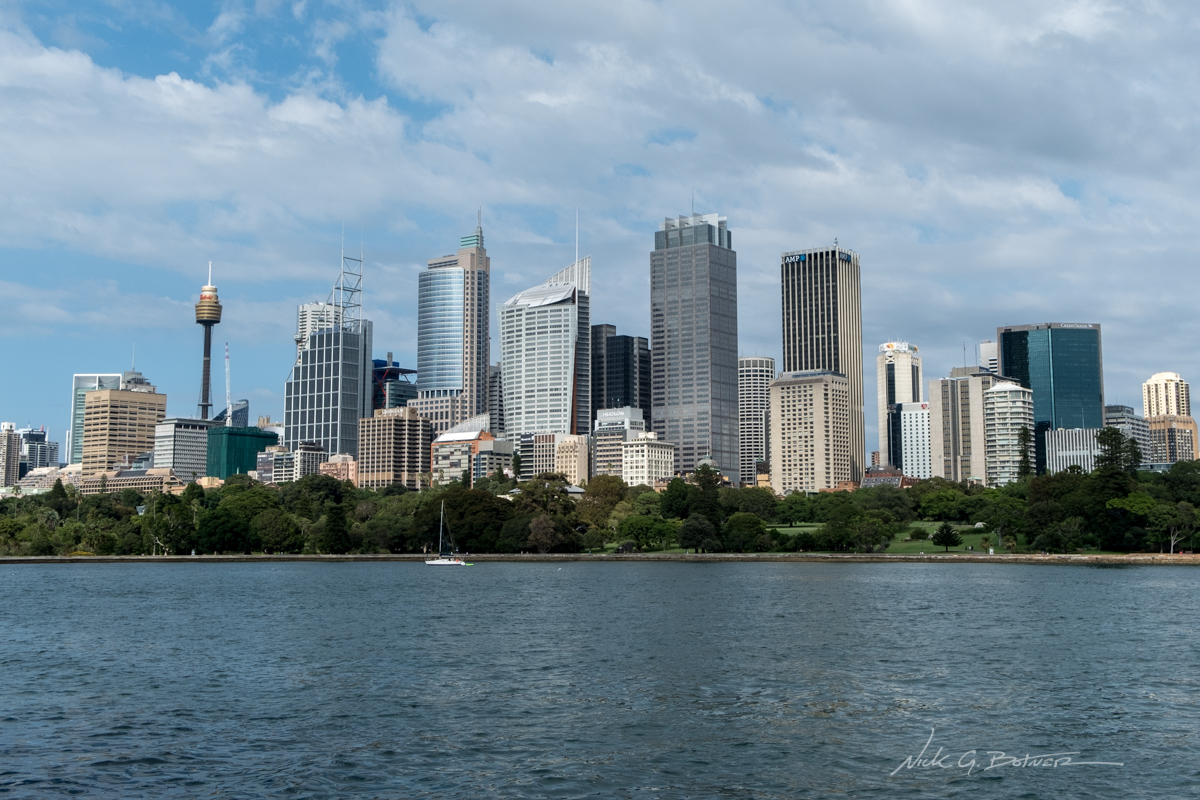
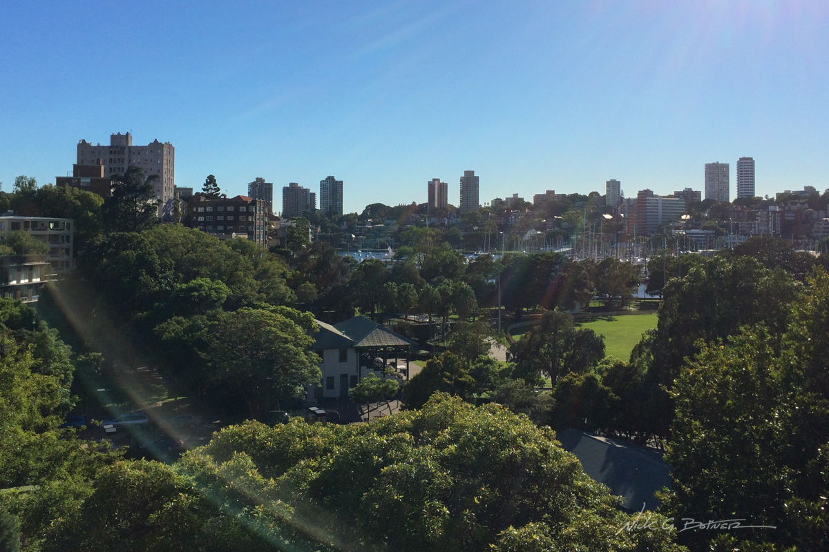
View of the Royal Botanic Gardens with Downtown Sydney in the background.
![]()
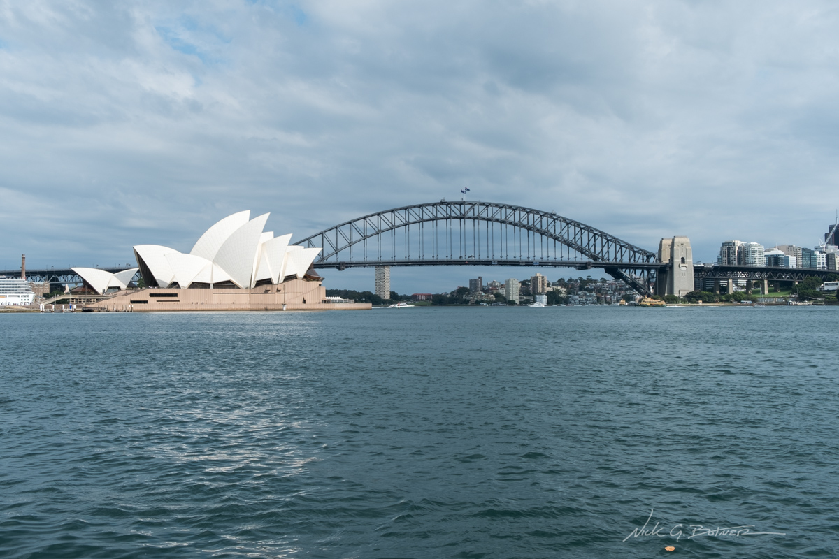
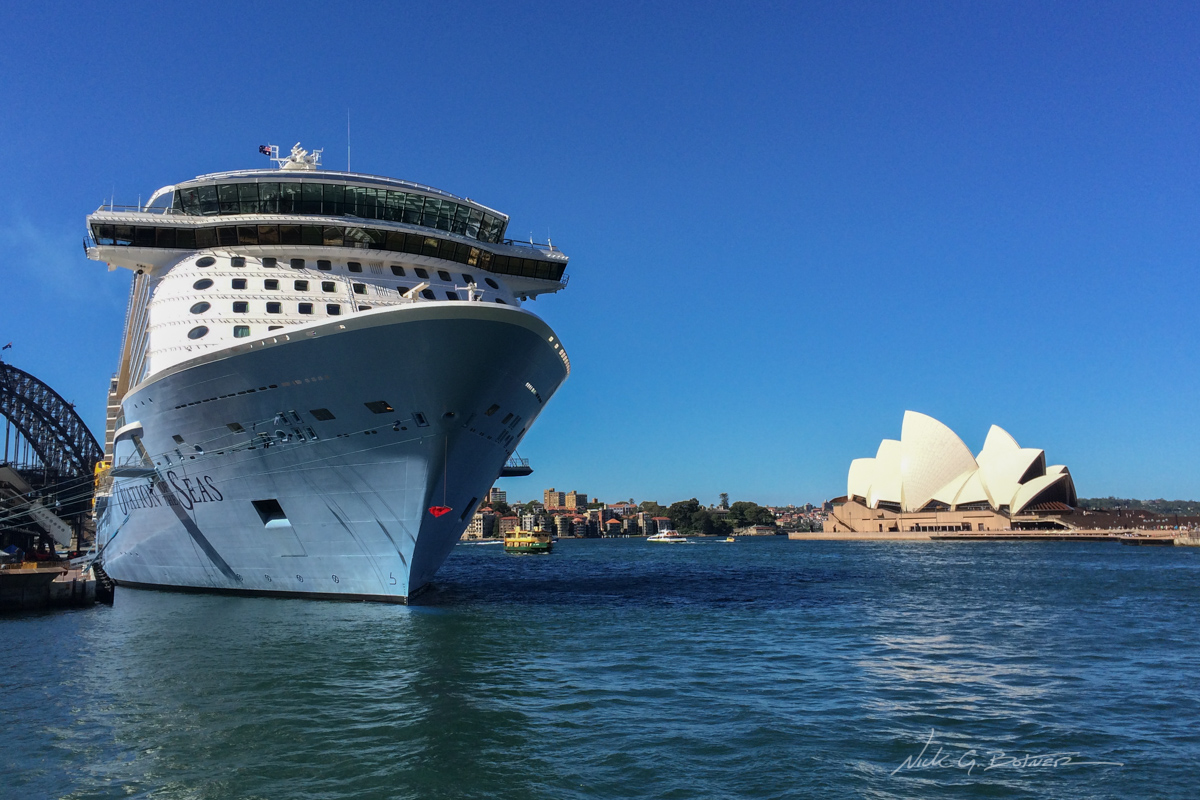
Mandatory Opera House and Sydney Bridge photo.
![]()
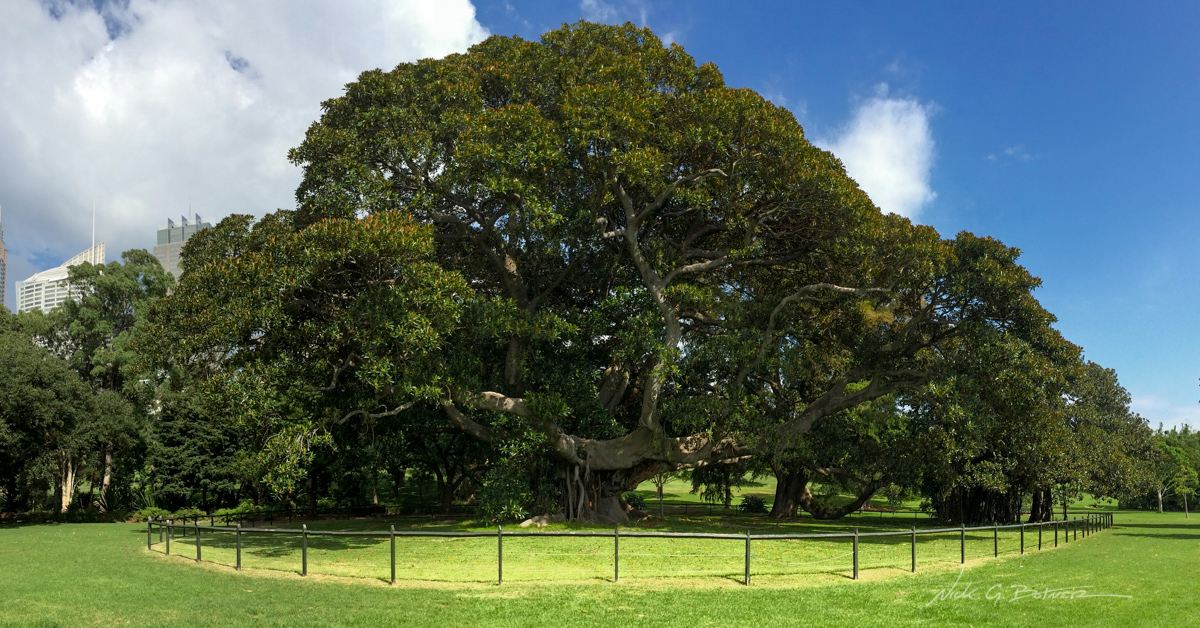
Largest (widest) tree I have ever seen. Taken inside the Royal Botanic Gardens.
![]()
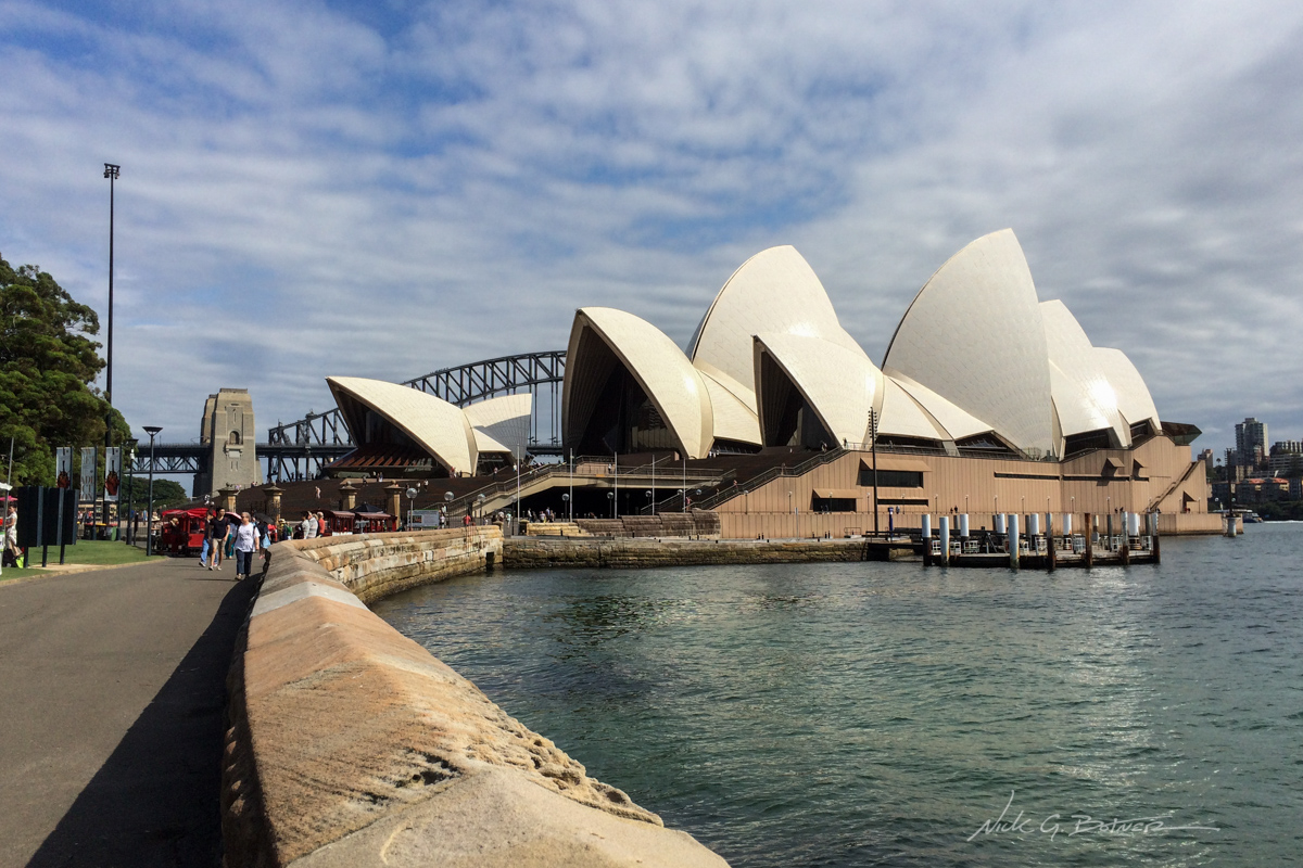
This is about as close as we got to interacting with the Opera House. We had birds to discover in the park next door
![]()
Nothing spectacular, just the view from our place in Elizabeth Bay.
![]()
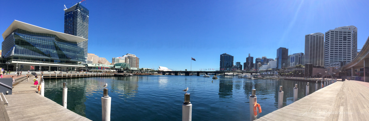
Panoramic of Tumbalong Bay, Darling Harbor where we went to the aquarium to see the hideous dugongs.
![]()
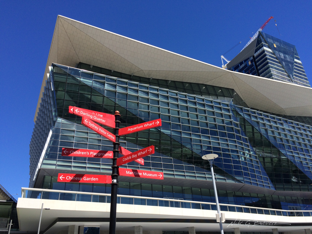
Loved the architecture of the International Convention Center in Darling Harbor.
![]()
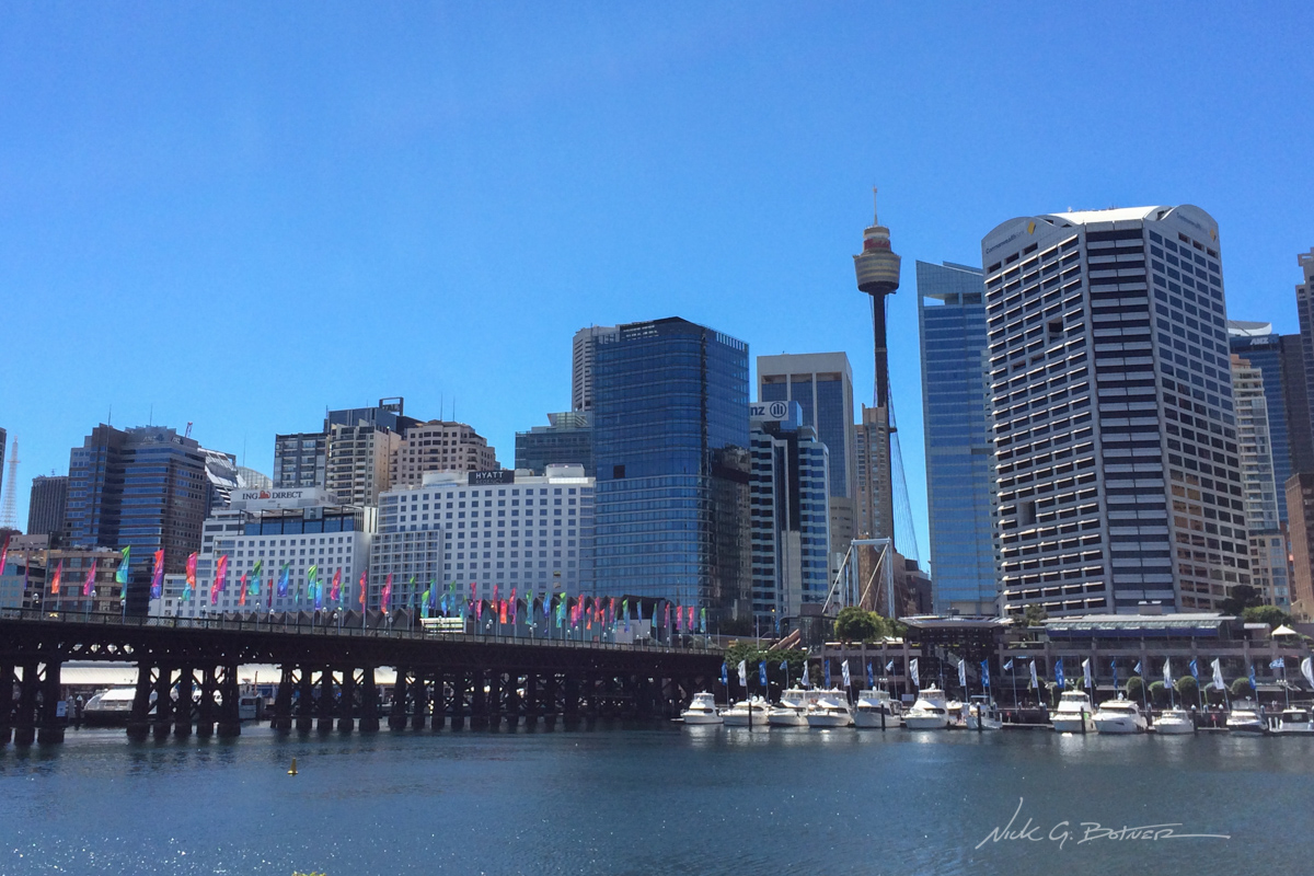
Prymont footbridge over Darling Harbor.
![]()
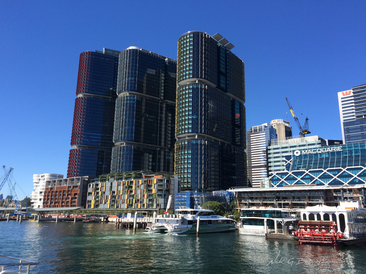
International Towers Sydney.
![]()
View of the Opera House from Circular Quay ferry terminal
![]()
Port Douglas, Queensland
We flew into Cairns, rented a car and drove north to Port Douglas. We did two main things here. One was to summit Mt Sorrow (aptly named) and then dive (snorkel) the Great Barrier Reef. I have a video coming out of the mountain summit adventure. But unfortunately I did not take any photos of the reef. Just load up any nature program on the reef and then take that and multiply it by a hundred to get the same experience. 🙂
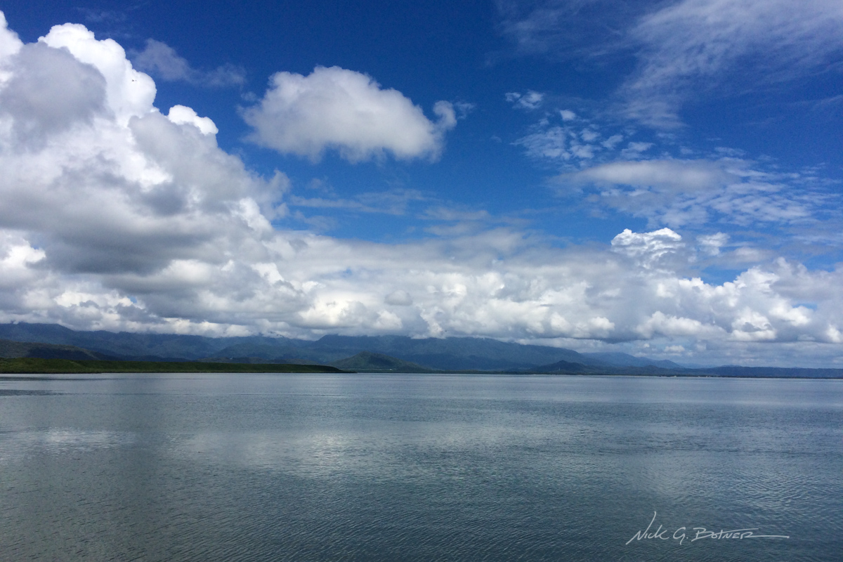
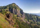
Looking North from Port Douglas. We had some great weather and some wet weather.
![]()
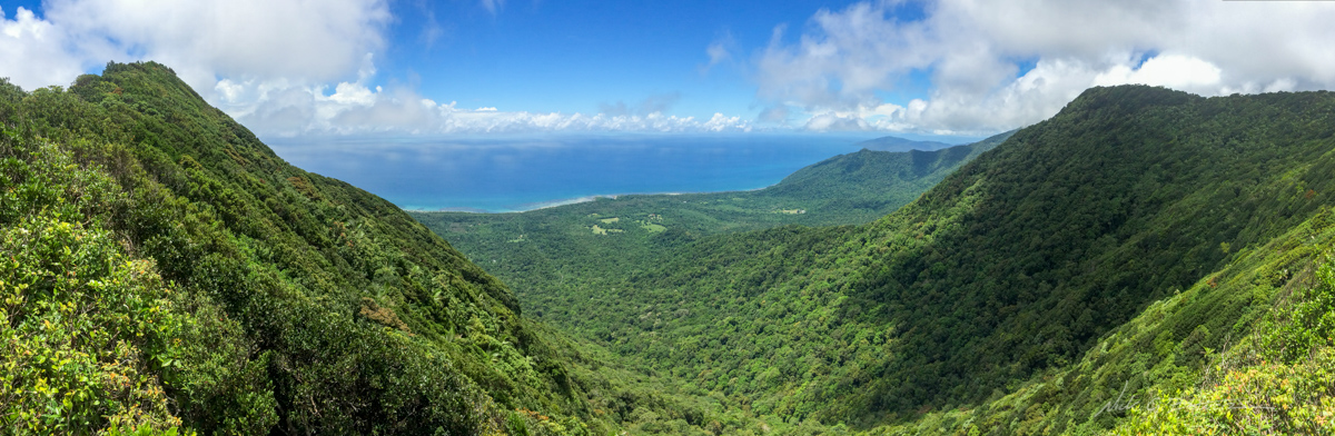
Panoramic view from the summit of MT Sorrow.
![]()
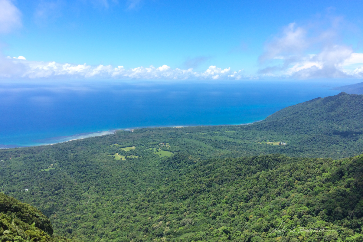
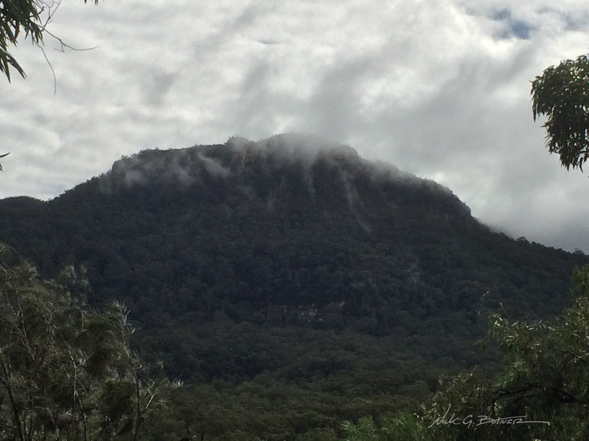
Another view from the summit. It’s hard to tell, but the reef is out there under those clouds.
![]()
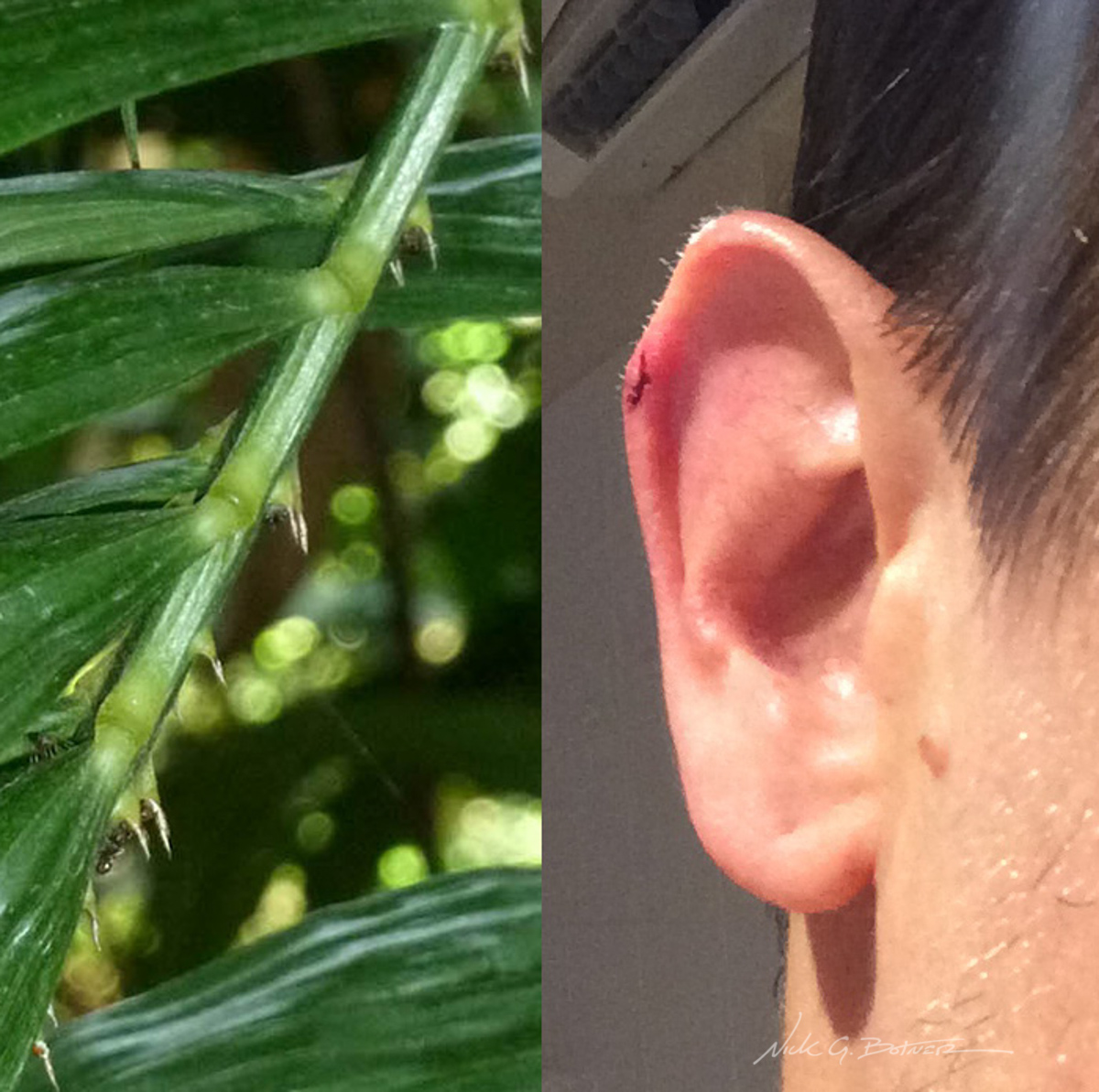
This is Lawyer Vine Palm. It has extremely sharp hooked spikes on the underside of the palm. One of these grabbed hold of my ear and managed to rip it open. Jen performed first aid and I survived.
![]()
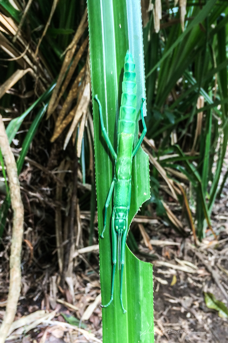
Massive Peppermint Bug! Probably 6in or so in length.
![]()
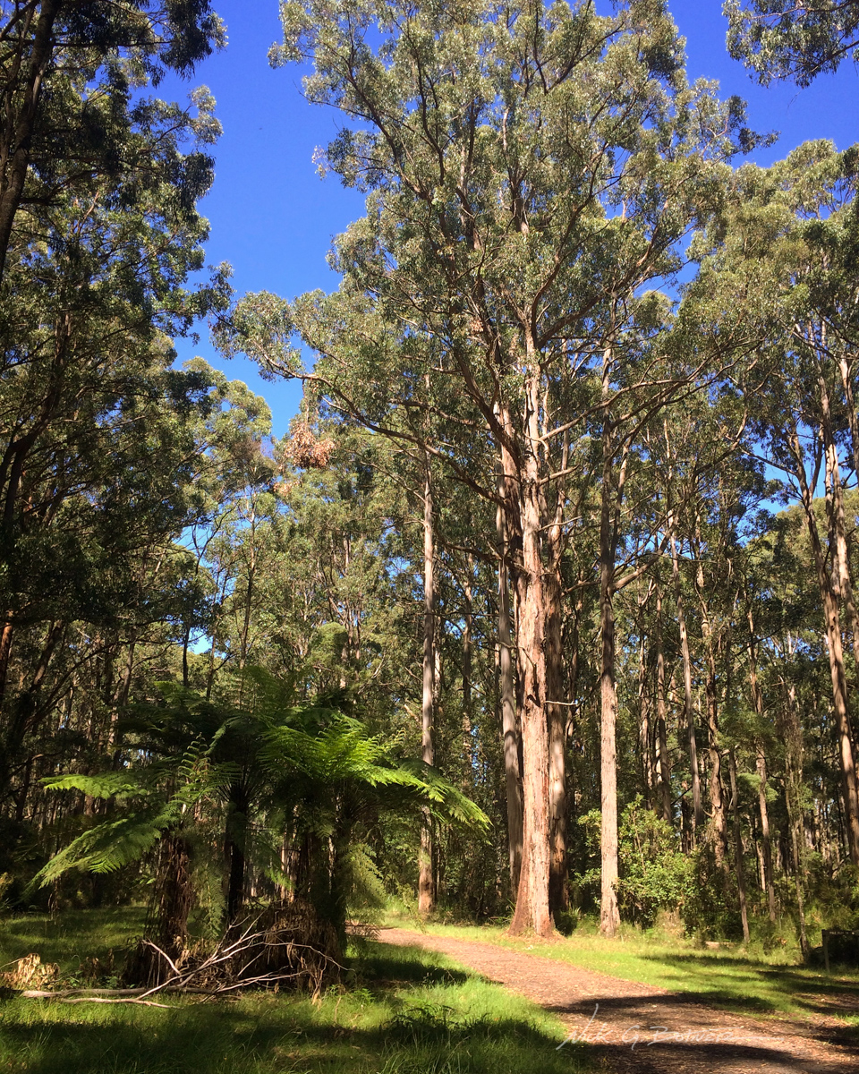
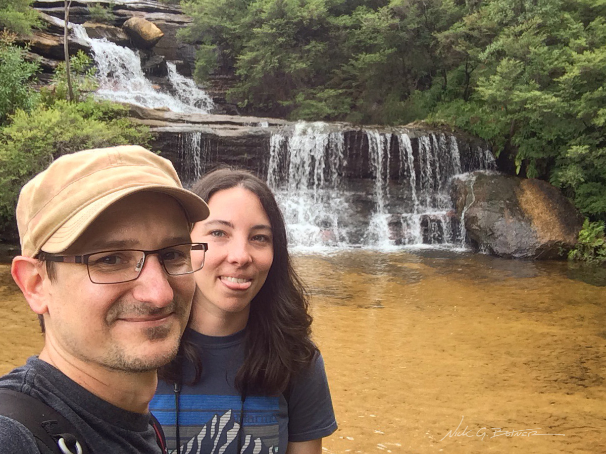
Dandenong Ranges National Park, Victoria
While in Melbourne, we took an hour train ride out to the Sherbrooke Forest and hiked the Coles Ridge Track. It was a glorious day because this was where we first saw the splendid fairywren. Sadly I have no photos of said fairywren.
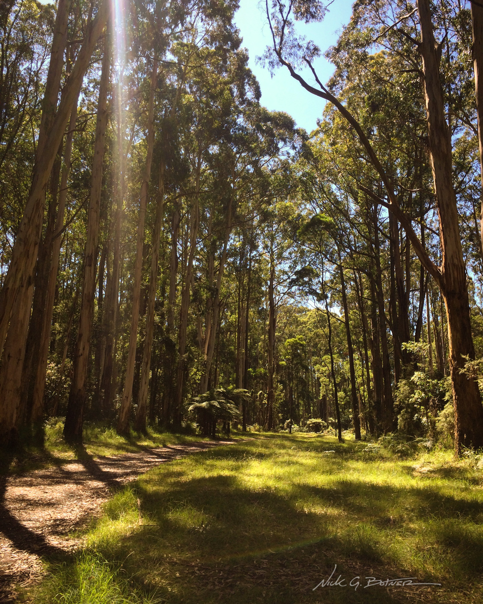
Massively tall trees line the track.
![]()
Clump of Fern Trees.
![]()
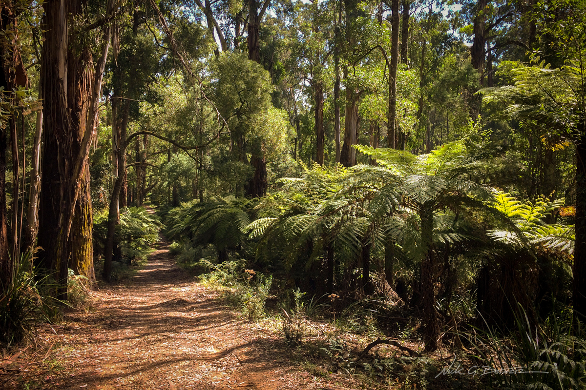
Such a beautiful forest track.
It was now time to say goodbye to the city life and get ready for the van life!
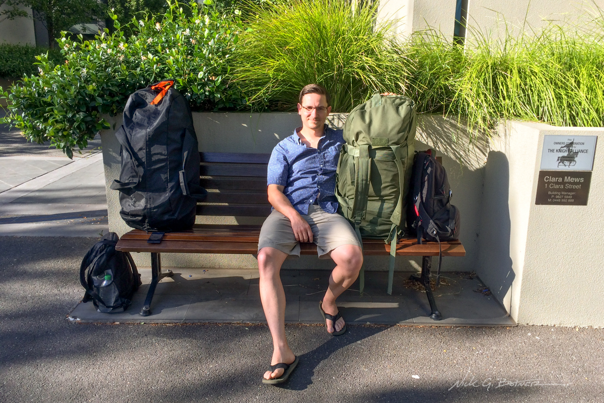
We did a lot of this in between our adventures.
![]()
Great Ocean Road, Victoria – Day 1
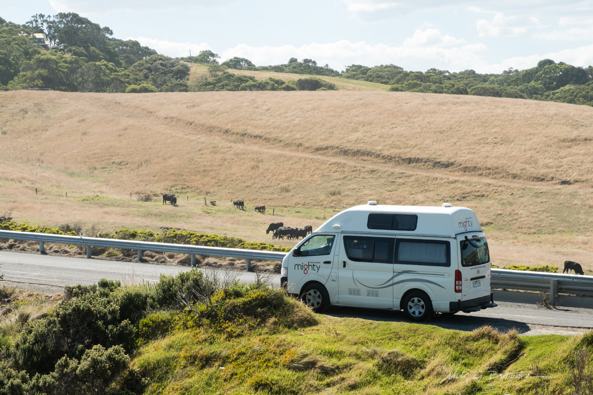
For our next adventure, which was slightly terrifying, we rented a campervan and drove the Great Ocean Road. We camped at three locations and made our way as far down as Peterborough before turning around.
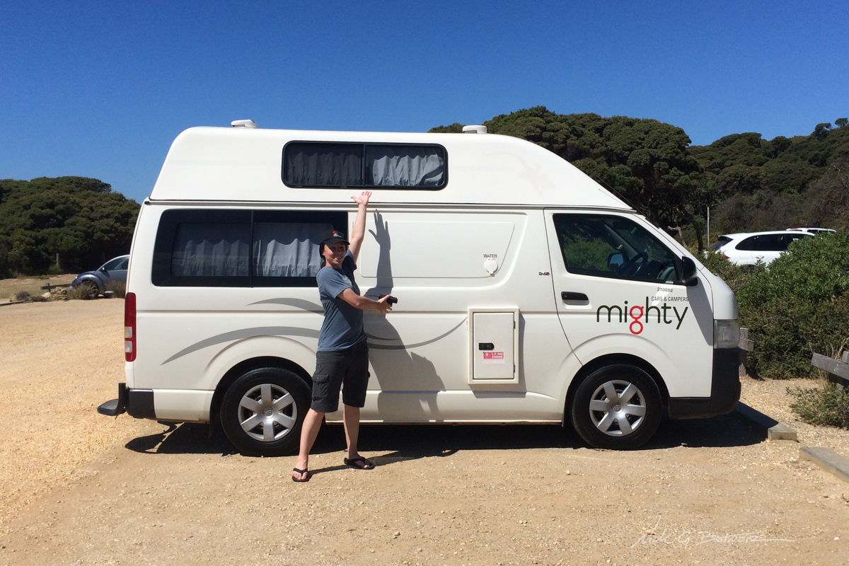
Say hello to our home for the next four days. She’s a manual, diesel, Toyota Hiace with over 300,000KM on the dial.
![]()
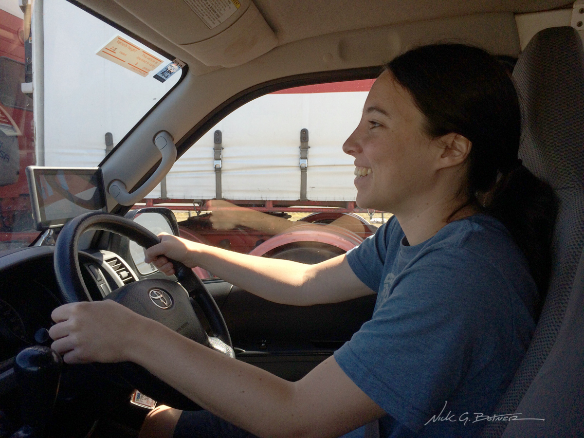
Jen took first stab at driving. And for the sake of all parties involved, I took over after lunch…for the rest of the trip. 😉
![]()
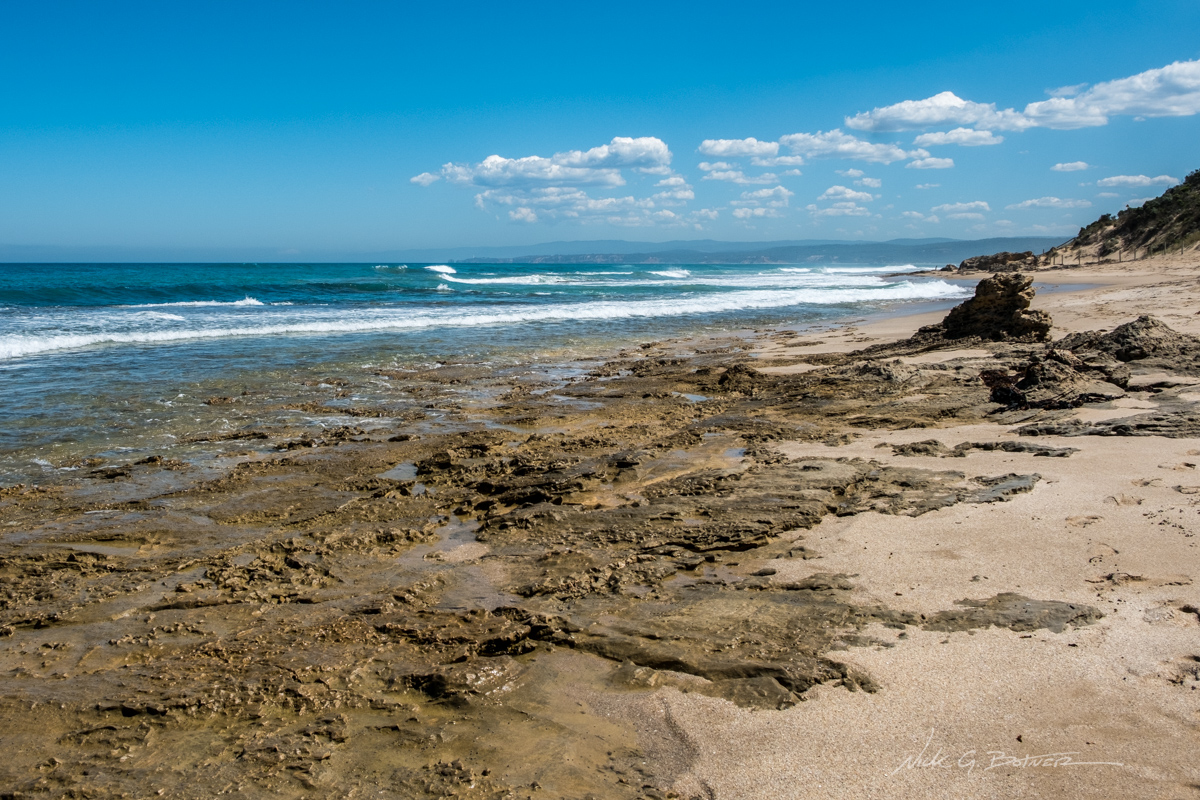
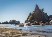
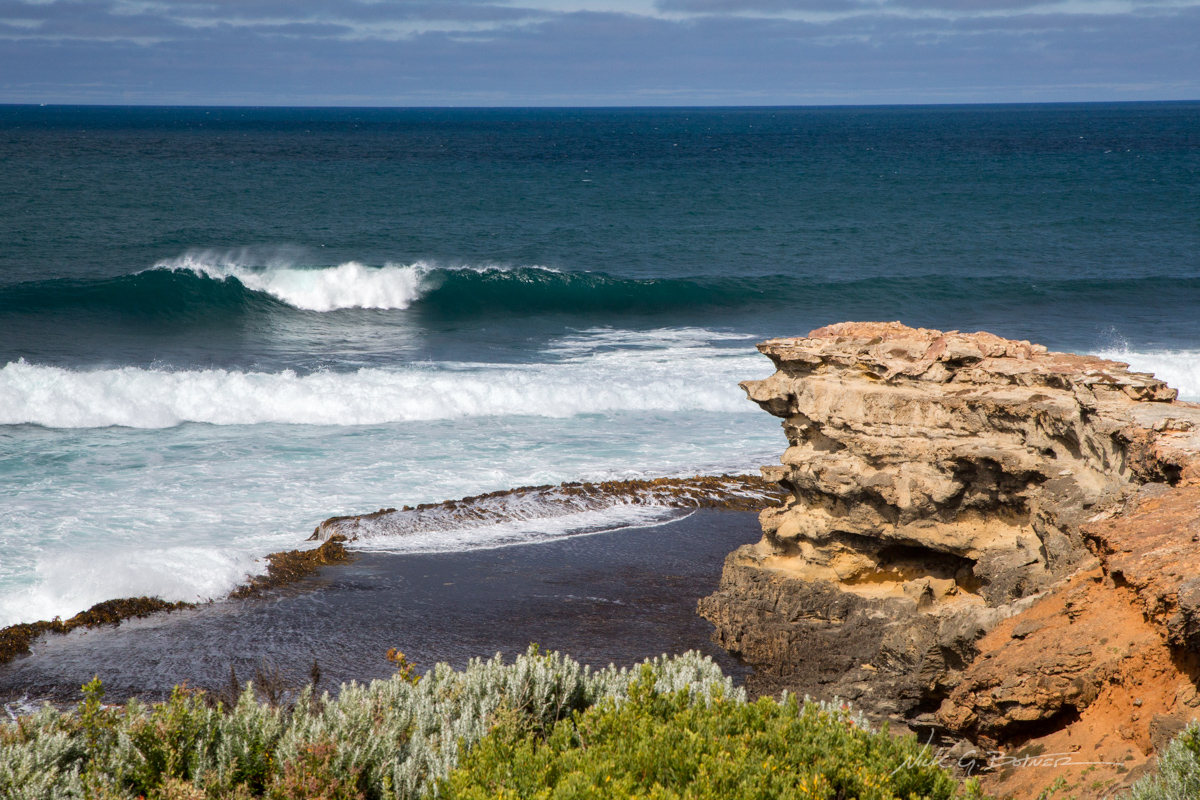
Lorne – Queenscliff Coastal Reserve
![]()
Lorne – Queenscliff Coastal Reserve
![]()
Lorne – Queenscliff Coastal Reserve
![]()
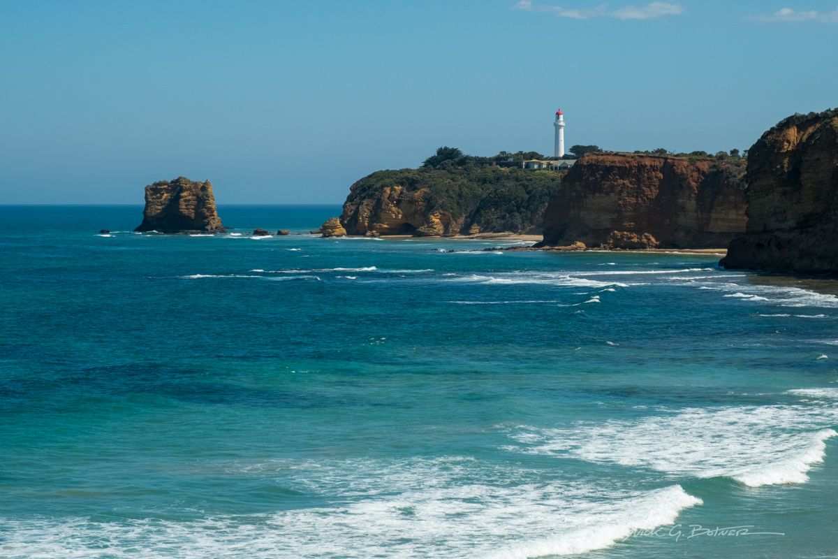
Split Point Lighthouse.
![]()
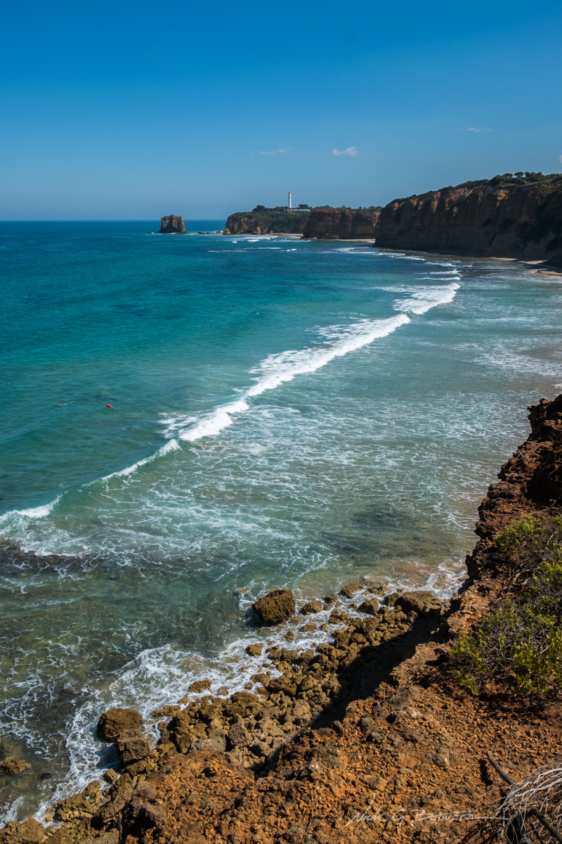
Split Point Lighthouse.
![]()

The view looking East from Split Point Lookout.
![]()
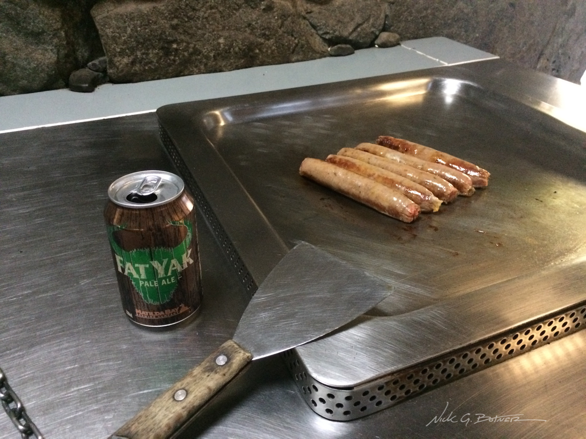
My first experience with barbecuing in Australia. Sorry, no shrimp or Fosters were available.
![]()
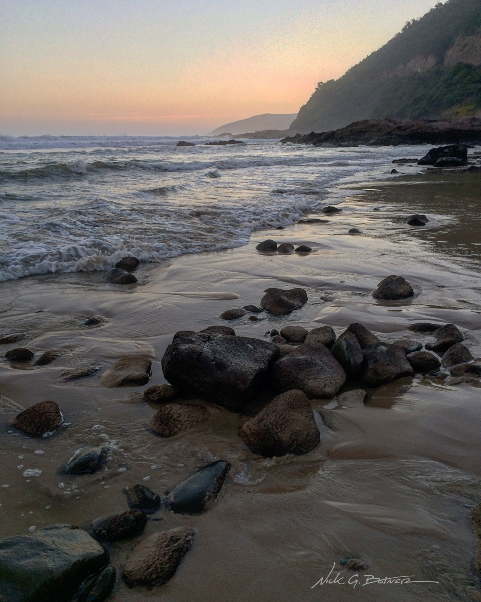
Sunset view from where Cumberland River meets the Ocean.
![]()
Great Ocean Road, Victoria – Day 2
It’s now day two of our Great Ocean Drive, and before hitting the road, Jen and I decide to hike up the Cumberland River Track and make our way to Cumberland Falls. While I took a lot of photos, I also recorded a video of this hike, so stay tuned for that.
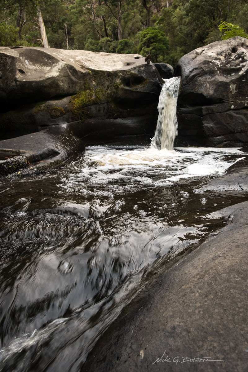
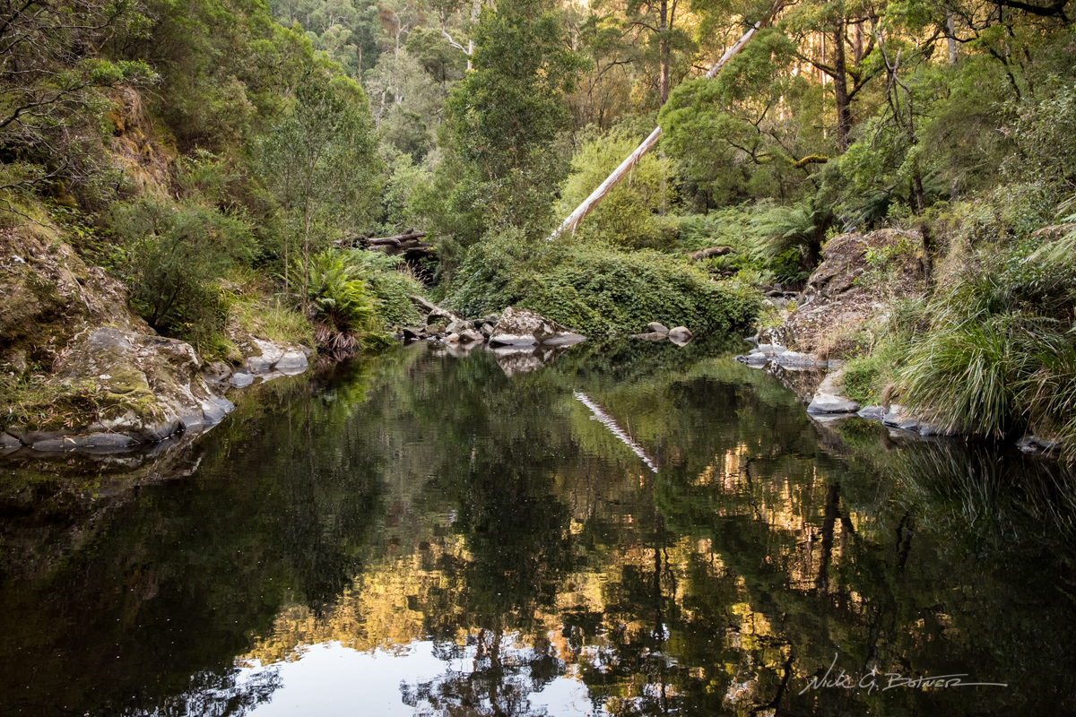
Jebbs Pool
![]()
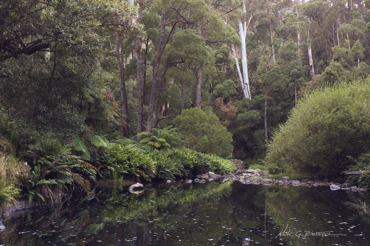
Cumberland River.
![]()
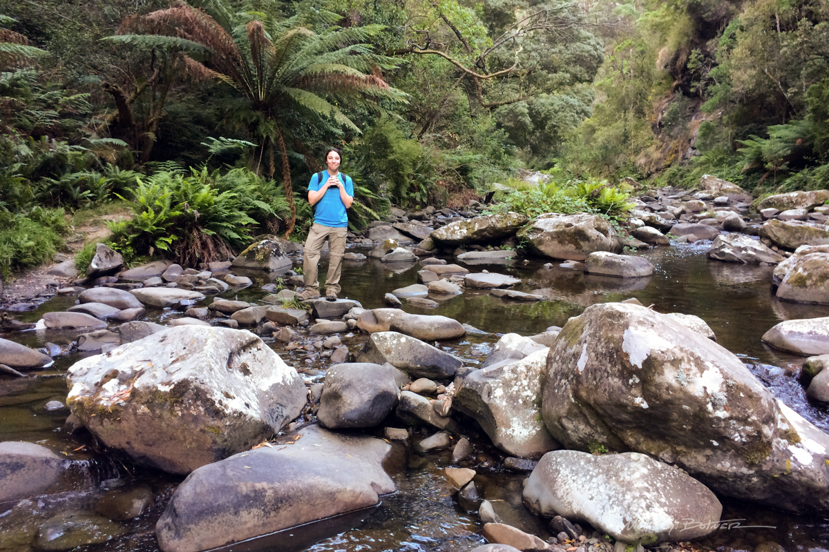
Jen crossing the Cumberland River.
![]()
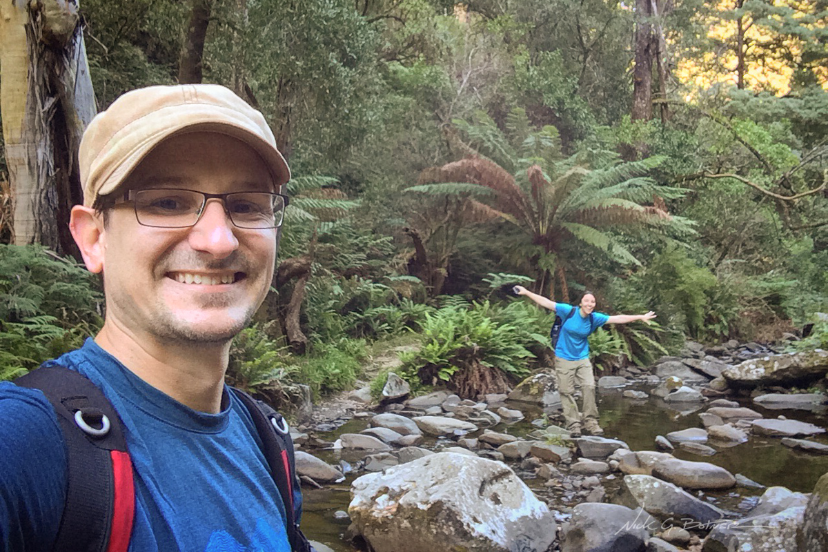
Forcing Jen to have fun.
![]()
As far as we could go up the river before turning around.
![]()
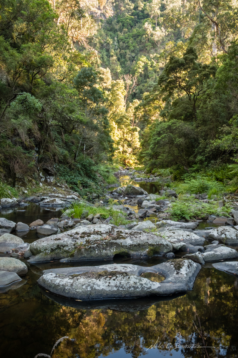
A look back down the Cumberland River
![]()
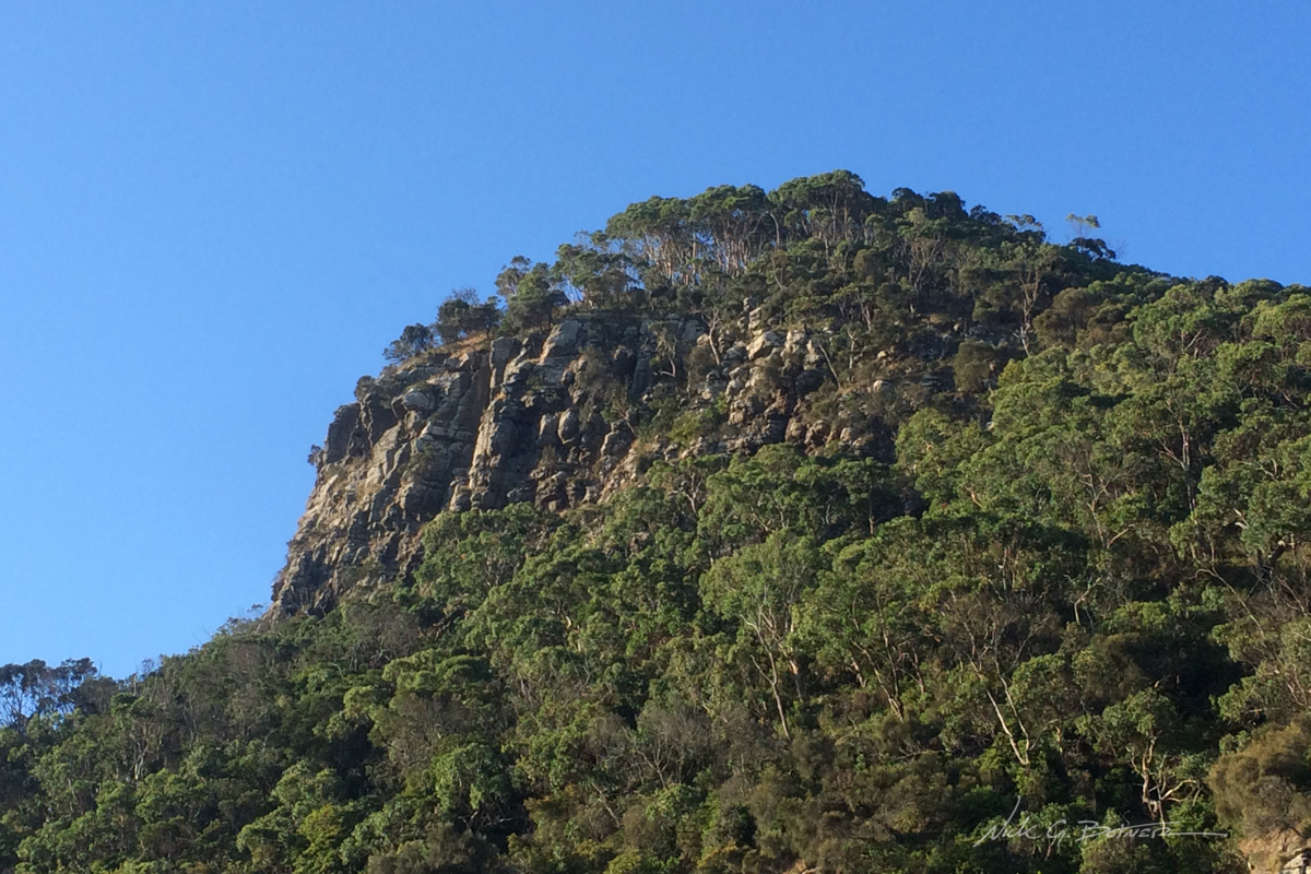
A view of Castle Rock from our RV site at Cumberland River.
From this point, Jen and I make our way back to the RV at Cumberland River Holiday Park and head on down the road.
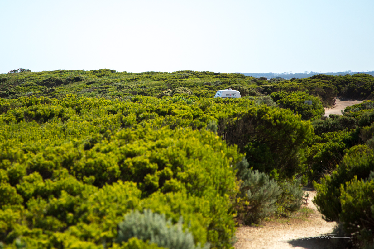
The Mighty looking majestic at one of the may roadside lookouts.
![]()
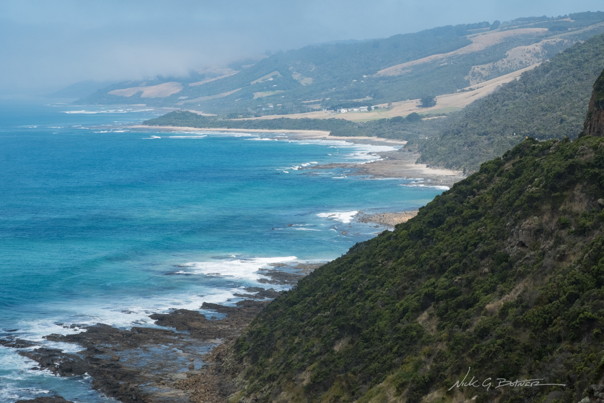
I believe this is the view from Cape Patton Lookout.
![]()
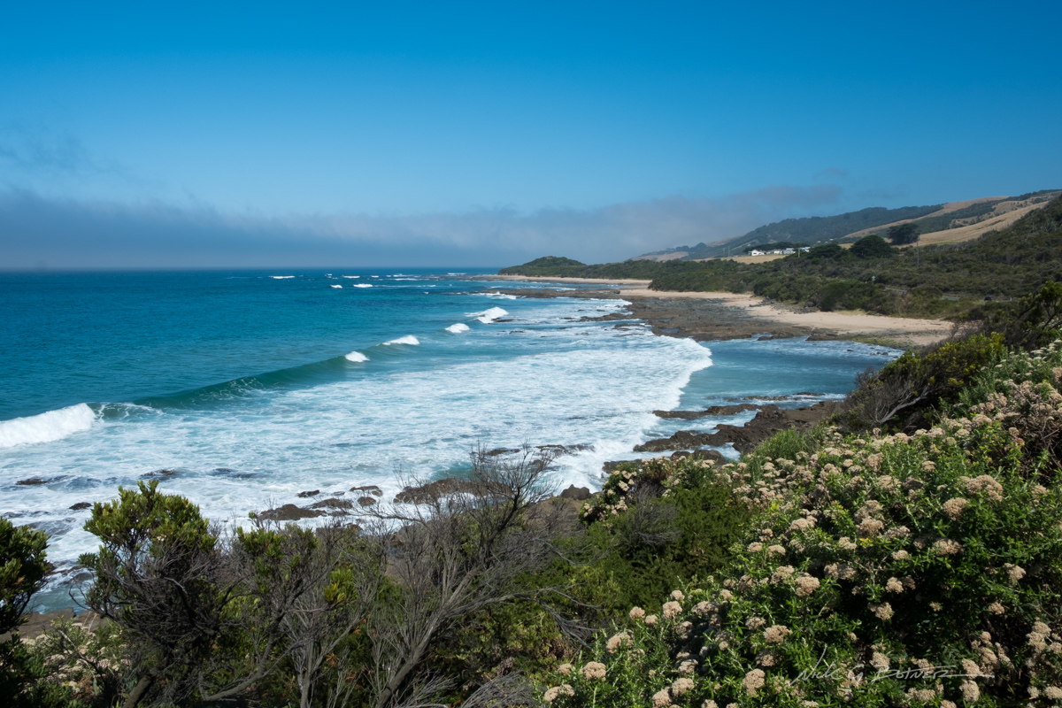
A little further down the road because the lookout was getting crowded with tour buses.
![]()
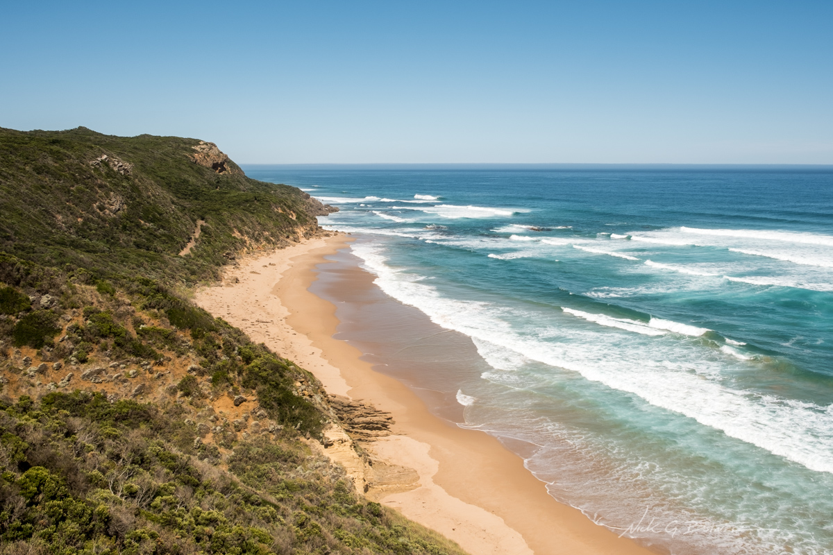
The view from Castle Cove Lookout.
![]()
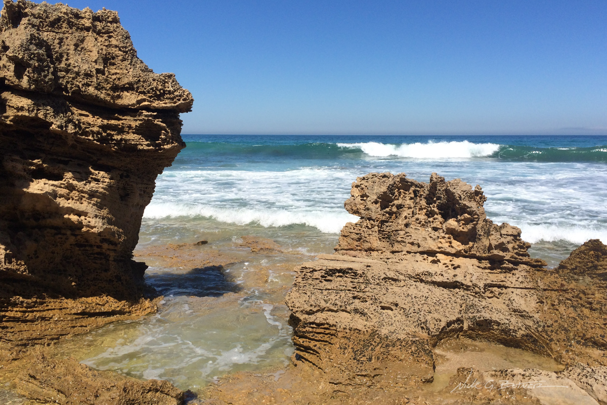
Down on the beach at Castle Cove.
![]()
Jen wonders about all the cuttlefish just below the surface while I try to not get swept away from the waves…at Castle Cove.
![]()
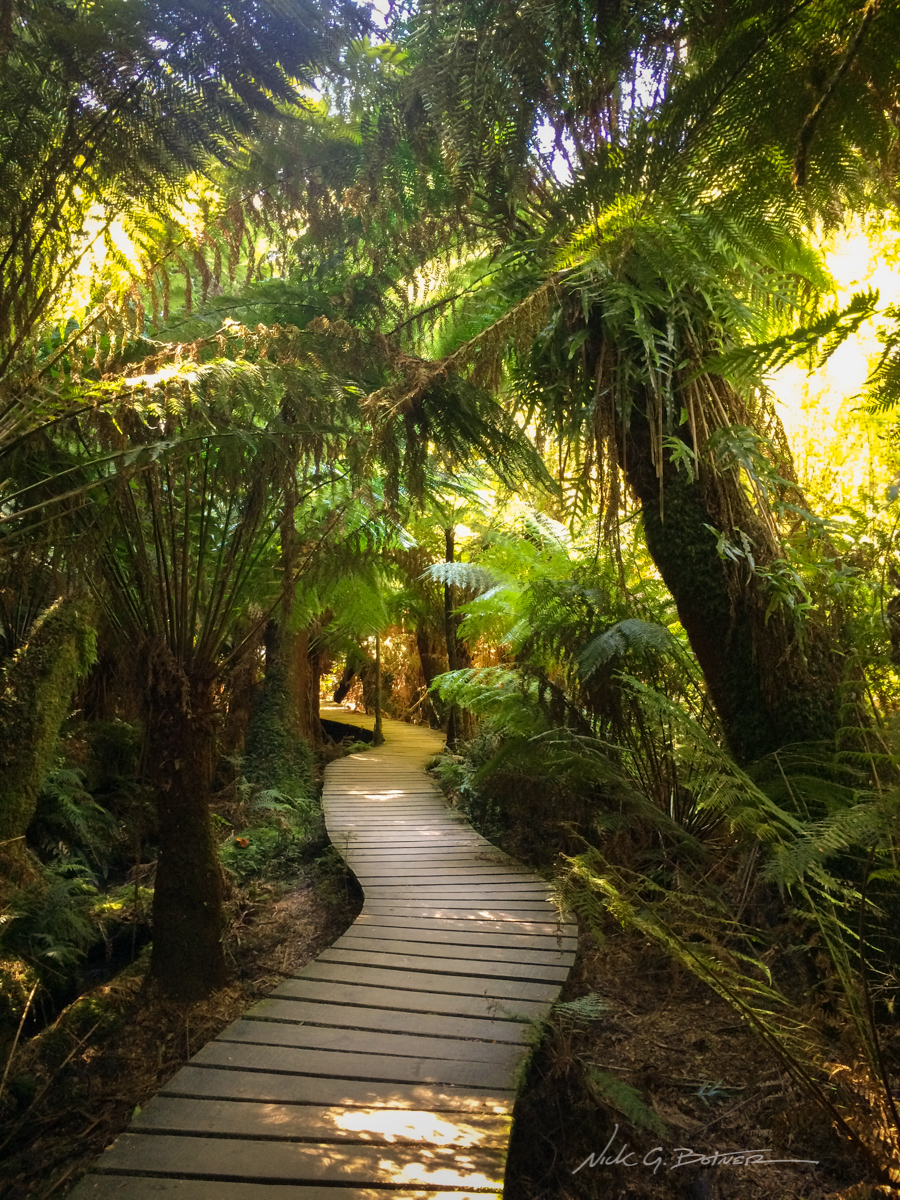
Maits Rest Rainforest Walk was a welcome stop along the trip.
![]()
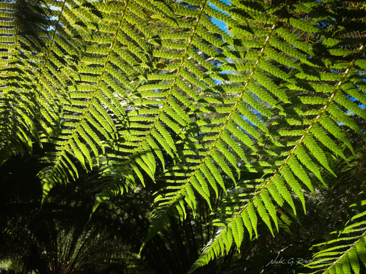
Fern Tree Ferns along the walk.
![]()
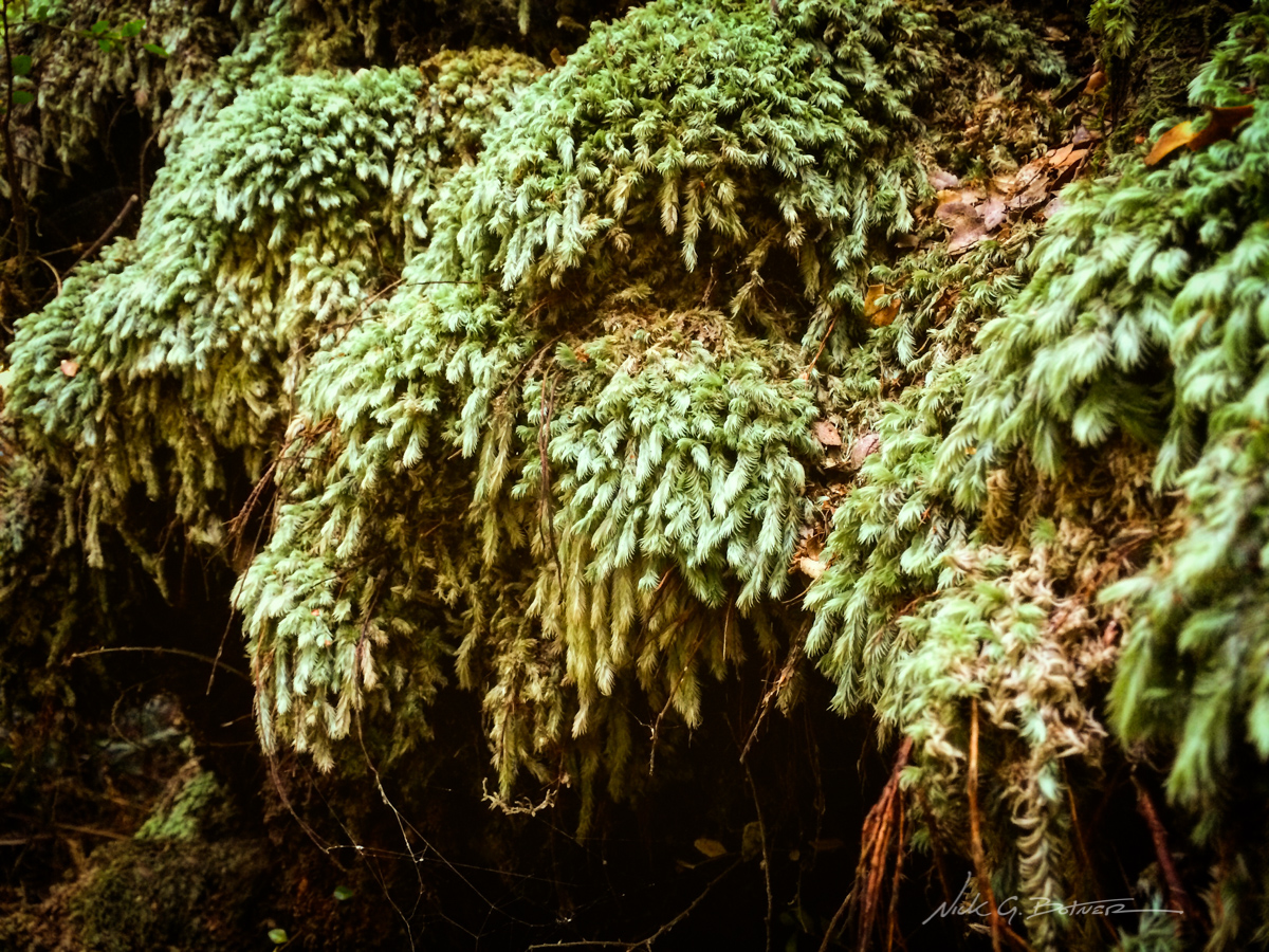
Lush moss along the rainforest walk.
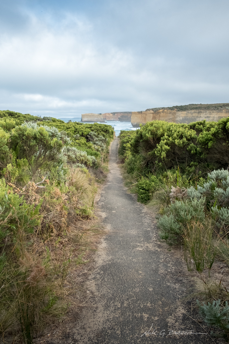
We wanted to see the 12 Apostles in early morning light, so we chose to stay at the Princetown Camping Reserve which was a few minutes up the road from them. After setting up our RV under a canopy of trees, we decided to walk around a little and explore the area.
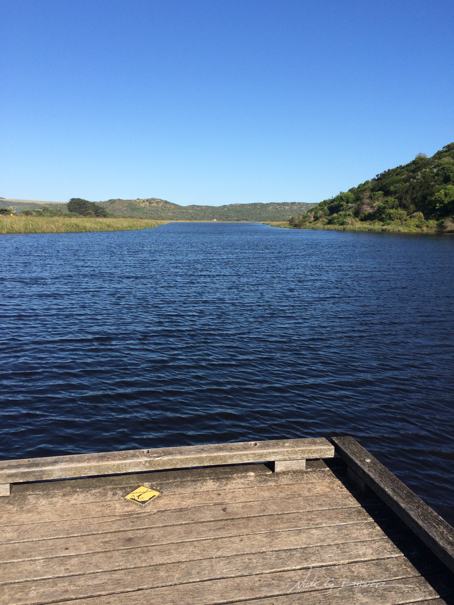
A view of Gellibrand River. Our RV is hidden under the massive trees to the left.
![]()
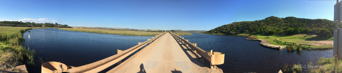
Panoramic view of Gellibrand River and the bridge you have to cross in order to get to the campground.
![]()
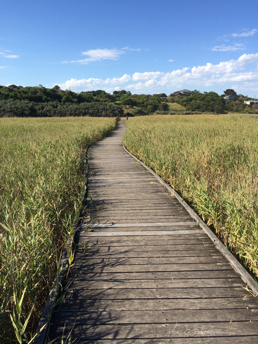
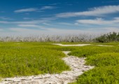
Princetown Wetlands Boardwalk, which leads you up the hill to a couple stores and more camping.
![]()
No words.
![]()
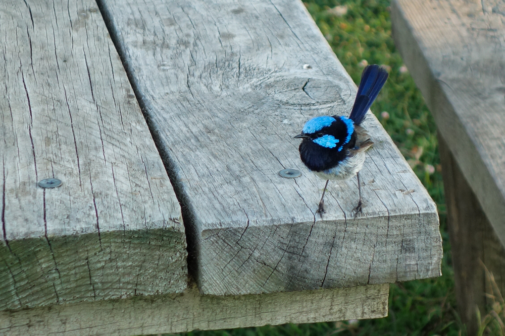
Jen manages to capture an amazing shot of a Superb Fairy Wren
![]()
Great Ocean Road, Victoria – Day 3
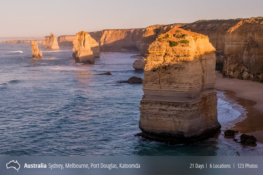
It’s now day three and Jen and I pack up and take off early in the morning so we can catch first light on the 12 Apostles.
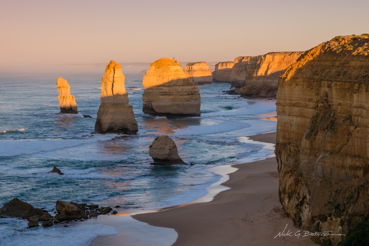
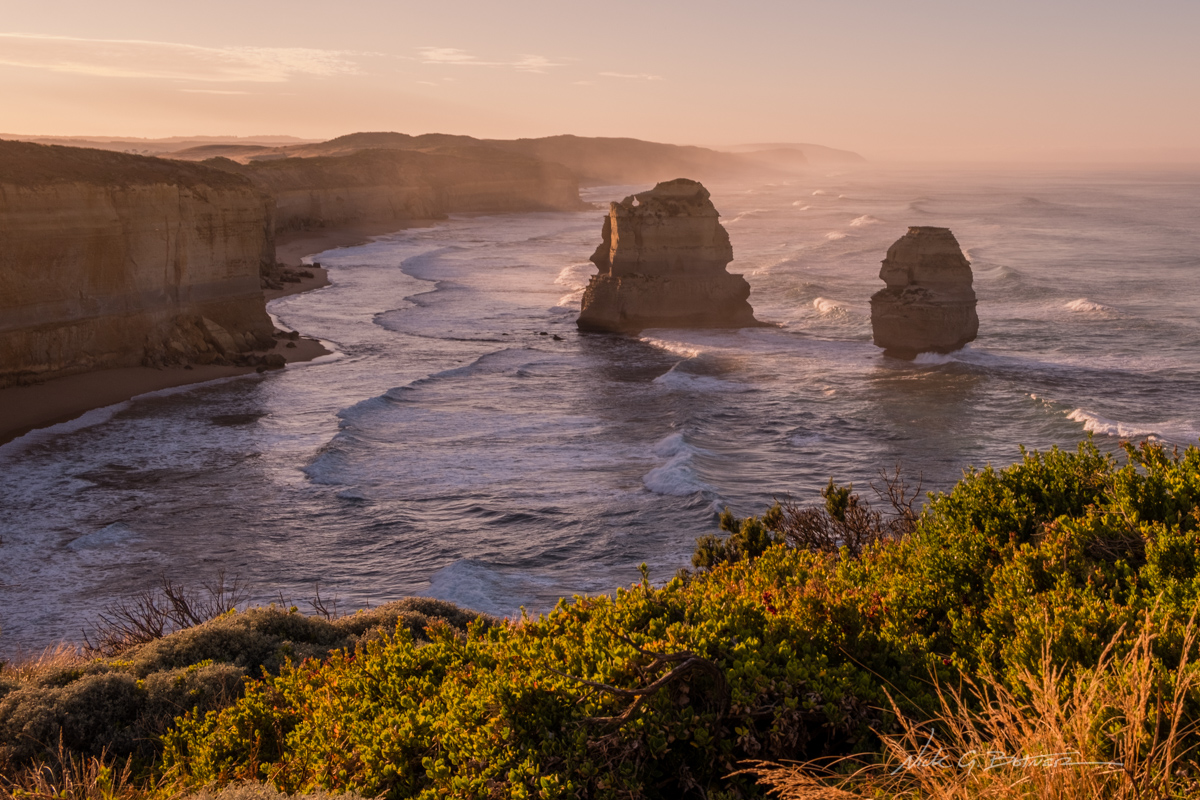
12 Apostles first viewing area looking West.
![]()
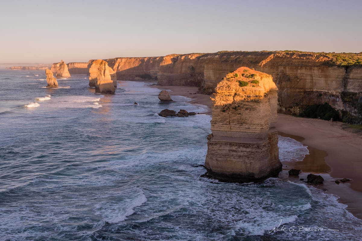
12 Apostles second viewing area looking West.
![]()
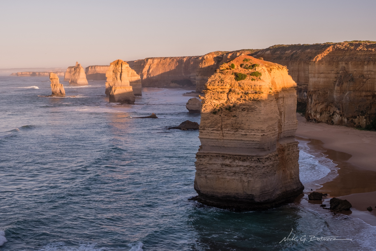
12 Apostles second viewing area looking West.
![]()
12 Apostles second viewing area looking East.
![]()
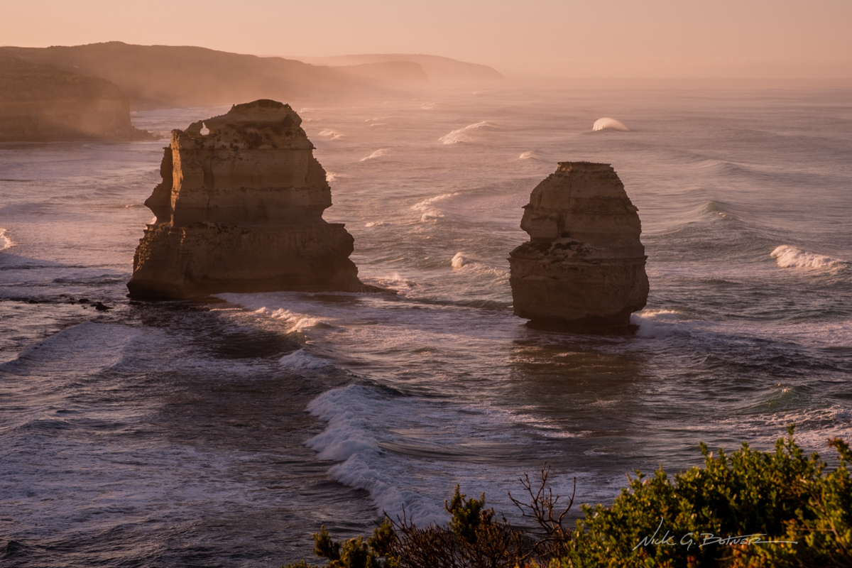
12 Apostles second viewing area looking East.
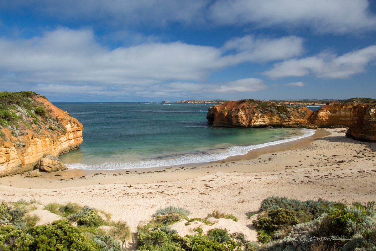
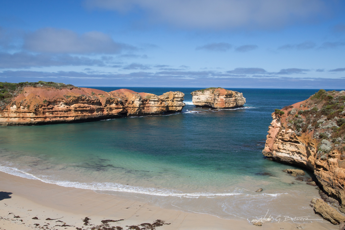
With the 12 Apostles checked off the Great List, we make our way to our next stop, Loch Ard Gorge.
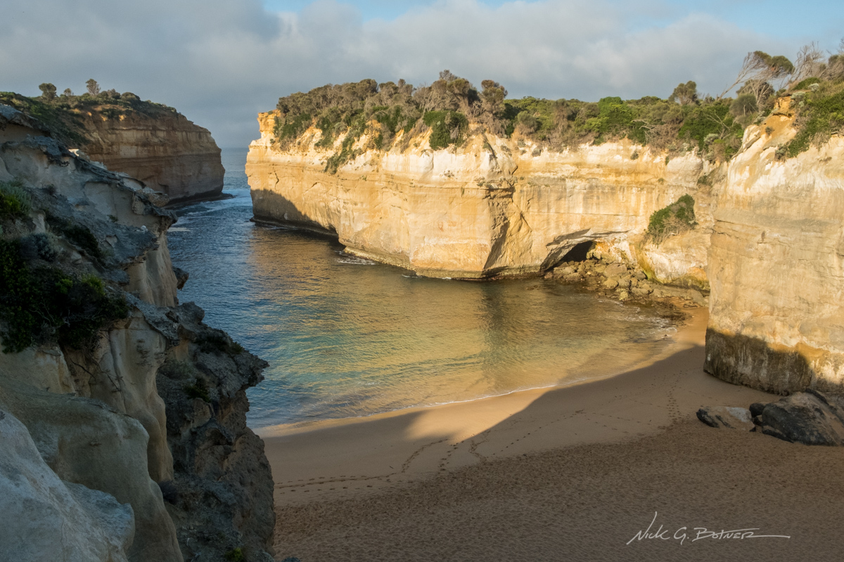
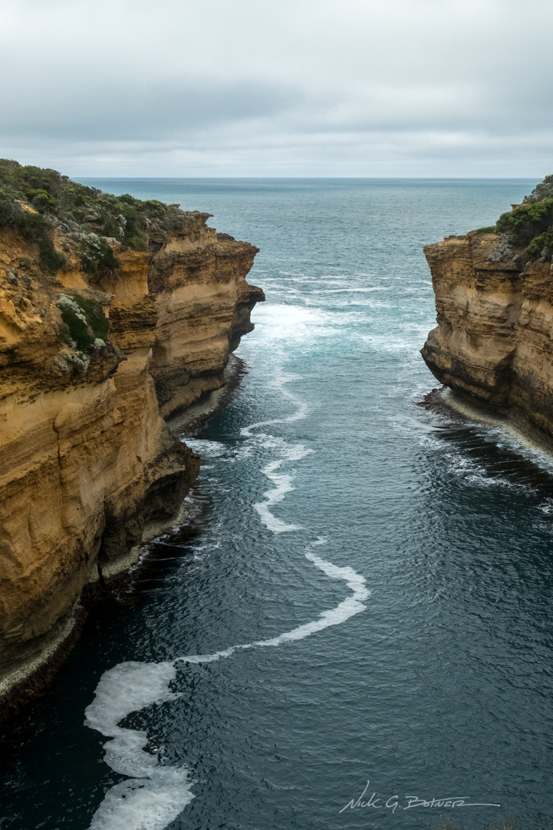
One of the main lookouts at Loch Ard Gorge
![]()
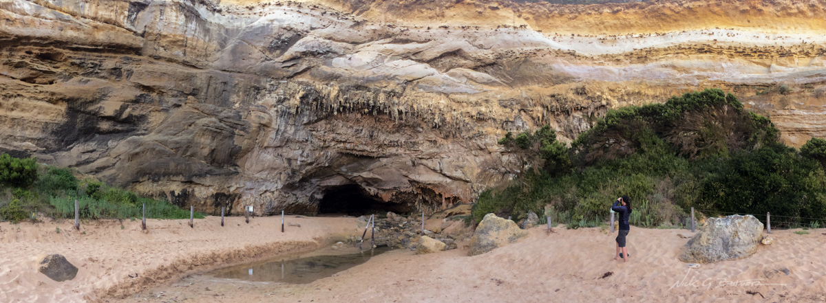
On the beach, you can view the cave formations at Loch Ard Gorge.
![]()
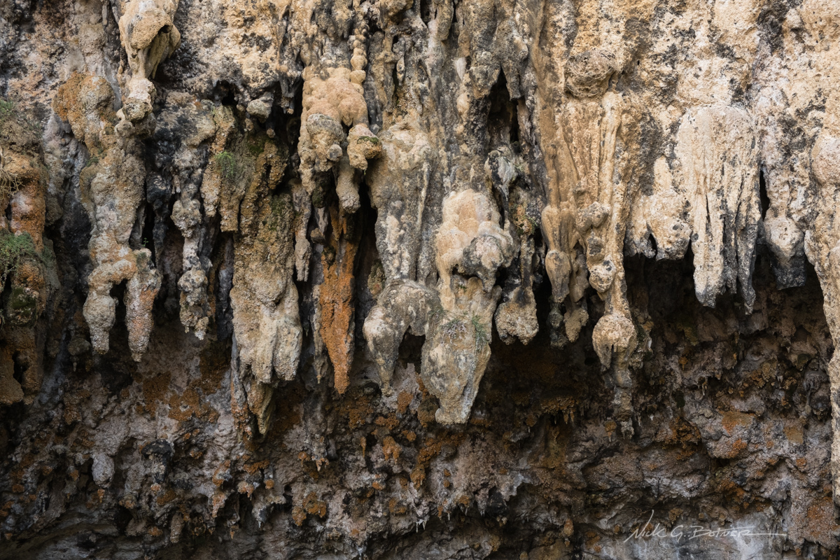
Closeup of the stalactites forming along the walls and caves.
![]()
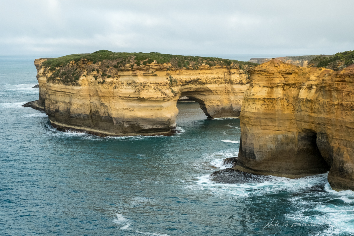
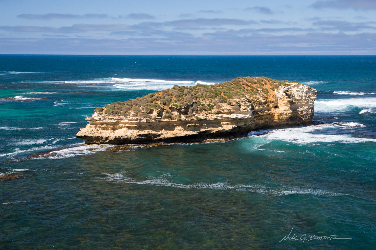
One of the many arches we will see today. This on is Mutton Bird Island.
![]()
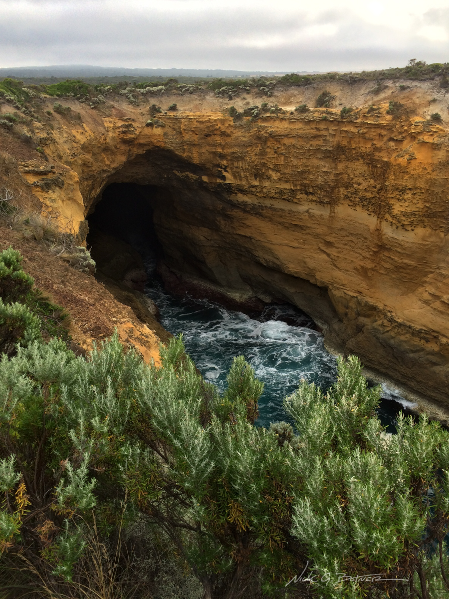
Closeup of Thunder Cove.
![]()
Thunder cove exiting to the sea.
![]()
Trail leading down to the beach.
![]()
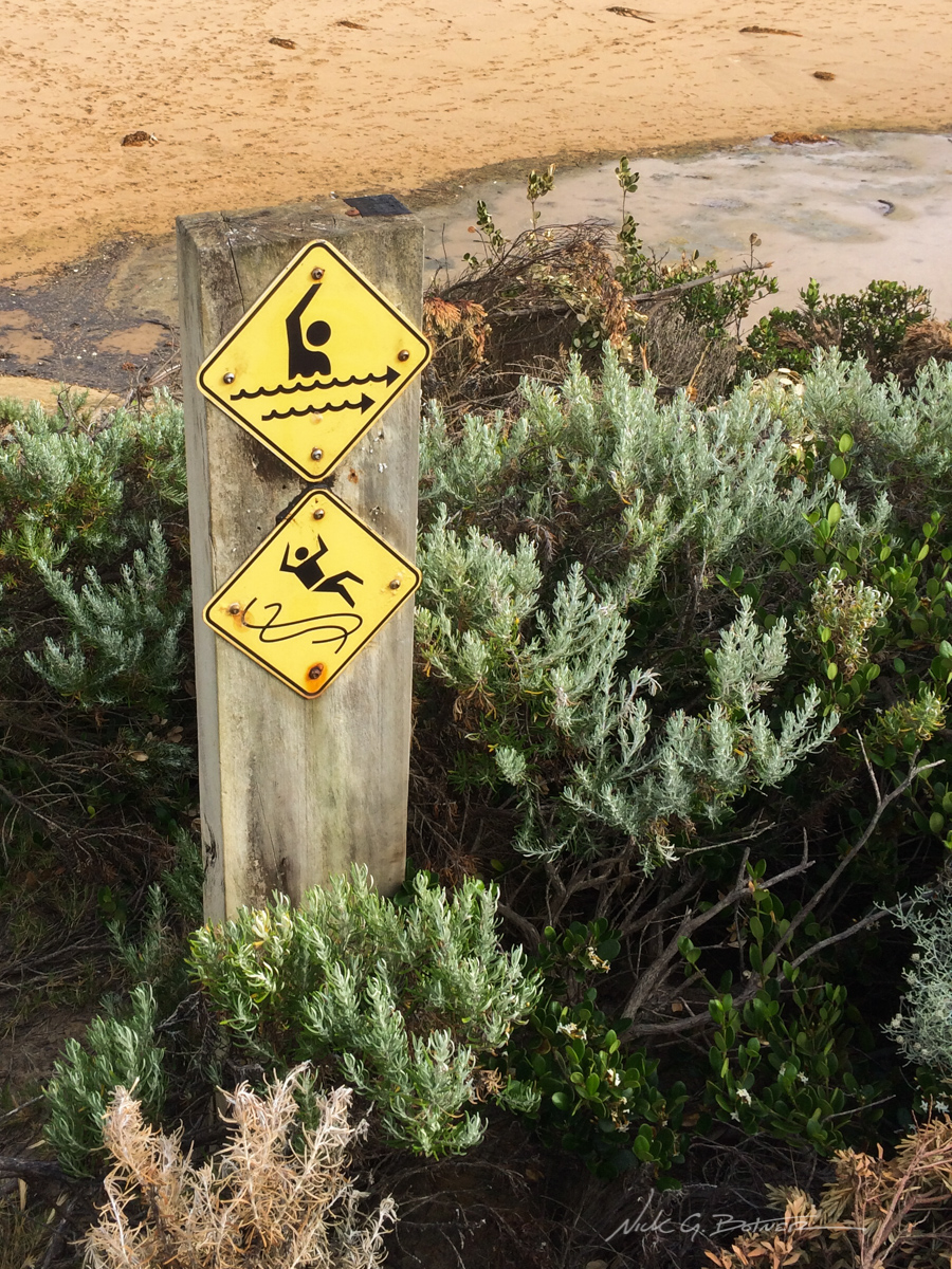
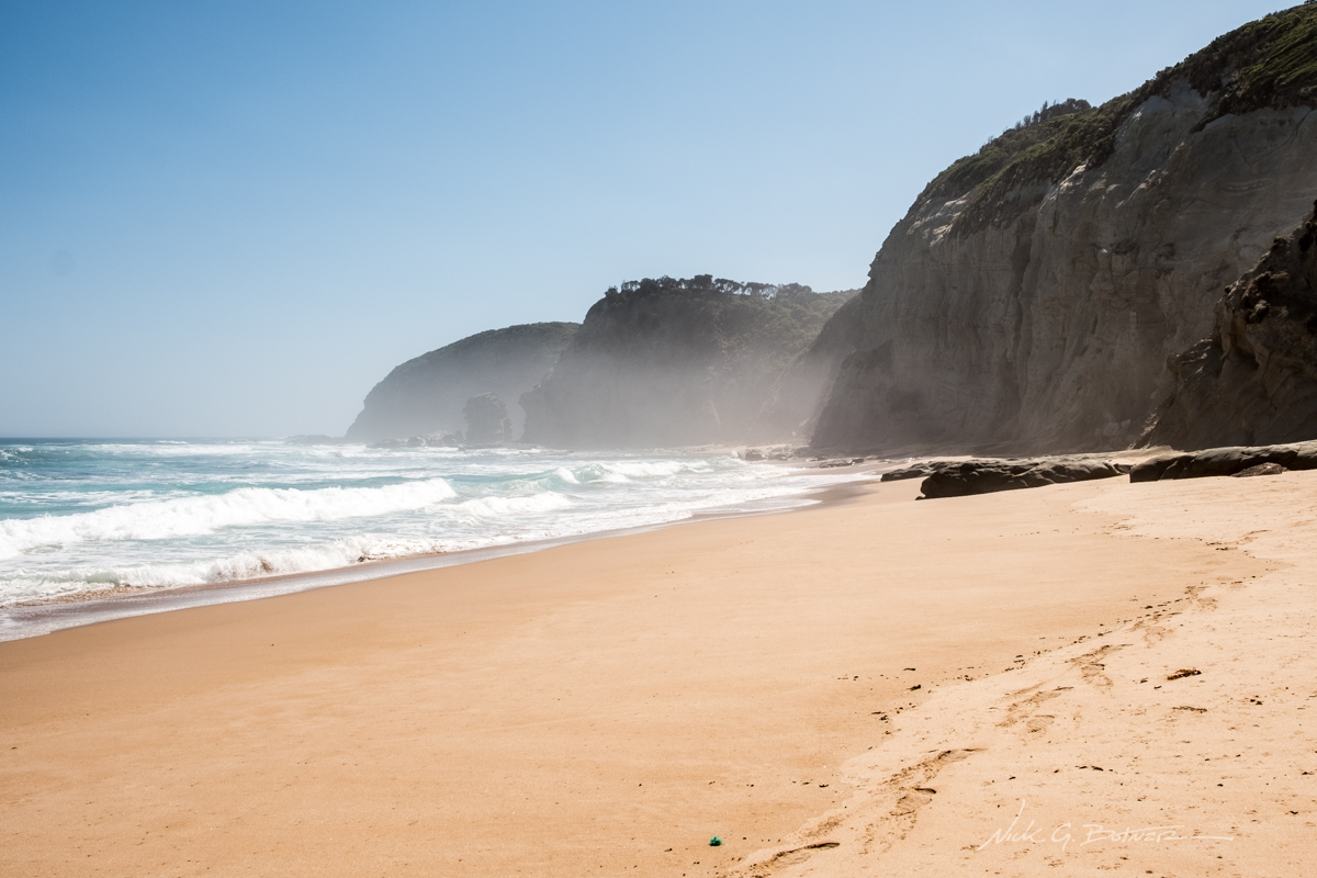
Maybe not the best beach for swimming…
![]()
A break in the clouds illuminates one of the sandstone monoliths.
We spent a good few hours exploring the Loch Ard Gorge area. Not only were we trying to wait out the cloud bank that came in, but also because it turned out to be a really beautiful area with many points of interest in such close proximity.
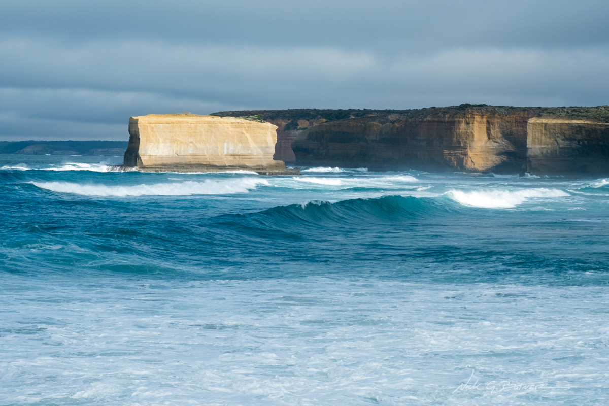
Up next, we headed further down the road to see the famous London Bridge.
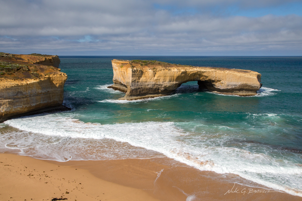
And here is the London Bridge. Previously, this was a double arch, but the arch to the left collapsed back in 1990 while two people were standing on it.
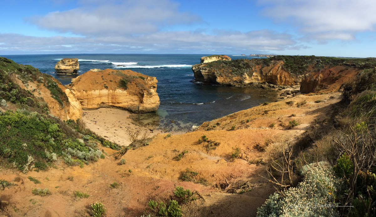
With London Bridge out of the way, we pressed on to our final sightseeing location, Bay of Islands Coastal Park.
A view of Worm Bay
![]()
Secluded coves can be seen from the Cliff Top Walk.
![]()
A view looking North from Halladale Point.
![]()
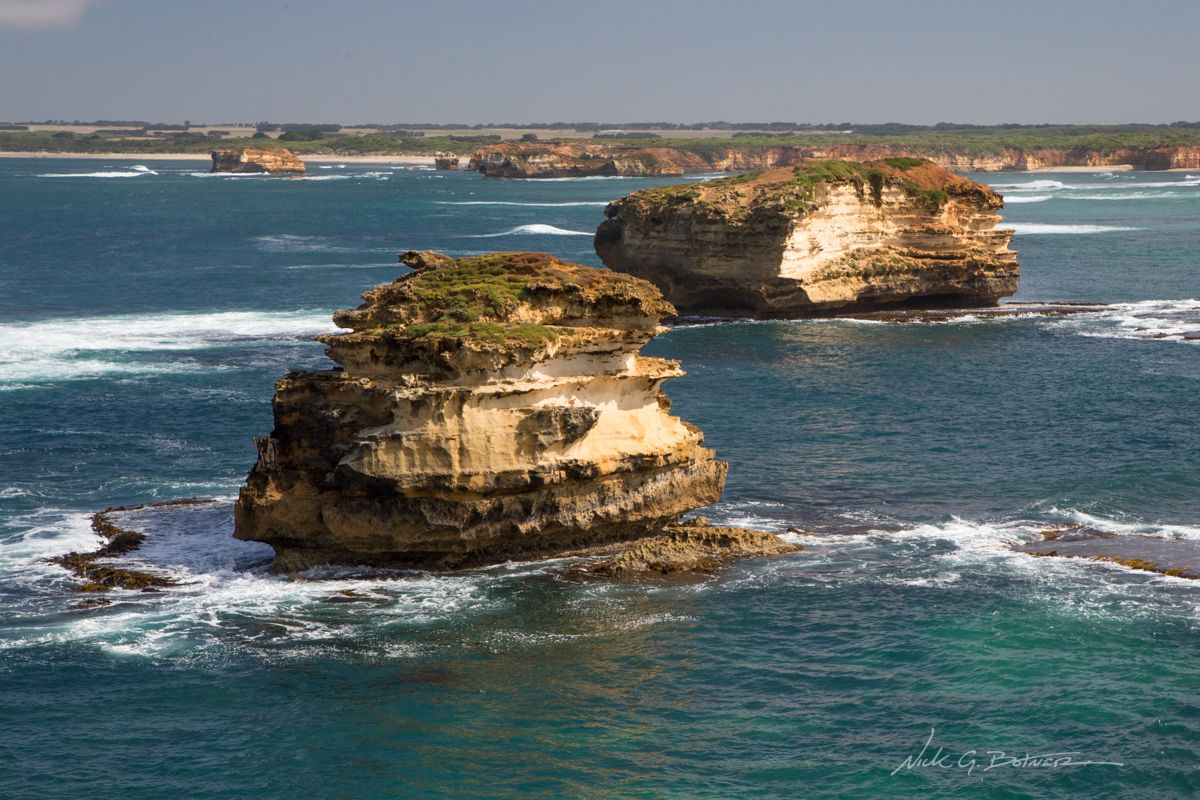
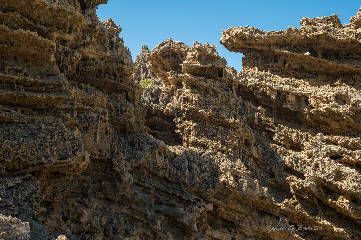
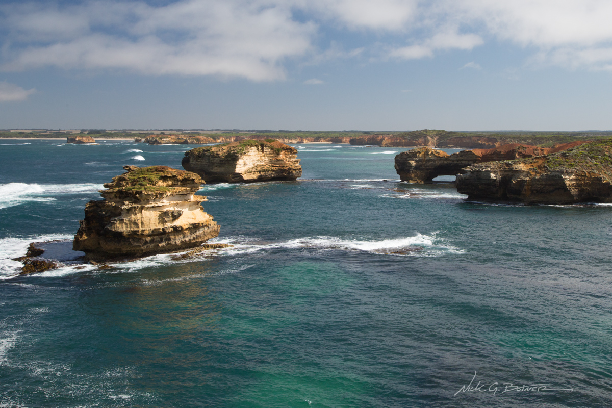
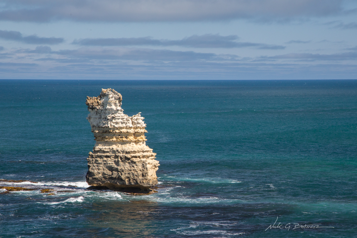
Closeup of the many sandstone monoliths.
![]()
Looking South from Halladale Point into the Bass Strait.
![]()
The Mighty isn’t so good at playing hide and seek.
![]()
Parting view of Worm Bay.
![]()
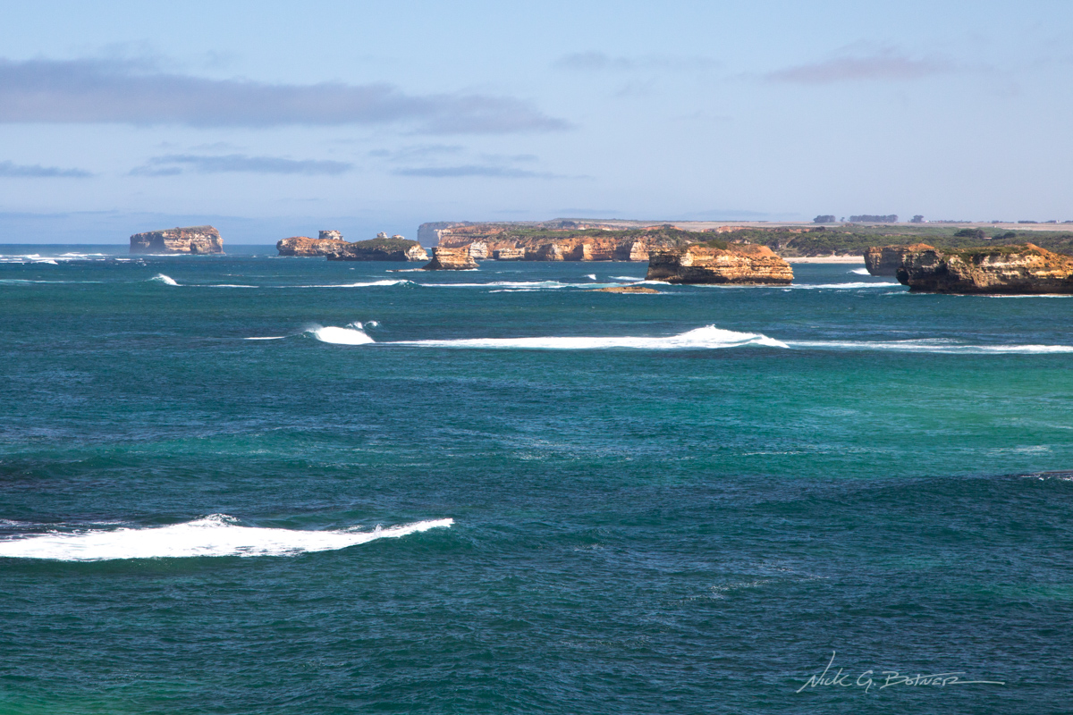
Bay of Islands Coastal Park.
![]()
One of many islands.
![]()
Interesting erosion patterns can be seen on the sandstone monoliths.
![]()
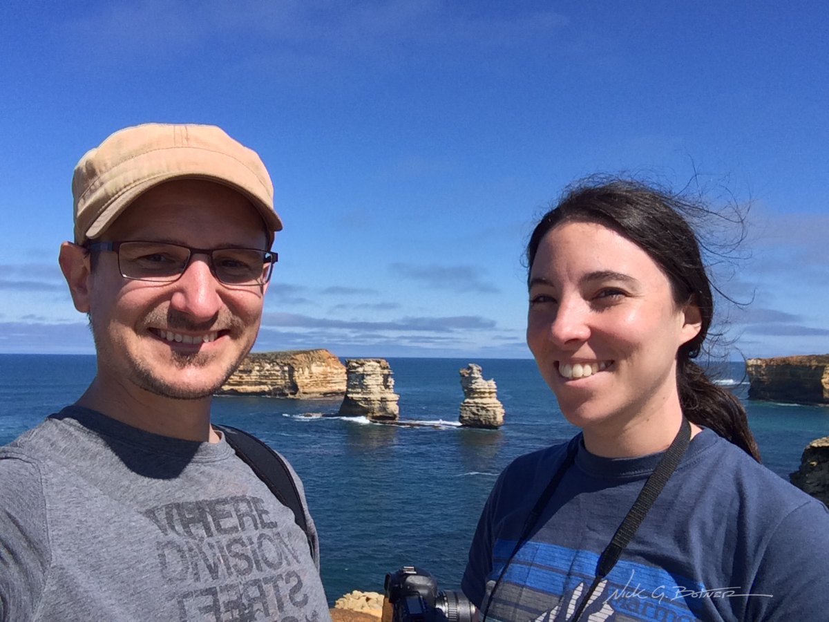
As a final goodbye, I forced Jen into a selfie with me at the lookout point. 🙂
From here we turned around, had lunch in Port Campbell, and then made our way several hours back up the road and got a spot at the lovely Marengo Holiday Park, just outside of Apollo Bay.
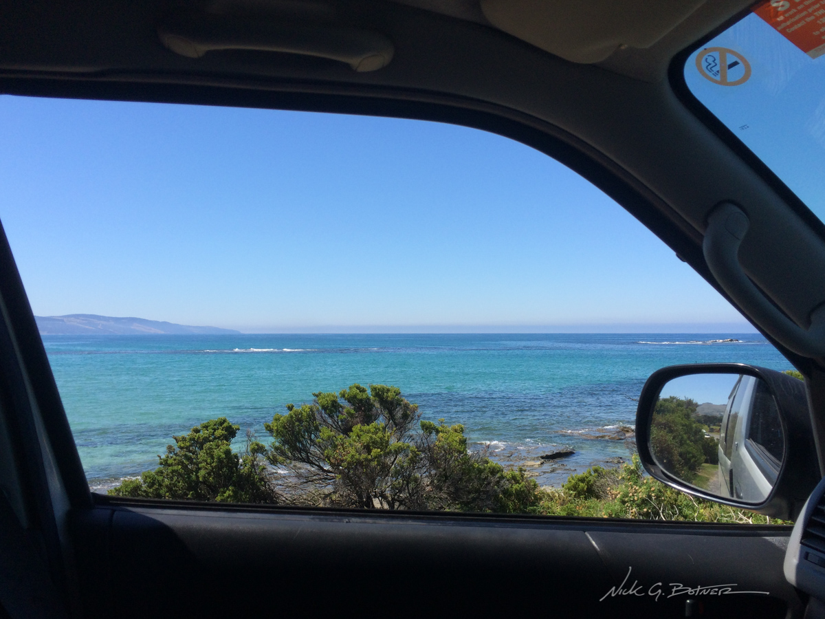
A view from the RV while we check in on our last night.
Out to the Blue Mountains
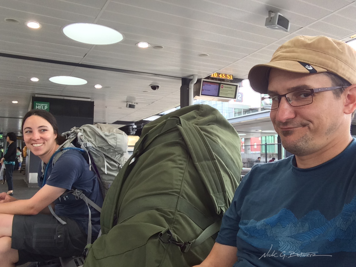
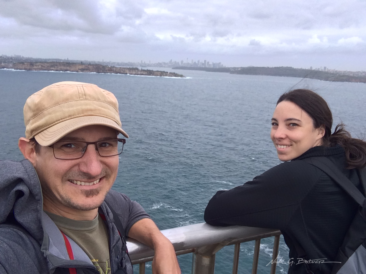
After a successful four days of driving the Great Ocean Road, it was time to turn in the Toyota, hail an Uber to the Melbourne Airport, catch a plane up to Sydney, spend the night in Woolloomooloo, wake up early, hail an Uber to the train station and catch a two hour train ride out to Katoomba for several backpacking trips in the Blue Mountains!
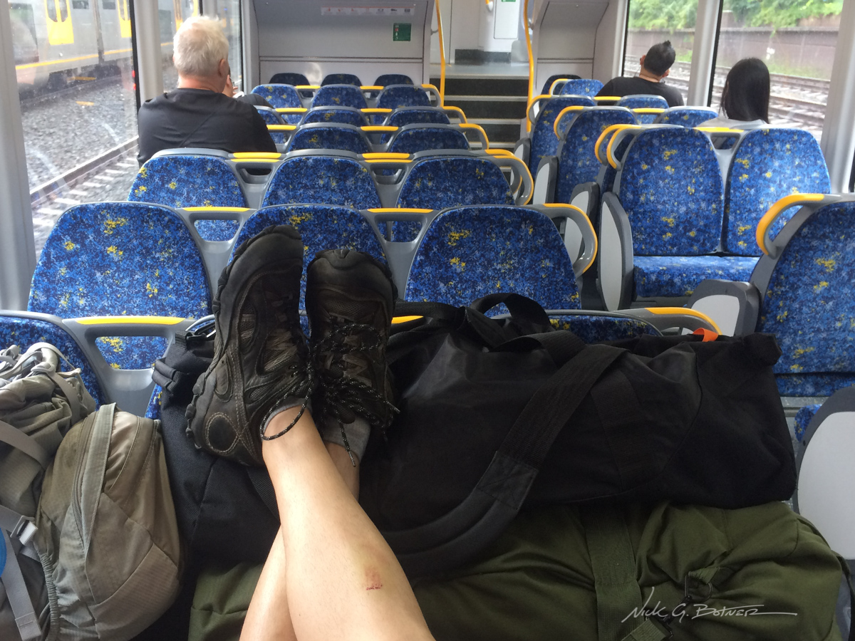
All our stuff takes up a lot of space on the train. Thankfully it’s not that busy.
![]()
This is the face you make when you figure out you stayed on the train too long and have to backtrack, thus adding an extra hour and a half to your two hour train ride.
![]()
Backpacking the Blue Mountains, Katoomba, New South Wales
So, the weather went to shit on us. We made it out to the mountains, checked into the hostel, stored our travel bags and started a three day backpacking adventure, in the rain.
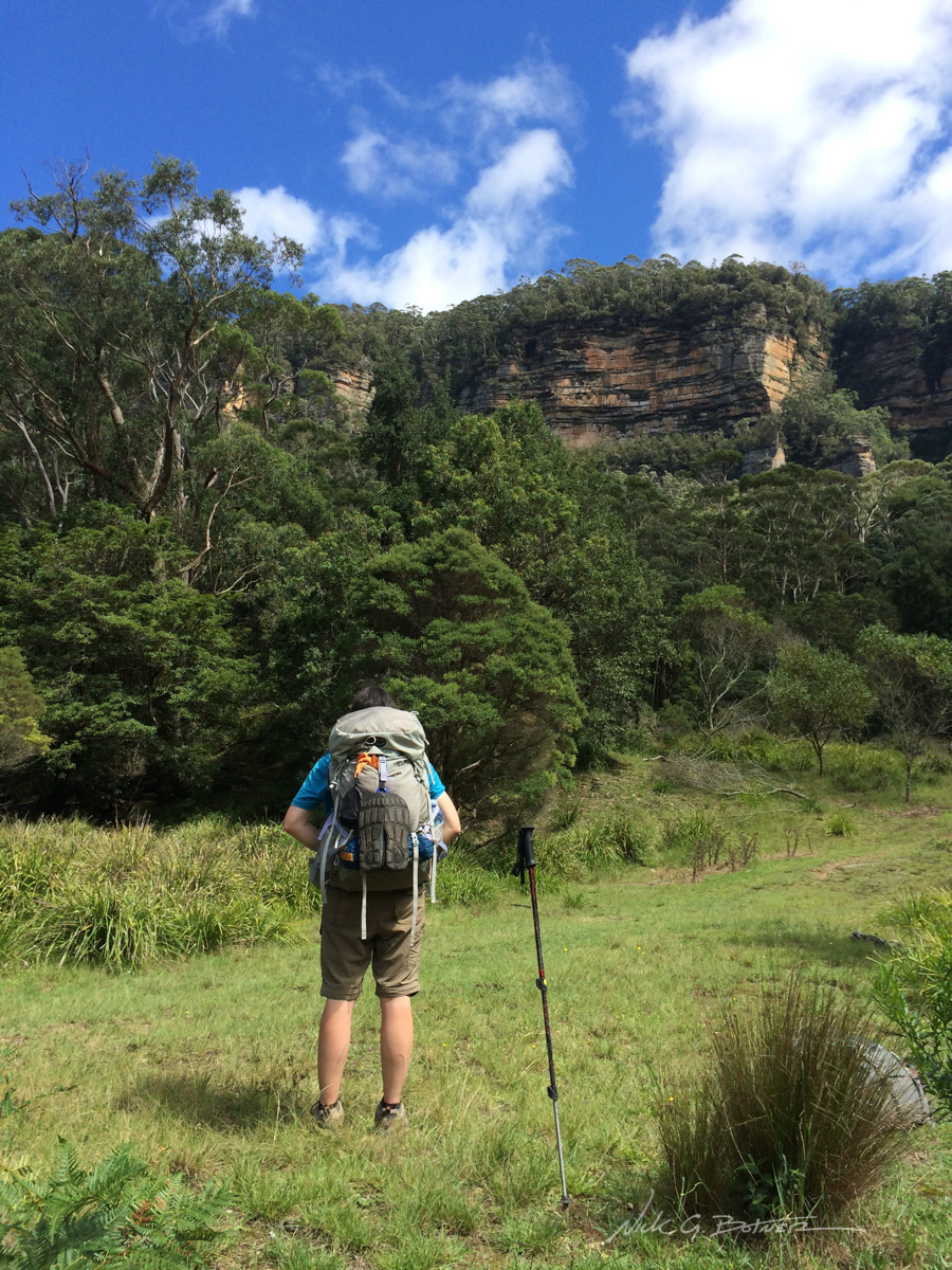
For this trip, we were doing the Mount Solitary Circuit. It’s over 30km/19mi and 2,863m/9,400ft of elevation gain. In the Blue Mountains, you start on the top, and then make your way down into the valleys. For our trip, we were going down, then up, then down, then up.
Originally I had planned on filming the whole thing. But the weather was so bad on the first day, I didn’t even bother taking out the video camera. I did however film the next two days which I will post here once it’s done.
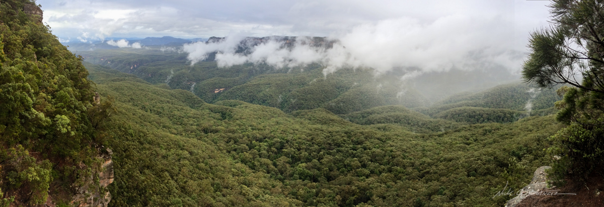
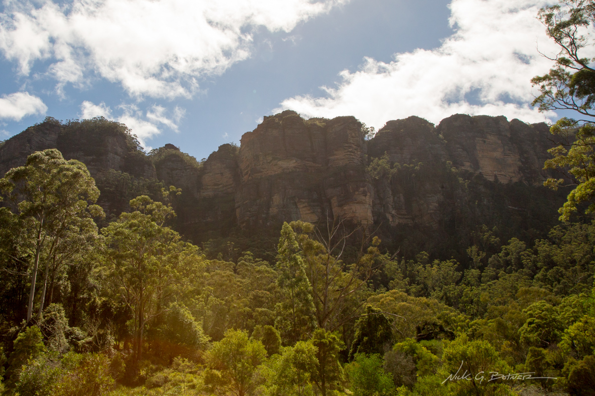
We started our descent into the Blue Mountains at the site of Scenic World. Which boasts many great views of the surrounding area. All we could see were rain clouds. We did, however, see our first Lyrebird. This was one of the birds on our list, unfortunately it was a bit soaking wet and not too eager to be on display.
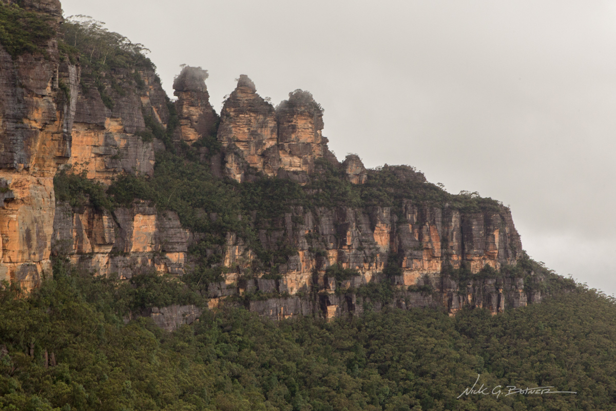
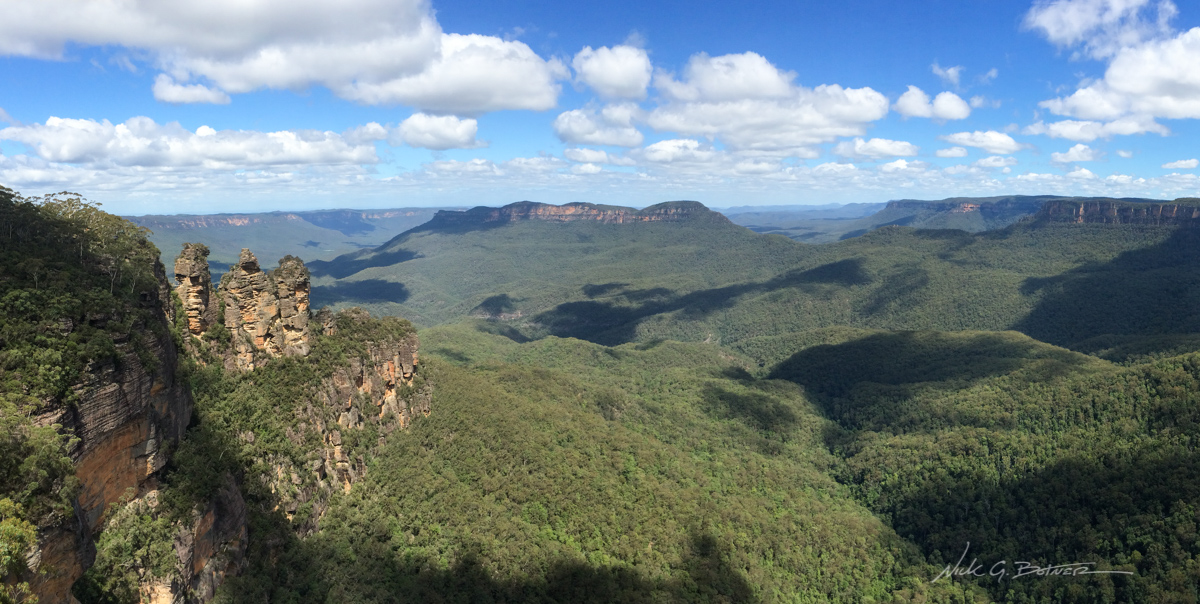
The clouds backed off a bit so we could get our first look at the Three Sisters.
![]()
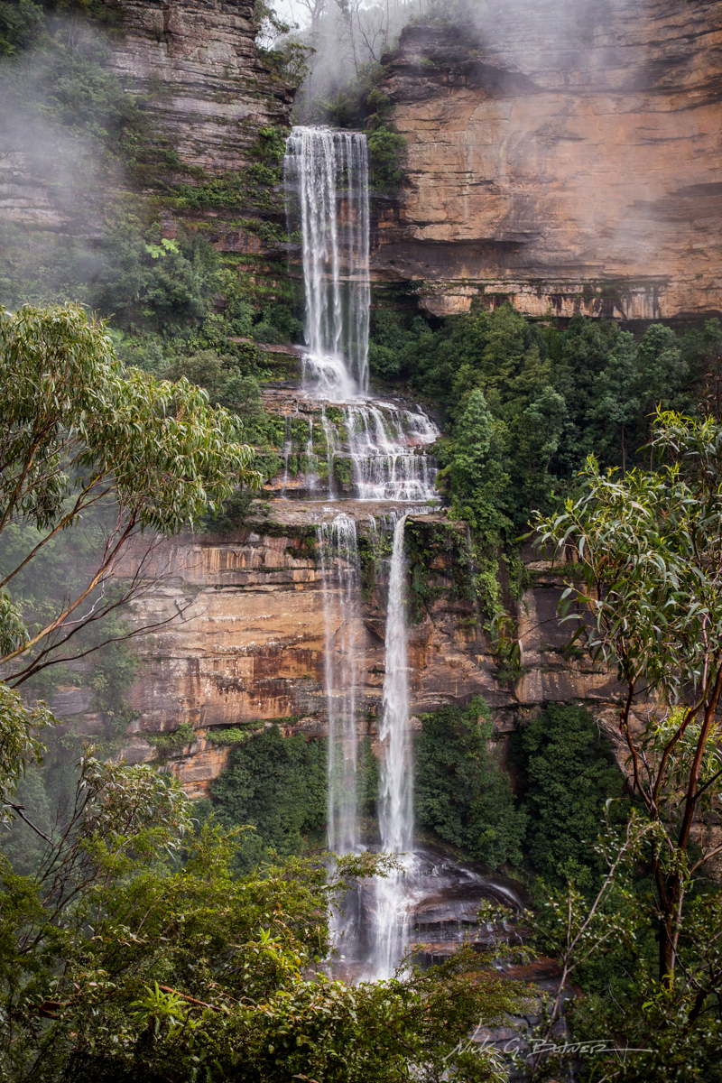
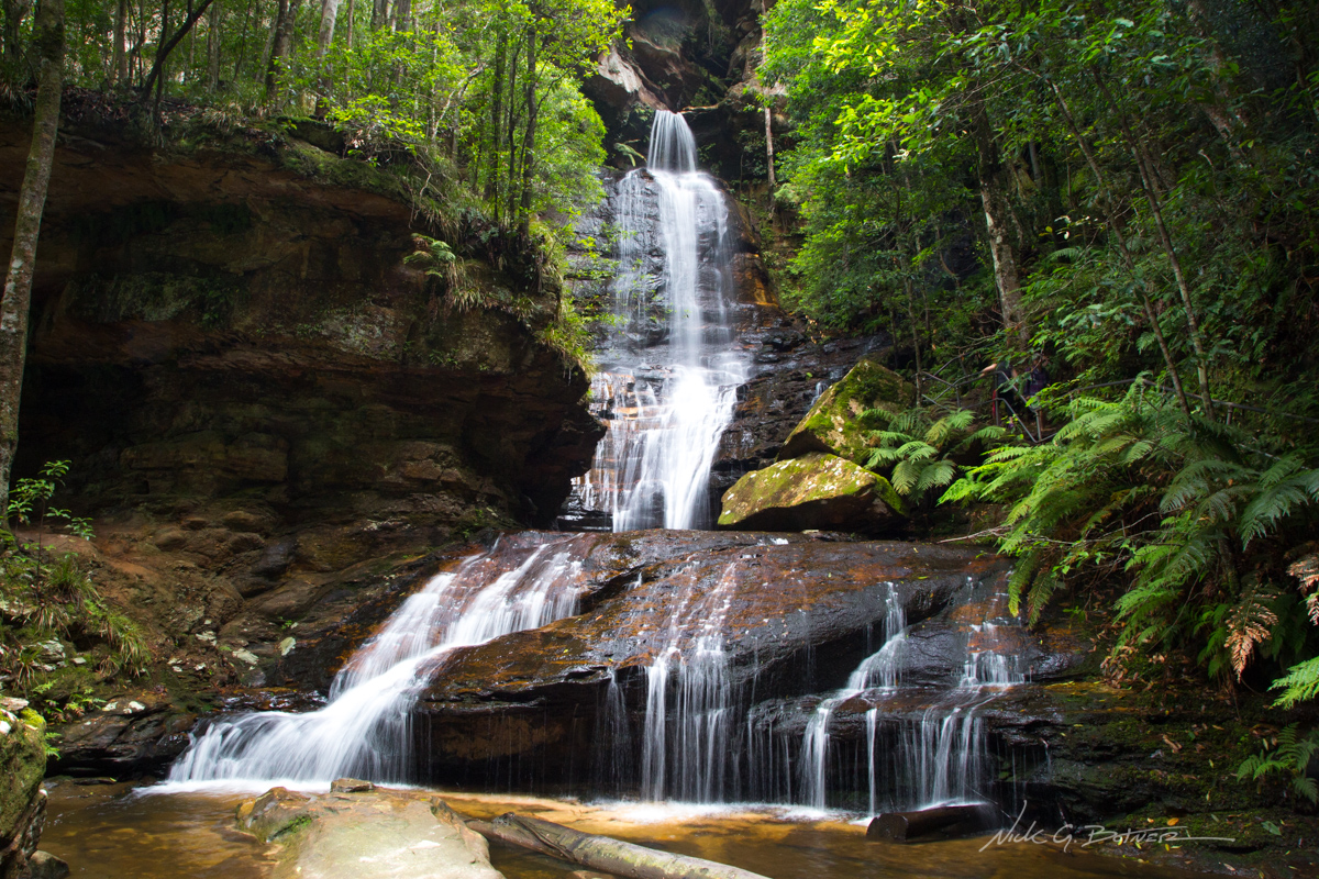
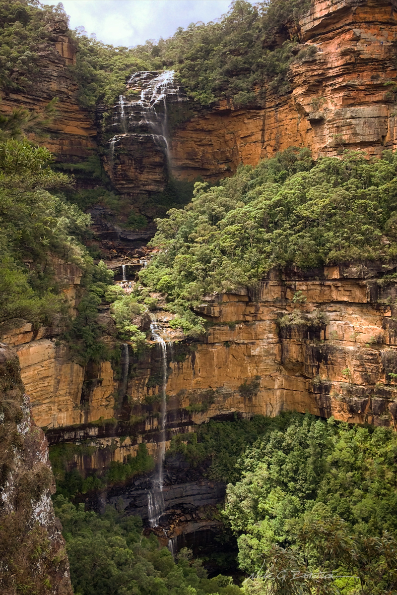
Katoomba falls also came into view, but only for a brief moment.
![]()
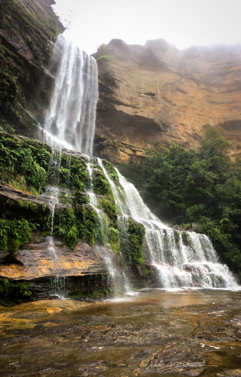
At the viewpoint for upper Katoomba Falls.
From this point the rain really came down. And I mean it was monsooning on us it was so bad. We got so wet that every fiber of clothes we were wearing was soaked. Thankfully our bags had rain covers and our clothes were in dry sacs. Something we learned in Patagonia.
At one point, I was so focused on where I was stepping, I walked directly into an overhanging tree with the top of my head. Thankfully, I wasn’t knocked out. But I was dropped to the ground and cursing the pain. Shortly after I managed to slip on a rock and catch myself thus scraping up my hand. To say the least, I was not happy.
Further down the trail the leeches came out…in force. We were blasting through the forest and stopping every few minutes to knock off the leeches from our shoes. Hoping we got them all. We did not get them all.
Determined to not give up and take and exit trail, we cut our first day half short and made camp at a newly outfitted site with rain cover over picnic benches and rain cisterns. We were supposed to hike 10km, we made it roughly 5km.
We strung our clothes up to dry, they didn’t dry, and Jen managed to shake three fully blood-engorged leeches from inside her pants. Me, feeling the need to do some math, practiced my division tables on those fat bastards.
The next morning, in between rain sprinkles, we broke camp and hit the trail…in only semi wet clothes. Our next major objective was to summit Mt Solitary.
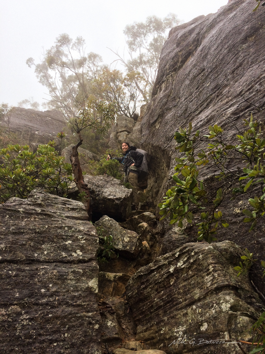
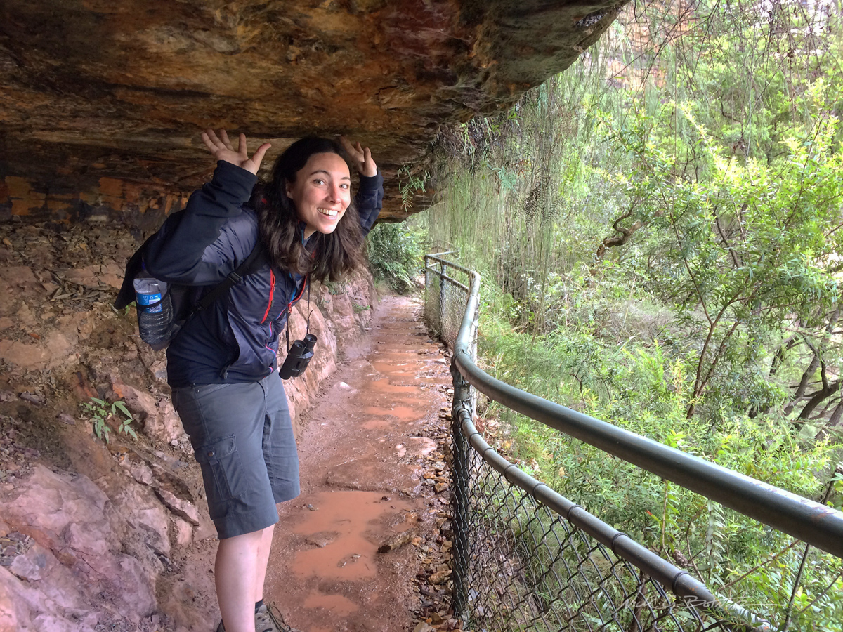
When you approach Mt Solitary, you have to first scramble the formidable Korowall knife edge.
![]()
The rain held off on our approach to the summit of Solitary.
![]()
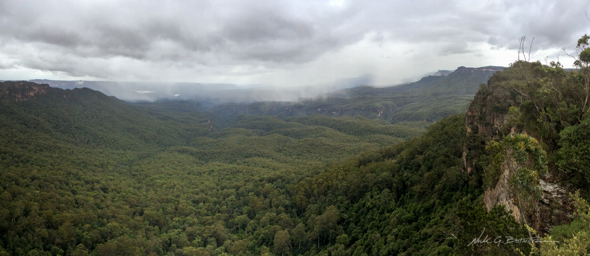
But not for long, we could see the next wave of rain coming right for us.
By now I have started to attempt to film our adventure. But we were a little rushed as I wanted us to make the steep descent off of Solitary in as little rain as possible. It was not possible.
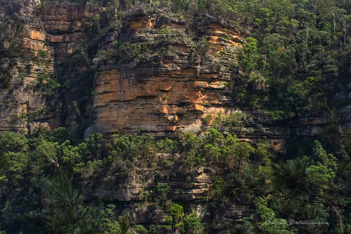
A view looking back at Mt Solitary, still simmering from the storms.
By this point we had hiked 12km and decided to make camp at Jamieson Creek. The next site, the one we were supposed to stay at, was another 4km away and our feet were done. They were so wet that we were beginning to worry about rot and cracking of skin. So we made camp, killed leeches, hung clothes to dry, realized we left all our tent stakes behind at the last site, gathered hardwood, fashioned new stakes out of said hardwood, set up camp, sat in our camp chairs, ate as much food as possible and passed out reading our bird book.
The next morning was glorious. With blue skies and a crisp smell of eucalyptus in the air, we ate breakfast, broke camp, walked barefoot down the trail, forged the creek, put on our almost dry socks and shoes and made way for the Three Sisters.
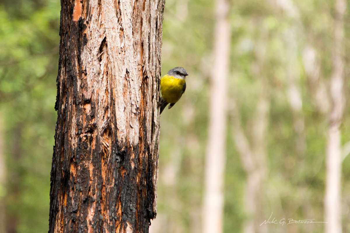
Momentarily distracted by a few yellow robins
![]()
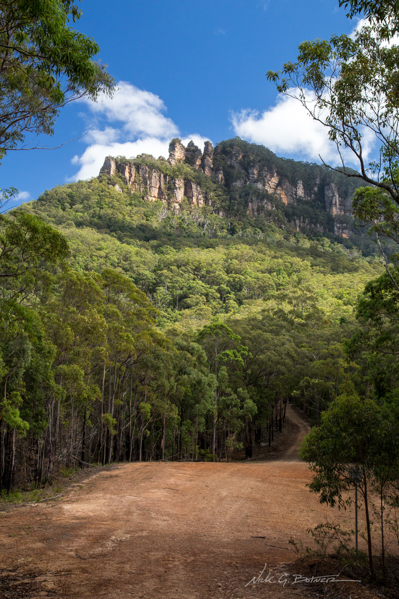
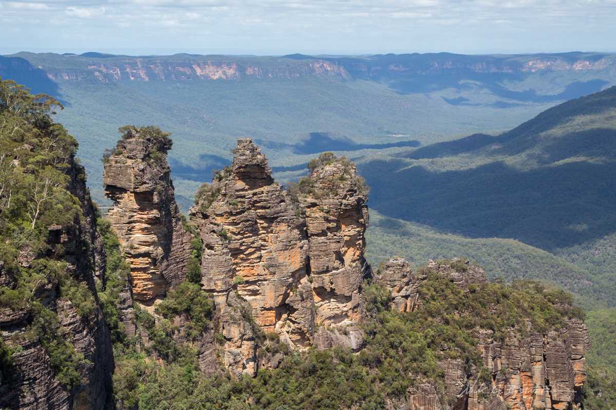
Three Sisters come into view as we make our way down the park road.
![]()
The clouds parted long enough for me to get a decent shot.
From here you can see where we will need to end up. And that’s almost on top of the far right spire. Thankfully there is staircase “The Great Staircase” that will take you up that cliff wall and through to the other side.
![]()
Following along the wall waiting for our trail to tack inwards and switchback towards the staircase.
![]()
Jen surveys her domain as I put on sunblock.
From here we made our way back into the forest and followed the trail along the base of the cliff wall. It was evident that we were getting close to the staircase as the number of people we saw on the trail went from zero to all-over-the-place. What was really entertaining was waiting at the bottom of the staircase and talking with the people who had just unwittingly descended into a world of leg burning pain. I took particular delight in telling them they either had to go right back up it, or walk a few kilometers and then go up a different staircase. 🙂
Of course Jen and I were in for our own world of pain. Almost 1,000 (uneven) stairs with roughly 28lbs on your back does not make for a carefree ascent. Take that and throw in a constant flow of people descending and you have two very stinky, out of breath, and life hating people on your hands. 😀
But, we prevailed, and made our way to the top.
![]()
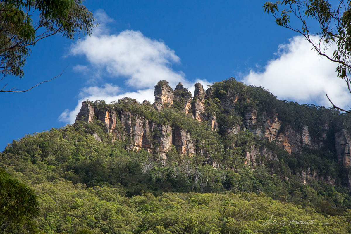
Looking back at Three Sisters after ascending the Great Staircase.
![]()
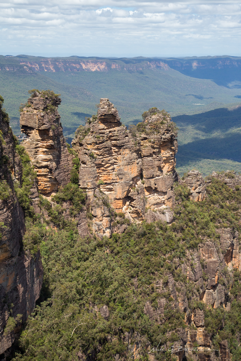
Closer inspection of Three Sisters and you can see Honeymoon Lookout on the left spire.
![]()
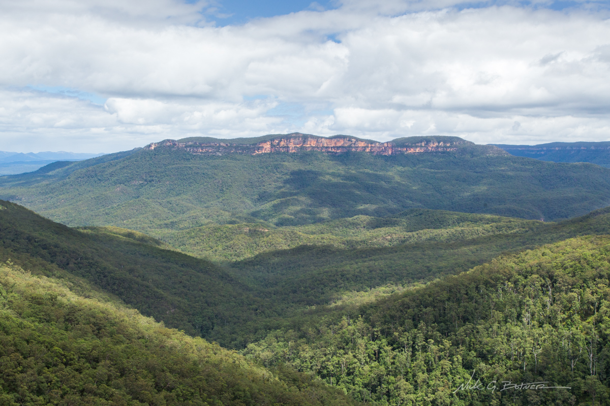
Full view with Mt Solitary in the center.
![]()
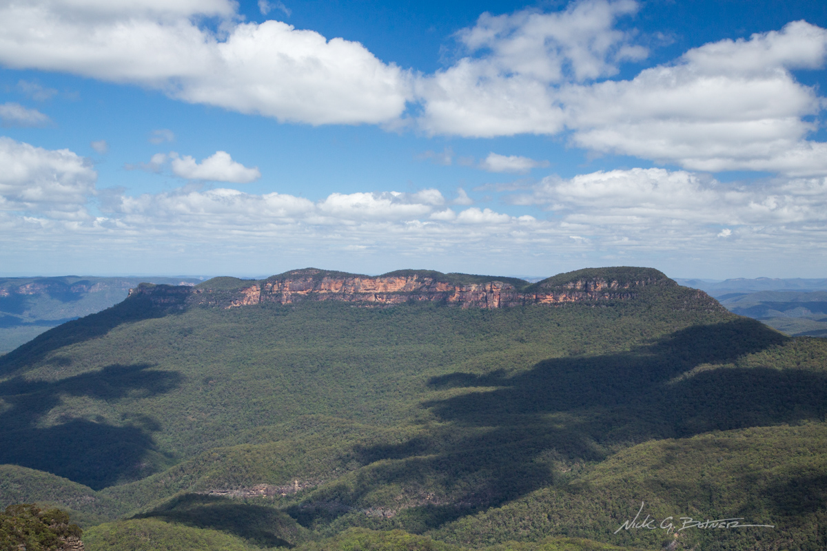
Closeup of Mt Solitary.
![]()
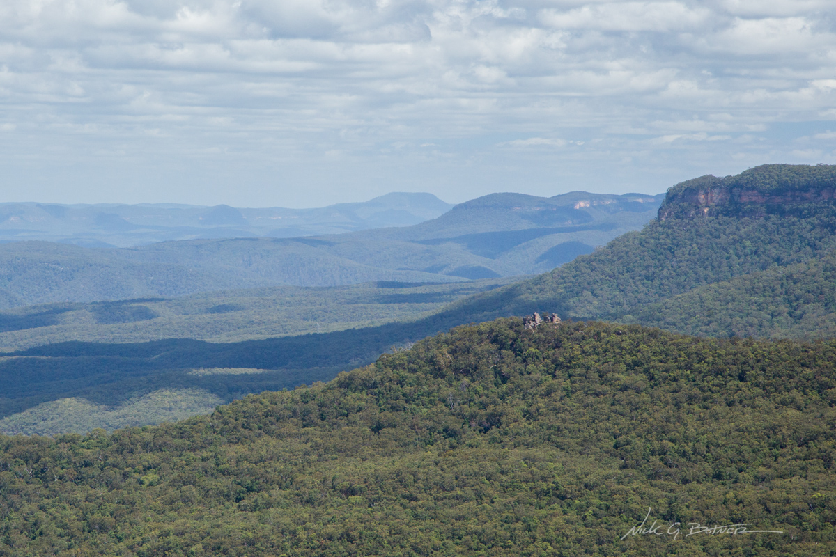
Closeup of Ruined Castle (clump of rocks on top of the hill). Below this is where we stayed the first night.
At this point, once you’ve seen a few of the lookouts, and you’ve seen the Three Sisters, a lot of the extra lookouts all start to look the same…just from slightly different angles. So having seen most of the lookouts, and having to still hike a few kilometers back to the hostel, we passed on going all the way back to Scenic World and opted to shave off a couple kilometers and take a more direct path back to the town center in Katoomba.
![]()
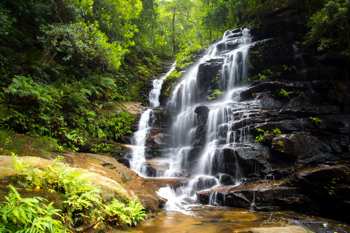
I of course couldn’t help but sneak down (stairs) and take a photo of Upper Katoomba Falls while Jen patiently waited proclaiming she was done with any unnecessary stairs for the day.
![]()
National Pass, Wentworth Falls, Blue Mountains National Park
The next day, Jen and I were supposed to head out on another three day backpacking trip. However the forecast was for only one day of sunshine and three days of rain. With Jen finally catching whatever kind of cold I had and not wanting to be on the trail soaking wet, we opted to hike the National Pass at Wentworth Falls instead. And boy were we glad we did.
If you don’t like waterfalls and stairs. Then there’s really no point for you to be in the Blue Mountains. 😉
We started our hike from the Conservation Hut and hiked east towards Wentworth Falls.
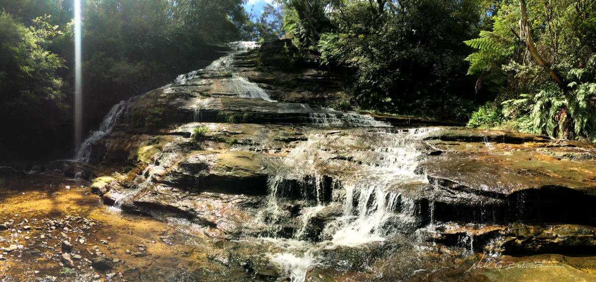
Empress Falls, while not as big as Wentworth, is beautiful in her own right.
![]()
Lower Empress Falls
![]()
The National Pass follows the middle tier of this cliff wall.
![]()
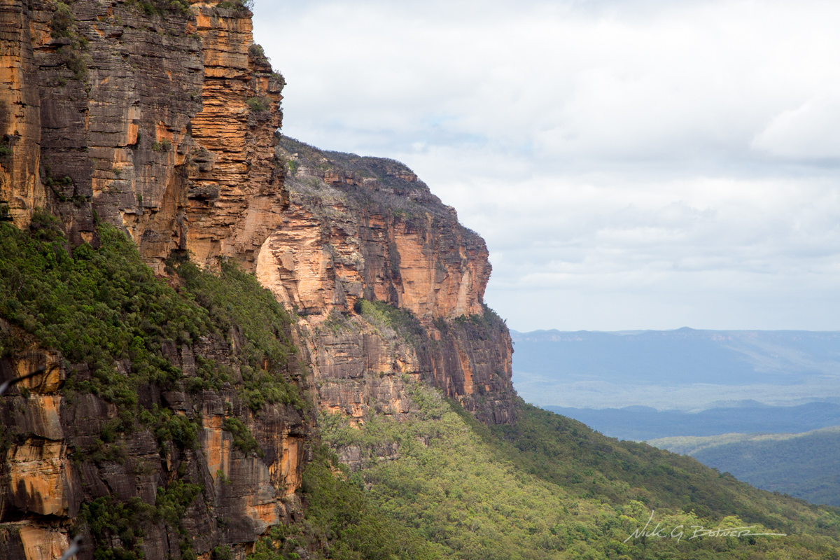
Beautiful view of Mt Solitary. From here you can get a good angle and see the slight prominence in the middle.
![]()
Closeup of an opposing wall.
![]()
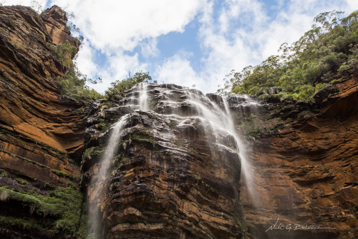
Wentworth Falls as seen from one of the lookouts along the National Pass
![]()
Some parts of the track are not for tall people.
![]()
Below Wentworth Falls
![]()
Upper Wentworth Falls
![]()
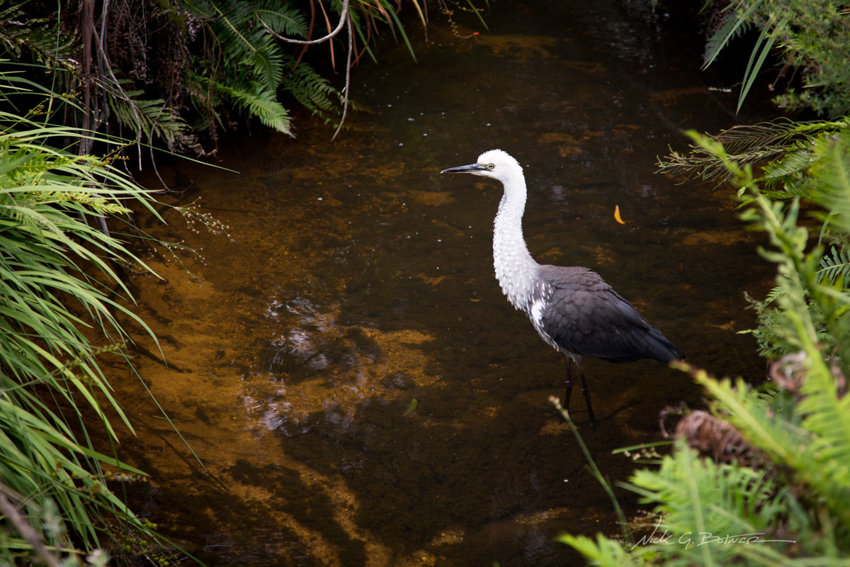
White-necked or Pacific Heron hunting for food.
And this wrapped up our time in the Blue Mountains. Jen and I decided to bail on our last couple days (due to rain) and book two extra days in front of our upcoming trip to the old Quarantine station, and boy were we glad we did so.
![]()
Quarantine Station / North Head / Manly Beach, New South Wales
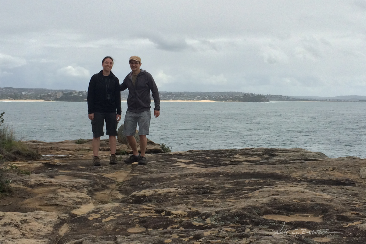
The photos that follow are from our last few days in Australia. We took it pretty easy spending lots of time eating and drinking at the local breweries and sneaking in hikes where we could. The weather swayed from stormy to sunny on any given day. So there is no real connection between photos, just some highlights from our final days.
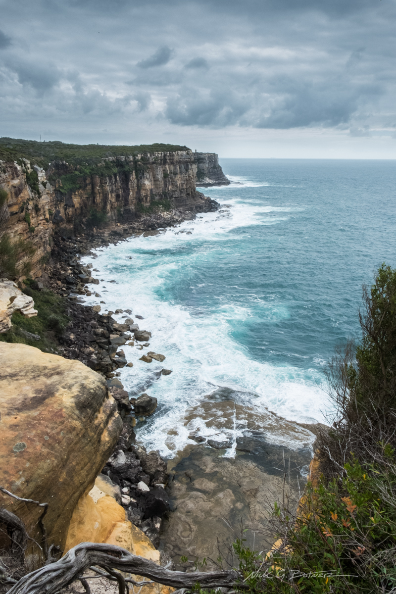
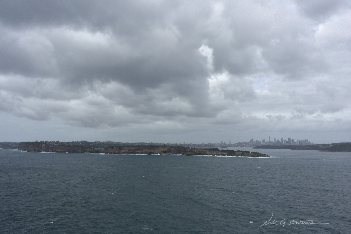
A stormy North Head.
![]()
Looking back at Sydney from Fairfax Lookout on North Head.
![]()
Watching the breakers smash at Hornby Lighthouse.
![]()
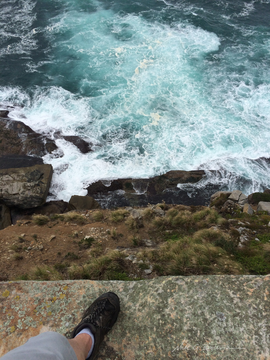
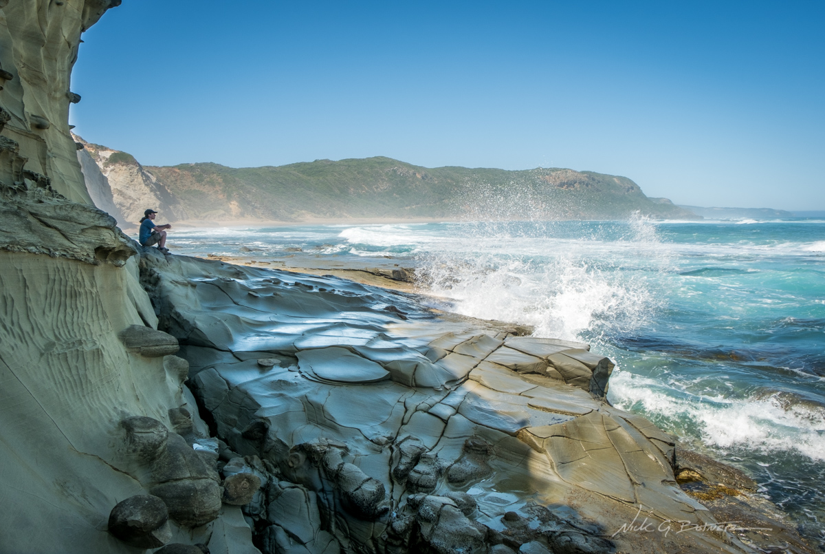
The frothy edge.
![]()
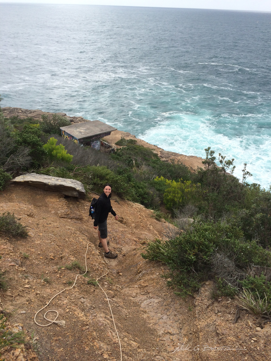
Blue Fish Point. What a pain in the butt to hike there.
![]()
Manly Beach in the background, taken from Blue Fish Point.
![]()
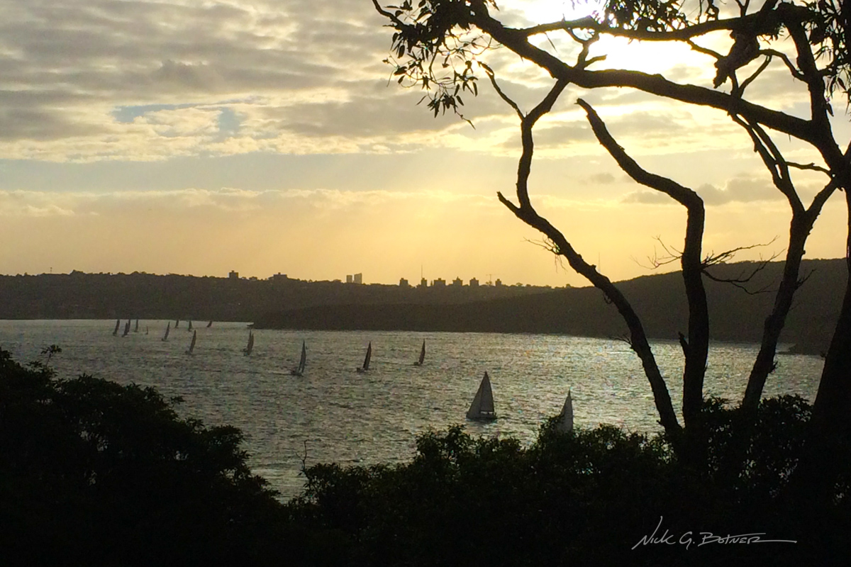
The local regatta setting out at sunset. Taken from our balcony at the Quarantine Station.
![]()
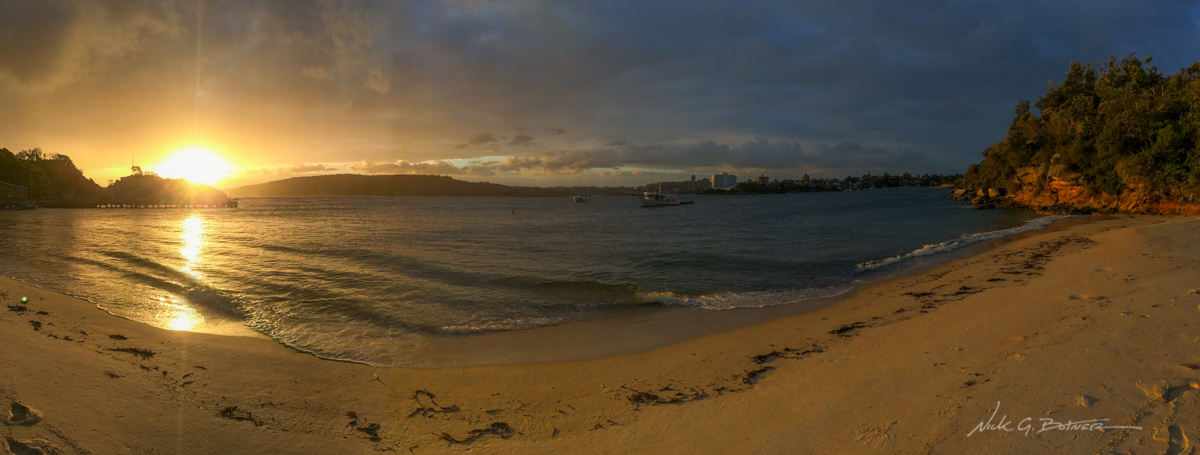
Quarantine Beach at sunset.
![]()
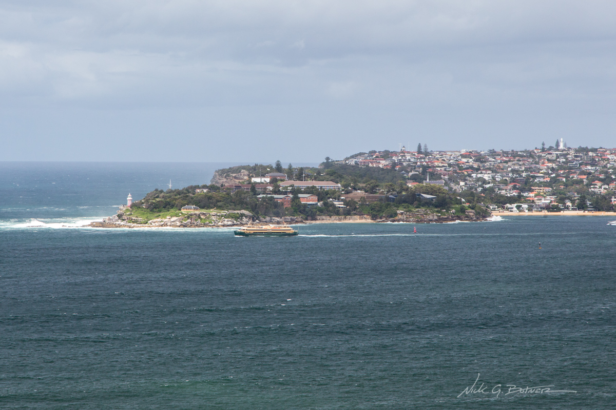
Ferry passing Hornby Lighthouse on its way to Manly Beach.
![]()
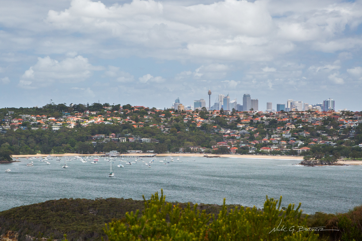
Downtown Sydney looking beautiful.
![]()
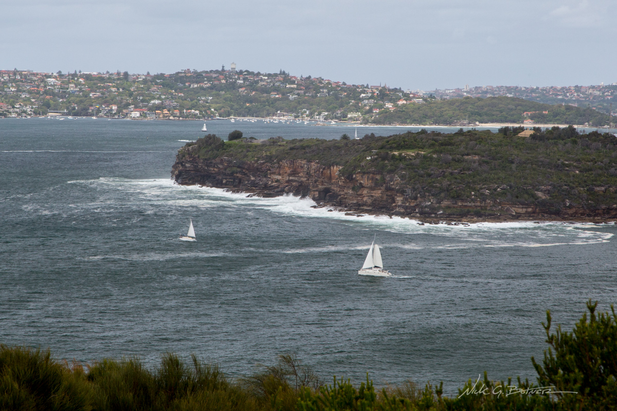
Sailboats navigating swells in the cut.
![]()
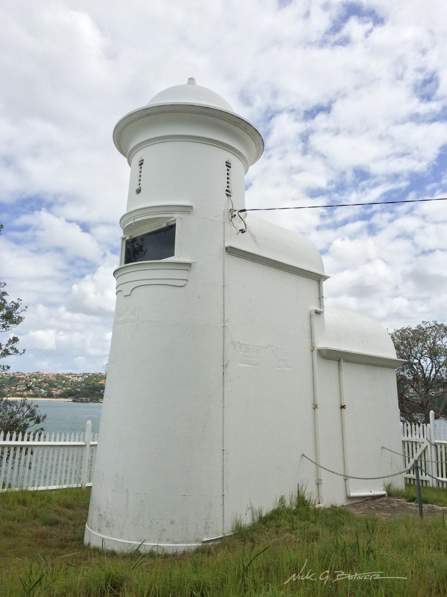
Grotto Point “Lighthouse”.
![]()
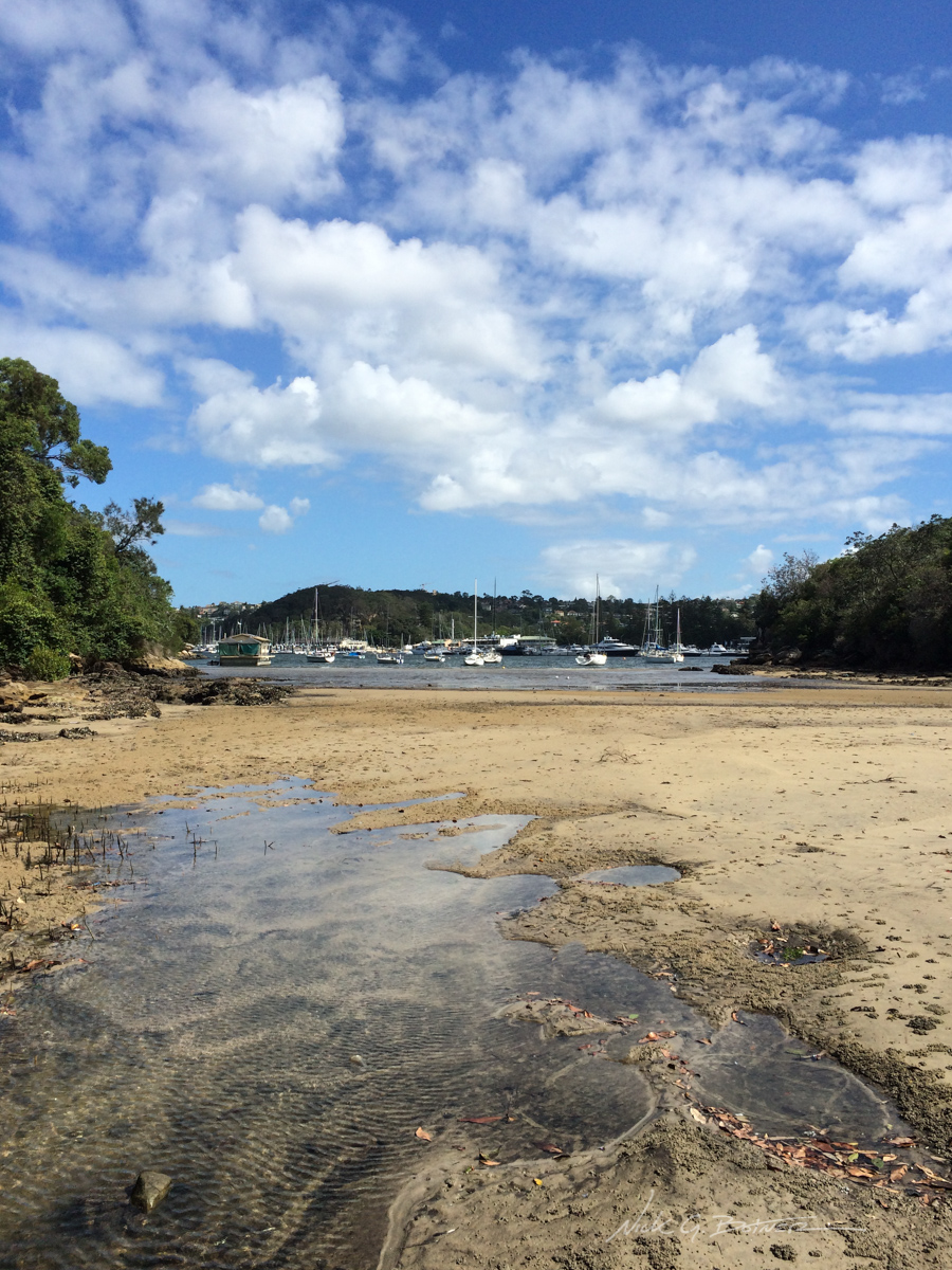
Wrapping up the Manly Beach Scenic Walk.
![]()
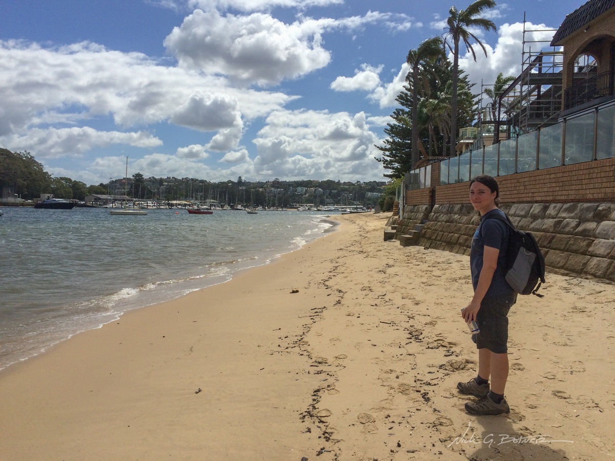
Low tide at Shell Cove along the end of the Many Beach Scenic Walk.
So there you have it!
We hope you enjoyed these slivers of excitement from our three weeks in Australia. So much more happened then what I could take photos of. Sometimes you are so caught up in the moment that you forget to pull out the camera, and that’s ok.
As far as my opinion of the trip, I’ve always wanted to go to Australia. And this was a great first taste. The weather, the people, the animals, it was all amazing. Sadly, we have other places on our to travel list. But one thing is certain, we are coming back to Australia. Hell. I could easily retire here…as long as they fix their wifi and start brewing some stronger beers. 😉
Thanks for reading and stay tuned for the videos.
Also, don’t forget to follow us on Facebook for more realtime action!