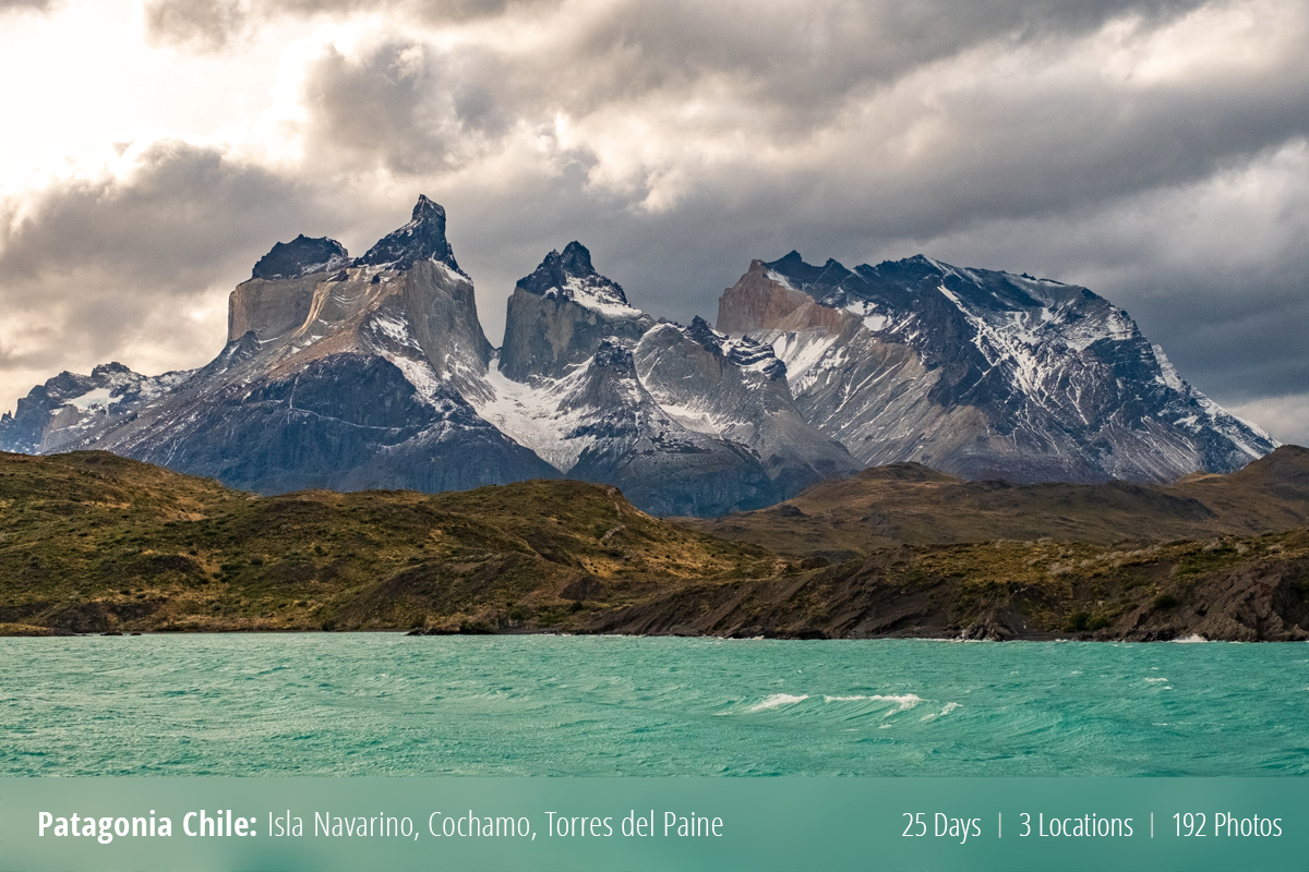
Jen and I spent three weeks in various parts of Patagonia Chile. Instead of making everyone wait and writing up multiple blogs, I am just going to dump all the decent photos I have into this post. I ended up with +600 photos from the trip and have distilled them down to a mere 192 photos. So grab a drink and have a nice scroll through the photos!
Traveling to Isla Navarino
First up on the grand tour was making our way south to Puerto Williams on Isla Navarino. This is the farthest southerly town in South America.
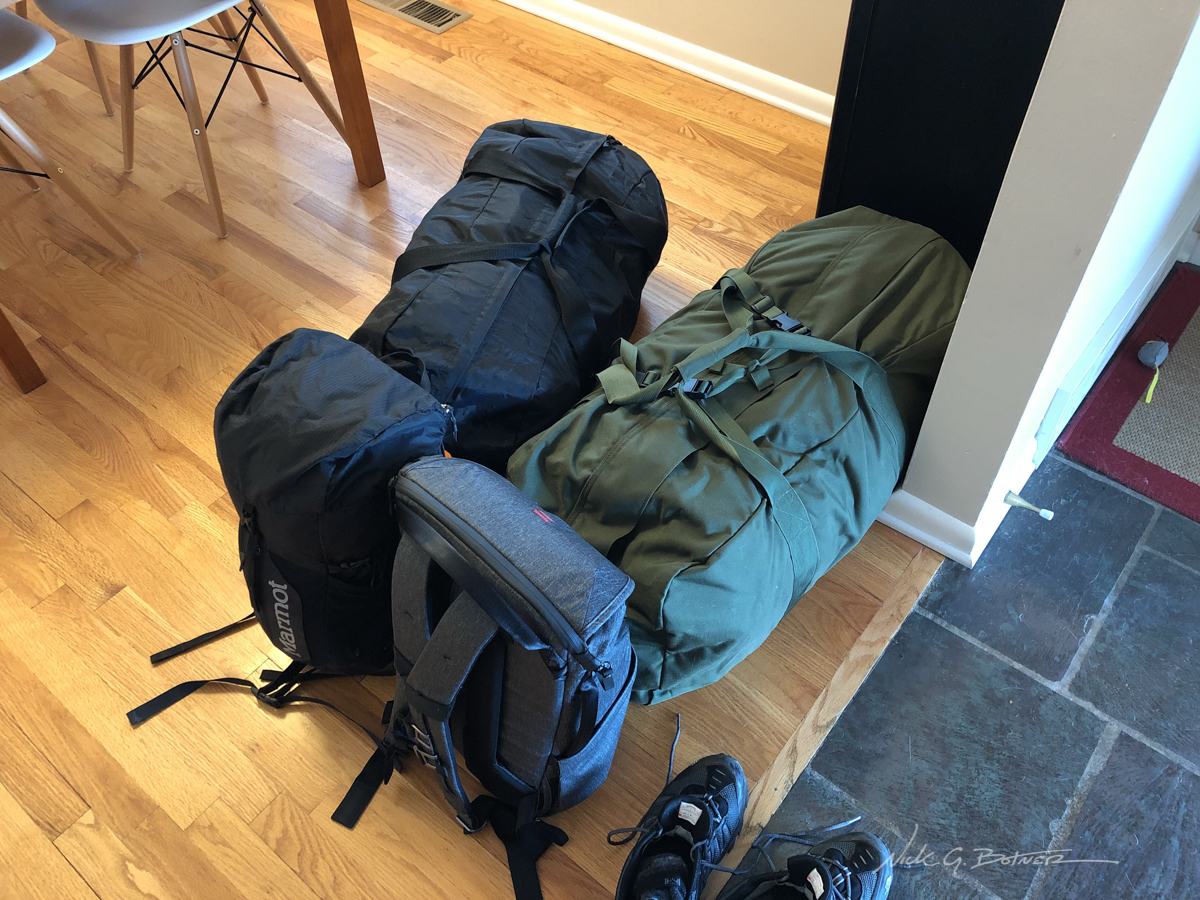
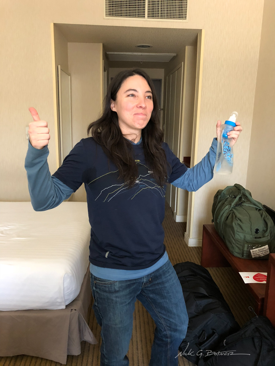
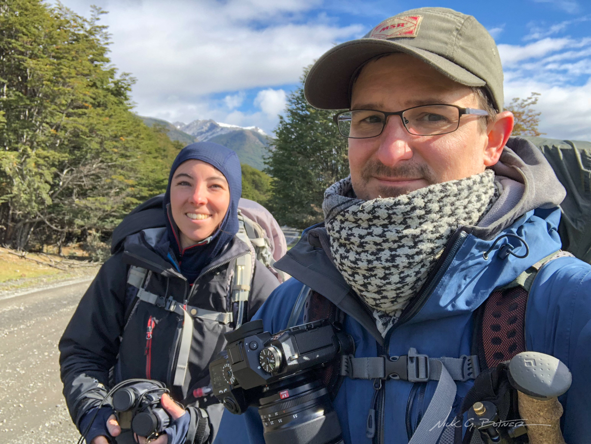
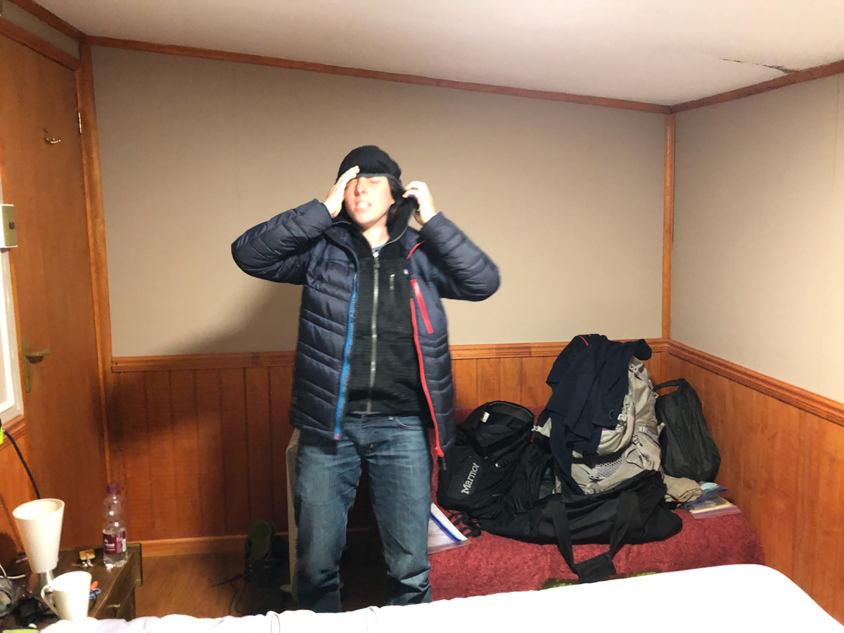
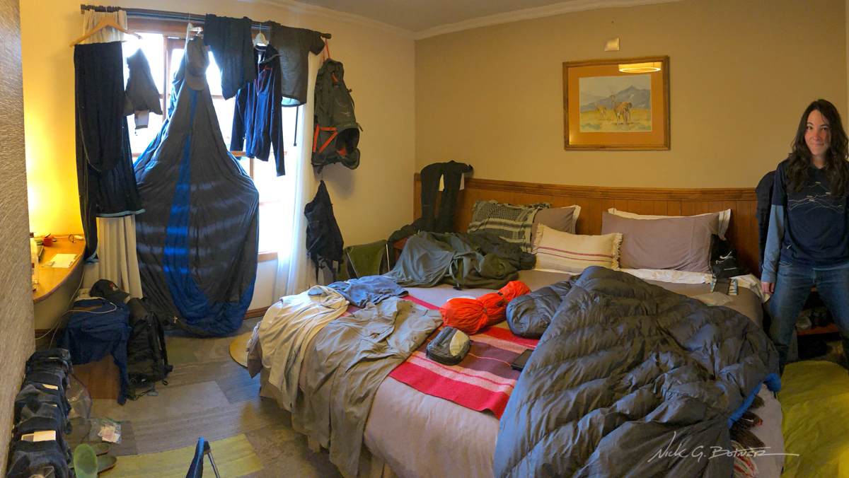
Bags are packed for 3.5 weeks of fun.
![]()
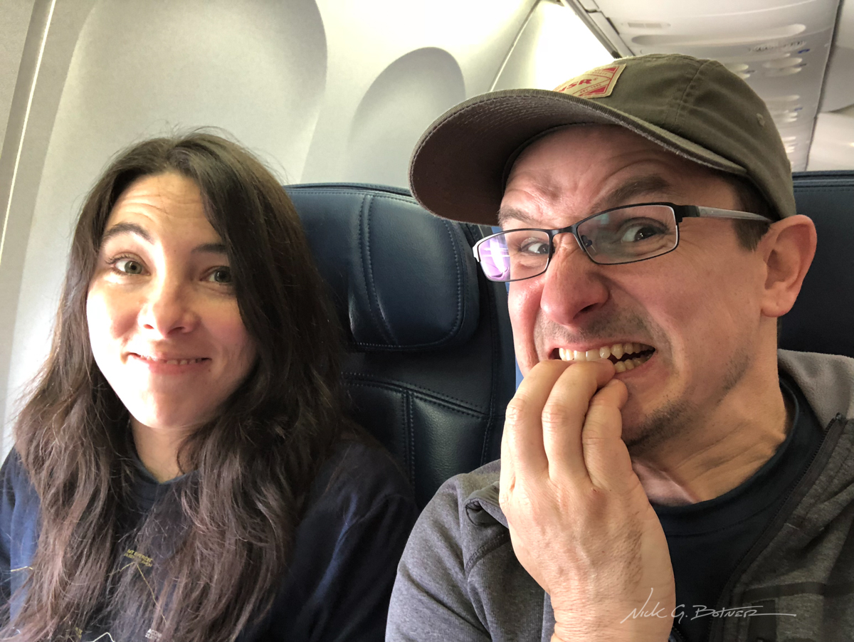
There is going to be a lot of flying to get this far south.
![]()
First stop in South America, Santiago, Chile.
![]()
We booked a hotel at the airport because we had a very long layover and wanted some actual sleep.
![]()
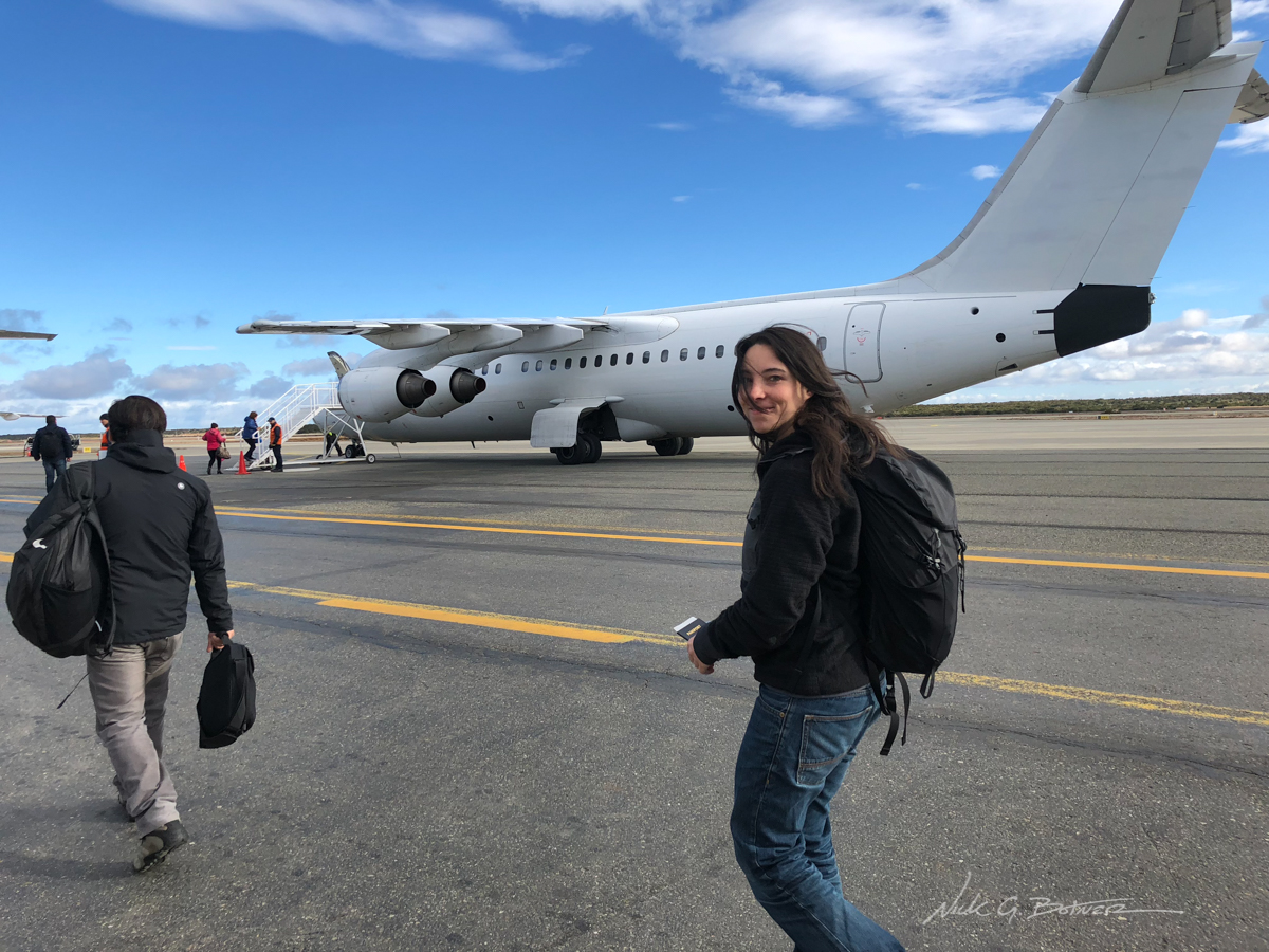
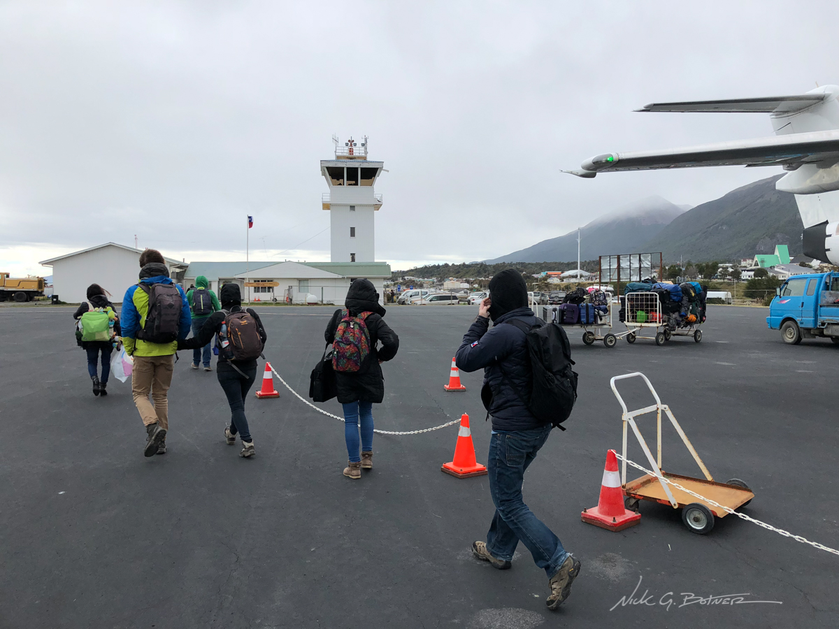
Next up was Punta Arenas where they walked us on the tarmac to our plane bound for Puerto Williams.
![]()
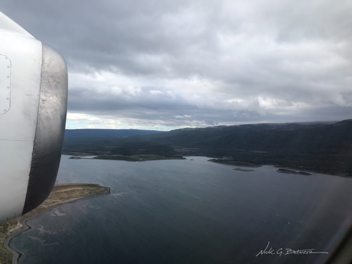
Incoming on Puerto Williams.
![]()
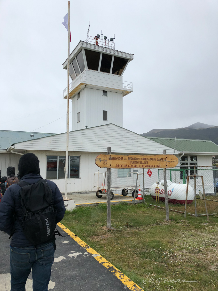
Puerto Williams airport.
![]()
They’re gonna need a bigger airport soon.
![]()
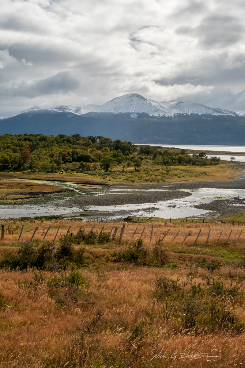
Tierra del Fuego, Argentina across the Beagle Channel.
![]()
A view from our hotel room with our destination in the background, the Dientes.
![]()
More views from the hotel room.
![]()
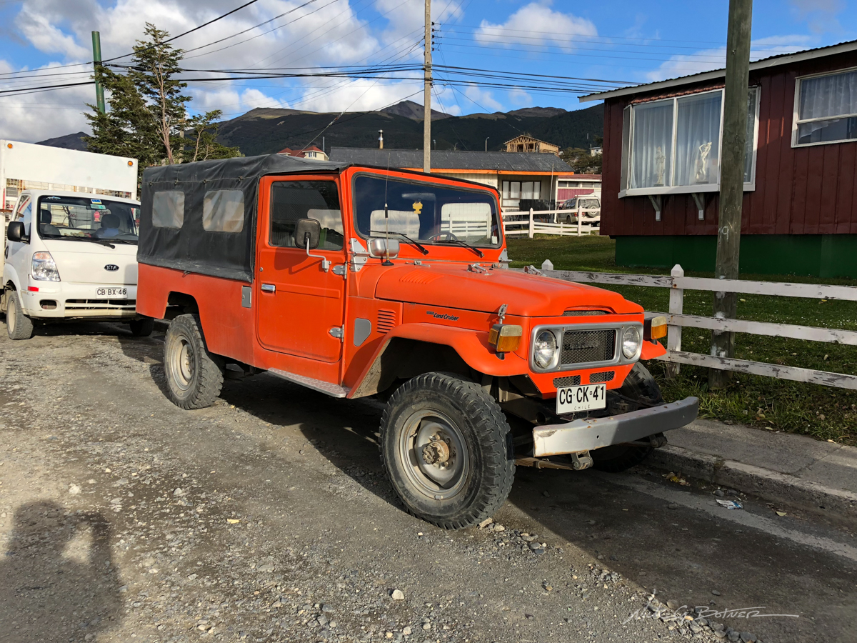
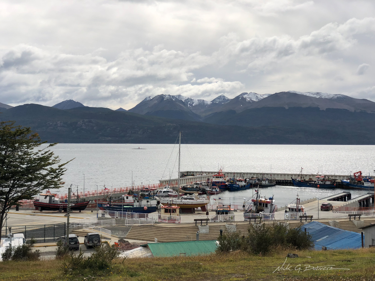
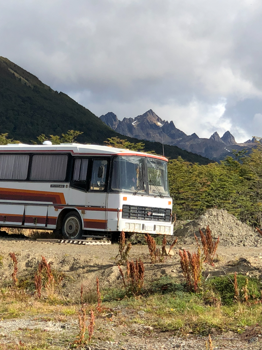
Walking around Puerto Williams to gather supplies and check in with the local police. Also taking photos of awesome Land Cruisers.
![]()
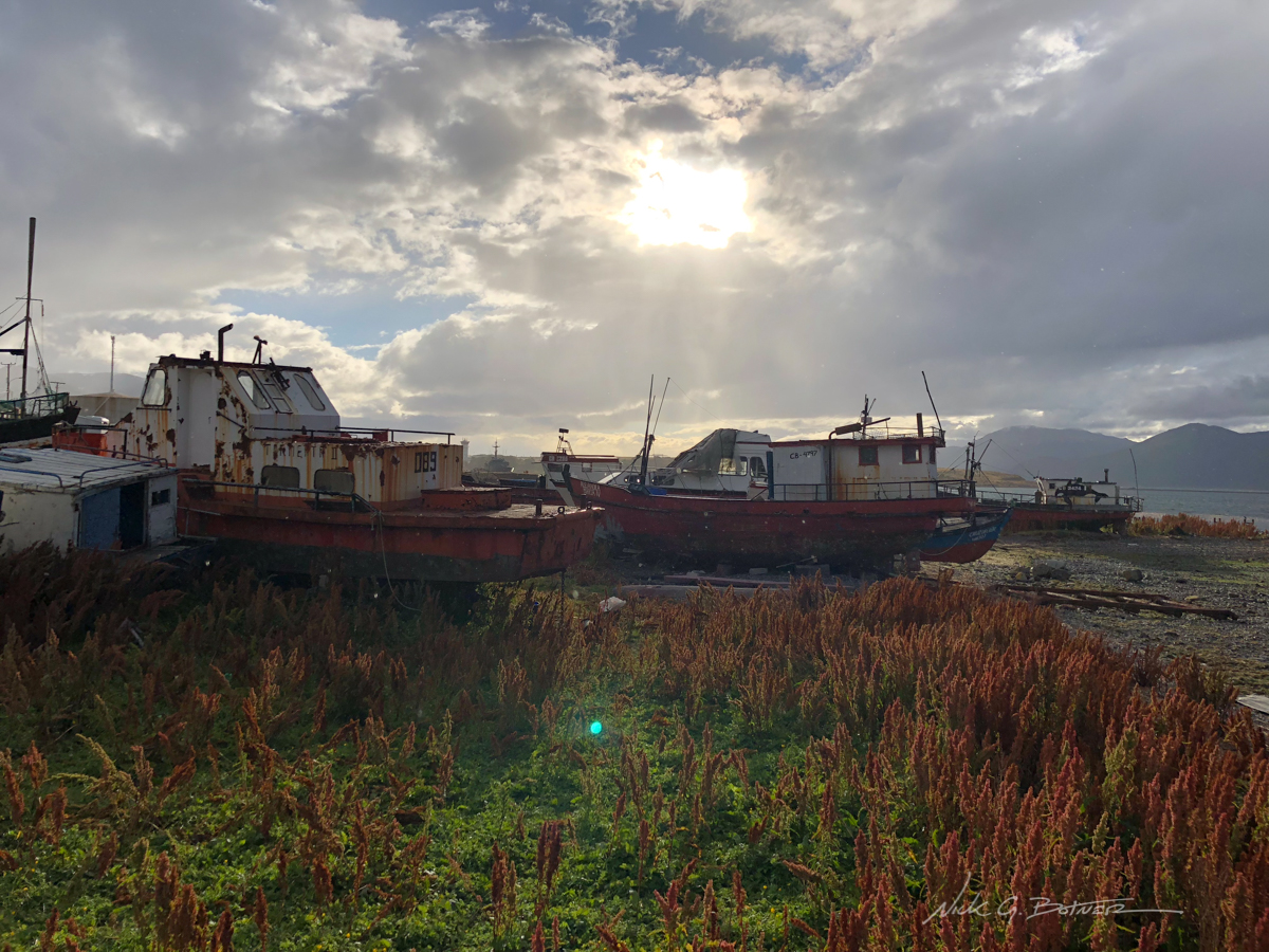
Abandoned vessels.
![]()
Backpacking The Dientes Circuit
Now starts our 5-day backpack around the Dientes Circuit on Isla Navarino.
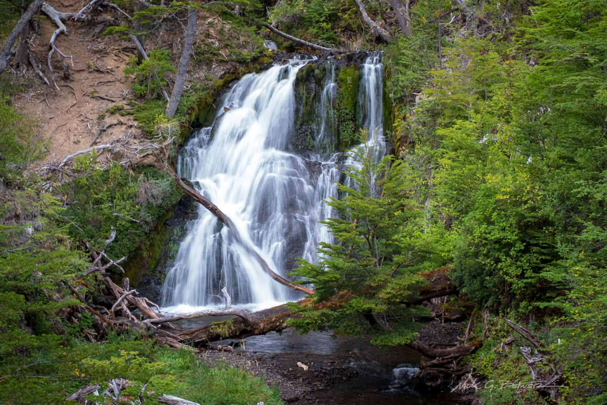
The beginning of the trek you get a view of Salto de Agua. “Waterfall of Water”. Excellent Name.
![]()
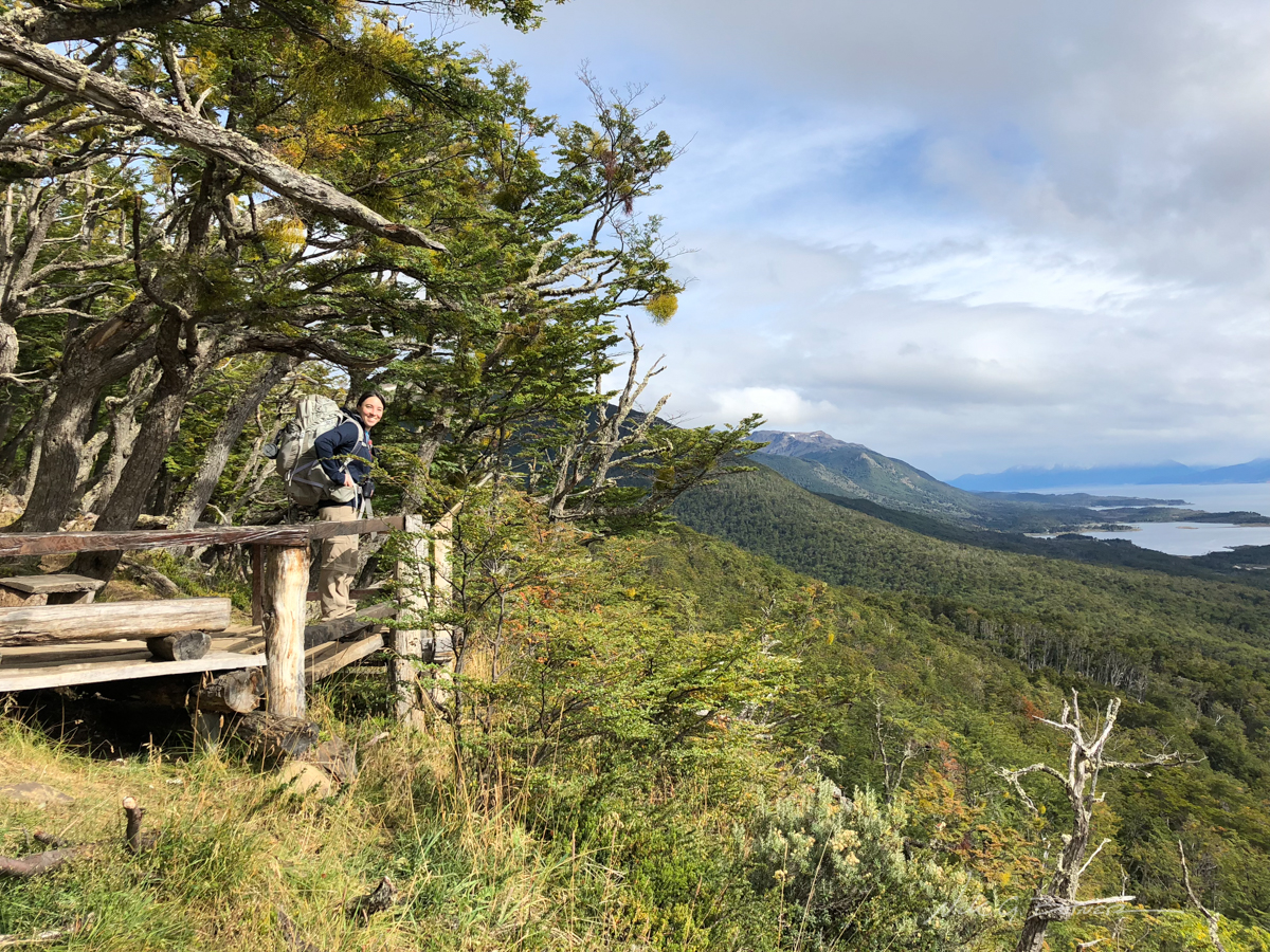
Jen enjoying one of the lookouts on our way up Bandera Mountain.
![]()
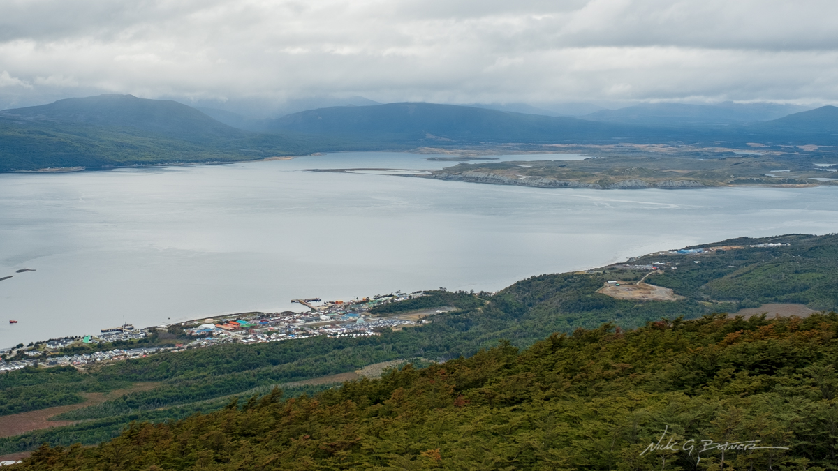
The tiny town of Puerto Williams with Tierra del Fuego across the Beagle Channel.
![]()
Jen leading the charge up Cerro Bandera (Bandera Mountain).
![]()
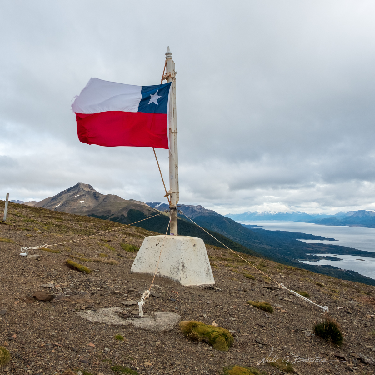
The famous Chilean flag atop of Cerro Bandera. You can see Ushuaia, Argentina in the distance across the channel. Rumor has it Chile put the flag up to irritate Argentina. I won’t go into the details here.
![]()
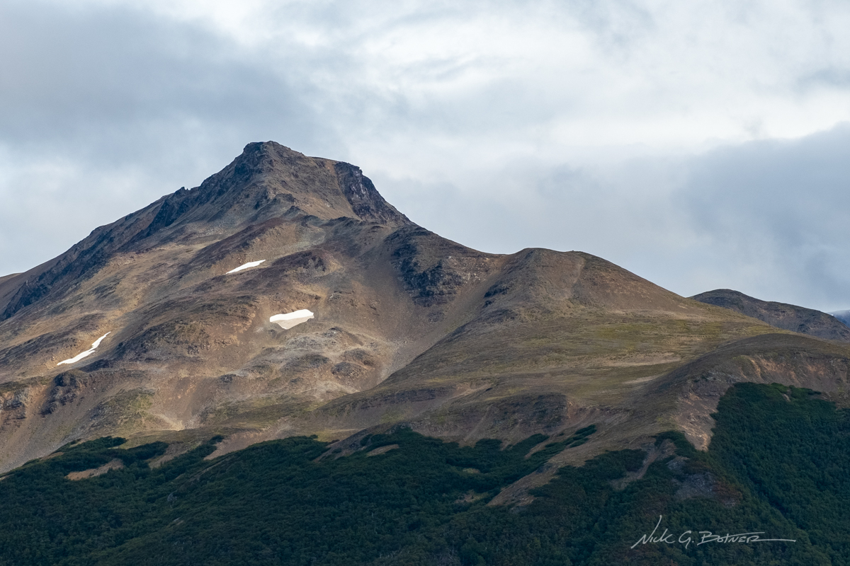
Across the valley is Cerro Robalo.
![]()
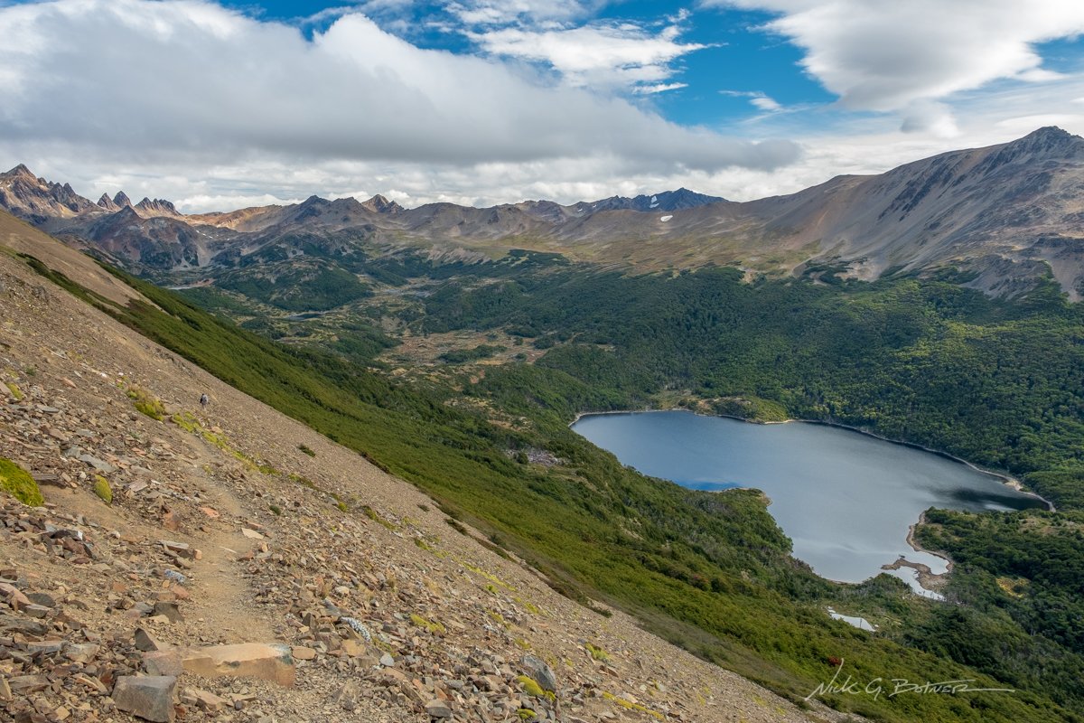
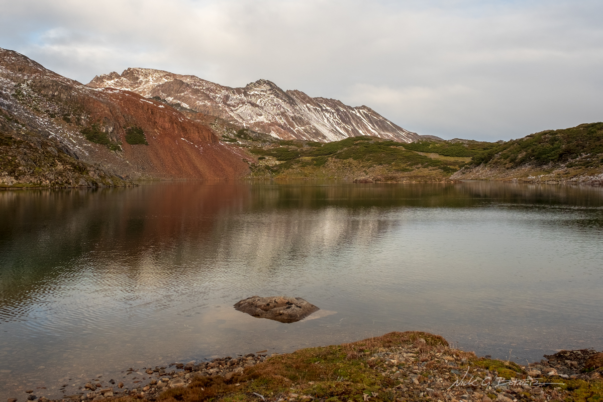
Making our way along the scree slopes towards our first overnight. The lake below, Laguna Robalo, reminds me of the shape of Africa.
![]()
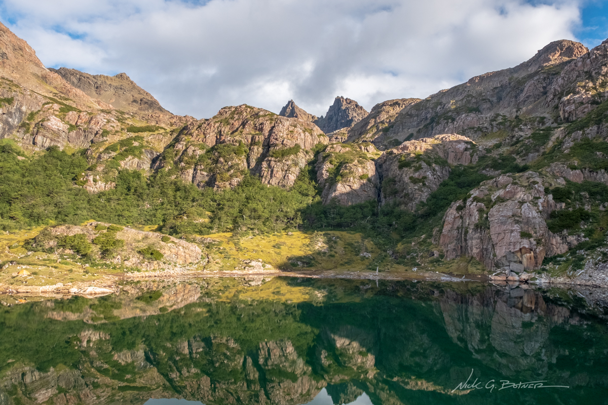
And the beauty starts to emerge.
![]()
“As the Gods Entered Valhalla” by Richard Wagner comes to mind. But only because I watched Alien Covenant on the plane flight down where it is referenced a couple times.
![]()
Beaver Bogs. Beautiful from afar. But soon we will learn the truth.
![]()
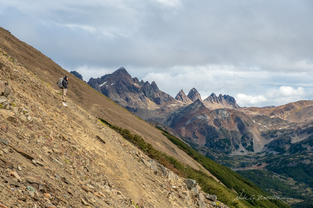
Getting there is a lot of up and down on some steep slopes. But you can see our lake in the distance.
![]()
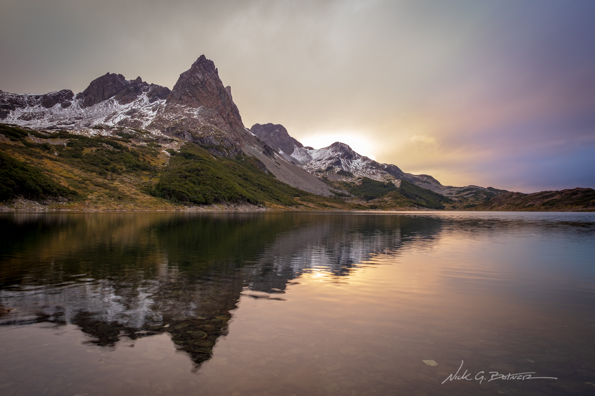
Prominent twin peaks in the distance.
![]()
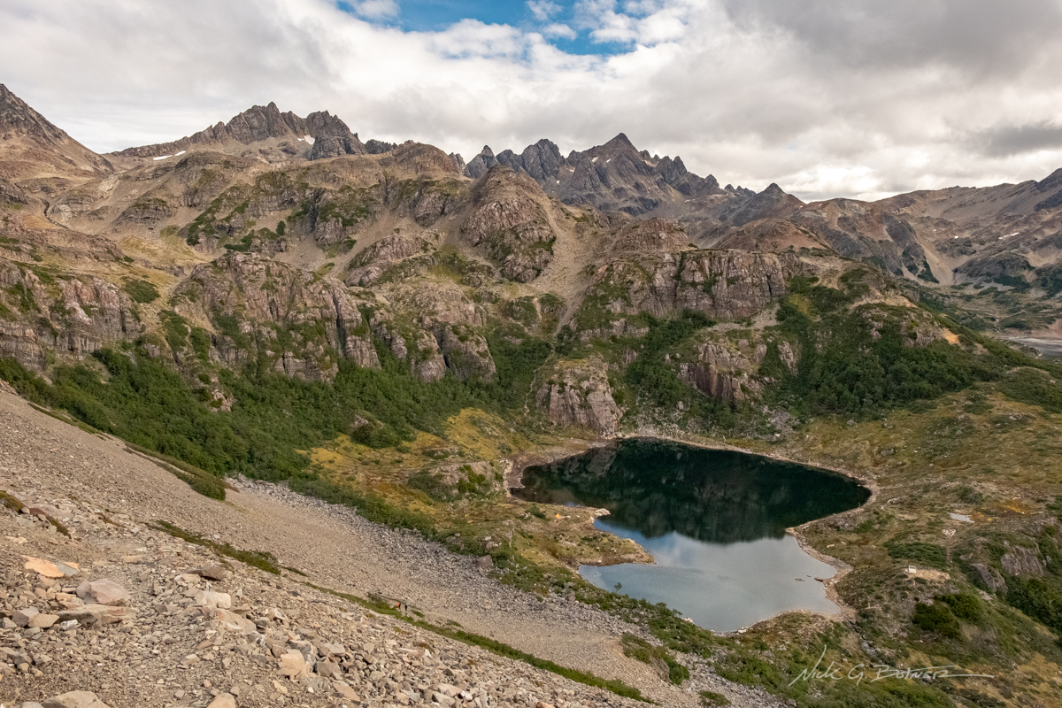
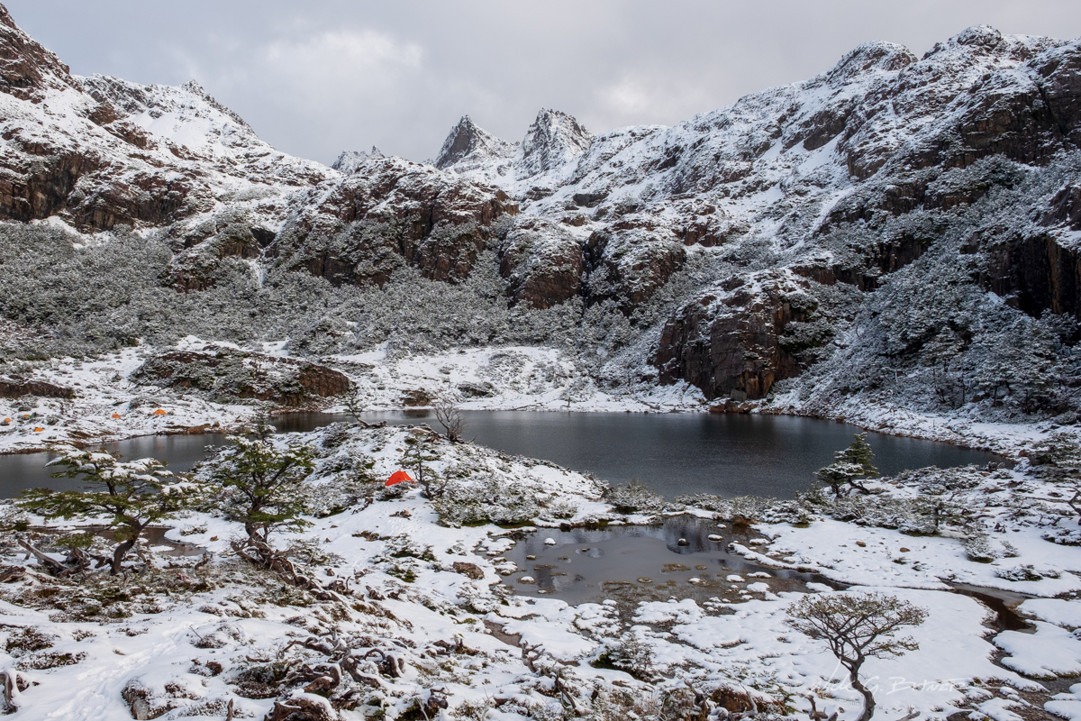
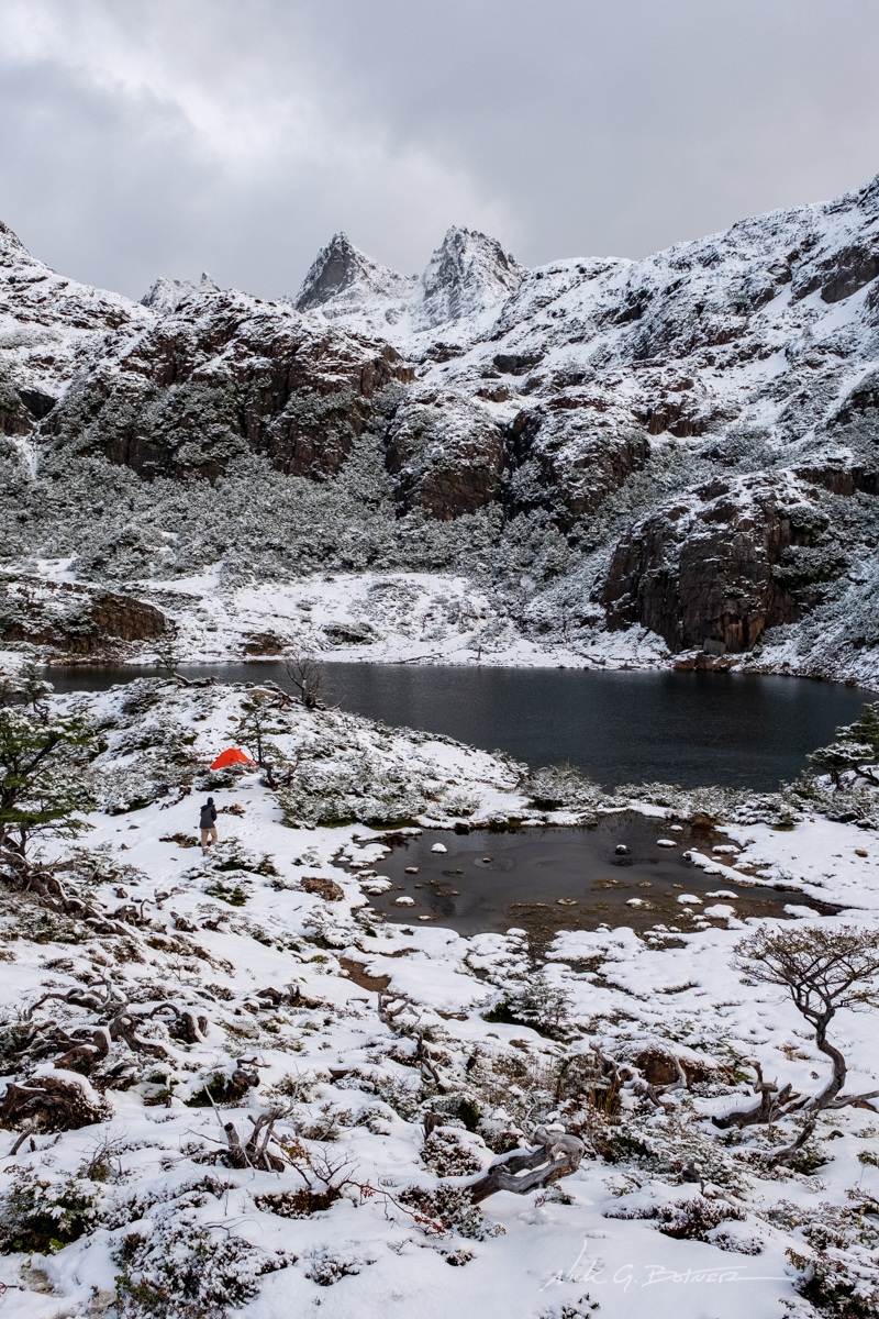
We just need to make it down this loose scree/boulder slope and we are at our first camp, Laguna del Salto.
![]()
While setting up camp, the sun came out for a very brief moment.
![]()
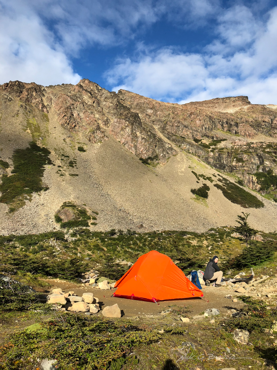
A view of our camp and Jen setting up. To the left, you can see the zigzag scree trail we came down.
![]()
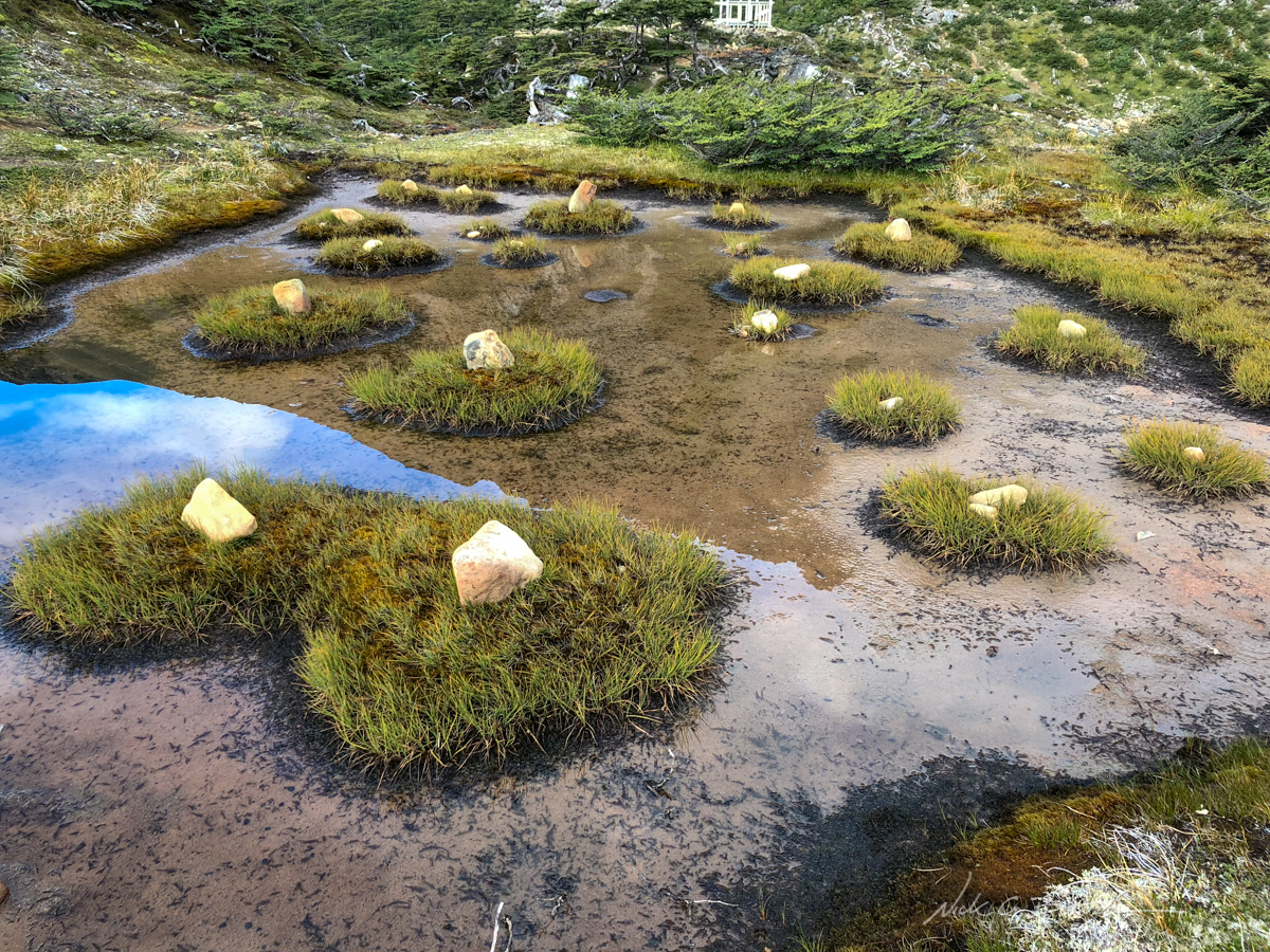
I don’t think these stones were placed here naturally…
![]()
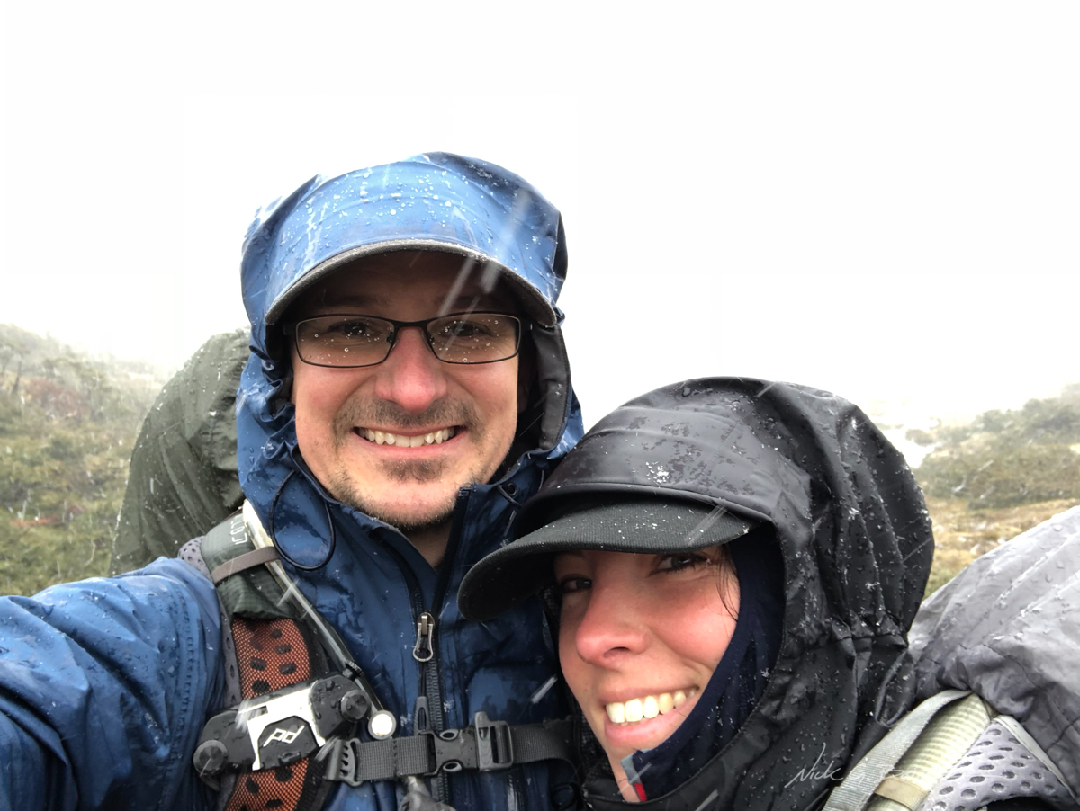
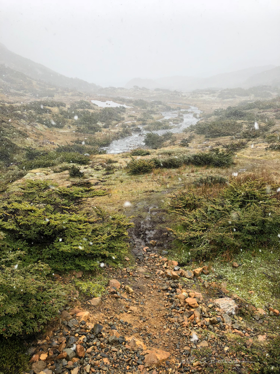
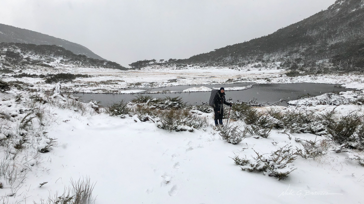
The next morning we were greeted with a familiar friend.
We knew we were going to get some rain on the trip. What we were not expecting as 6in of snowfall overnight and the continued falling of snow for the entirety of the day. Since we had to make it up some steep passes, and we had a bit of time, we made the call to wait for a weather window and spend the day in the tent trying to wait it out.
![]()
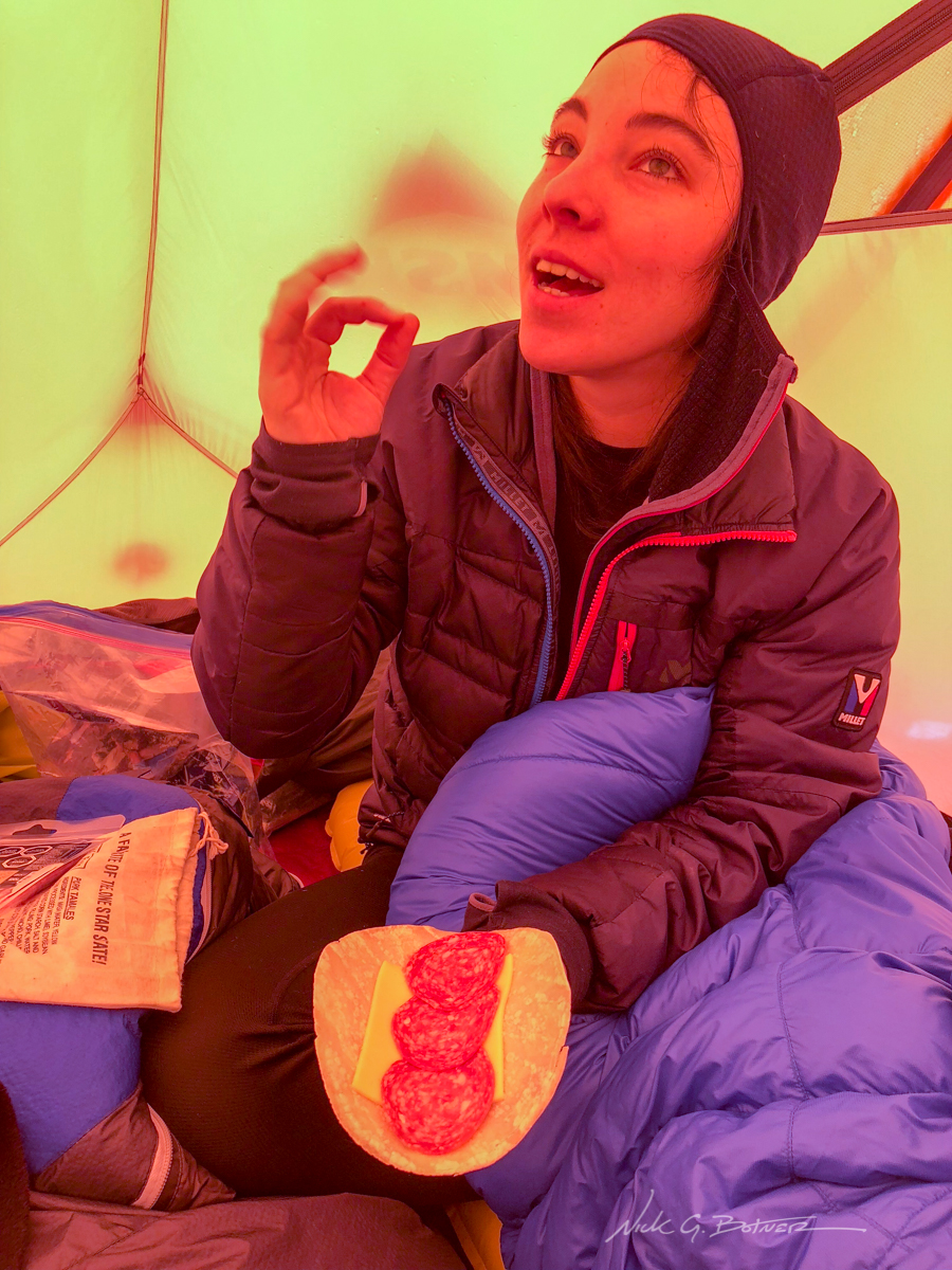
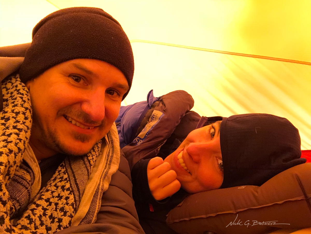
When you’re in a tent for most of the day you spend a lot of time sleeping, reading and eating.
![]()
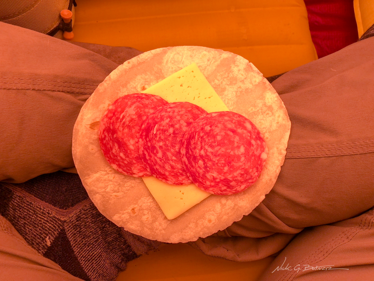
Salami, cheese and tortilla was the meal of choice.
![]()
Every now and then we got a short break in the clouds.
![]()
Looking back towards the channel. There was no snow on that mountain 12hrs ago.
![]()
You can’t spend all day in a tent. So when the snow stopped I would hop out to take some photos.
![]()
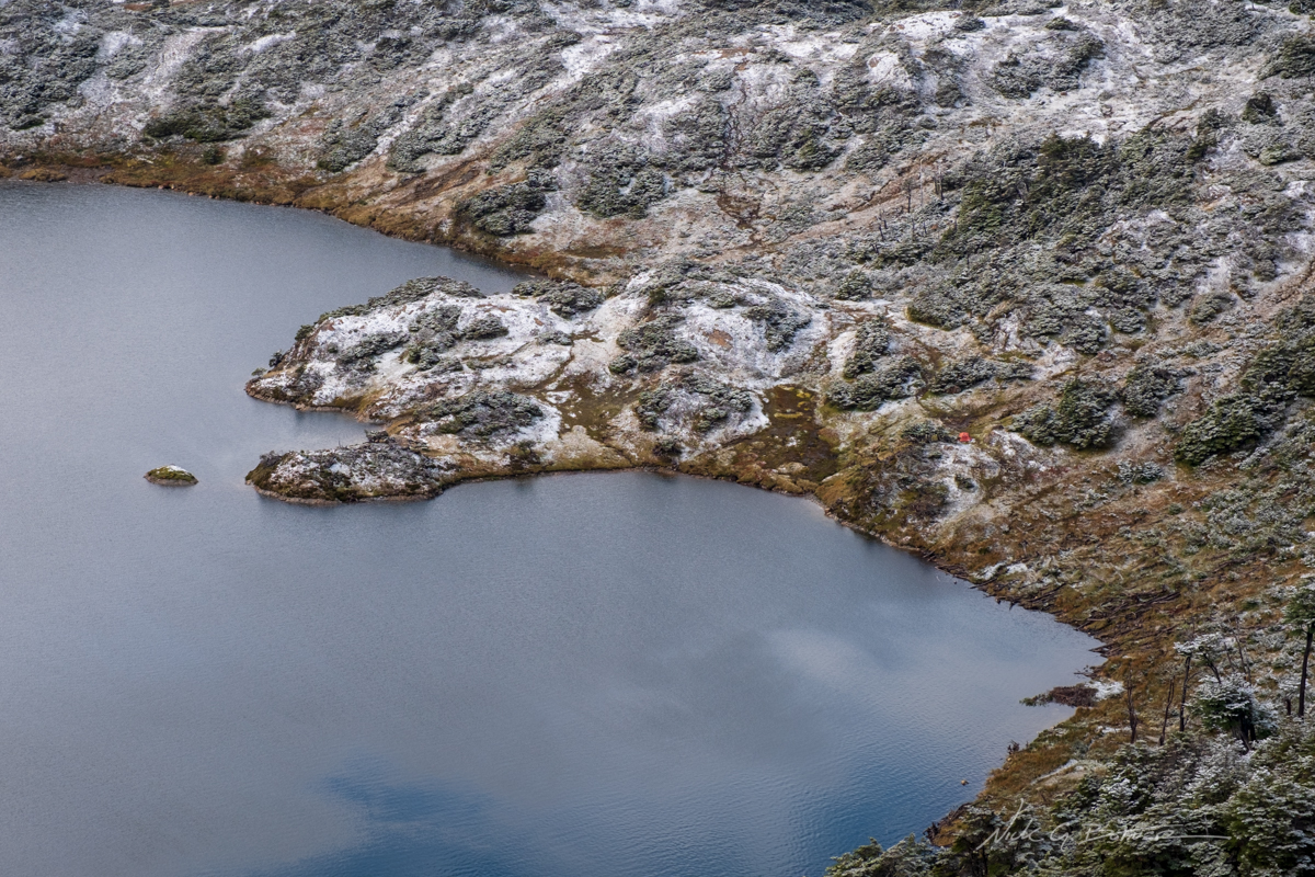
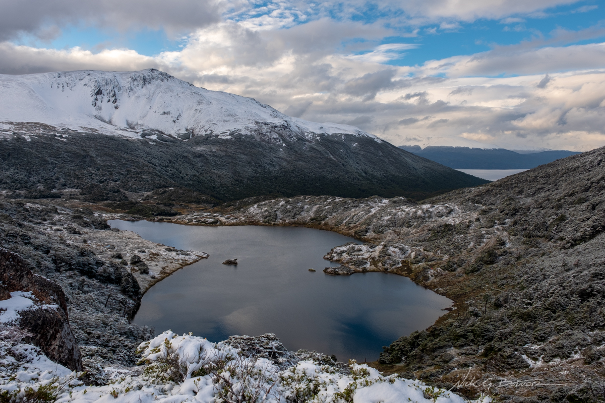
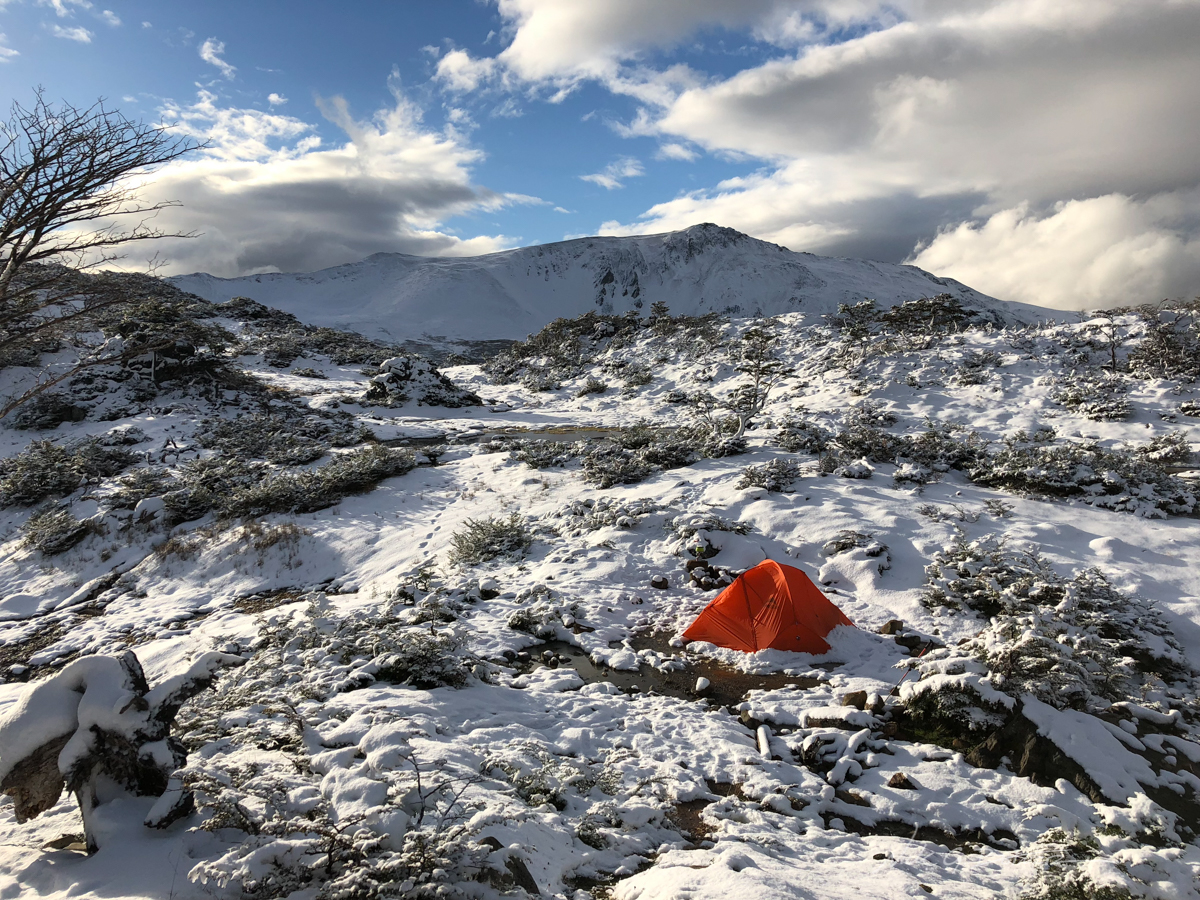
Even the lake below us got some snow. You can make out an orange tent as well.
![]()
Jen heads back to the warmth of the tent.
![]()
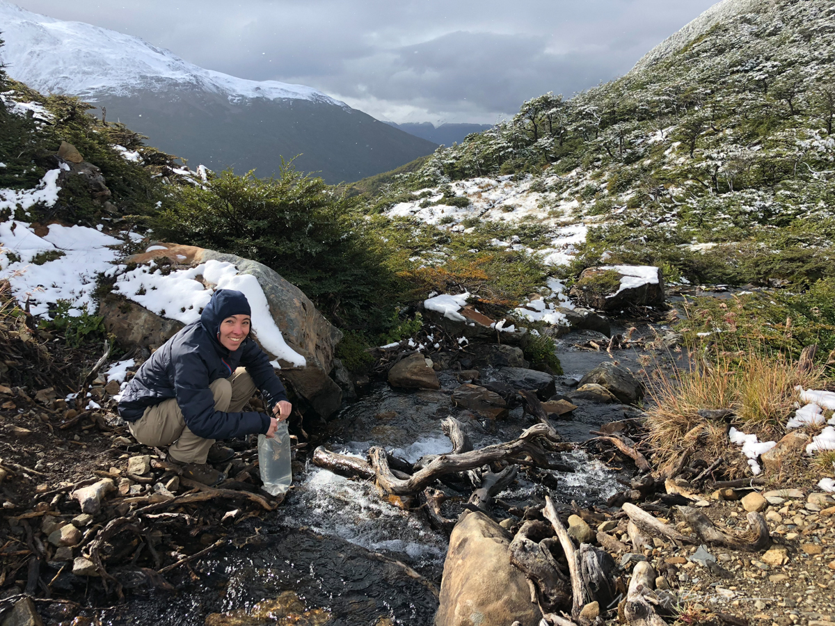
Collecting water for cooking so we can eat even more.
![]()
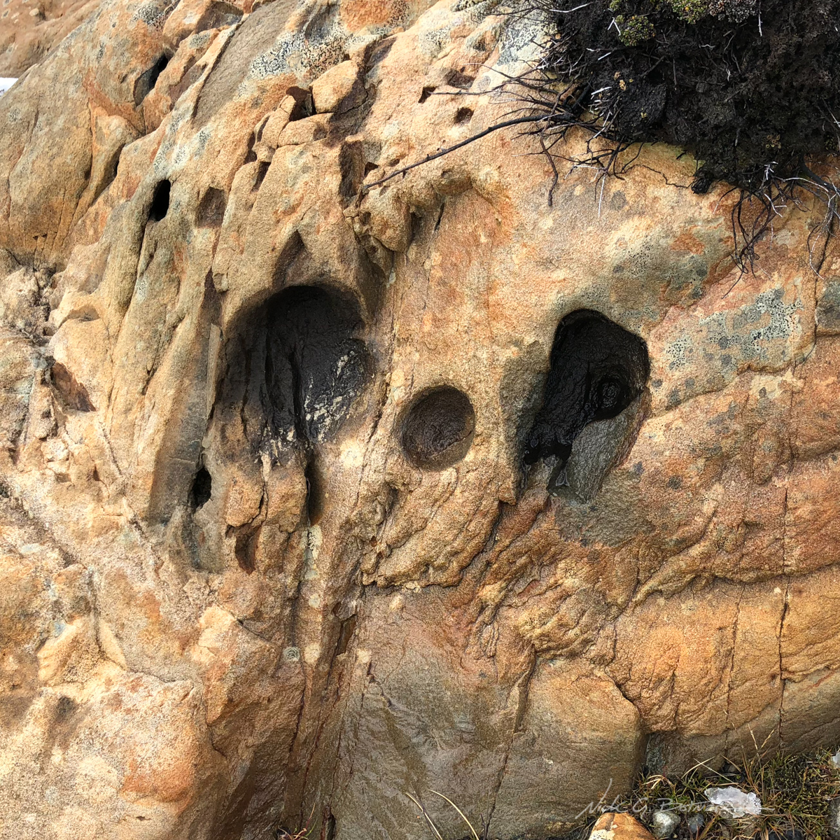
Skull like rock formation I found along the lakes edge.
![]()
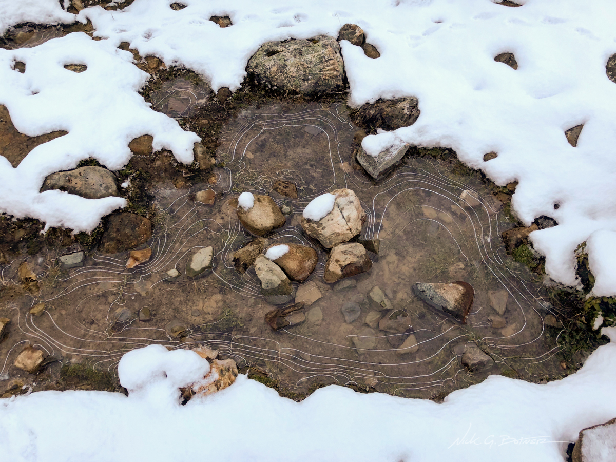
Next morning we awoke to favorable conditions. You can see the freeze rings on this puddle of water.
![]()
Blue sky and sun, things are looking up.
![]()
One last shot of the tent as the sun starts to warm things up.
![]()
So happy to be getting out of the tent for the day.
![]()
Even Tierra del Fuego was getting some sun across the Beagle Channel.
![]()
Back on the trail, we make our way for Paso Australia.
![]()
So stoked to be able to see things.
![]()
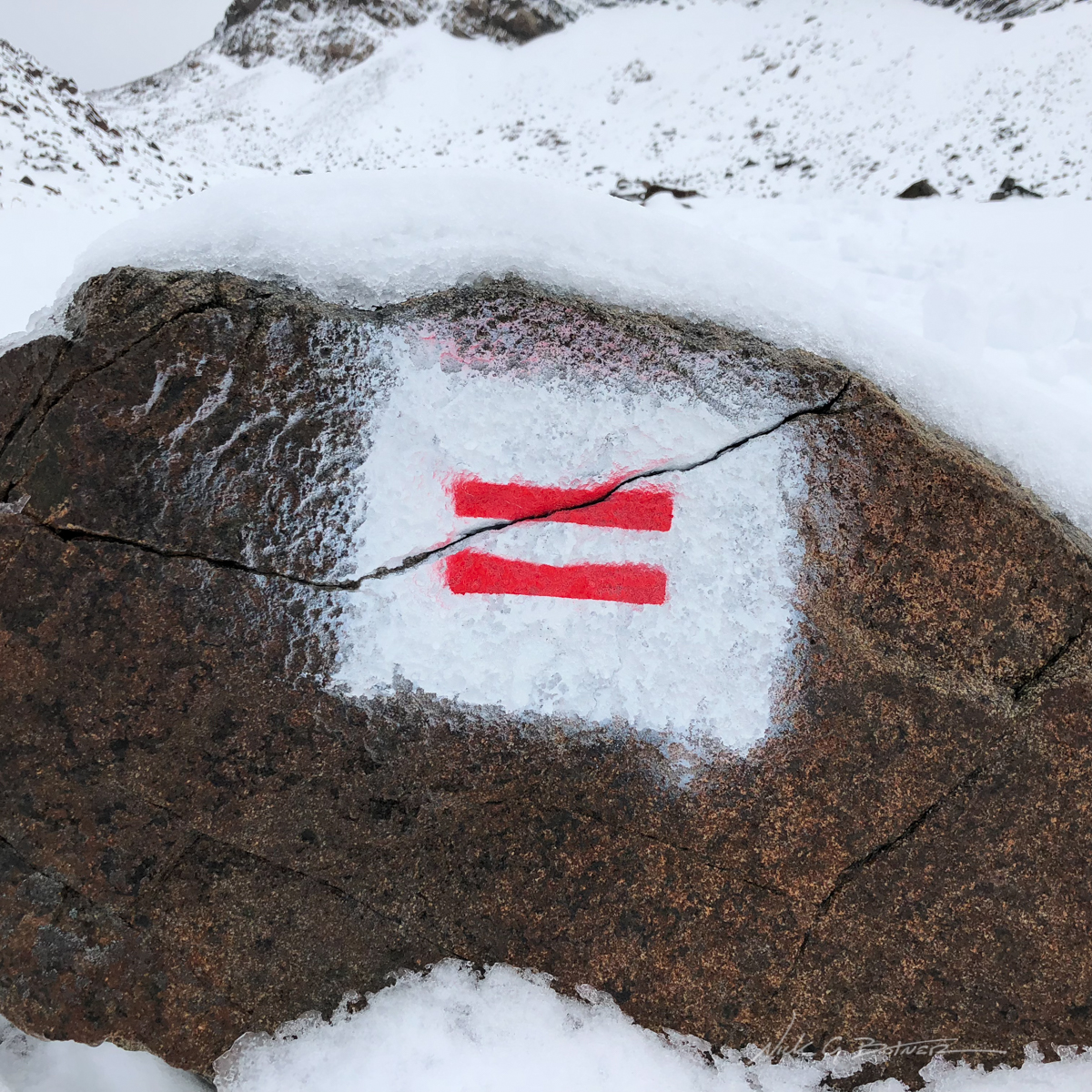
So far we’ve been following these freshly painted markers.
![]()
It’s hard to see, but there is a Brazilian (Victor) in this photo. :).
![]()
The pass is off to the left.
![]()
Jen and Victor make their way down Paso Australia and head for Paso de los Dientes next.
![]()
Laguna del Paso.
![]()
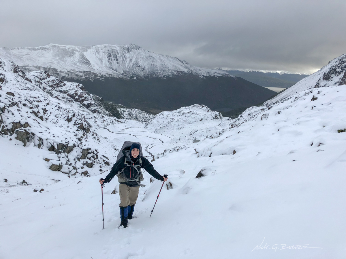
Starting to snow a bit again, but that’s ok.
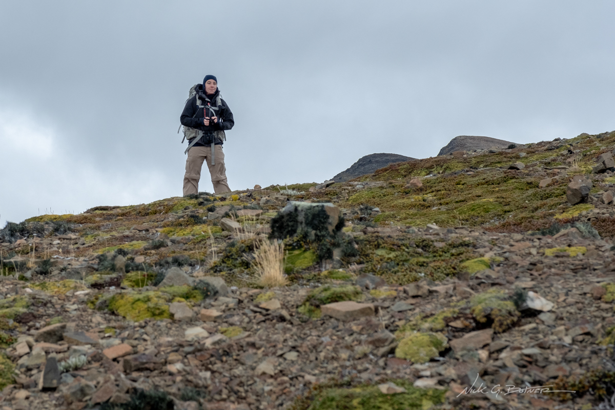
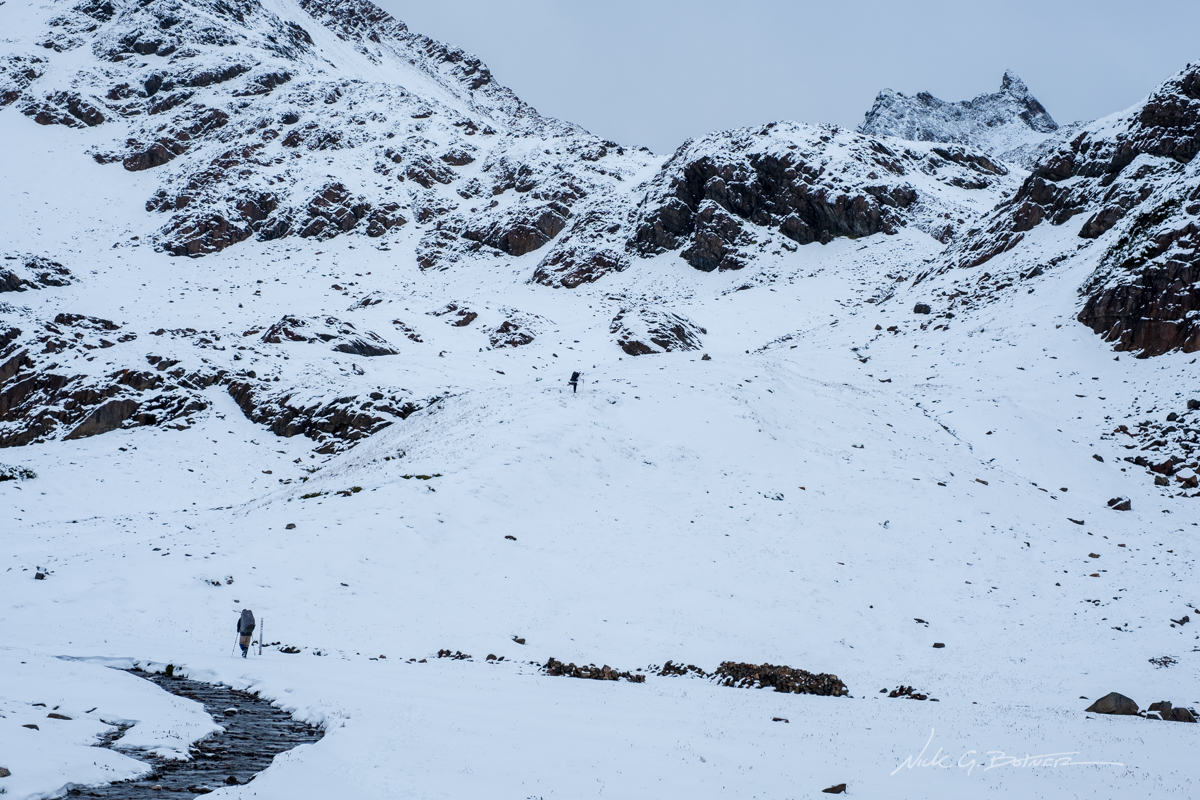
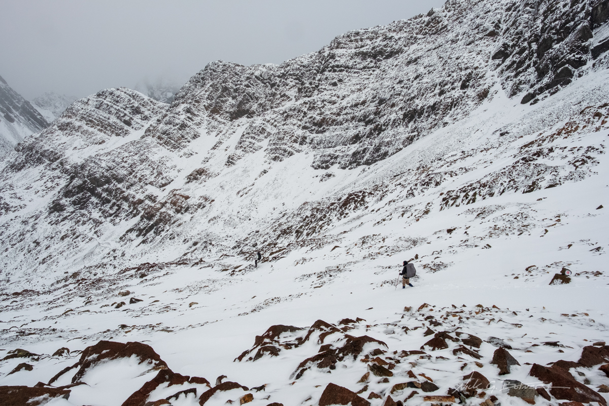
This next portion of the trip was not the hardest, but it was definitely the most technical. At this point I took over the lead and was breaking thigh deep snow on a 45 degree icy rock slope with no clear path. Thankfully I have a bit of experience in this kind of situation and was able to get the group around to the next pass.
We did run into one other couple who were camped above us and also waited out the storm. But when they saw this much snow, they made the call to turn around as they were not prepared for it. Definitely a good call on their part.
![]()
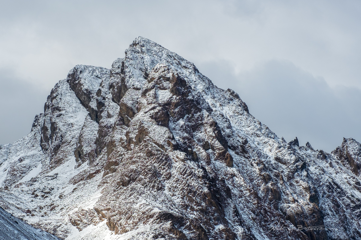
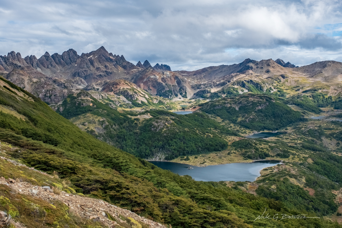
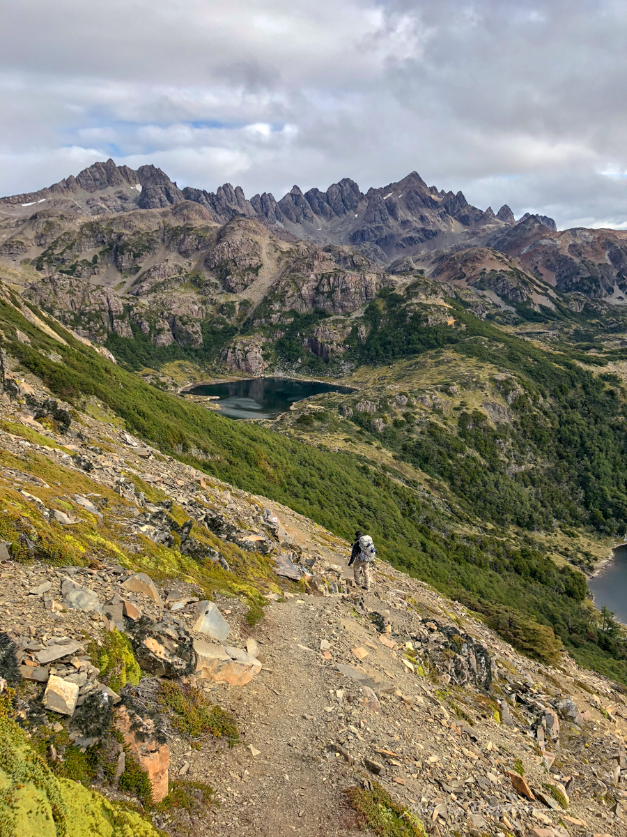
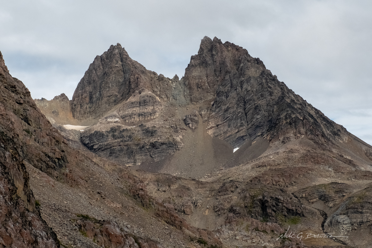
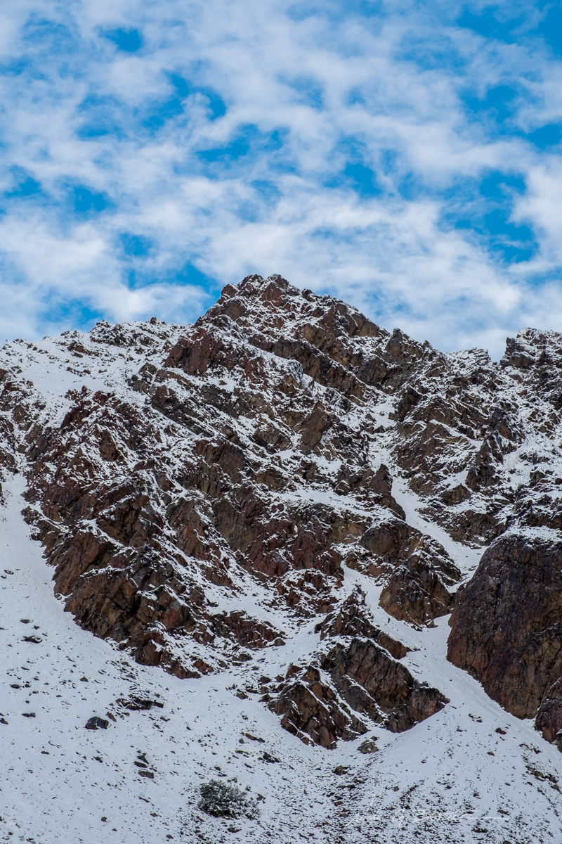
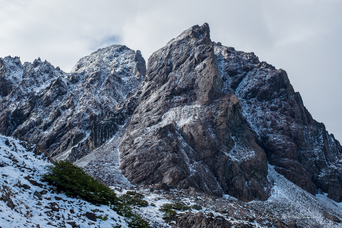
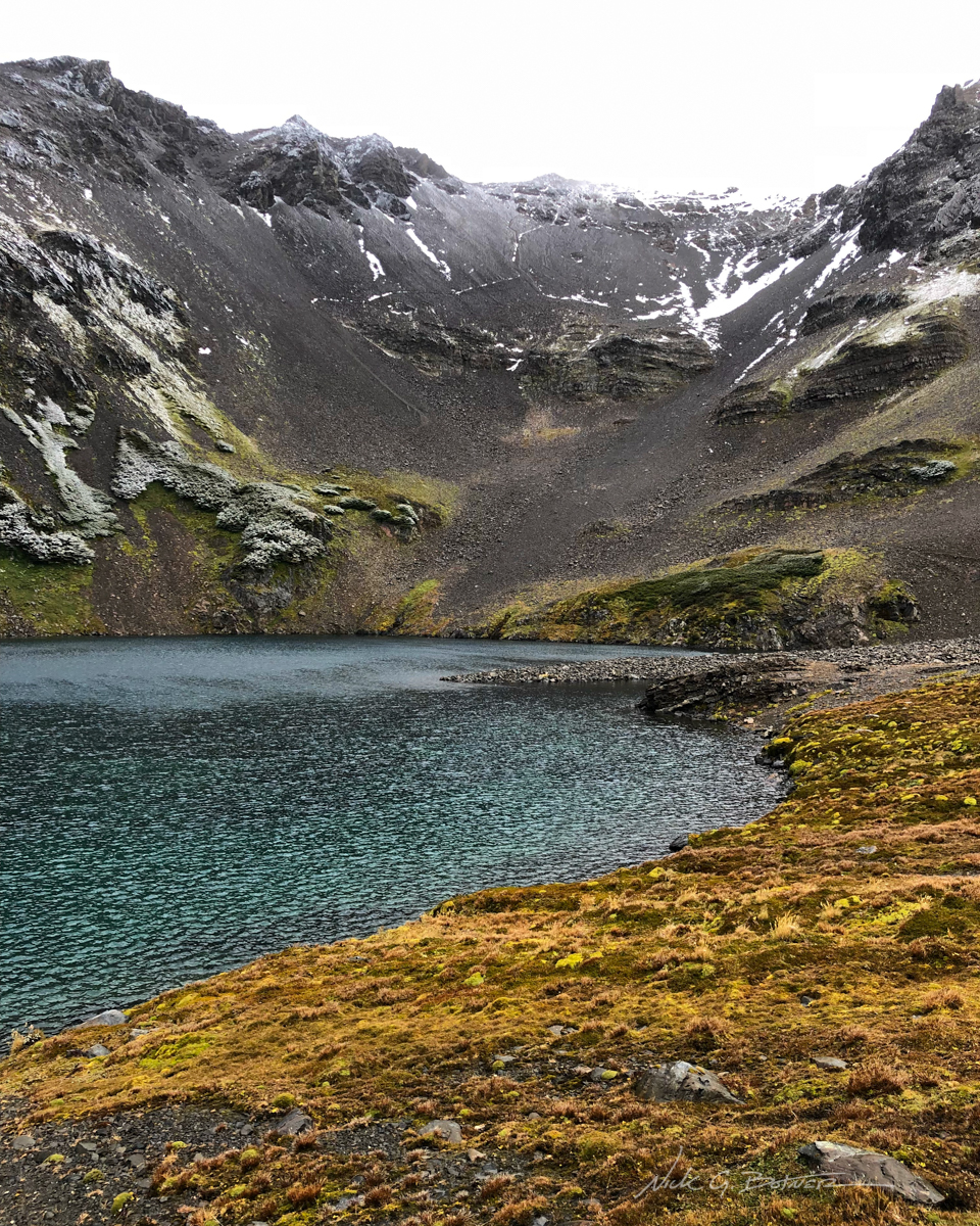
We made it to the next pass and were greeted with all kinds of jagged peaks. This is Picacho Diente de Navarino.
![]()
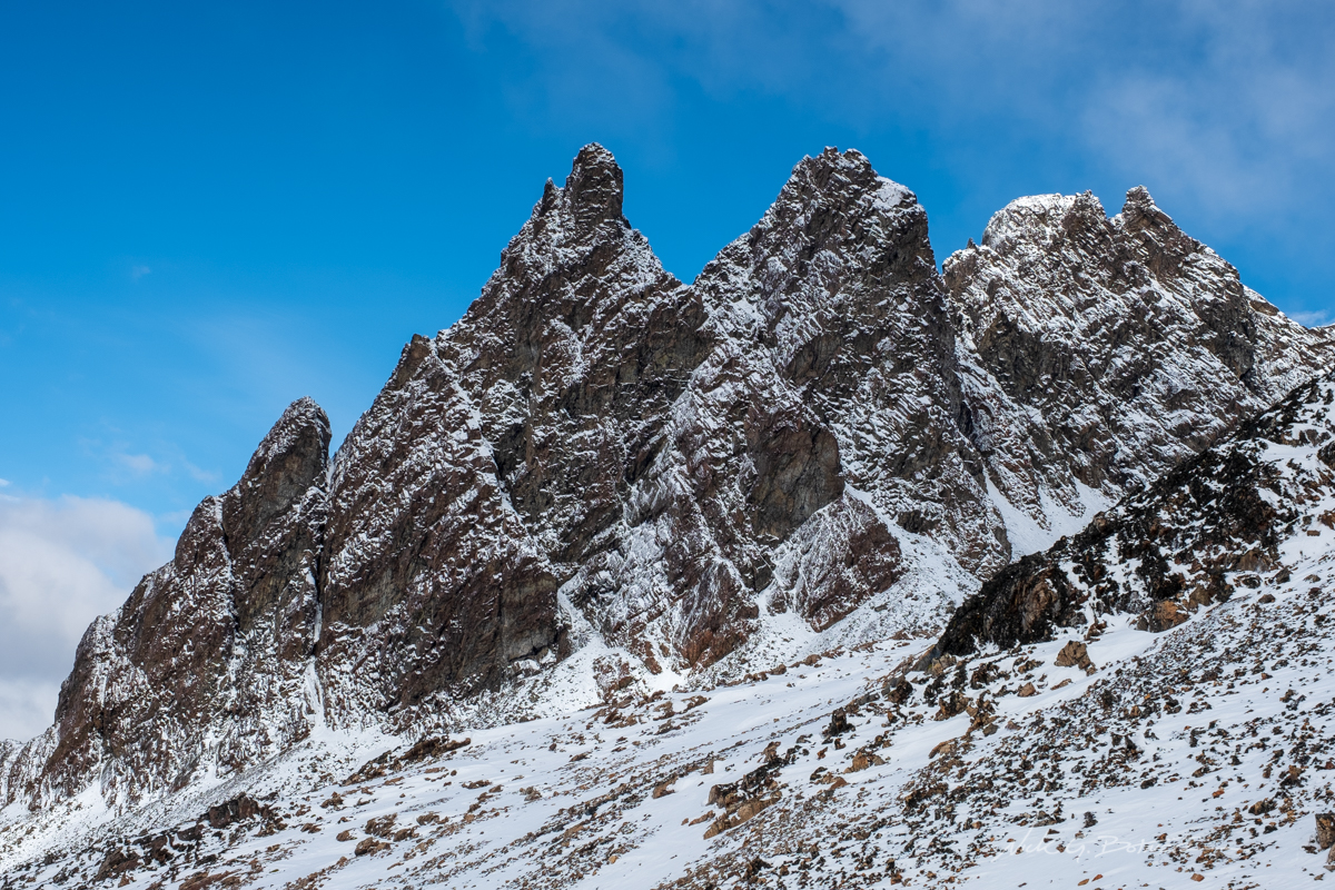
Unmarked jagged peaks to the right.
![]()
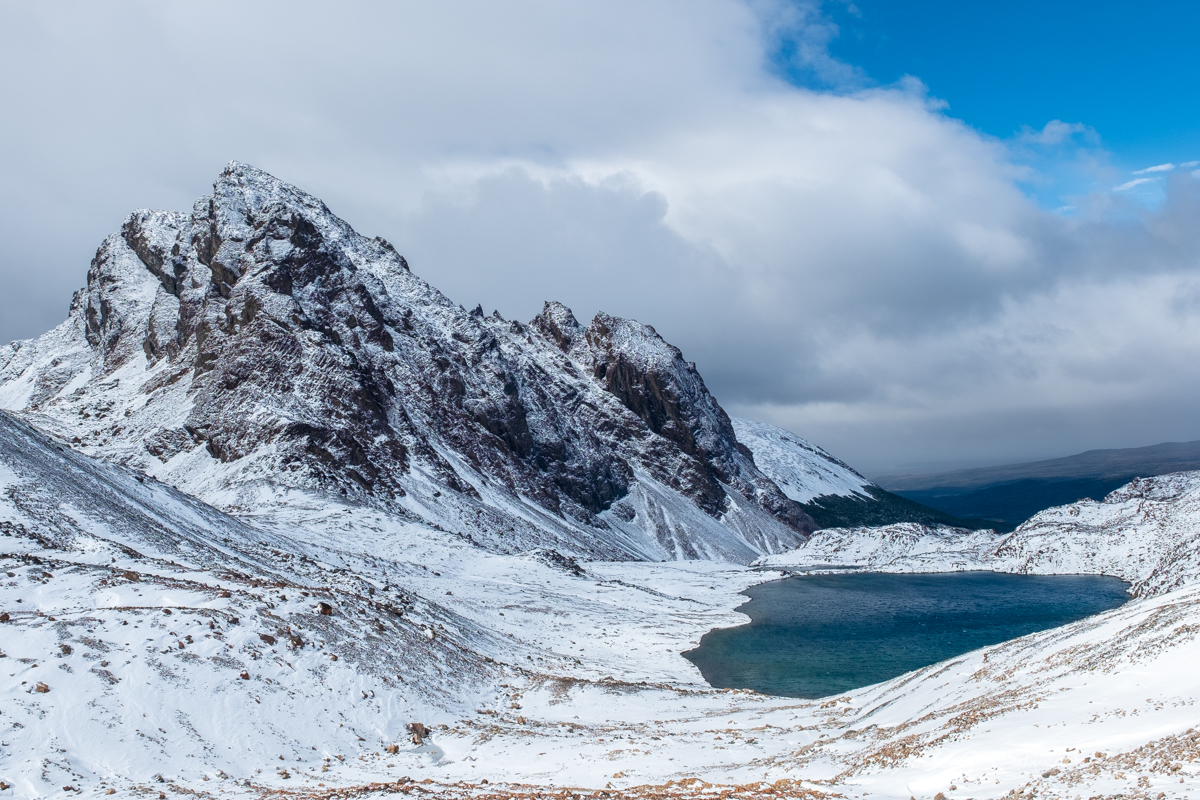
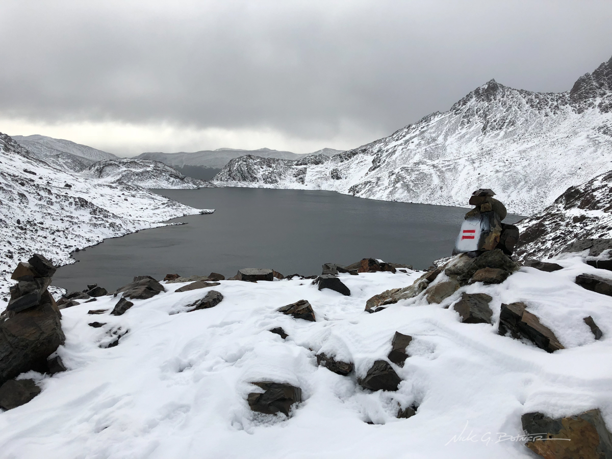
View looking down from the pass with Picacho Diente on the left and Laguna del Picacho on the right. We need to pass between them and hook to the right.
![]()
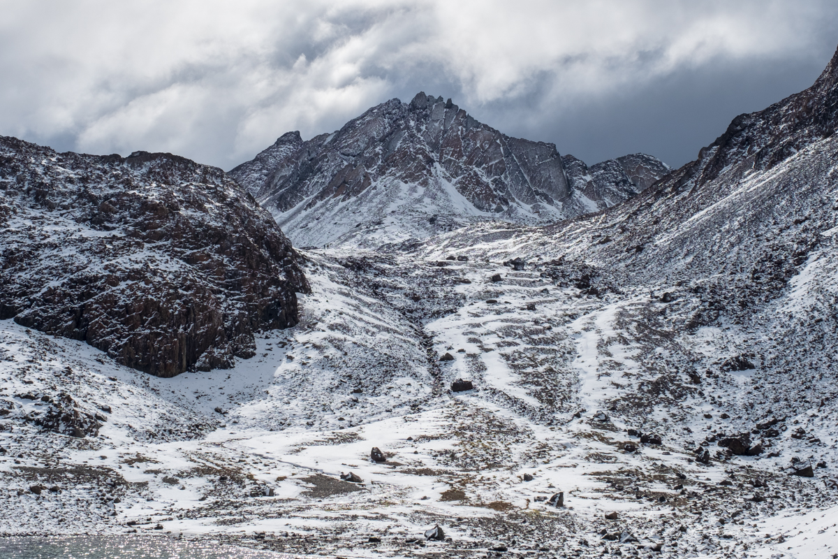
Looking back up the pass. You can see a group of people making their way down.
![]()
Peaks for days.
![]()
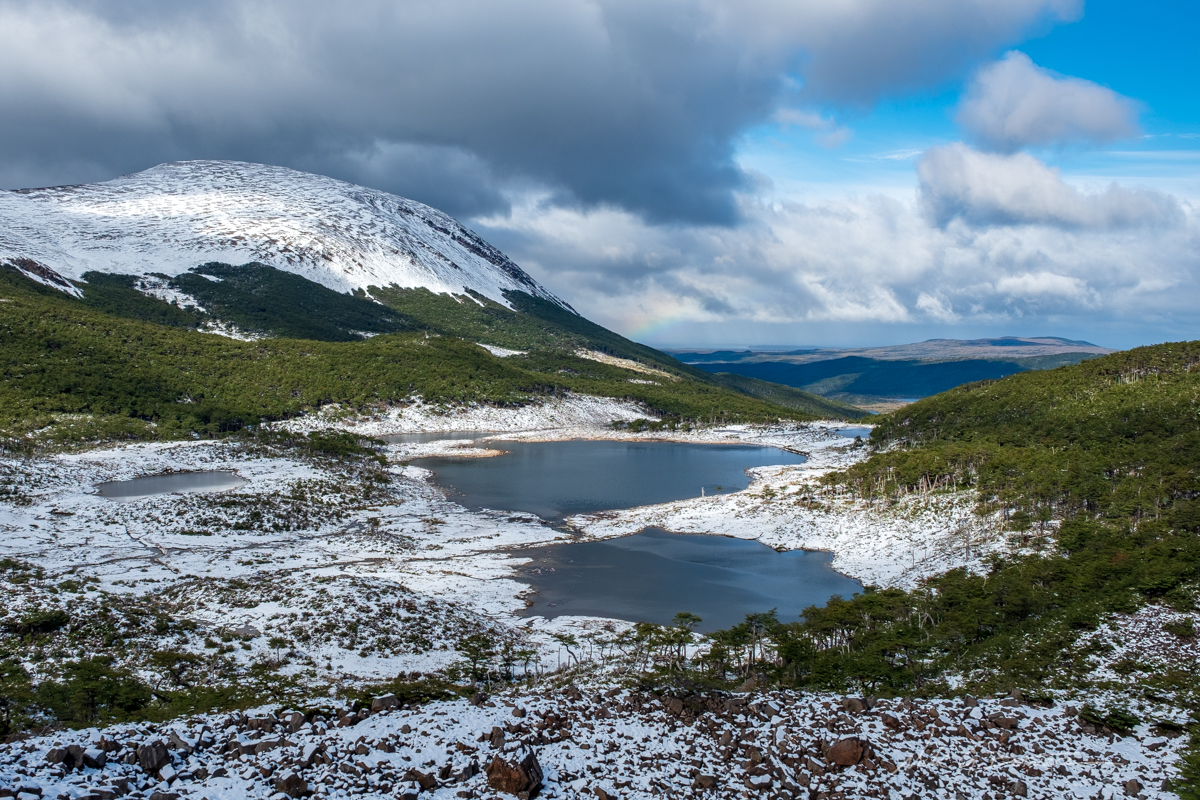
Once you make it down the pass and around the lake you get stunning views of Cumbre Bettinelli (the mound on the left). And supposedly this is were, on a clear day, you could see Cape Horn.
![]()
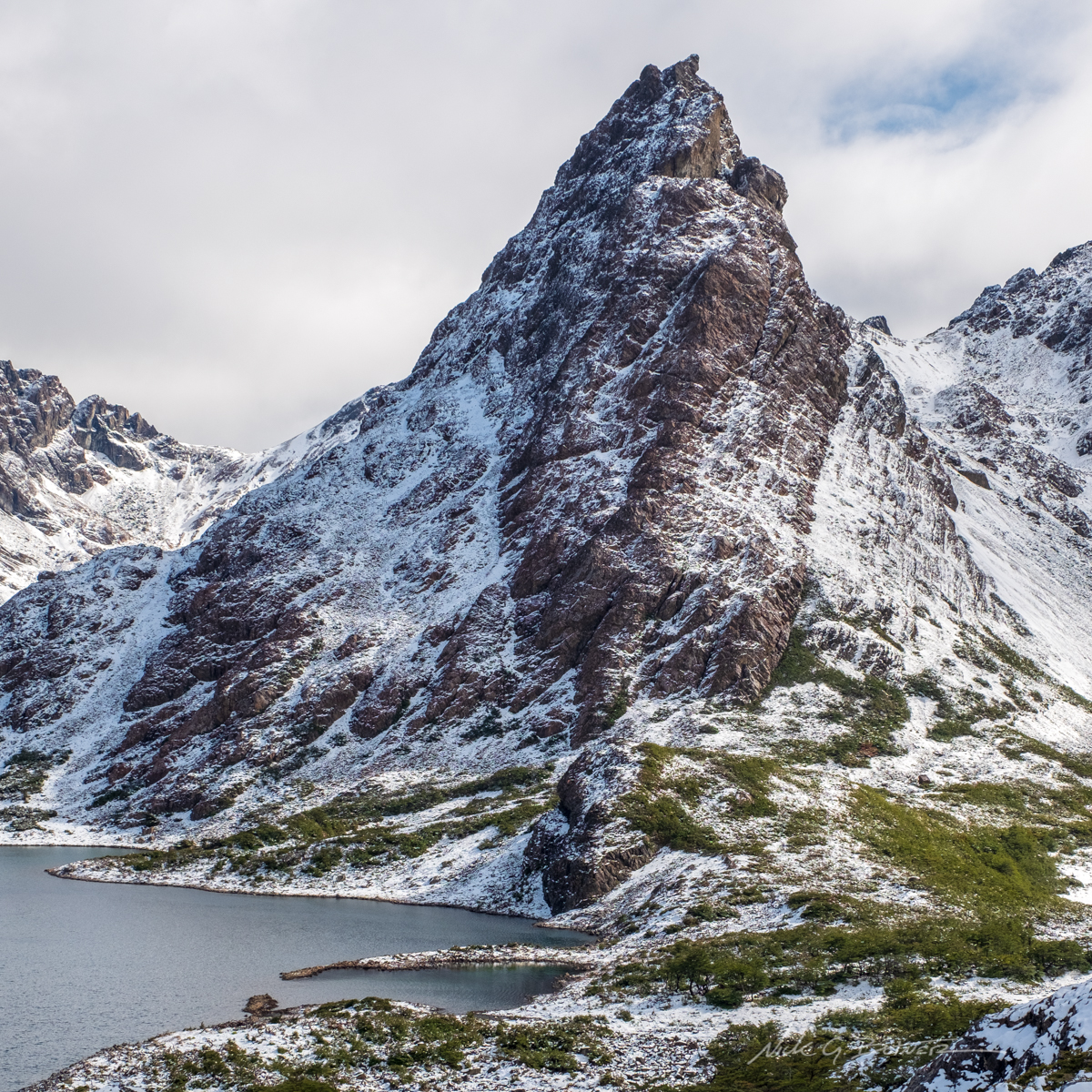
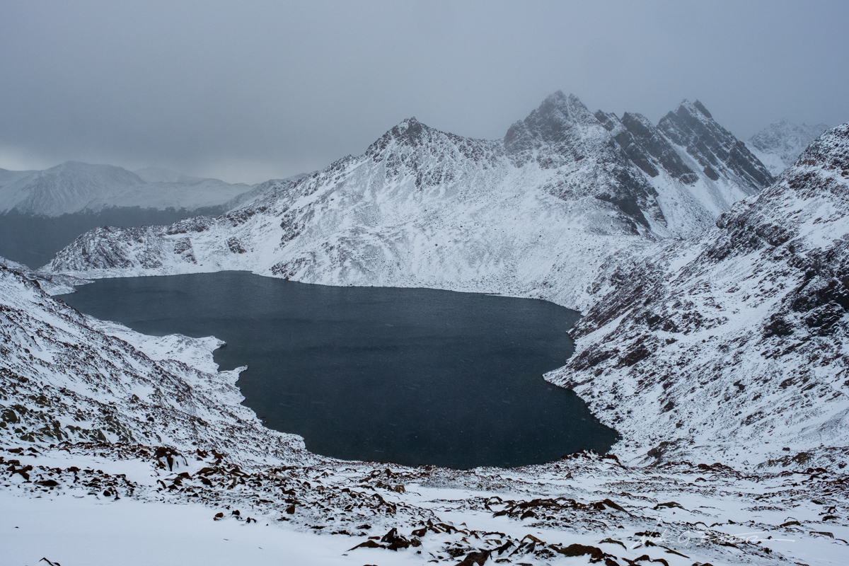
Further along, as we rounded the corner, we got our first look at Cerro Gabriel.
![]()
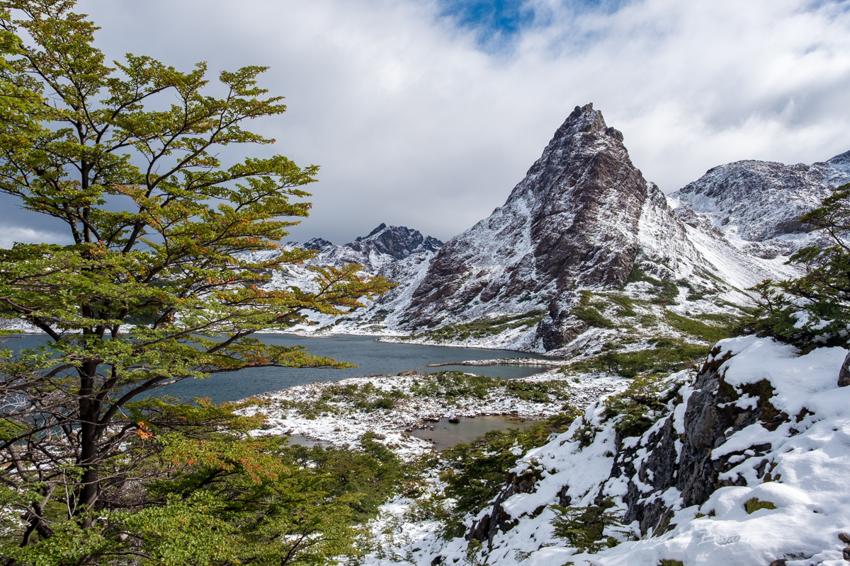
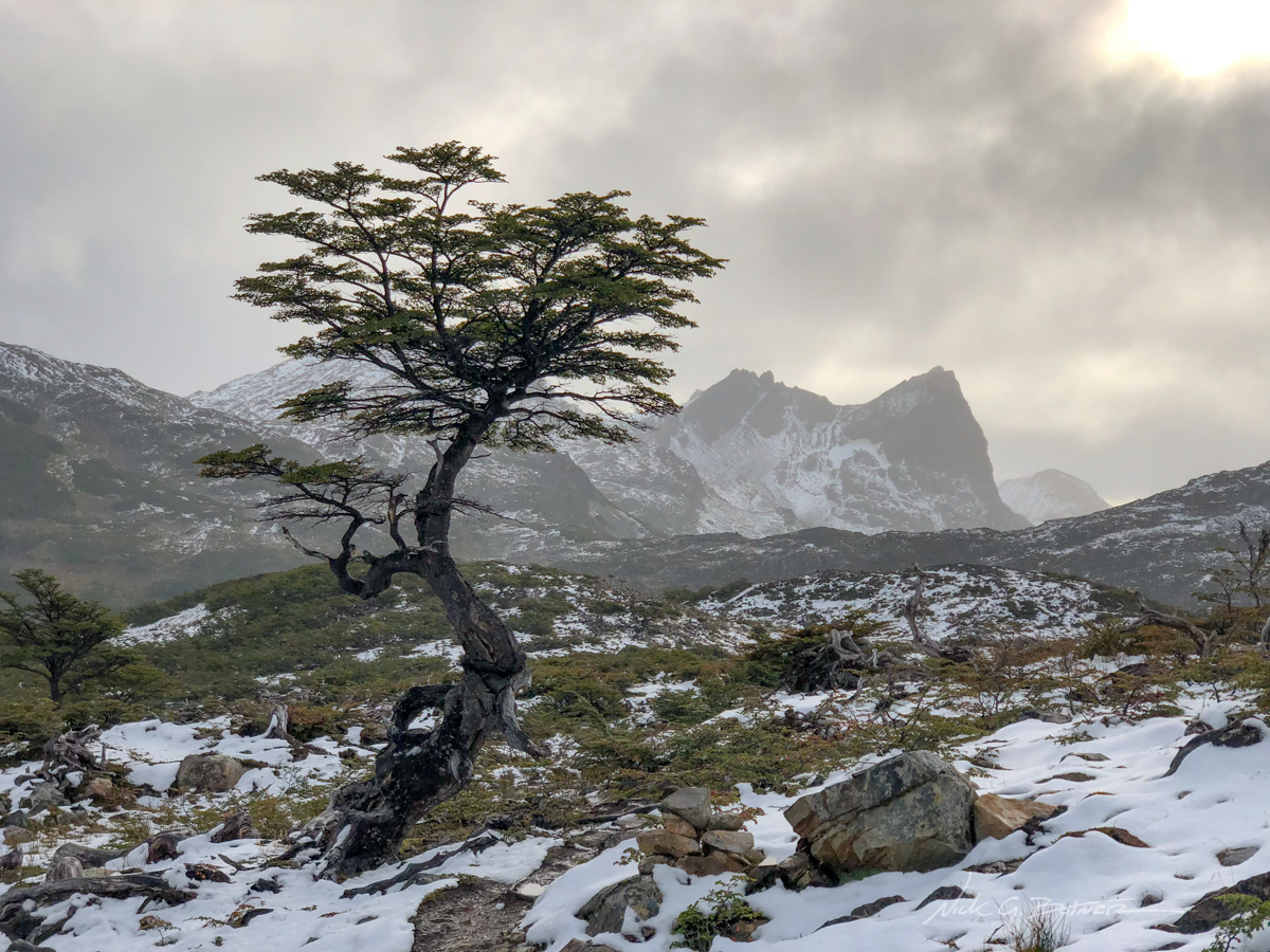
Cerro Gabriel looming over Laguna de los Dientes with a Lenga tree in the foreground.
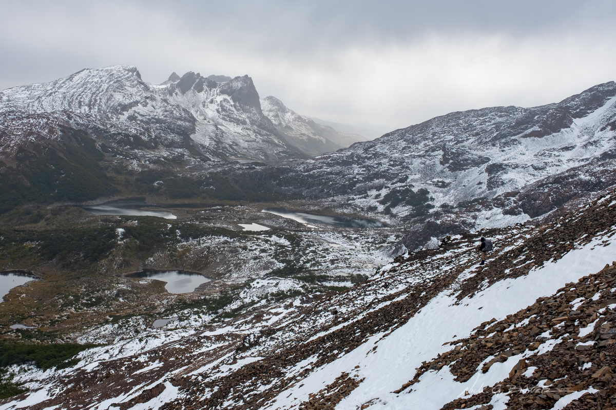
From here it becomes a bit of a grind. We need to make it around the lake and then up to another lake, Laguna Escondida. It took us 6hrs to get to Escondida, that’s 2hrs more than normal thanks to all the trail breaking we had to do. Escondida was supposed to be where we camped for night two, but because of the storm we needed to push on. So we quickly ate some lunch, said goodbye to Victor, and pressed on for who knows how long. The goal was to hike another 4hrs of daylight and make camp at the next suitable site. But we have a couple more passes to cross in this journey.
![]()
We made it over and are now making our way down Paso Ventarron. Jen takes a moment to admire Cerro Clem in the distance. Our goal would be to camp at a lake at the base of the mountain which is currently out of sight due to more mountains in the way.
![]()
A lone Lenga tree somehow survives the onslaught of carnage created by the invasive north american beaver.
![]()
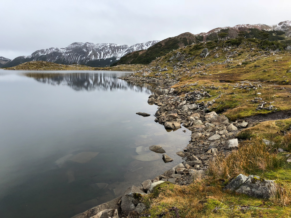
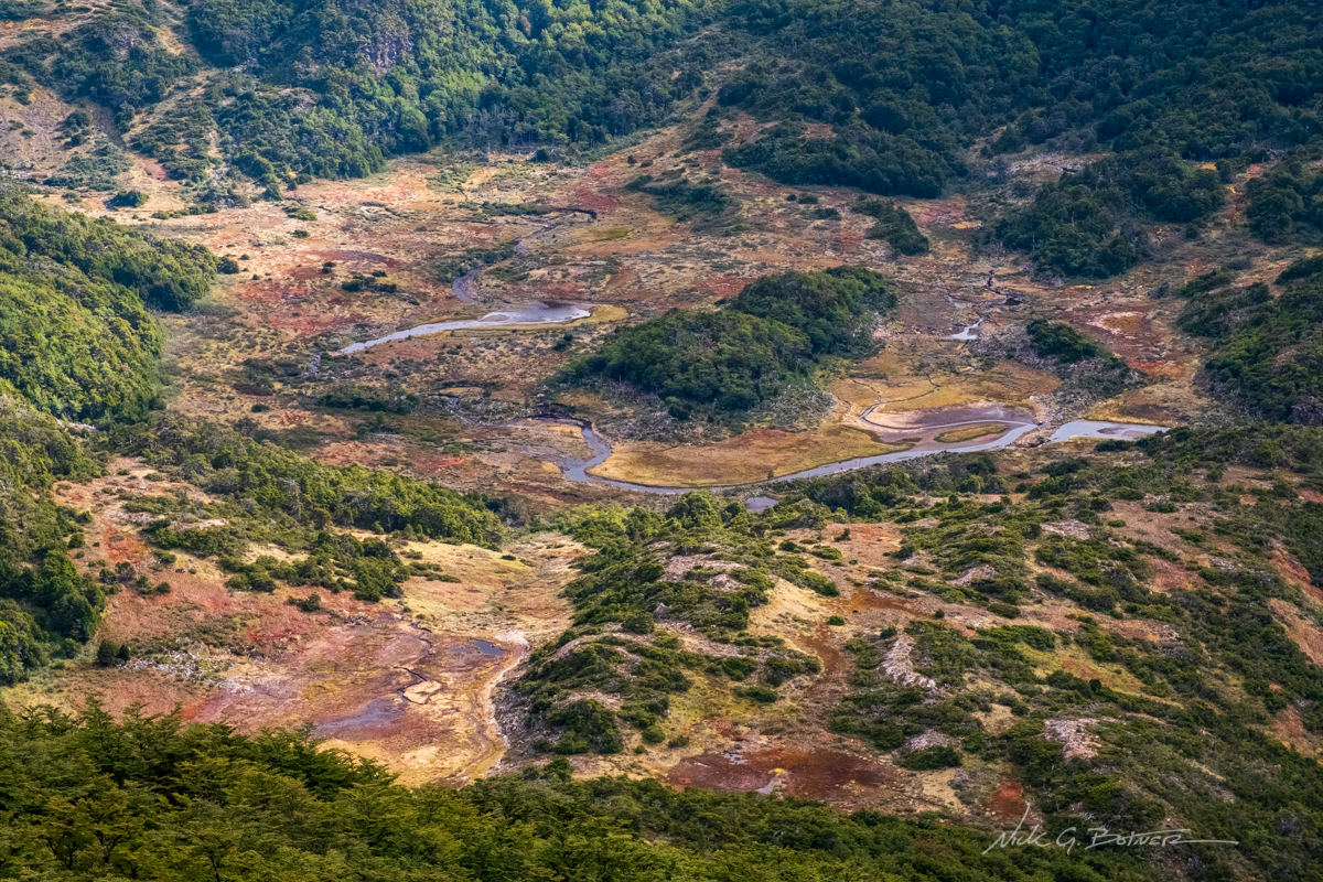
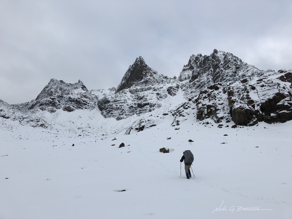
In between passes, we make our way through a bog and along these no-name lakes.
![]()
We need to press on, but I can’t help taking a moment to look back and take a photo of the pass we just came down.
![]()
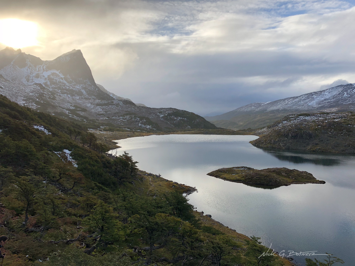
We are making good time. We have just made our way over Paso de Guerrico and are skirting our way along Laguna Hermosa. The goal is to make it pass this lake and then down a few hundred feet more to the next lake.
![]()
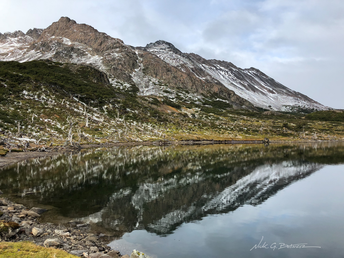
Looking back on Laguna Hermosa with Paso Ventarron in the far distance.
![]()
Success! We have made it to Laguna Martillo and even found a campsite that wasn’t either wet, rocky, rooted or on a 30 degree slope. It’s time to relax for 20min before night falls and recap the 10mi day.
![]()
Good morning everyone. It’s snowing again. But we are low enough that it melts on contact. We actually slept in today hoping the snow would stop. It didn’t.
![]()
I didn’t take many photos as this was the majority of my view.
![]()
But the good news is that we need to go over that pass. Which is supposed to be the hardest pass of the whole circuit.
![]()
Yeah, going over that pass sucked hard. What you are looking at is the backside of Paso Virgina as seen from Laguna los Gunacos. It’s 1000ft of steep loose scree with an iced out cornice of a rim. I was so exhausted I slipped and broke my gopro monopod at one point. But made it all the way down without injury.
![]()
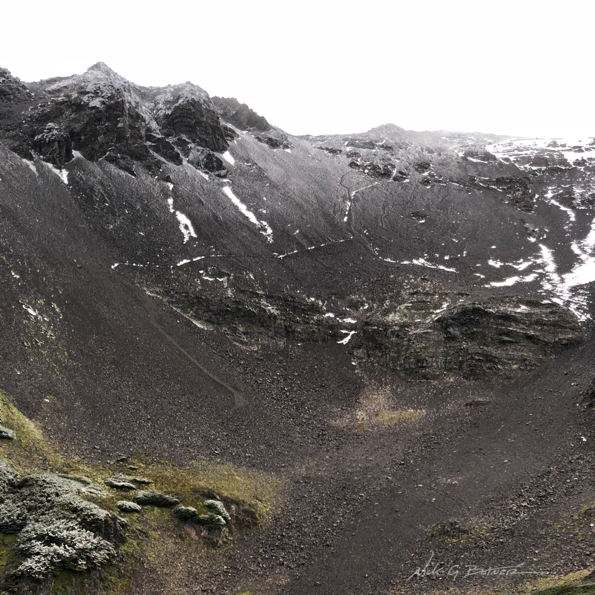
Here’s a bit of a closeup of the route. Some parts are so loose you slide 3ft with every step down.
Story time! We were supposed to camp at the lake. We cooked a meal, enjoyed the sights, I spent 20min cleaning a primitive campsite on the backside of the hill. But when it came time to set up the tent, another storm decided to push in, and it was a nasty one. Failing to set up the tent at multiple locations, Jen and I looked up at each other and knew we had to bail on the site and make a run for the next site. The next site was 20min down the mountain and we had 30min of daylight left. So we stuffed all our crap and hauled ass down the mountain, sliding, falling cursing as we went. It’s also worth noting that the wind was so strong that it turned the placid lake into 2ft of surf by the time we left.
![]()

Good morning everyone! We made it to the next campsite in the safety of a Lenga forest. Something to note, there was no snow at this location when we arrived at nightfall. The storm was rather nasty, but the trees protected us and we got a good night’s sleep.
![]()
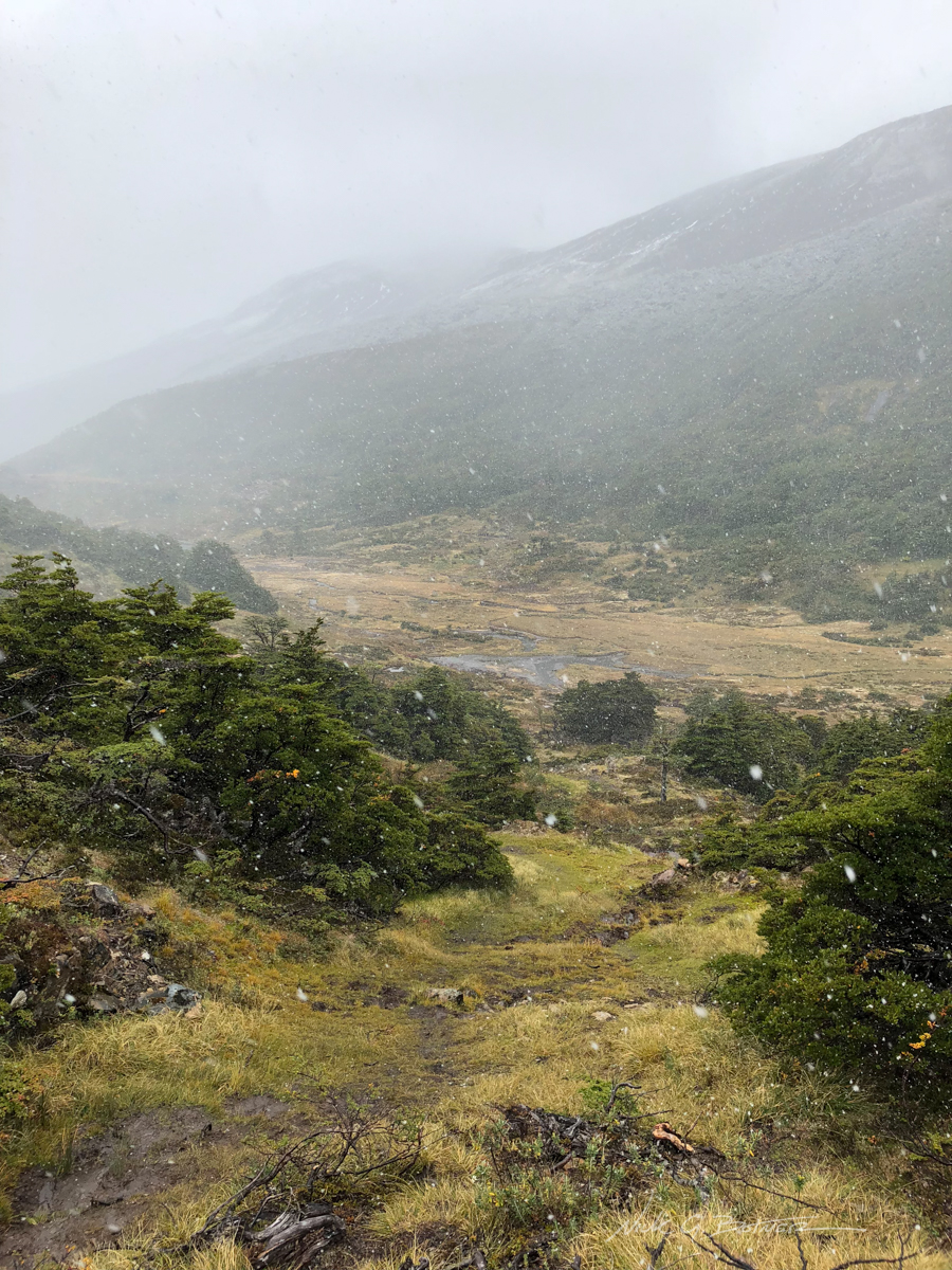
We are all packed and ready to get the heck out of here. Just two hours of route finding our way out of beaver bogs and cattle dung and we get to walk on a dirt road for a few more hours. YES! We are actually very stoked at this point and are wondering how much beer I will be able to drink without getting kicked out of the hotel.
![]()
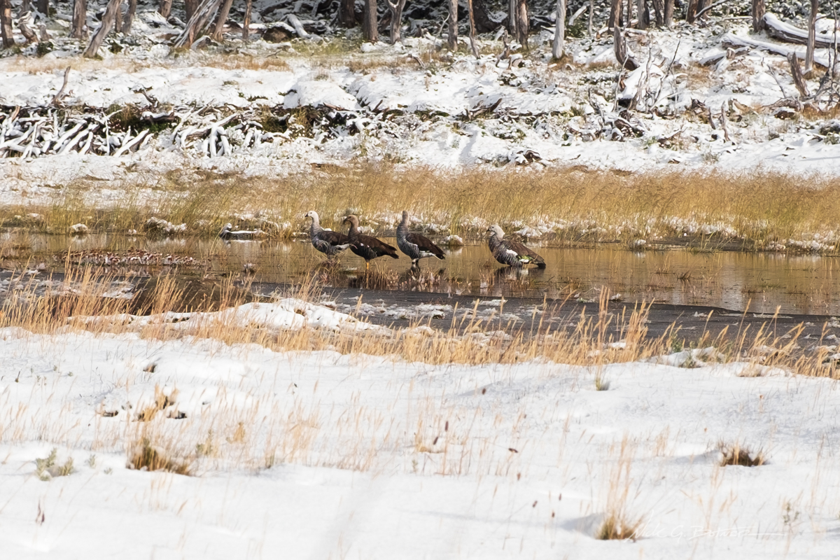
Geese enjoying the calm after the storm.
![]()
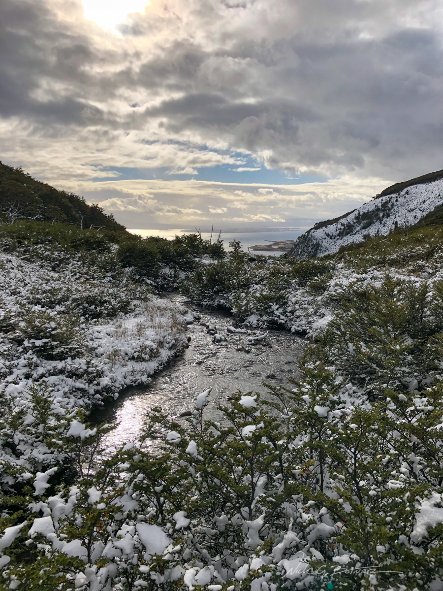
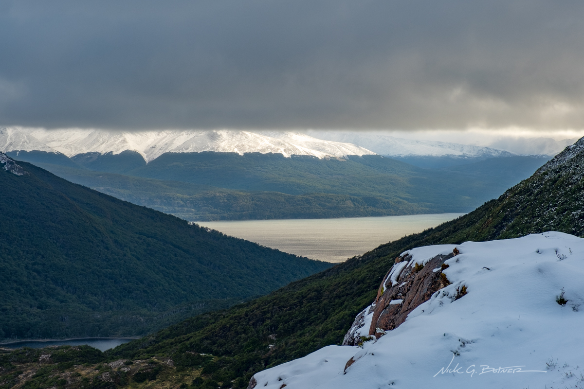
Almost through the bog, we get our first glimpse of the Beagle Channel.
![]()
Annnnnd we made it to the road. Now it’s time for a nice long walk back into town.
![]()
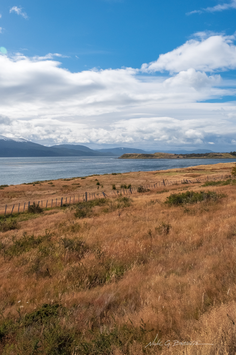
Tierra del Fuego and the Beagle Channel.
![]()
At least there are some views on your 2hr roadside stroll.
![]()
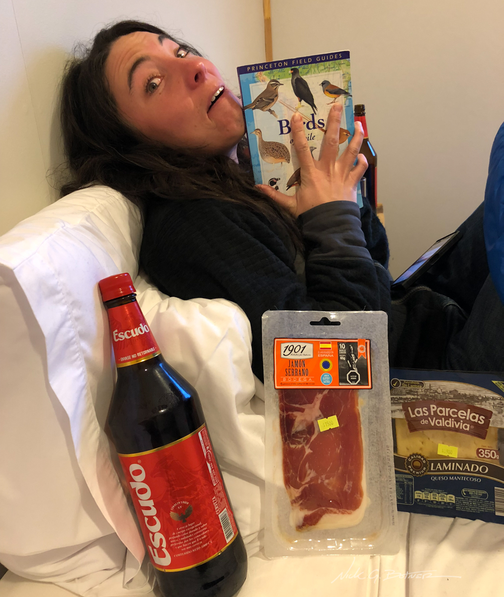
Back at the hotel, Fio Fio. We overindulge ourselves.
![]()
Of course the day we pack out the weather is beautiful.
![]()
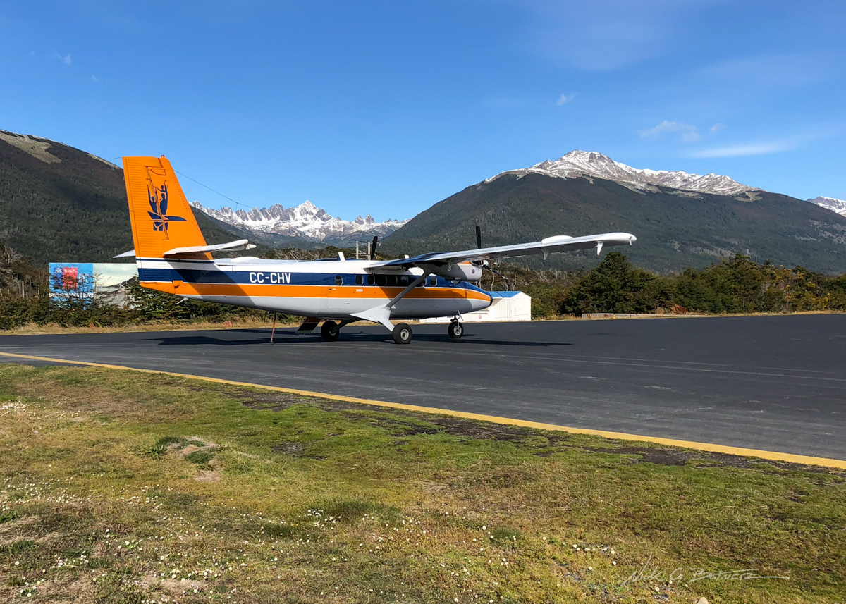
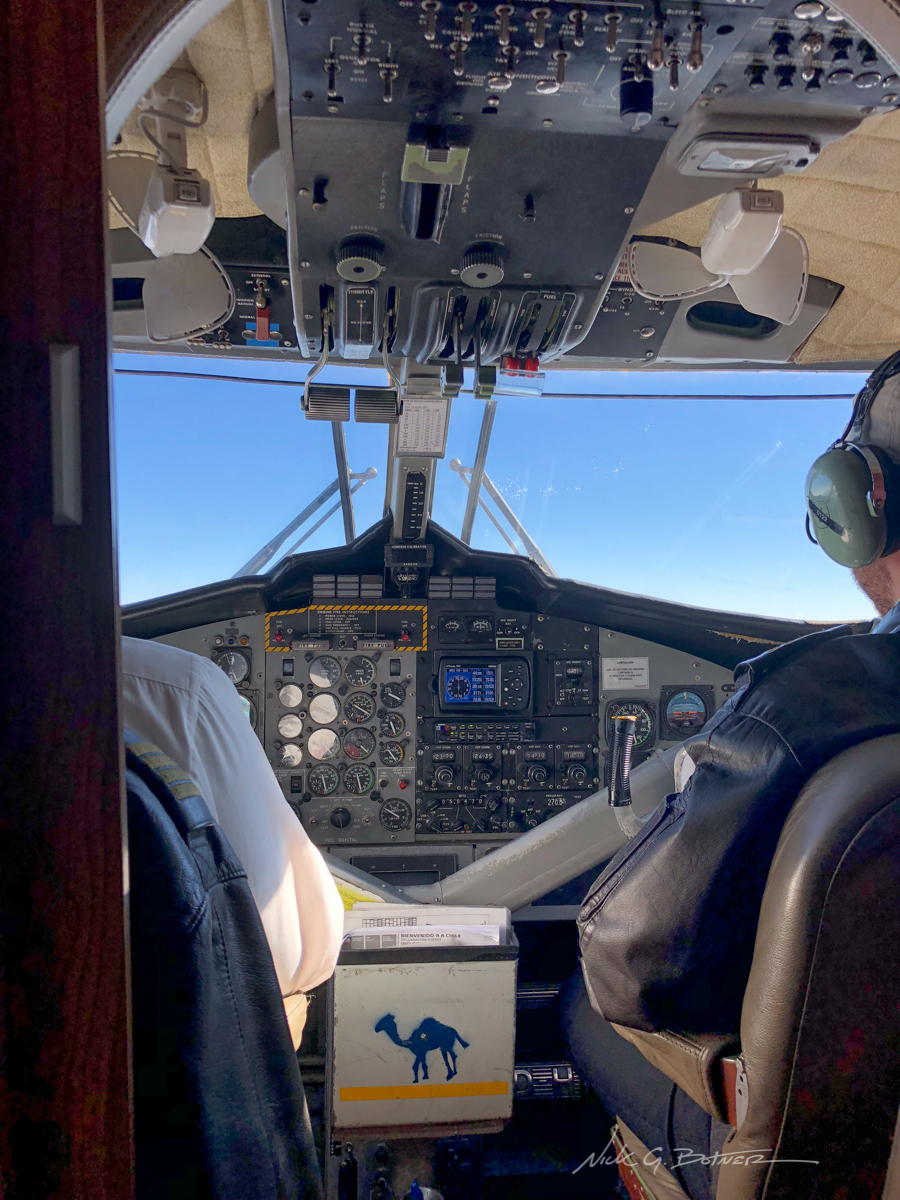
Time to hop on that twin otter and head for Punta Arenas.
![]()
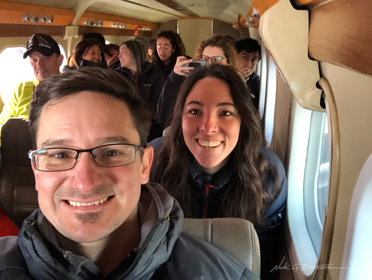
It’s a lot smaller inside.
![]()
Goodbye Dientes. It’s been a lot of fun.
![]()
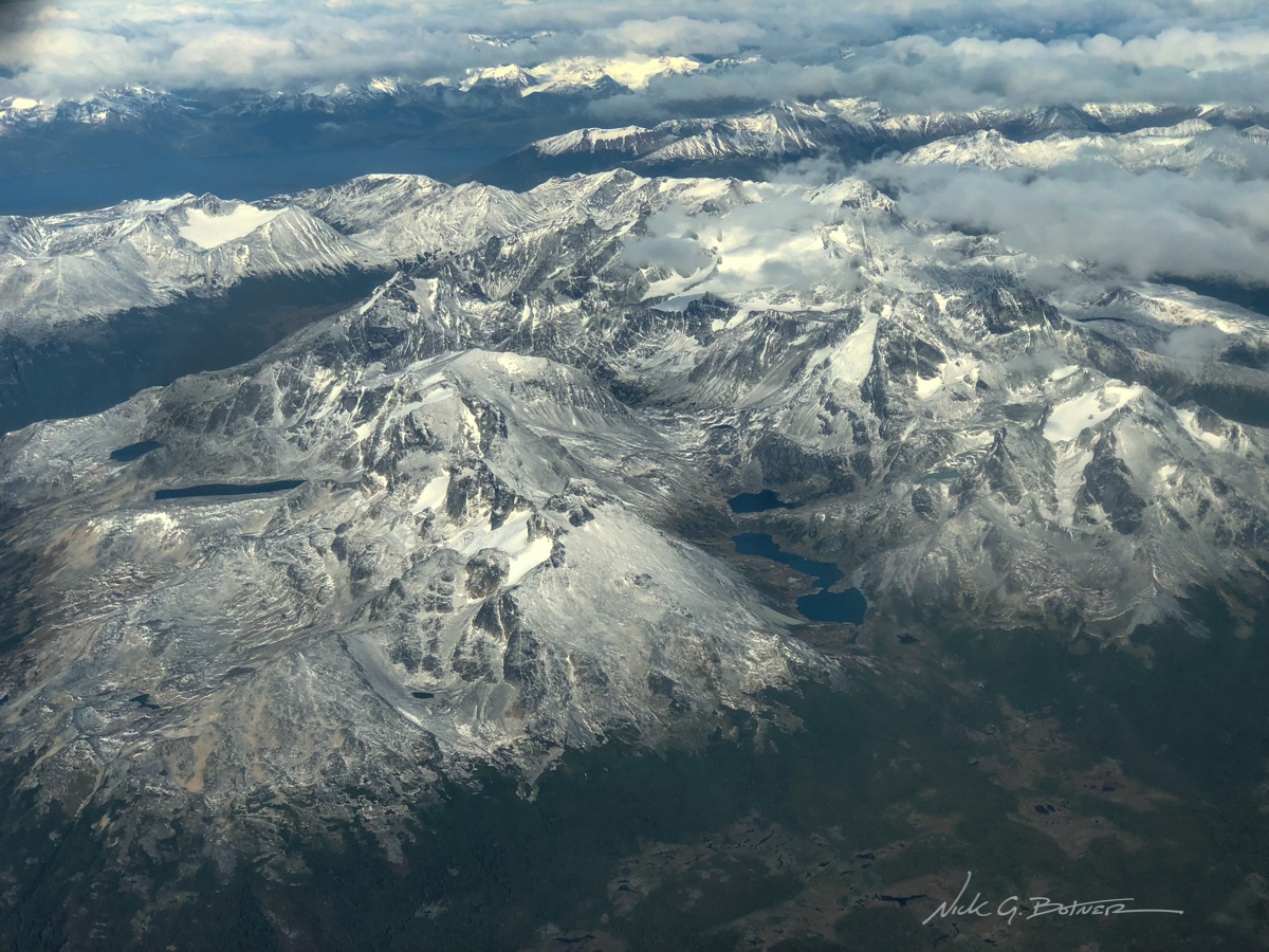
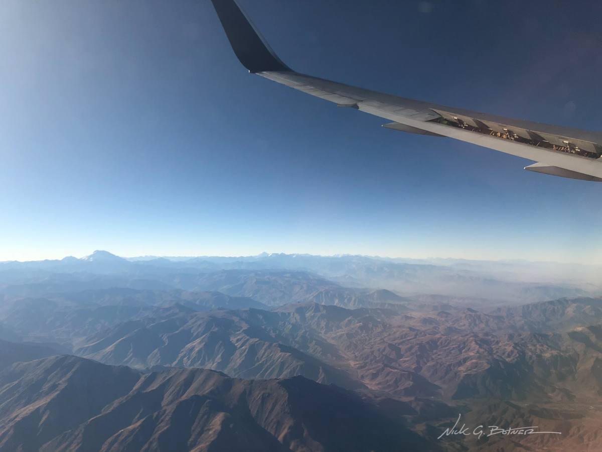
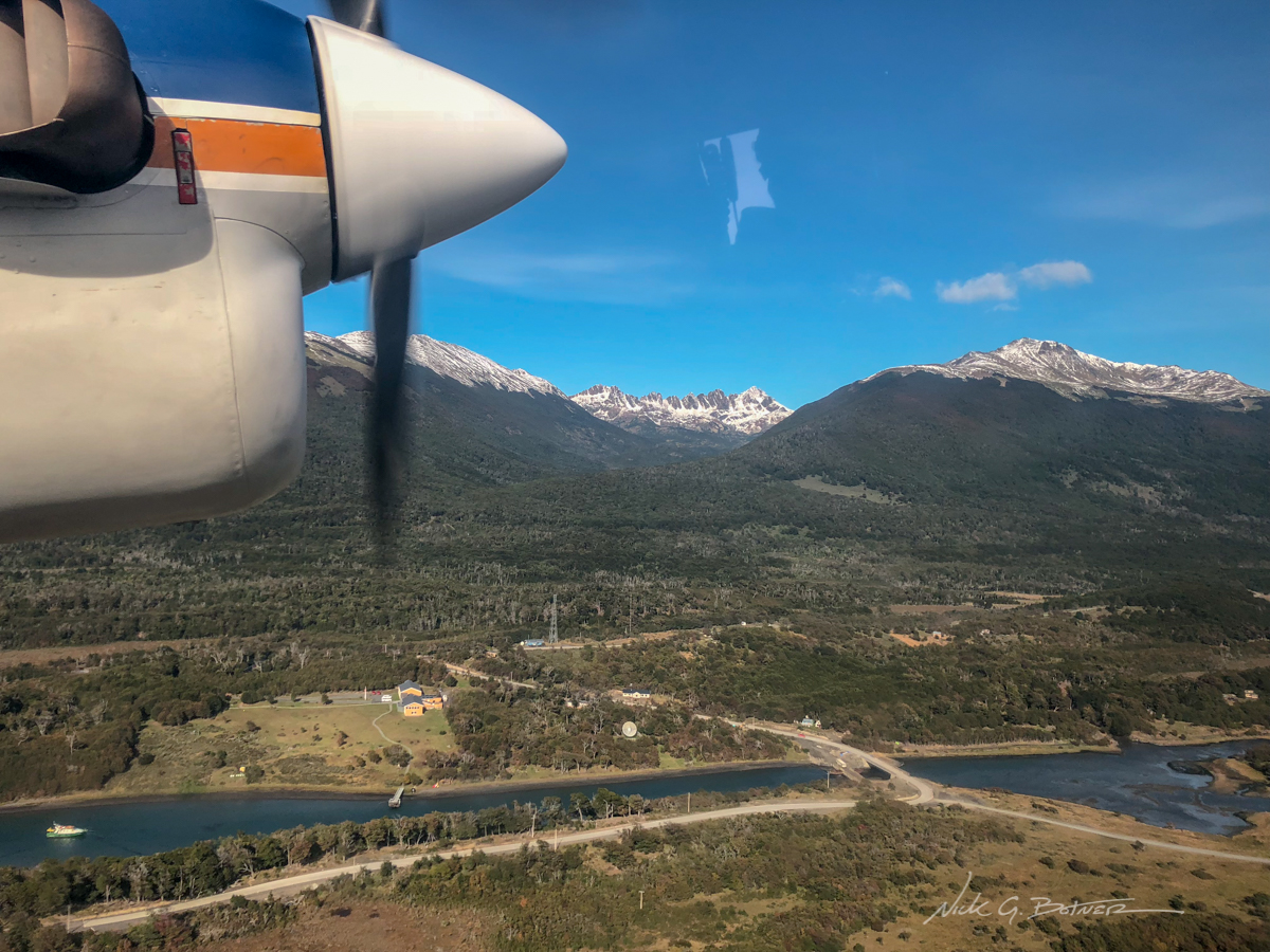
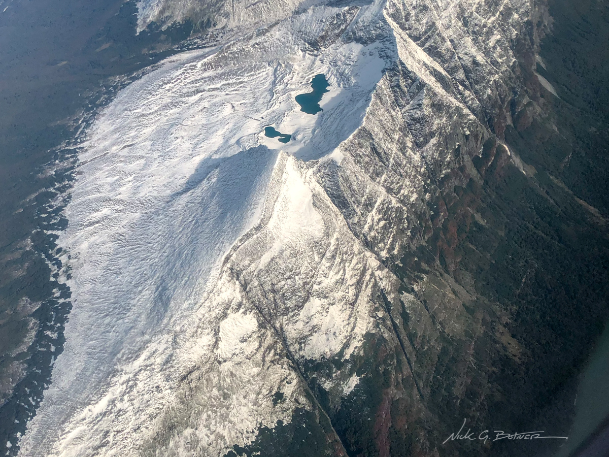
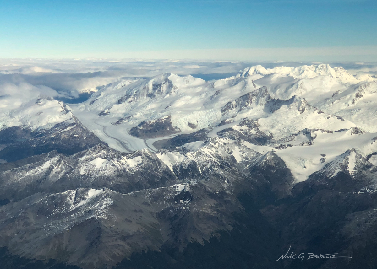
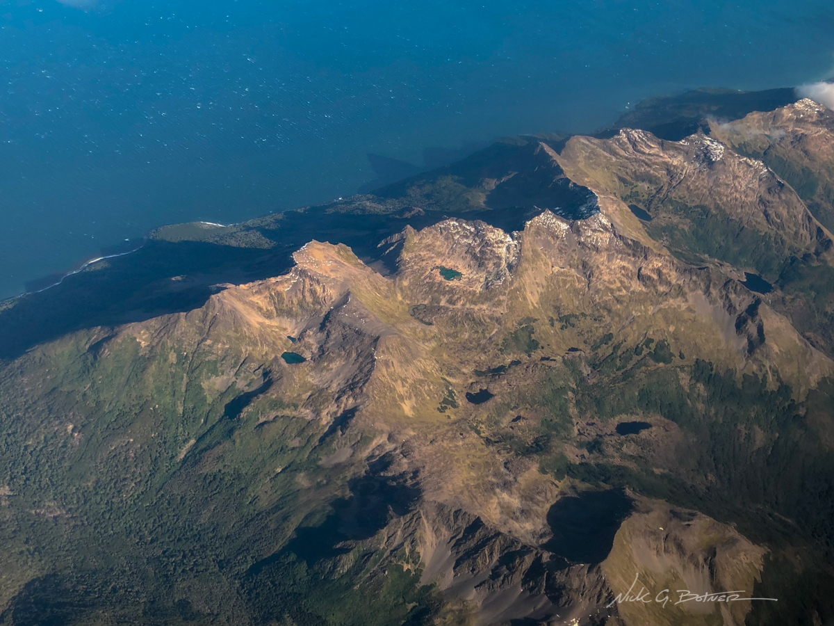
Flying low, the mountains really put on a show for the 1hr flight to Punta Arenas.
![]()
![]()
![]()
![]()
Literally the view from where I am sitting.
![]()
Making our way to Cochamo
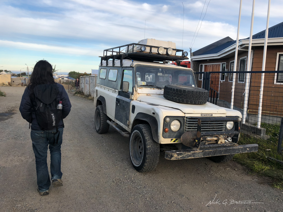
Walking back to the Hostel after an early dinner. Jen and I were only stopping over in Punta Arenas for one night before heading North to the Lakes District in middle Chile.
![]()
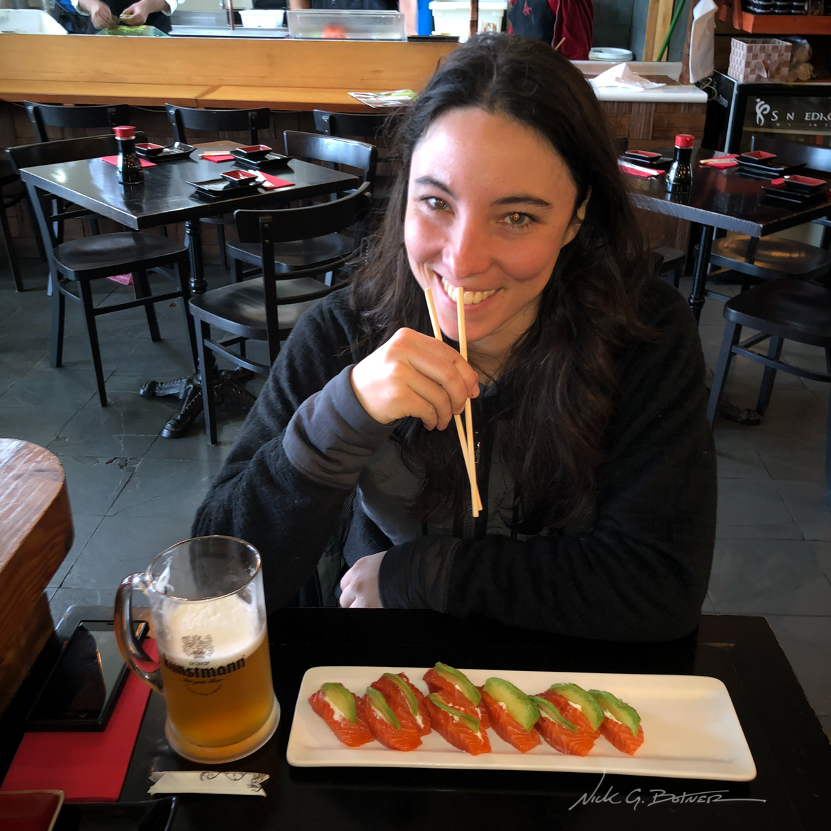
We spent a night in Puerto Montt. Of course we went to a sushi restaurant. Of course all they have is Salmon, Tuna, King Crab and Avocado.
![]()
Cochamo and La Junta
When we flew into Puerto Montt, I rented a car and we drove out a few hours to Cochamo. The plan was to stay at this Estancia/Lodge type place and if the weather was permitting backpack out to La Junta for a night and summit a mountain. Unfortunately the rain was really coming down so we ended up being cozy for a couple days waiting for a break in the weather.
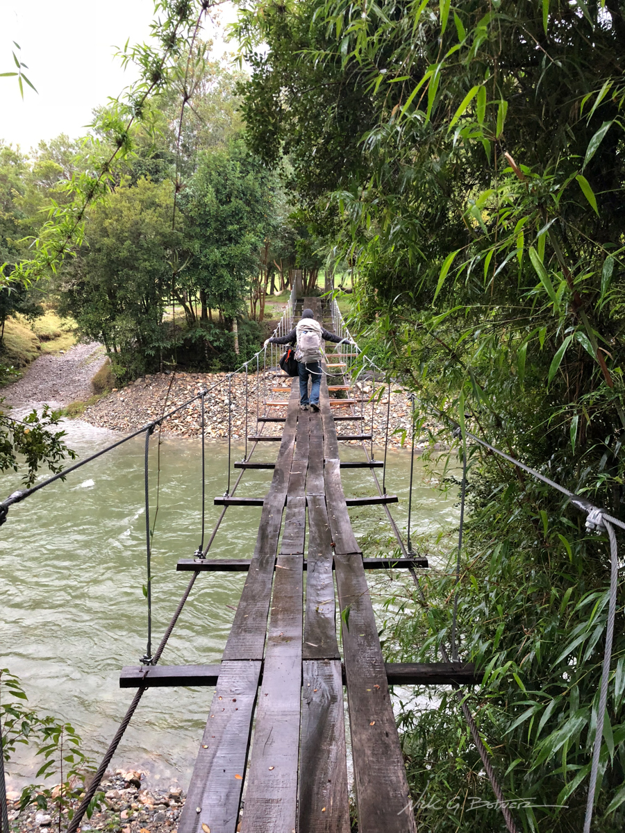
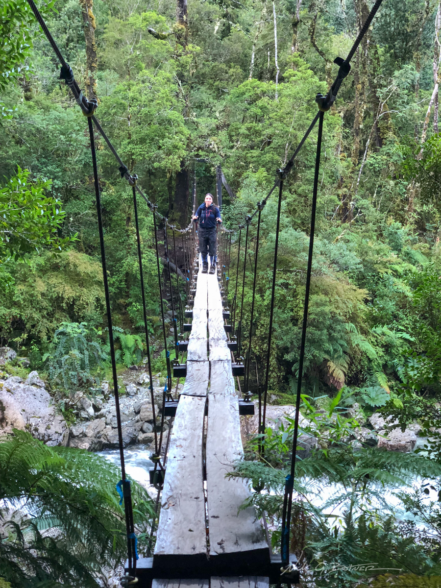
To get to the place where we were staying, you needed to cross this dodgy suspension bridge and then walk a few hundred meters.
![]()
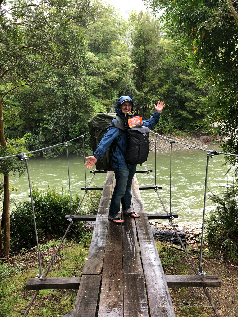
Packing in a six pack, someone has his priorities straight.
![]()
Back in the town of Cochamo, we had a slight break from the rain as we were exploring and looking for birds.
![]()
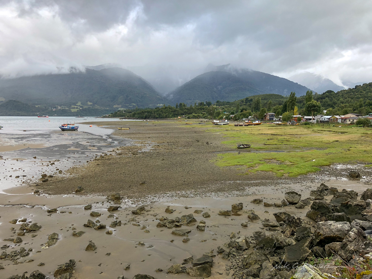
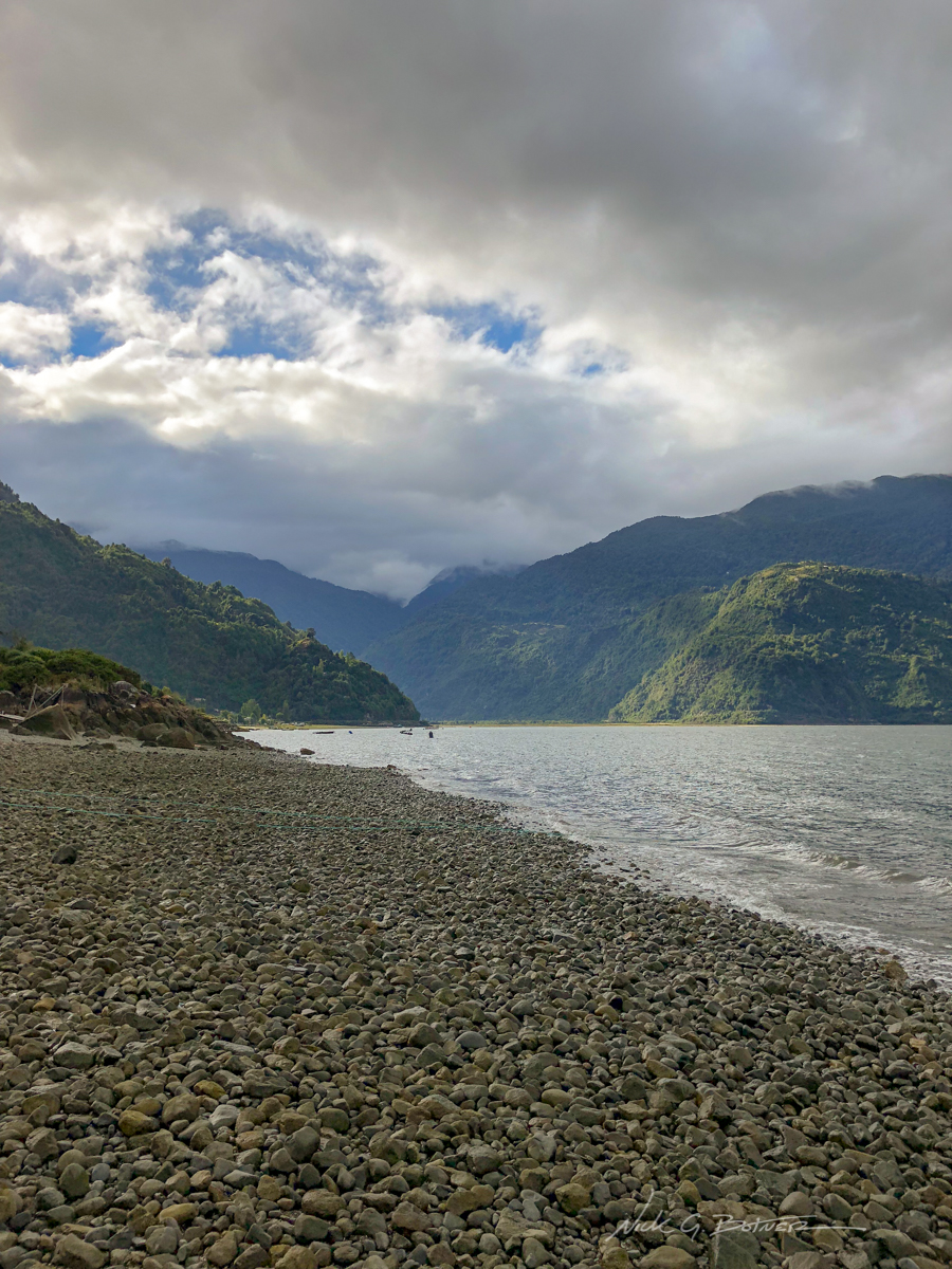
Low tide on the shores of Cochamo.
![]()
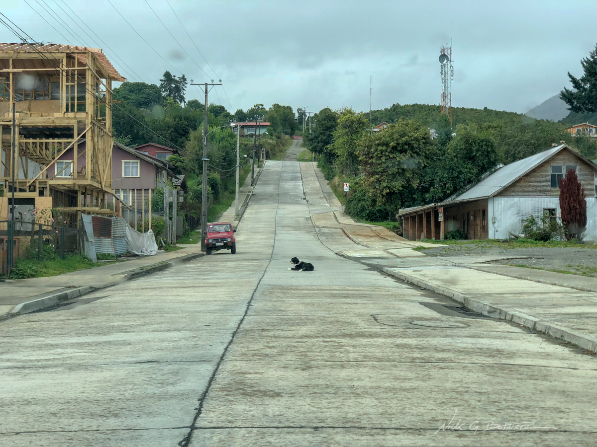
Small town dogs love to lay down in the MIDDLE of roads. With the way locals drive, I’m surprised these pups are still around.
![]()
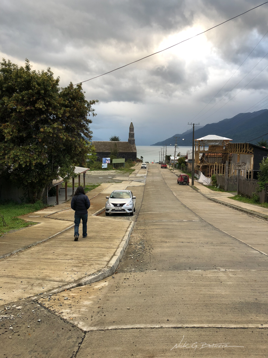
The streets of Cochamo and it’s tallest building, the church.
![]()
Back at our place, things are starting to dry out a little.
![]()
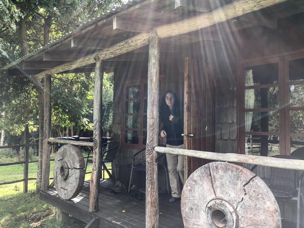
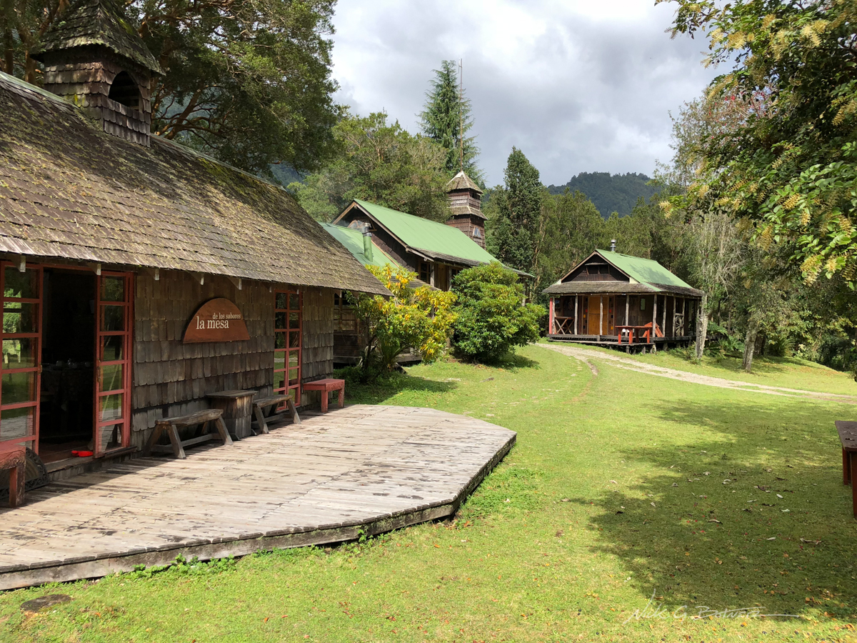
The bungalow where we were staying. Jen comes running out because she thinks I am looking at birds without her.
![]()
Day Hike to La Junta
We had one day of decent weather so Jen and I booked it out to La Junta to take in the sights and see what all the fuss was about.
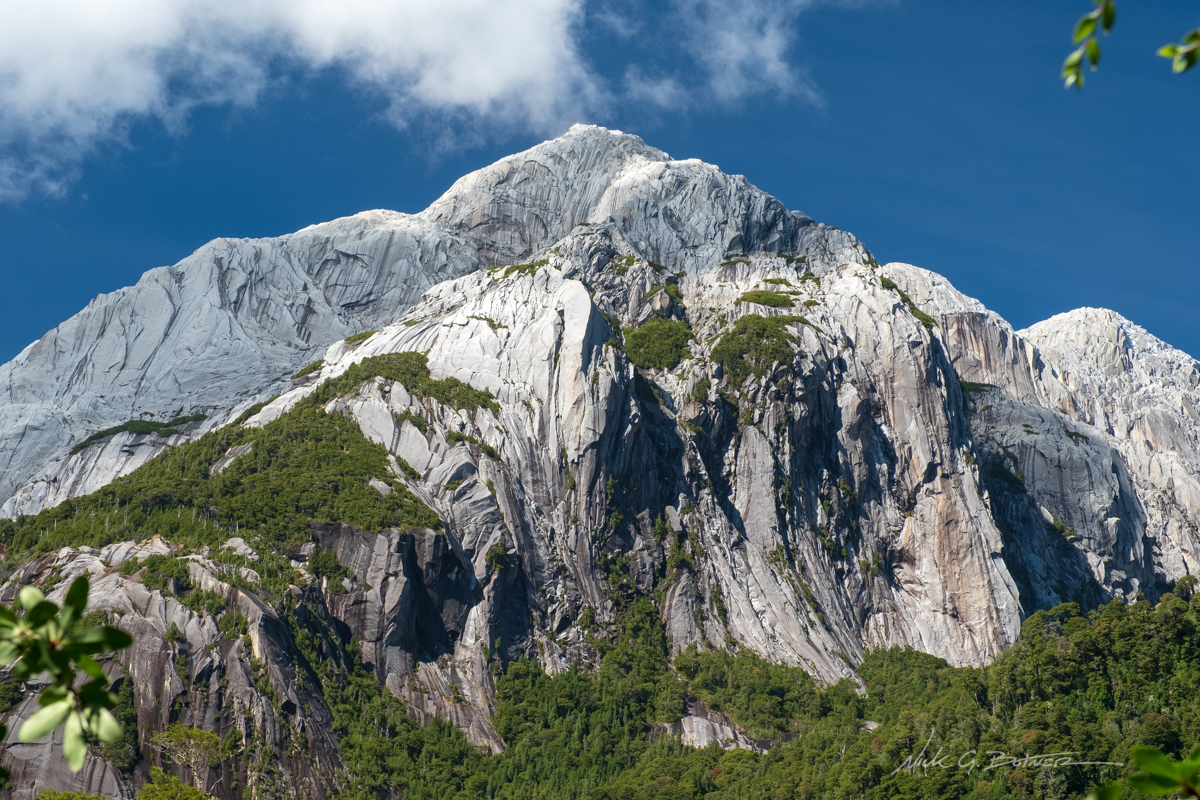
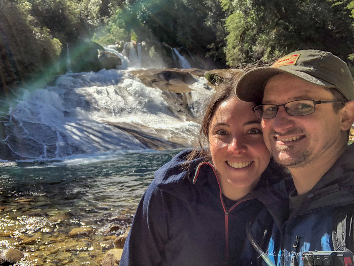
First closeup view of what we were in for.
![]()
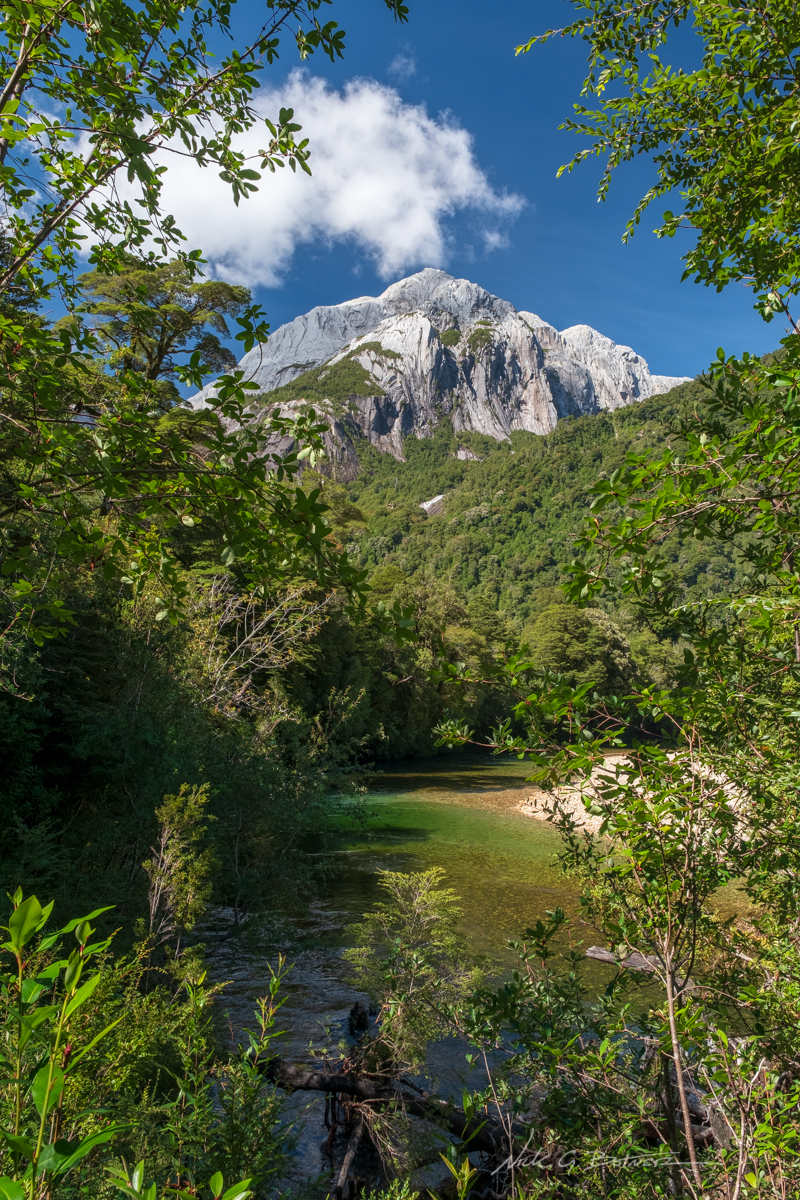
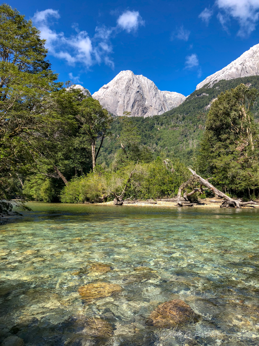
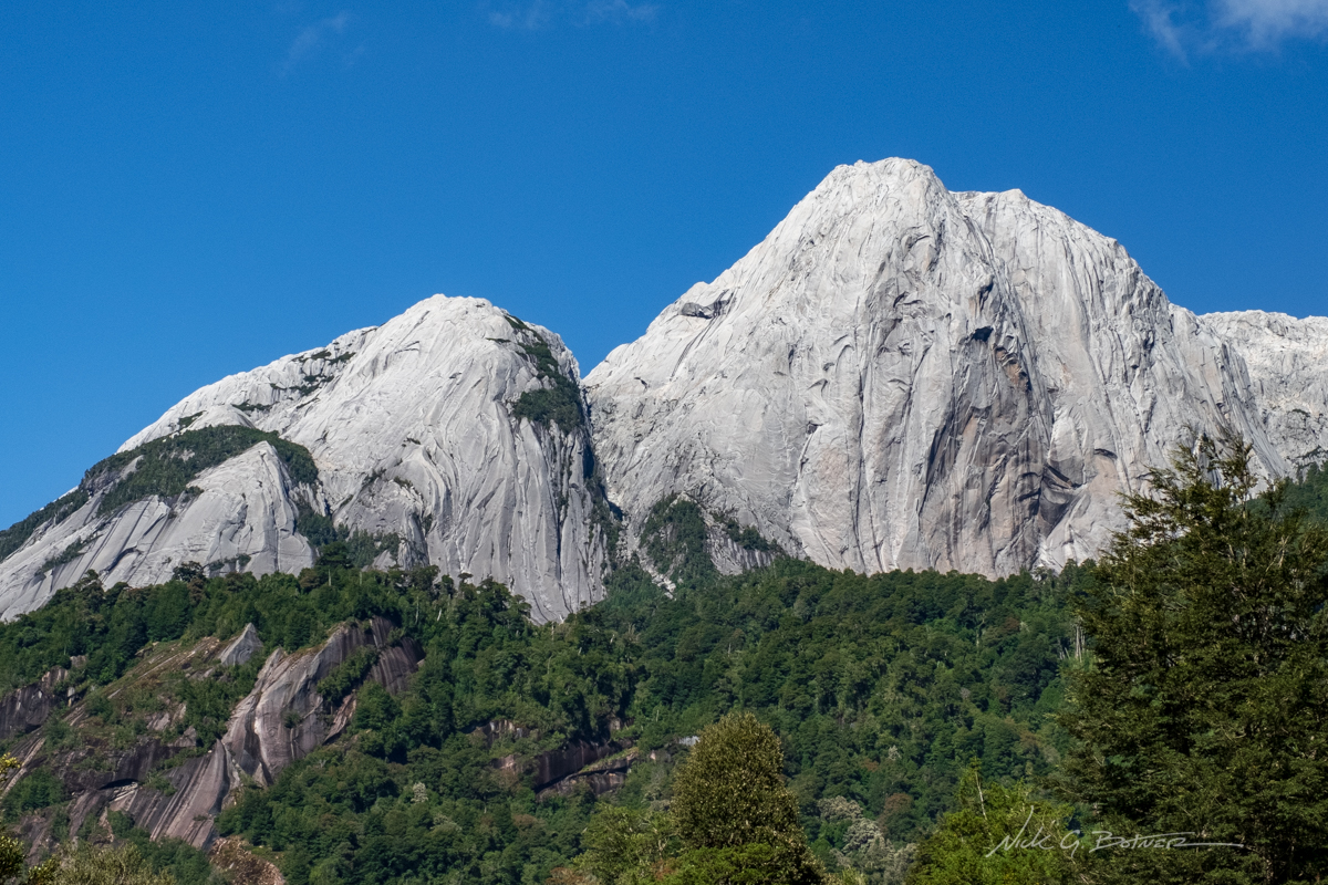
Sheer white granite mountains peak out over the canopy as we follow the trail along Rio Cochamo.
![]()
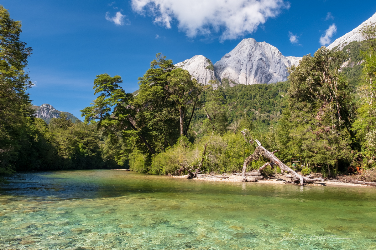
Rio Cochamo and Cerro Trinidad.
![]()
It might not look like it, but the water is freezing cold.
![]()
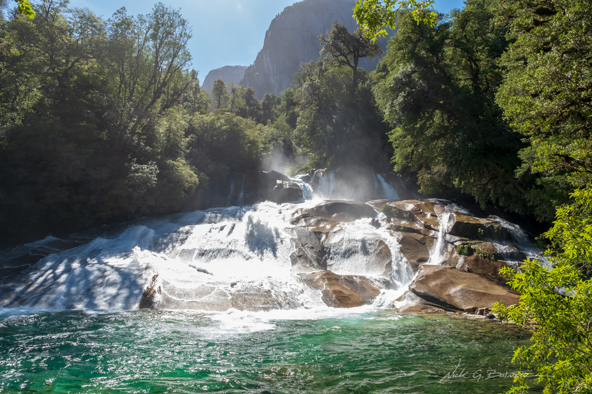
We didn’t have time to summit any mountains, so we forded a river and took in the sights of Toboganes Waterfall.
![]()
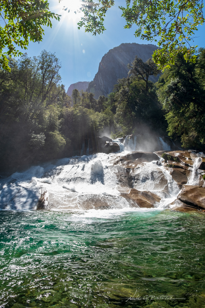
![]()
Supposedly in the middle of summer, you can tolerate the freezing cold water and slide down parts of this waterfall.
![]()
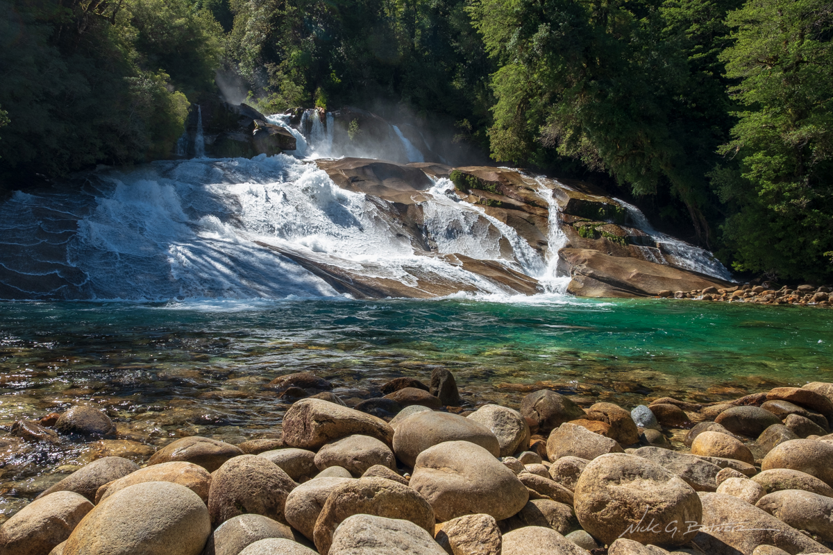
Jen and I enjoyed our lunch and never had a single person stop by.
![]()
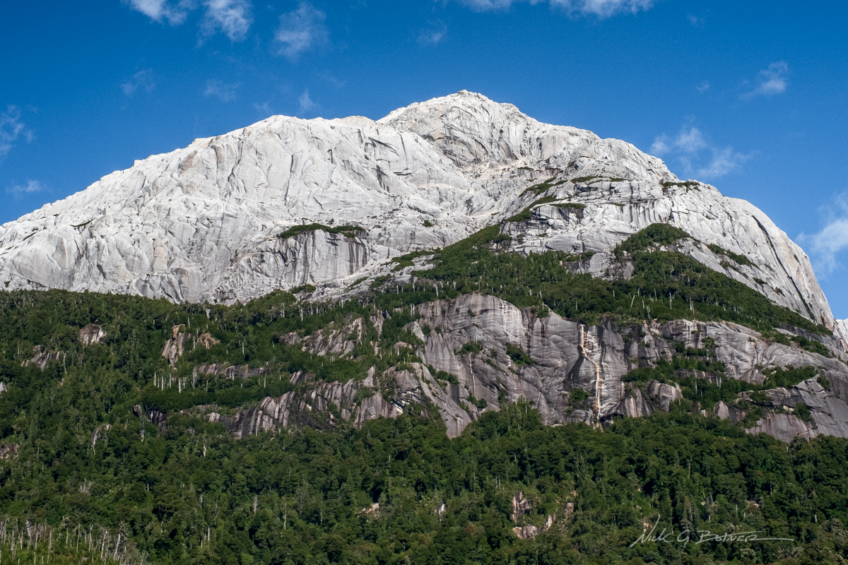
Back from the waterfall, it was time to take a few more photos before heading home. This is Cerro Trinidad.
![]()
Cerro Laguna.
![]()
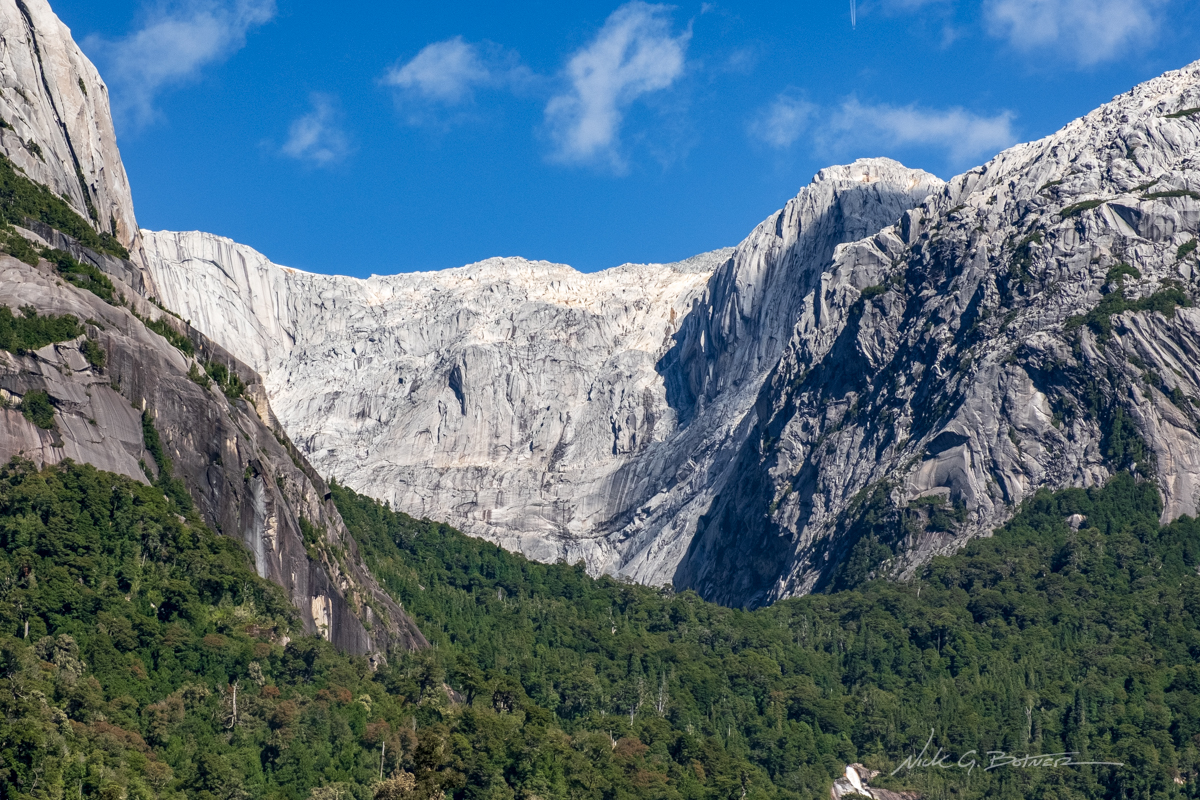
And I believe this magical bowl of granite is called the Anfiteatro where you can hike up into it and be surrounded by glorious granite.
![]()
One of the more sketchy suspension bridges you need to cross to get into and out of La Junta.
![]()
Osorno Obsessions
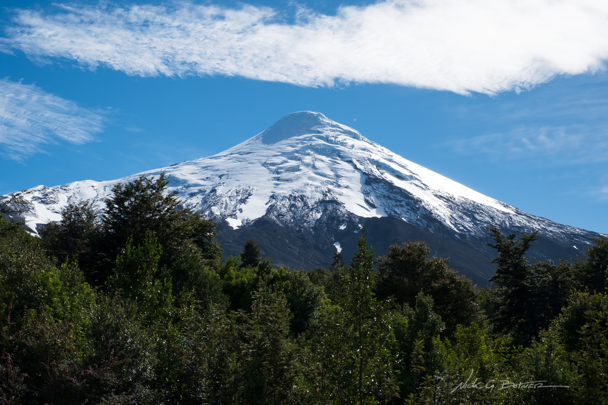
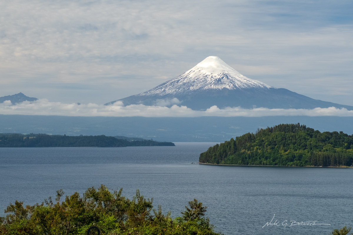
When we flew into Puerto Montt, and I first started driving I instantly saw an amazing volcano in the distance. That volcano was/is Vulcan Osorno. It’s profile rips up from the skyline like a smaller angrier Fuji. Dominating any view from miles around. These next photos are a compilation of my obsession with Osorno. And prove to me that seeing this volcano in person is no match for the camera lenses I brought on this trip.
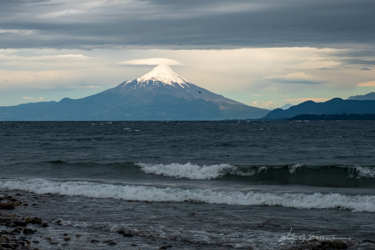
Osorno as seen from the beaches of Puerto Varas on Lago Llanquihue (yan-kee-way). A storm was moving in and our view was quickly removed.
![]()
Osorno as seen from the Informative Dome stop on your drive up to the ski park.
![]()
Osorno as seen from a cow field as you drive around Lago Llanquihue.
![]()
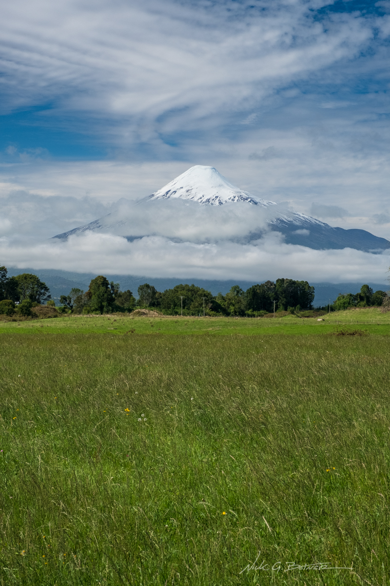
Osorno as seen from a view point just south from Puerto Octay. There is a road that leads to a beach on the peninsula you see in the right of the photo.
![]()
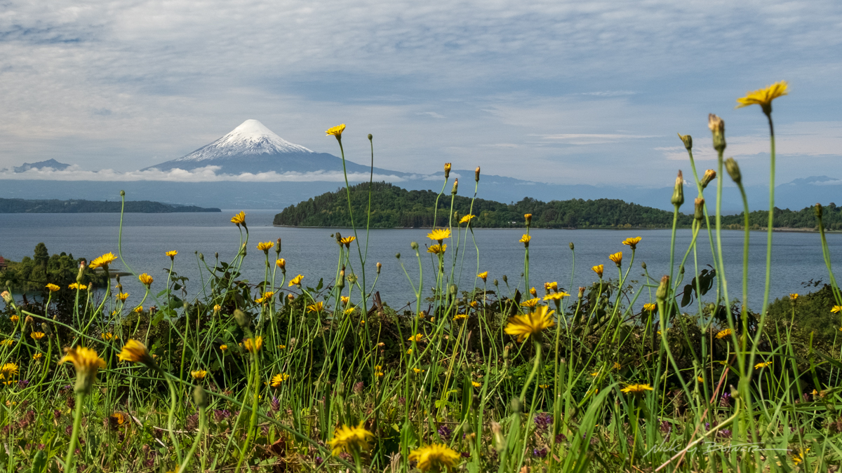
Same location as last, just taken from the ground. Because flowers.
![]()
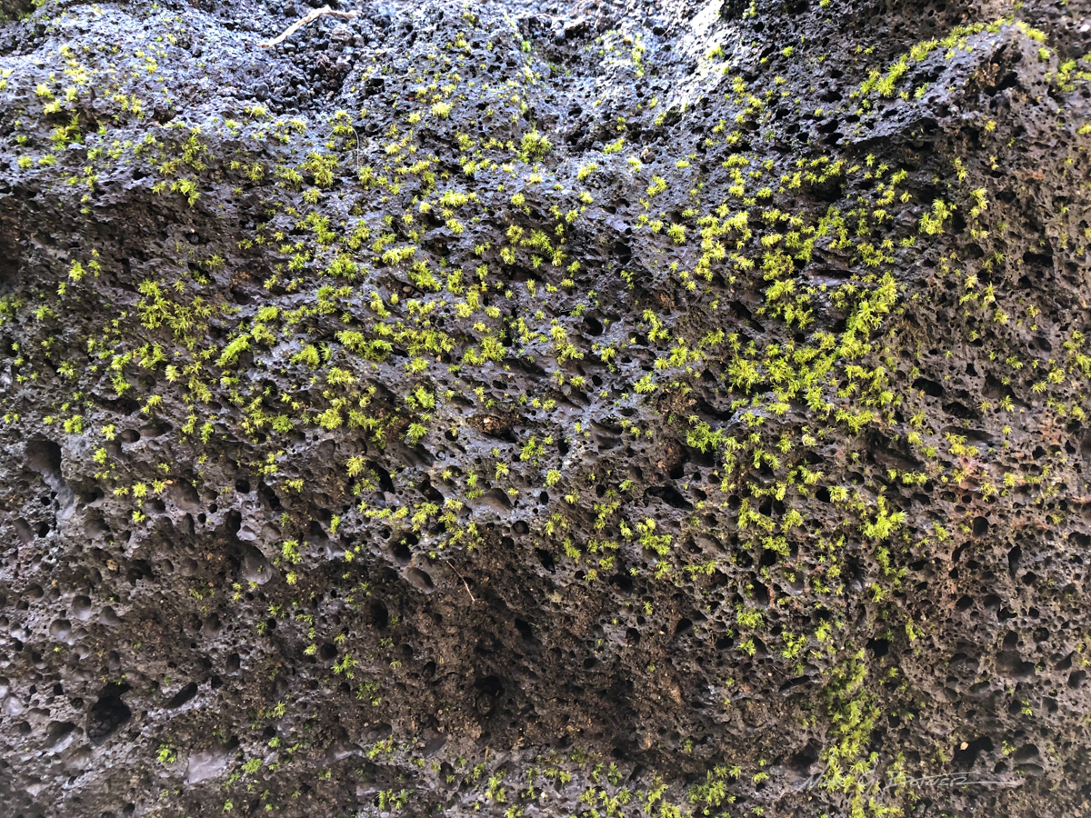
This is actually a shot back from the information dome on the base of Osorno. I’ve never seen lava rock with moss growing on it.
![]()
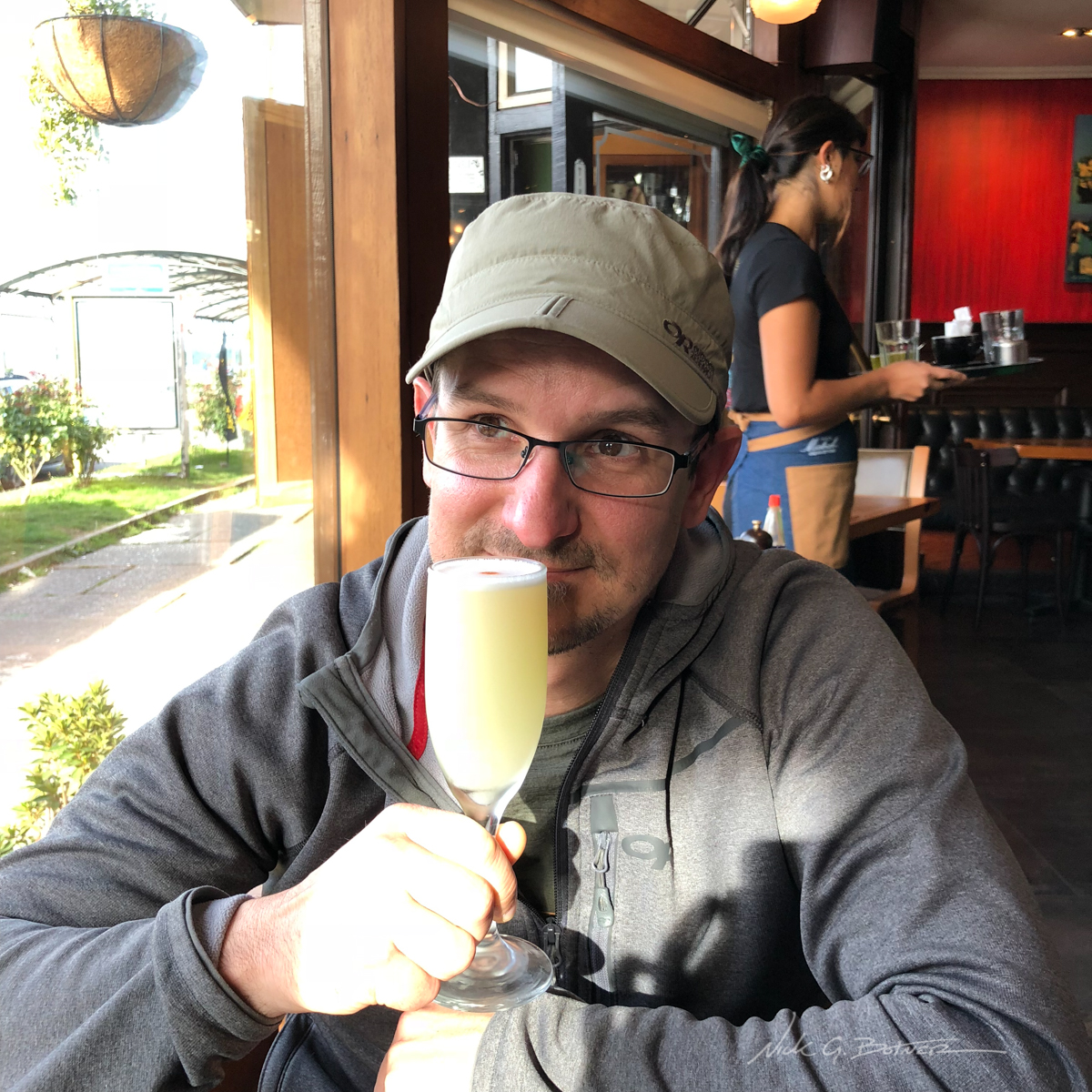
This is a photo of me back in Puerto Varas thinking about Osorno and drinking a delicious Pisco Sour.
![]()
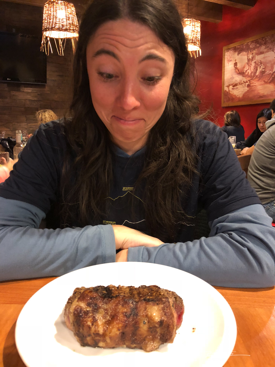
This is a photo of Jen back in Puerto Varas about to eat a steak that’s just as imposing as Vulcan Osorno.
![]()
Chasing Las Torres
If you are familiar with Chile’s geography you realize that Las Torres, or Torres del Paine is south of Cochamo and North of Isla Navarino. To be blunt…we are now in the middle of the two locations we have previously been. Yes, we have spent a lot of time on this trip traveling (backtracking) all over the place. And there is a simple answer for this. We didn’t plan far enough into the future.
This year’s trip included many destinations. But one destination stood out. And that was to hike the O circuit in Chile’s National Park, Torres del Paine. Unfortunately, they recently changed the rules since we were last in Patagonia and you now have to book all of your campsites in order to do the trek. This is why we were so late into the season, nothing was available. This is also why we were flying up and down Chile. We were waiting for our time in the park and it has finally come. Sadly, we were not able to do the O. But, we were able to book the W which is shorted but also the main part of the trek. These remaining photos are our experience in Torres del Paine. And it will live on with us till the day we die.
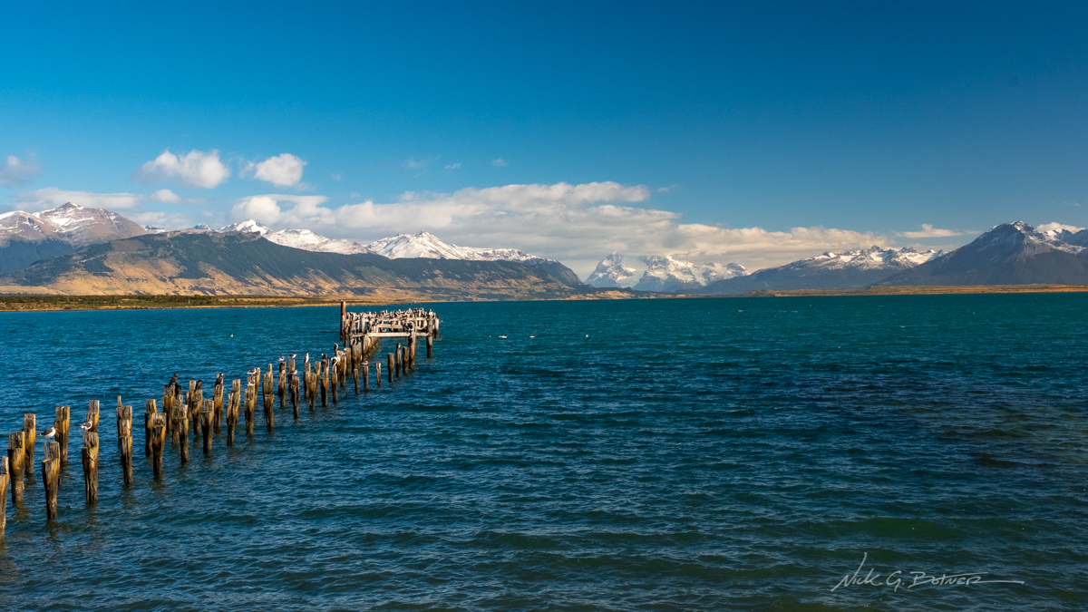
We took a 3hr bus from Punta Arenas to Puerto Natales and spent a couple nights getting ready for the adventure. This photo is taken from the shore looking into the name of a fjord I have since forgotten. BUT I do remember that this spot is called Muelle de los Cormoranes (Cormorant Pier).
![]()
Here’s the thing about Chile. They love thin rugs that are slippery as hell. I cannot tell you the amount of times I almost lost my life stepping onto such a rug. In this photo Jen steps forward as I take a photo. Her mistake was stepping on a rug in chile. Thankfully she did not die and was able to maintain stability enough to continue living.
![]()
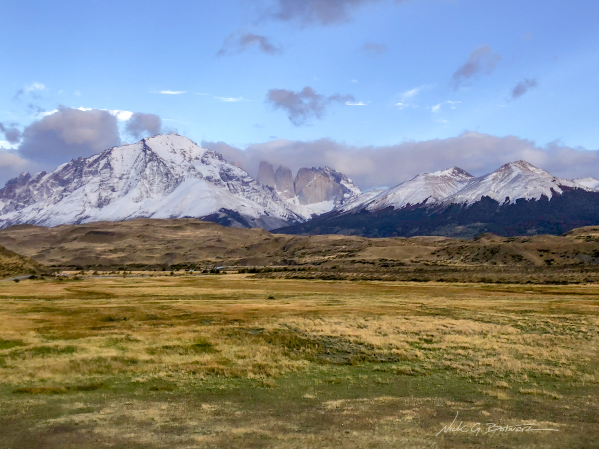
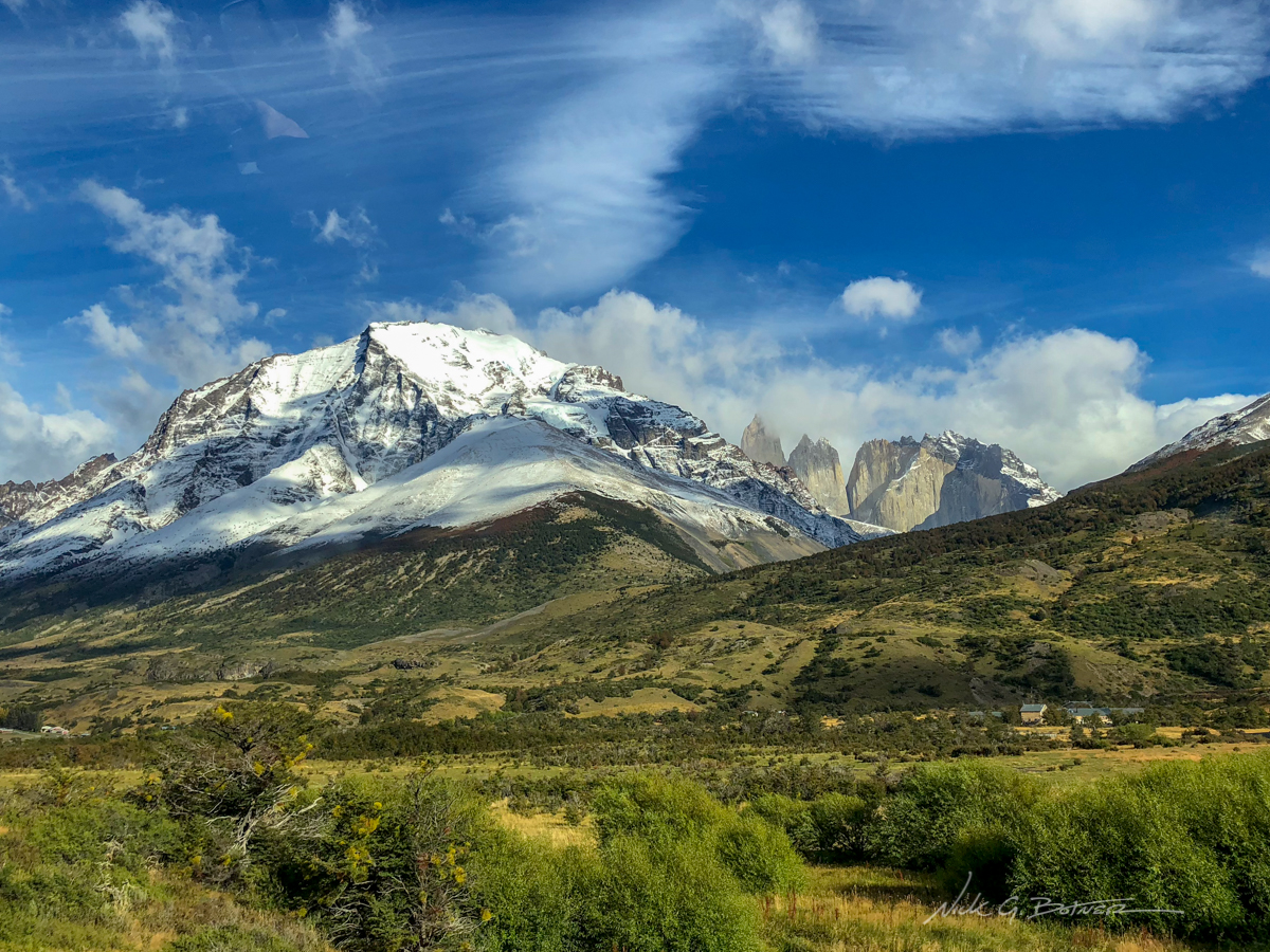
We caught the 7:30am bus and are now arriving in Torres del Paine. We get our first and hopefully not last view of Las Torres.
![]()
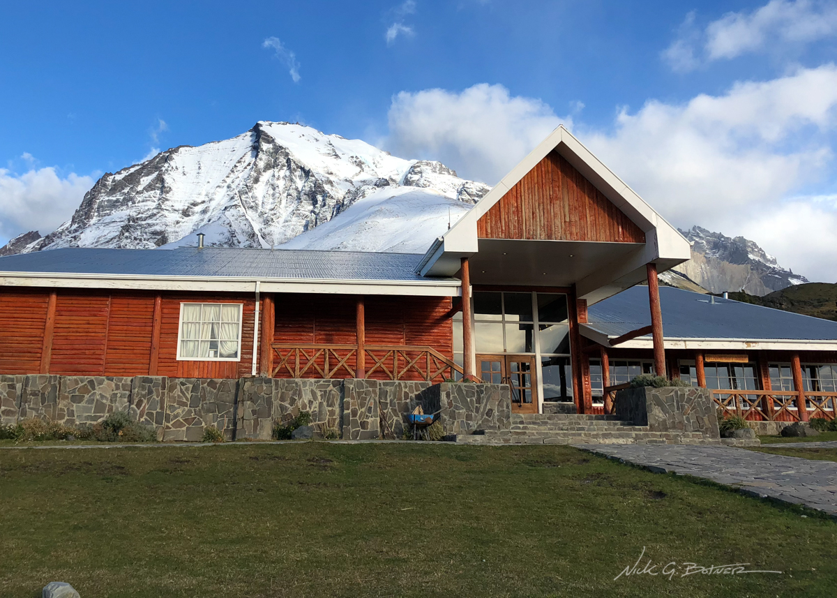
But first we dropped our bags off at the Hotel Las Torres, where we will be staying for a night after our trek.
![]()
Just getting a view of where I will be after 5 days backpacking.
![]()
On the shuttle, we head to the Catamaran dock off of Lago Pehoé.
![]()
We were flying along and didn’t stop at any of the pull outs. 🙁
![]()
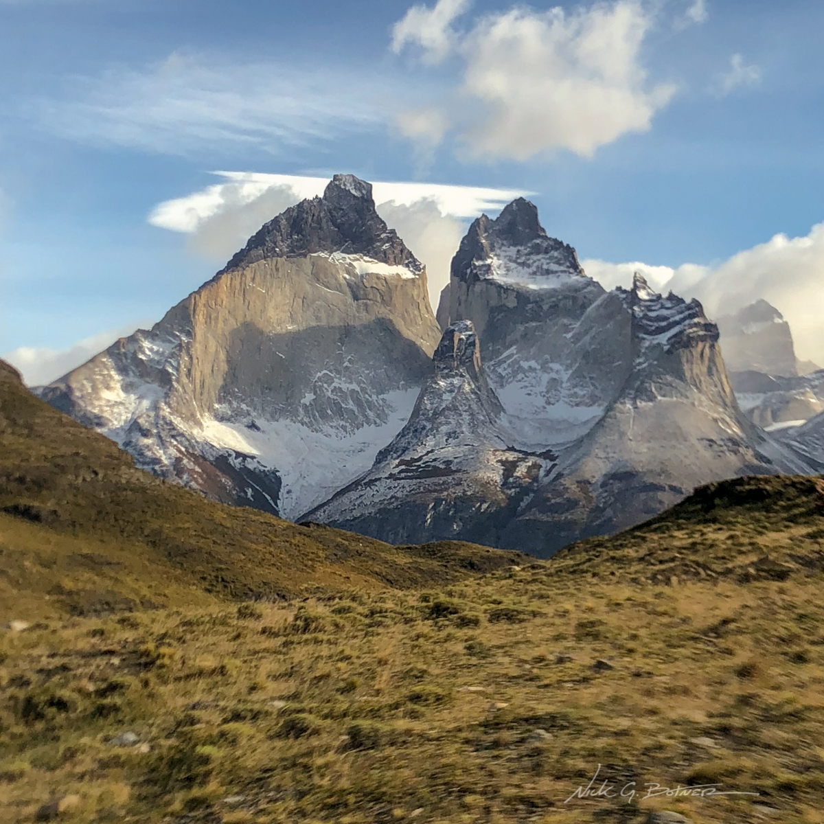
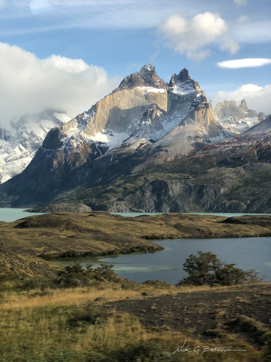
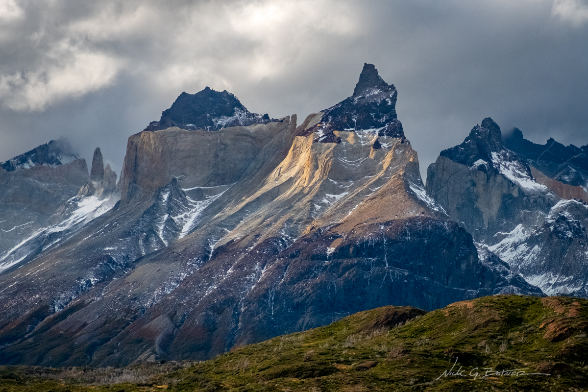
A view of Los Cuernos as we fly by.
![]()
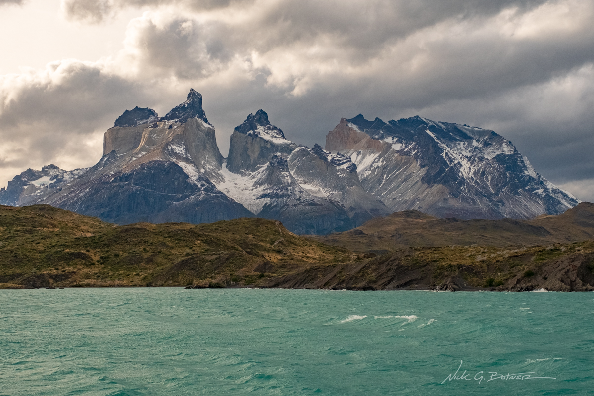
We made it to the Catamaran dock, however, we just missed summer hours and won’t be catching the boat till 4pm. So with this extra amount of time we decide to walk up the road and check out a nearby Mirador.
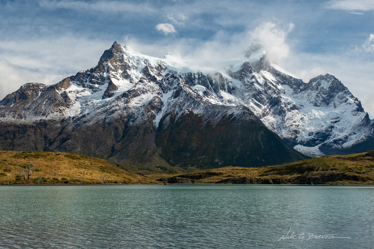
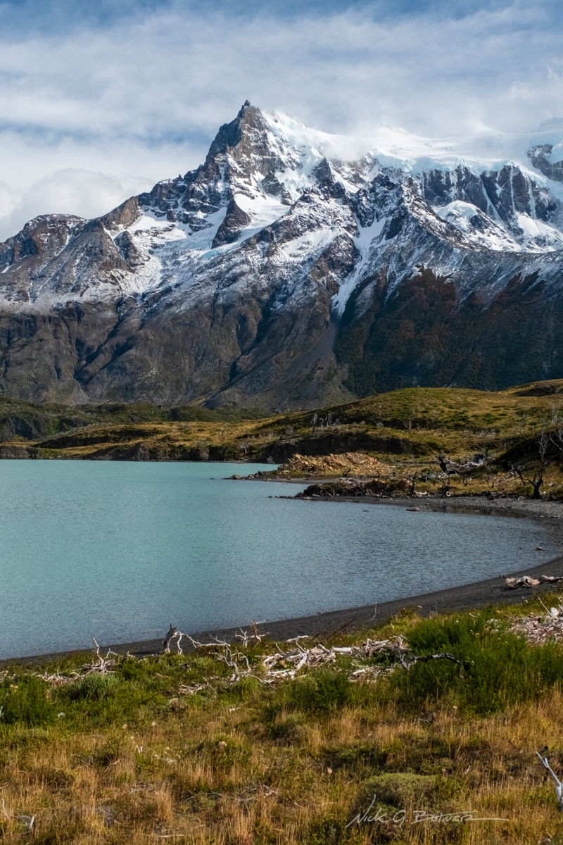
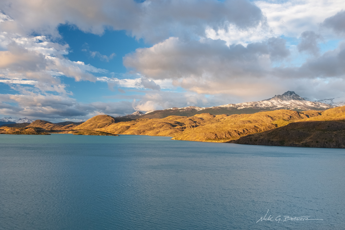
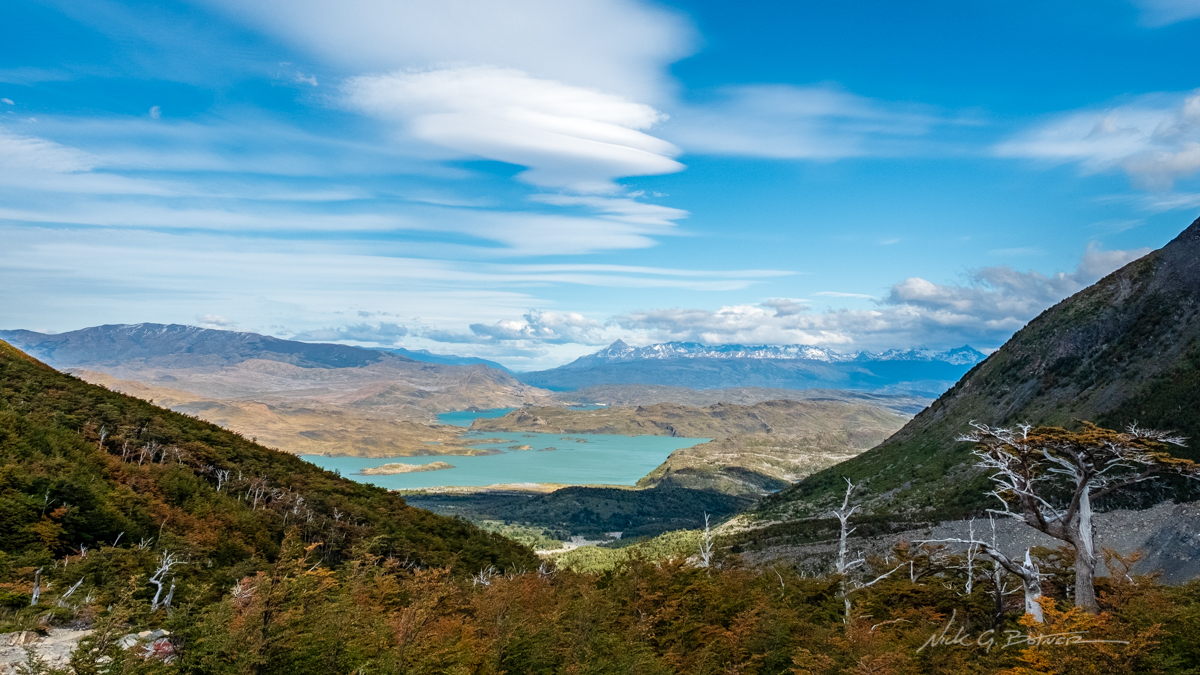
Paine Grande looms over Lago Nordenskjöld. The lake is named after the Swede Otto Nordenskiöld who discovered the lake in the beginning of the 20th century.
![]()
The smaller of two peaks on Paine Grande.
![]()
More Paine Grande.
![]()
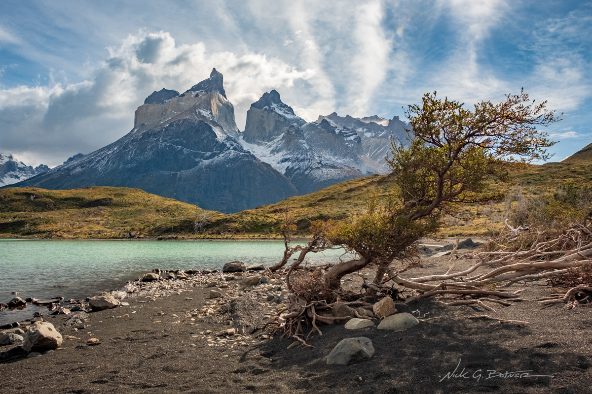
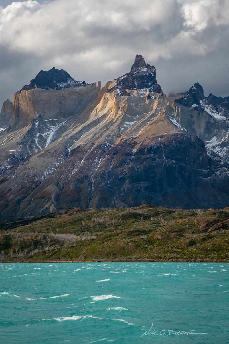
We are finally getting some good views of Los Cuernos. The mirador is just over the hill.
![]()
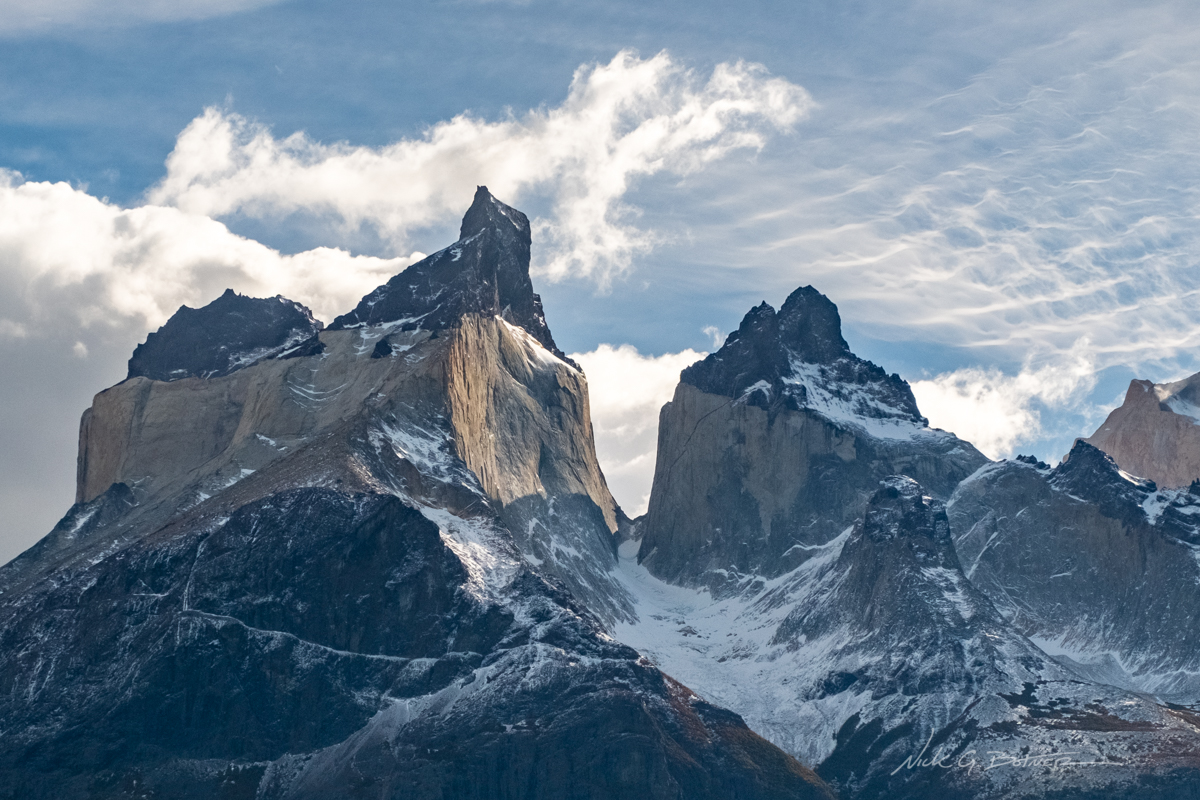
Close up of Los Cuernos.
![]()
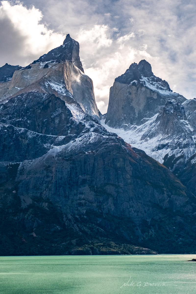
Los Cuernos and Lago Nordenskjöld.
![]()
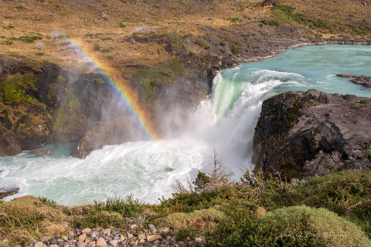
Heading back now, we check out the popular Salto Grande.
![]()
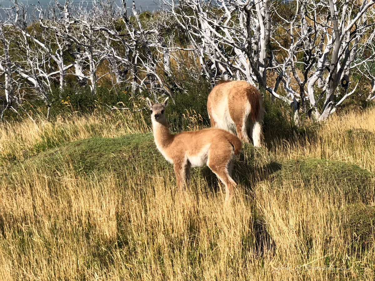
And to much delight there was a small herd of Guanacos feeding along the roadside.
![]()
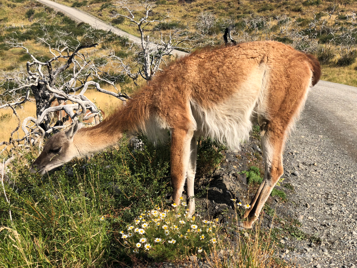
Scruffy creatures.
![]()
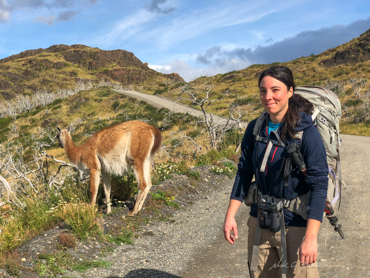
Jen does not share my excitement for the Guanacos as I force her to stop walking so I can take a photo of her with them.
![]()
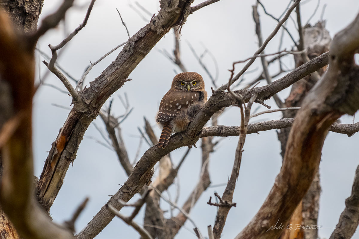
Back at the dock, an Austral Pygmy Owl makes an appearance.
![]()
Finally on the boat! We are making our way to the Paine Grande camp via Lago Pehoé.
![]()
A storm is moving in, but there is still some sun making its way through the clouds.
![]()
So dramatic.
![]()
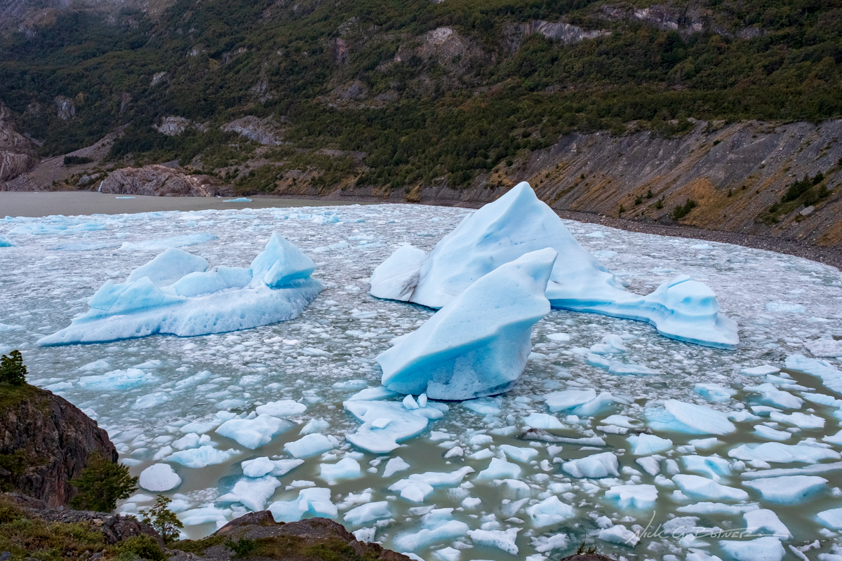
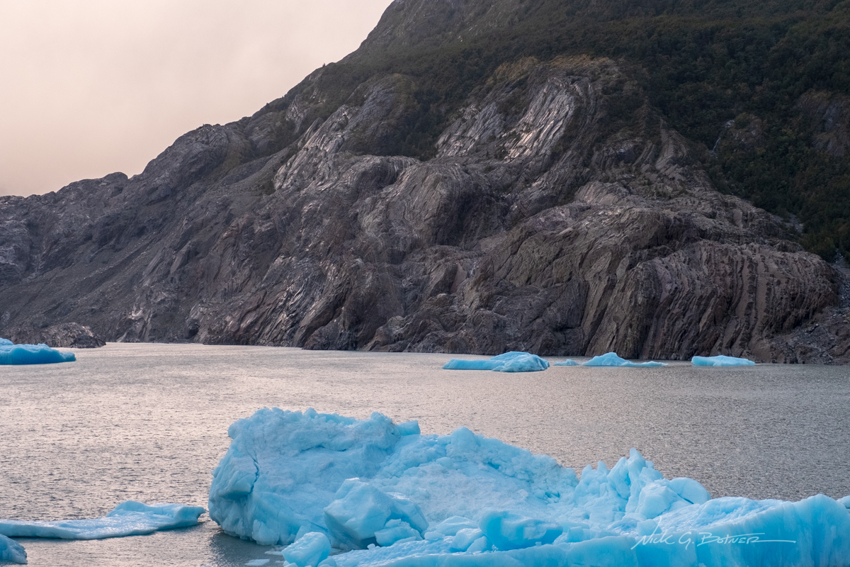
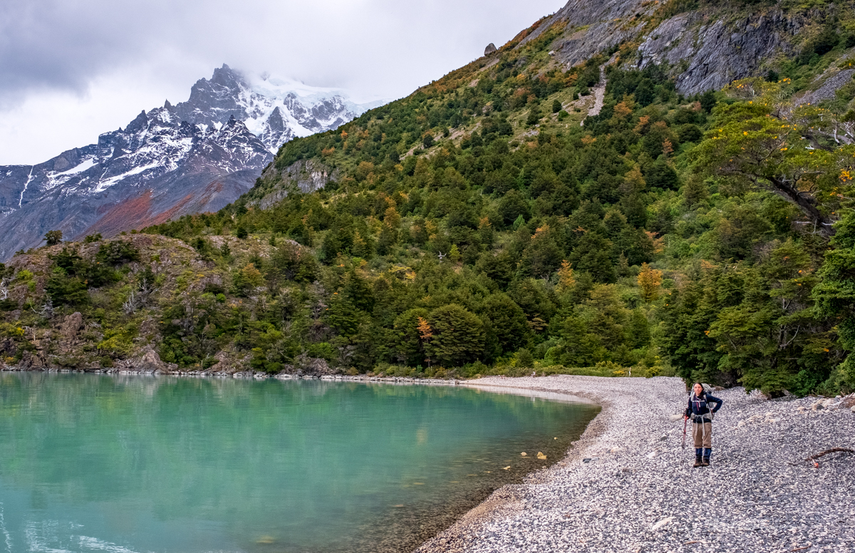
Skipping forward to the next morning, Jen and I head out to check out the Glacier Grey Mirador.
![]()
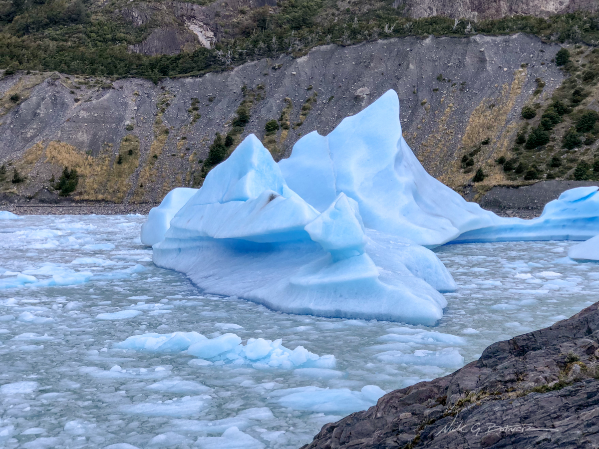
These icebergs are actually ten stories high.
![]()
Morning sunlight.
![]()
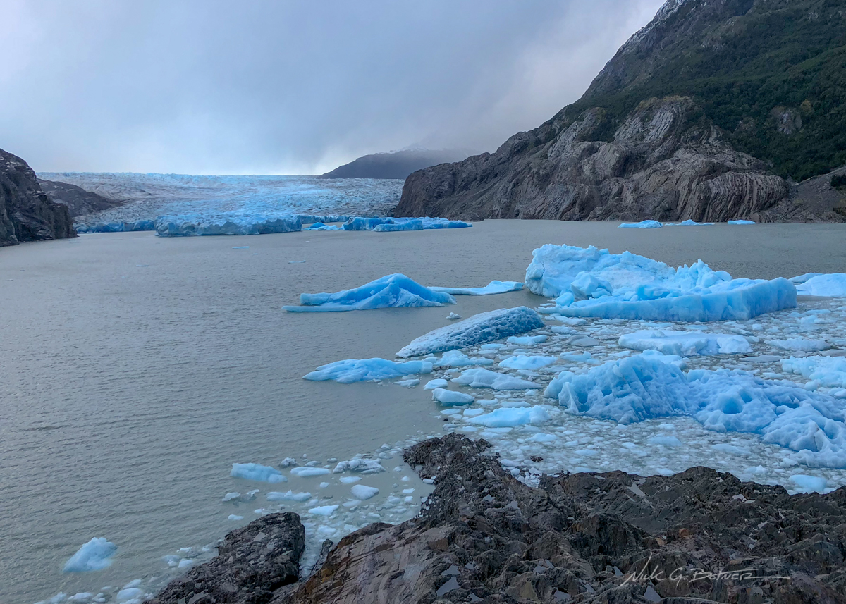
It was a stormy morning, but the rain held off enough for us to see the glacier.
![]()
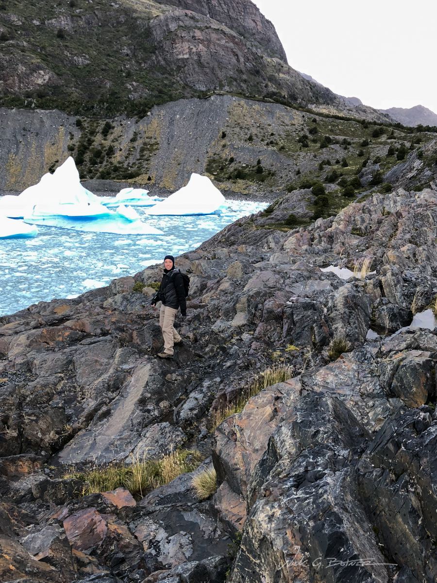
Jen making her way back.
![]()
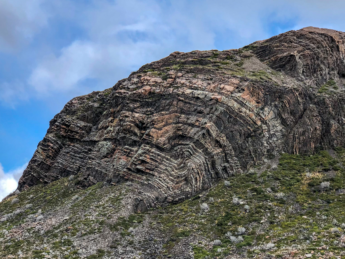
Interesting rock formations.
![]()
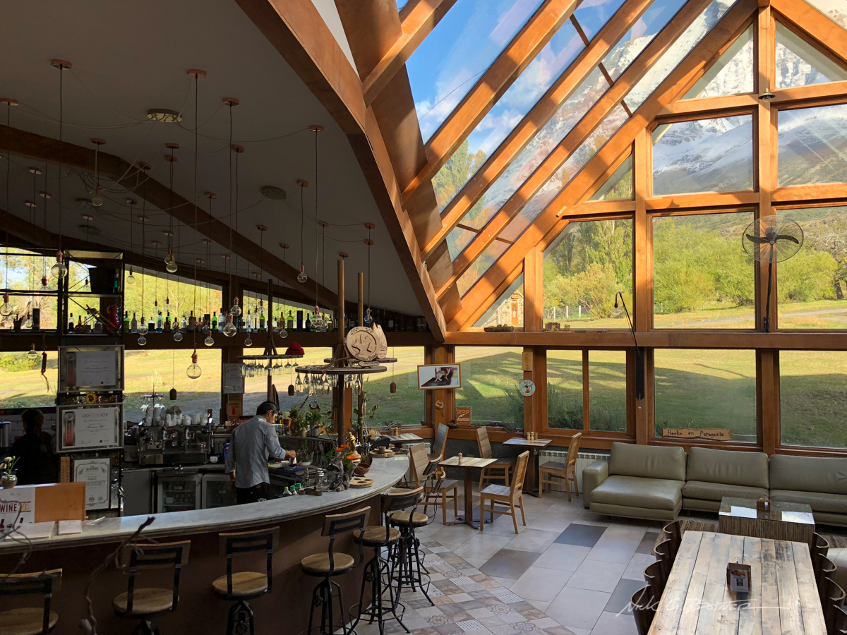
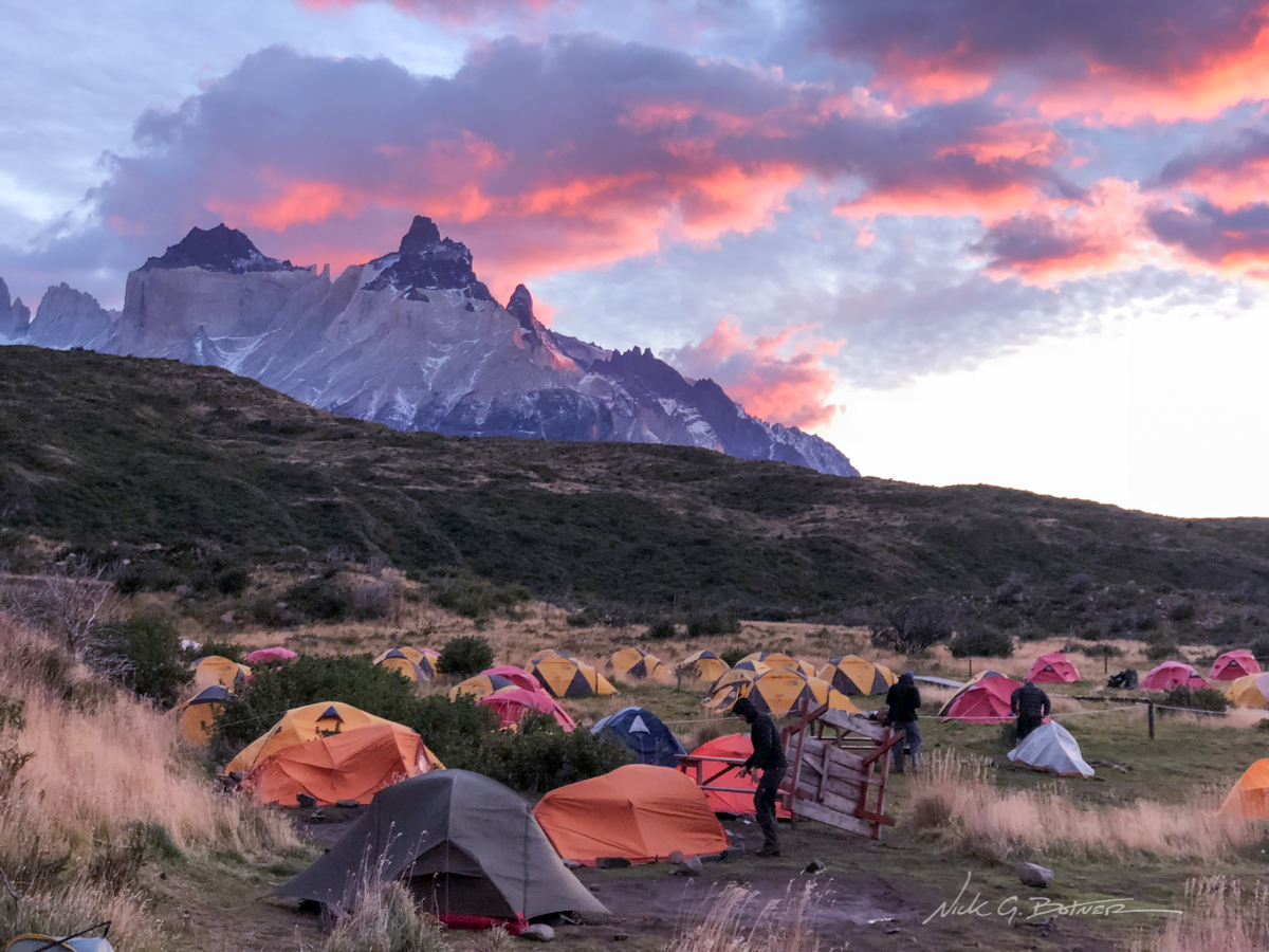
It’s night two and we are at the lodge at Camp Paine Grande. If they have beer and take credit cards, I’m having a drink.
![]()
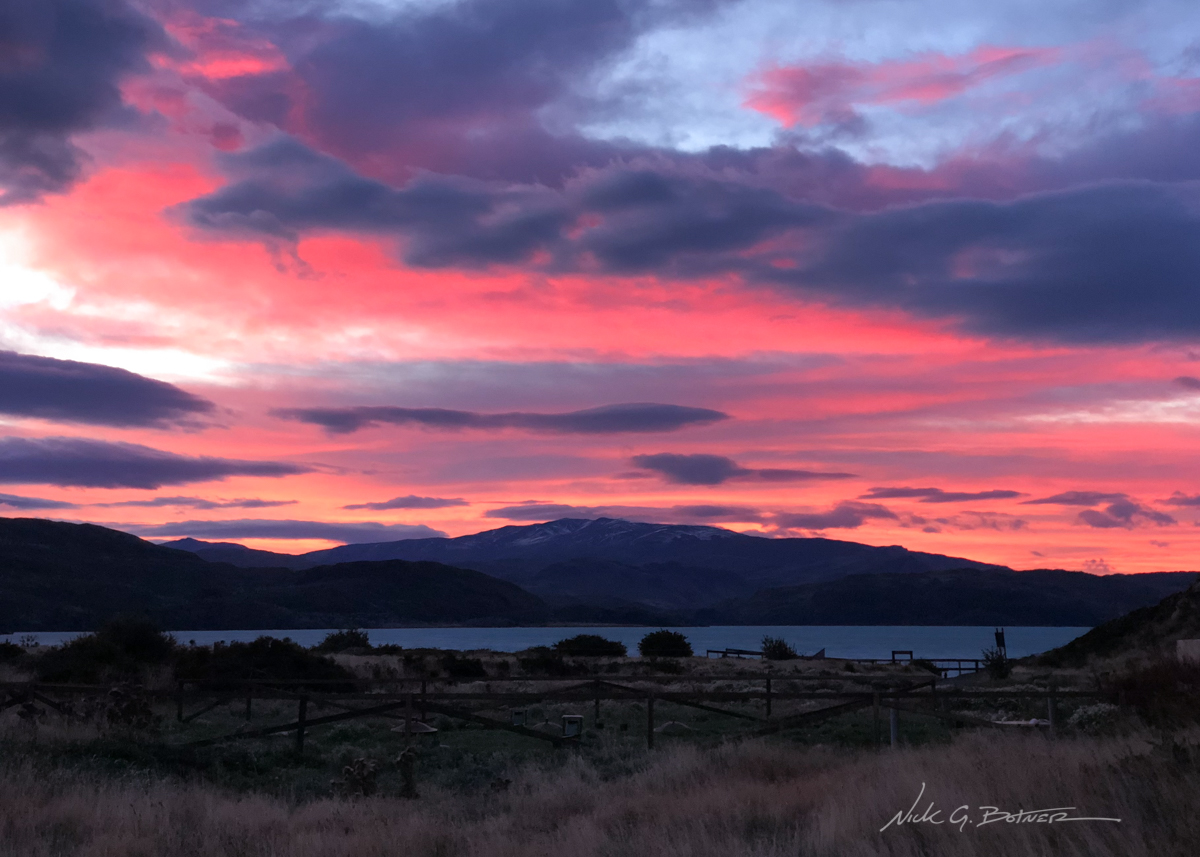
After yesterday’s weather, we are greeted with a beautiful sunrise.
![]()
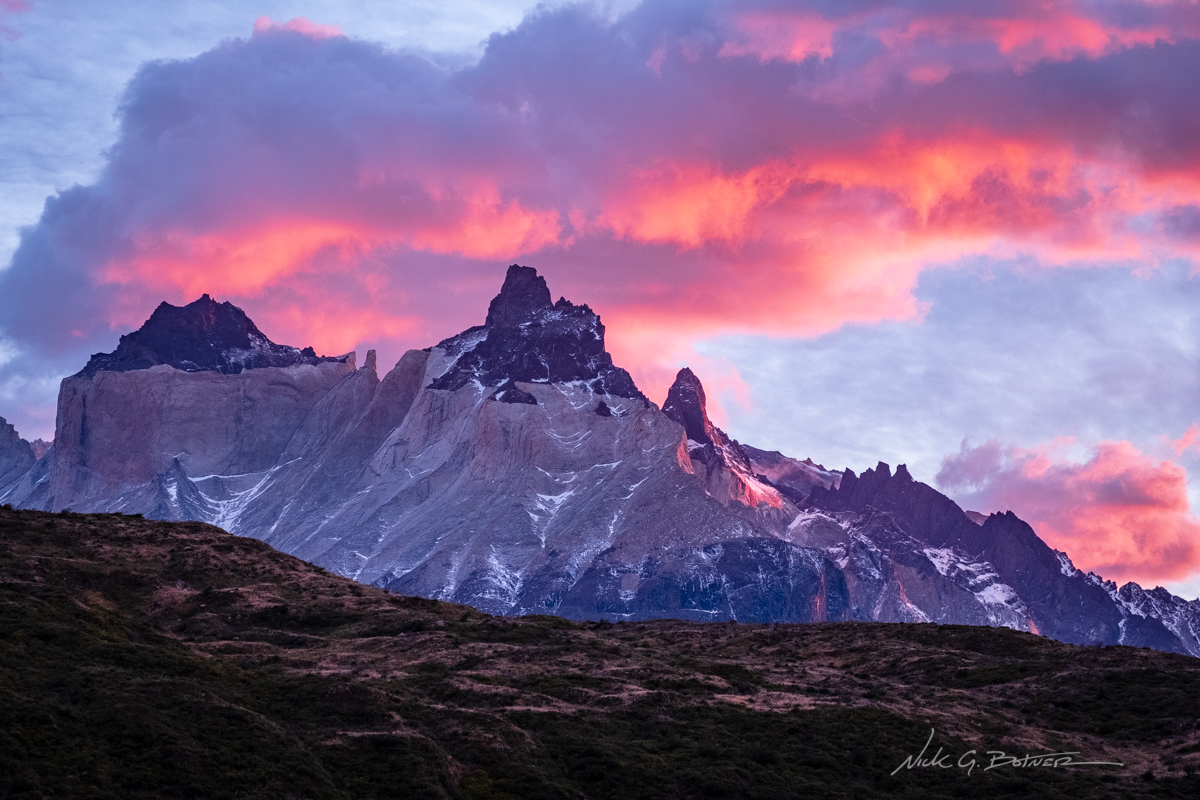
A tiny bit of alpin glow on Los Cuernos.
![]()
People awaken to check the damage from last night’s wind storm. Note the turned over picnic table used as a windbreak. :\
![]()
Jen and I get underway and head to our next destination, Italiano Camp. This is just a shot looking back.
![]()
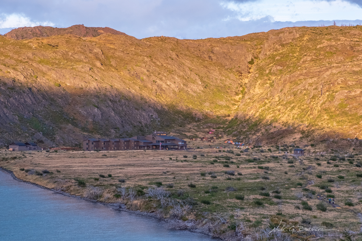
Still looking back, you can see the amazing lodge at Camp Paine Grande. Of course we roughed it and slept in our tent. But not after having a few cold beers.
![]()
Morning light on Paine Grande is so grand.
![]()
There’s something magical about these mountains. 🙂
![]()
Fall colors are starting to show in the Lenga.
![]()
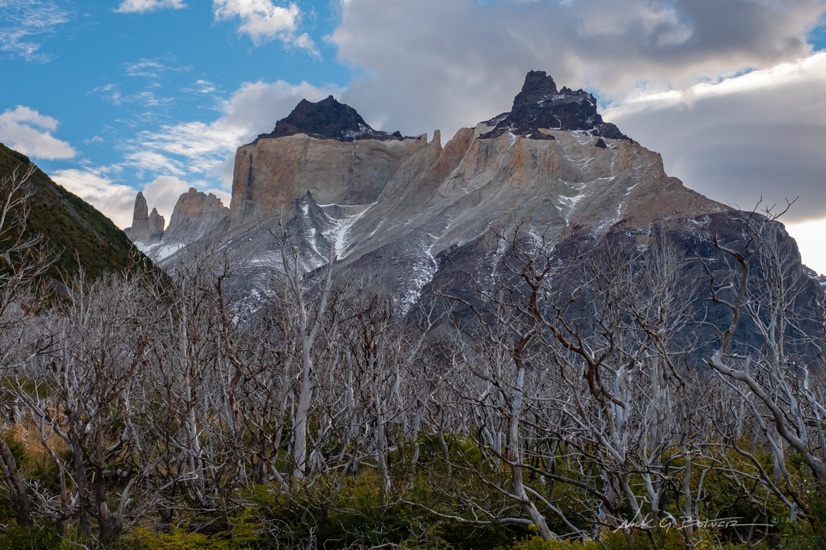
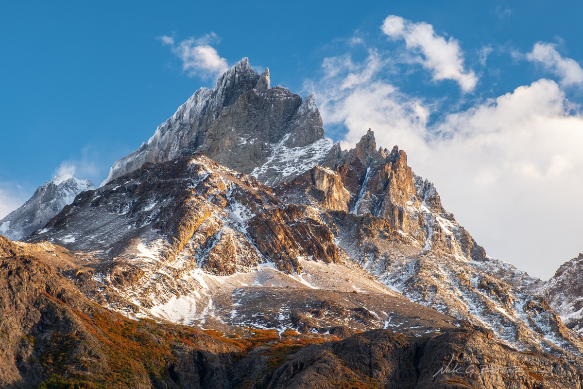
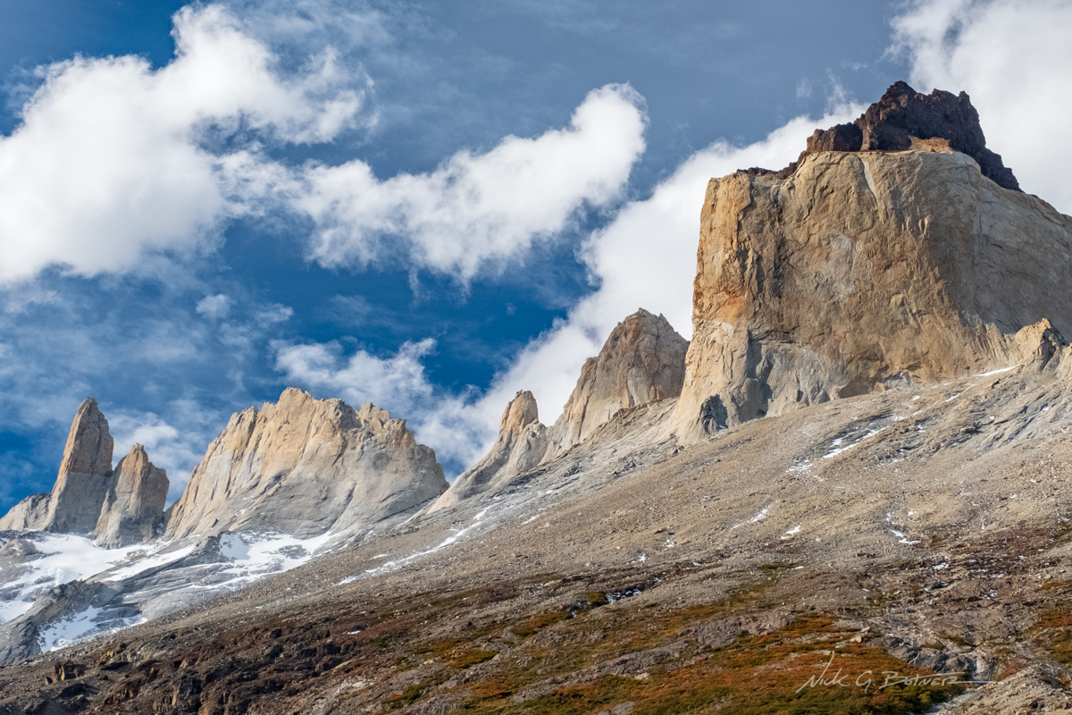
Los Cuernos as seen from the remains of a massive fire in 2014.
![]()
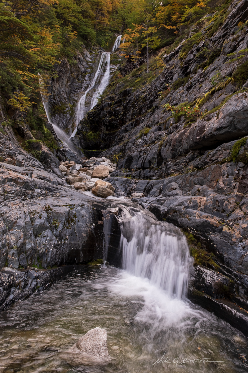
Waterfalls everywhere.
![]()
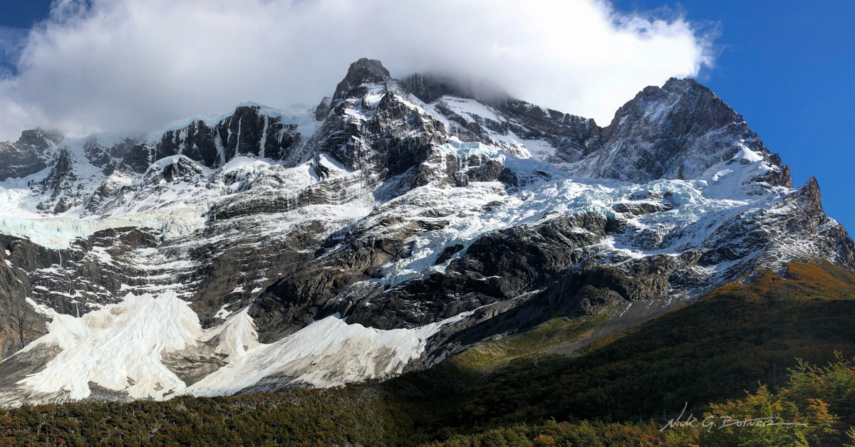
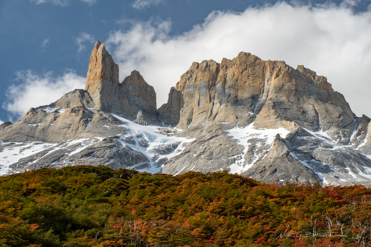
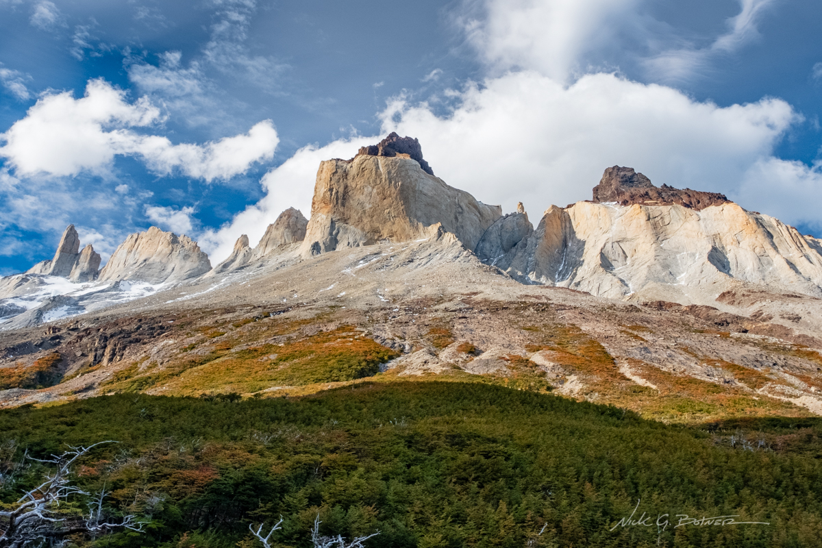
Paine Grande as seen from Mirador Frances in the French Valley.
![]()
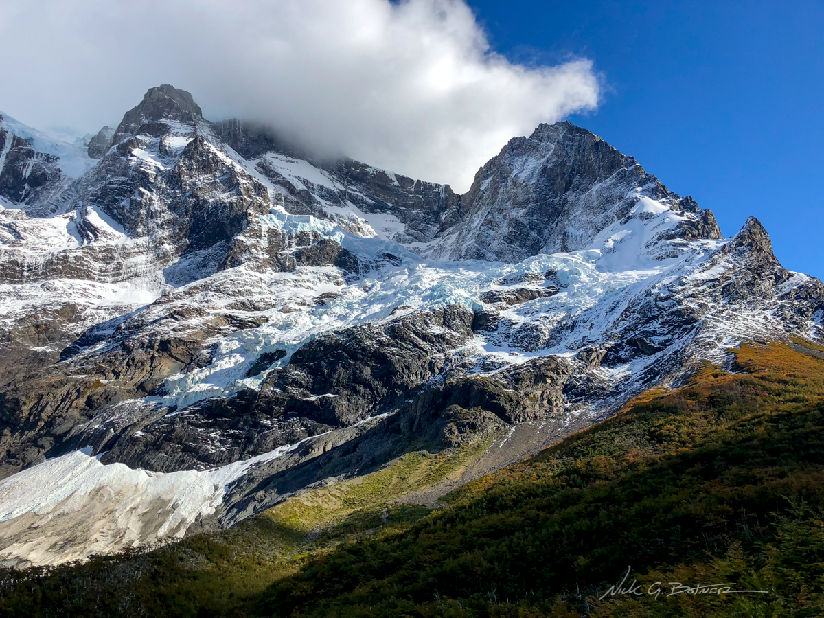
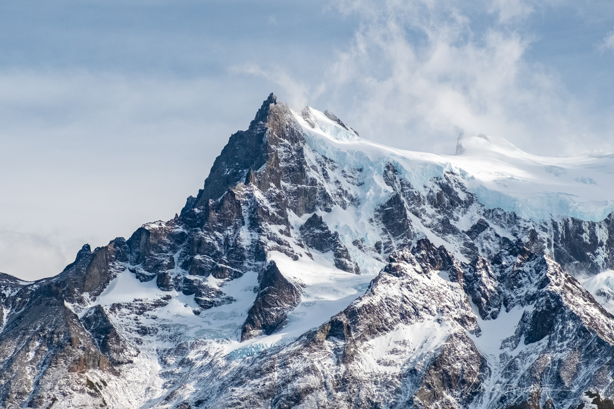
These hanging glaciers were calving constantly sending off loud booms throughout the valley.
![]()
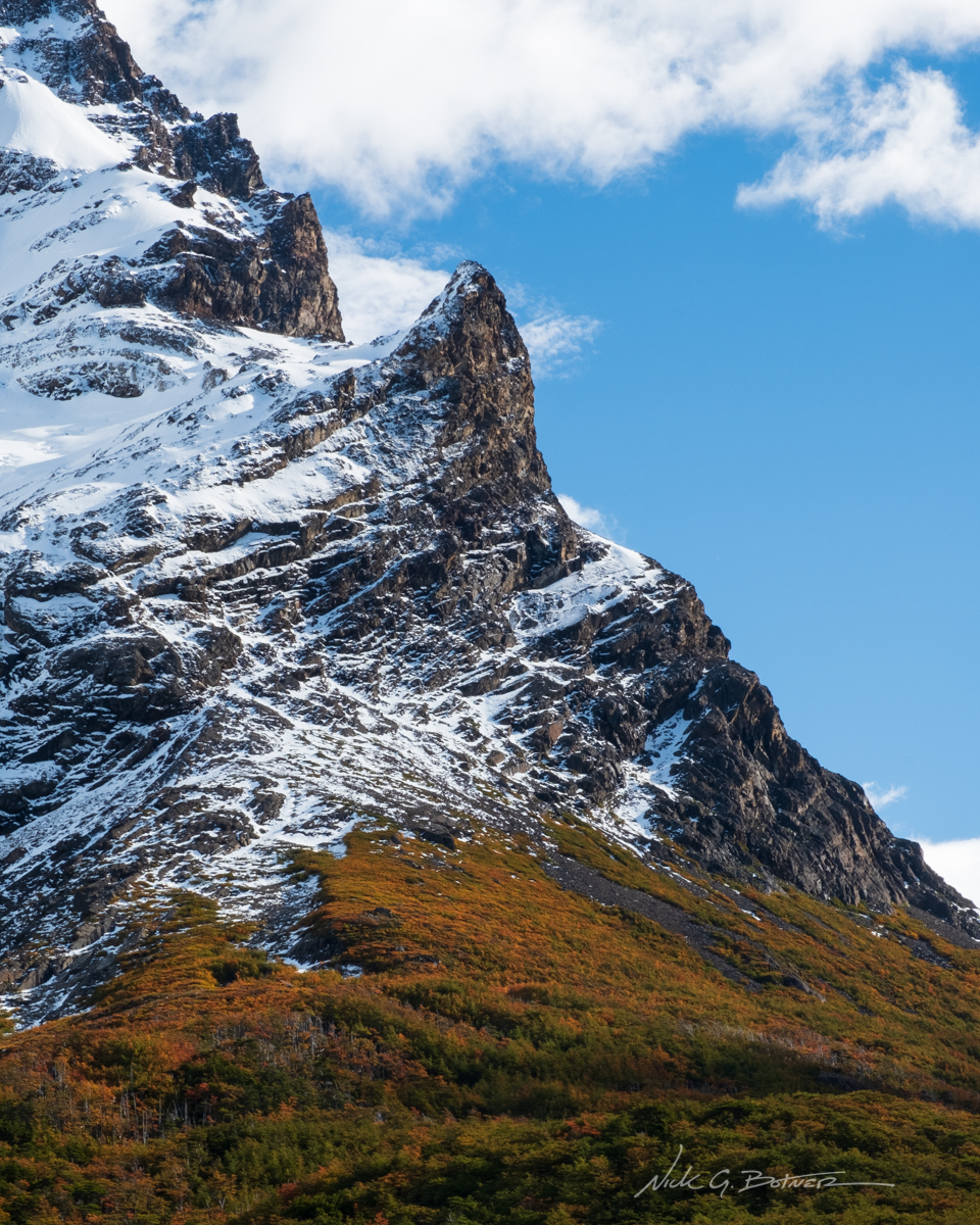
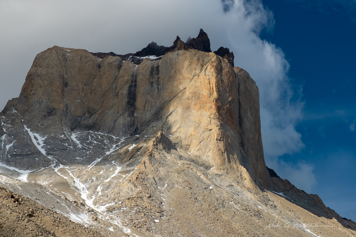
Horn like rock structure.
![]()
Los Cuernos as seen from Mirador Frances in the French Valley.
![]()
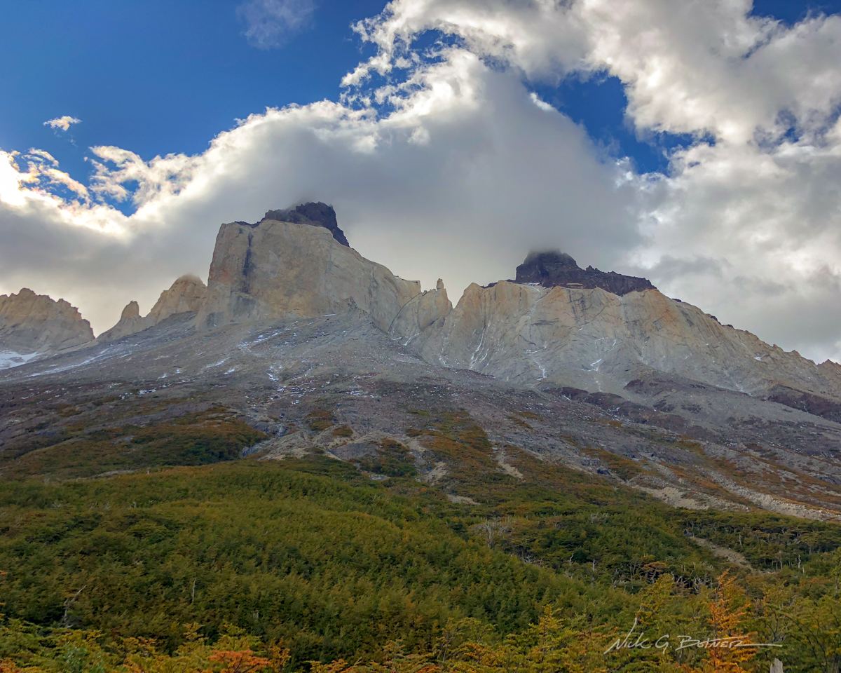
The French valley was turning out to be the highlight of the trip.
![]()
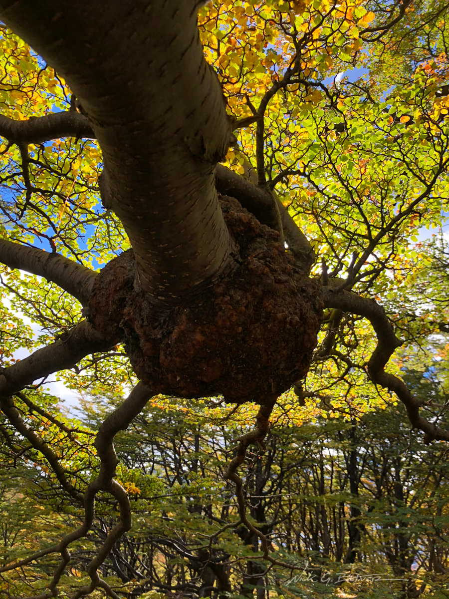
Massive bolus in a lenga tree.
![]()
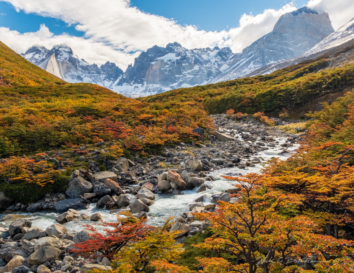
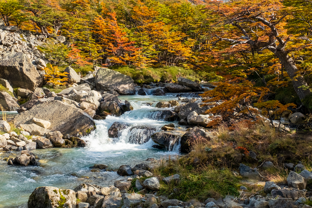
Looking deeper into the French Valley with Rio Frances.
![]()
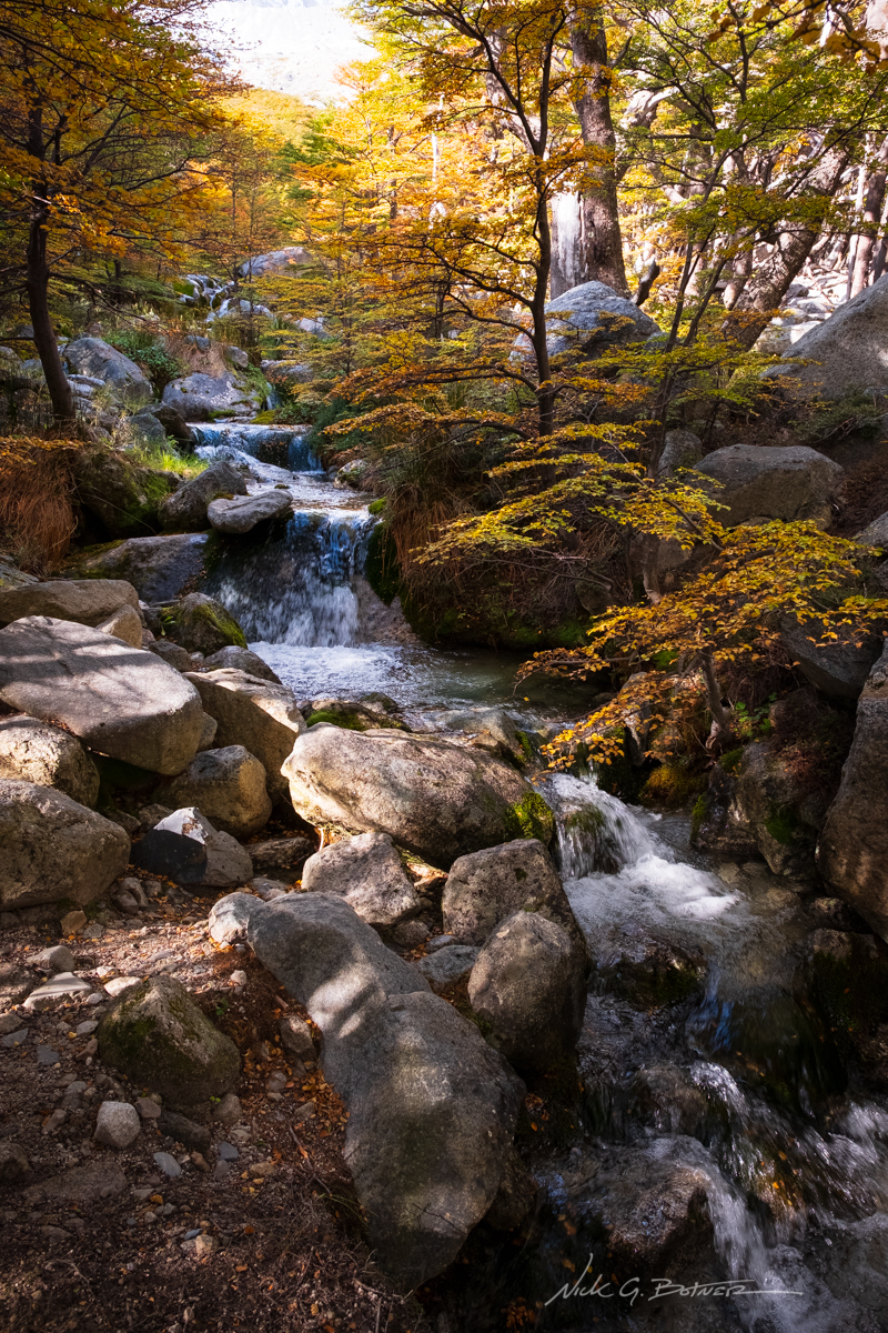
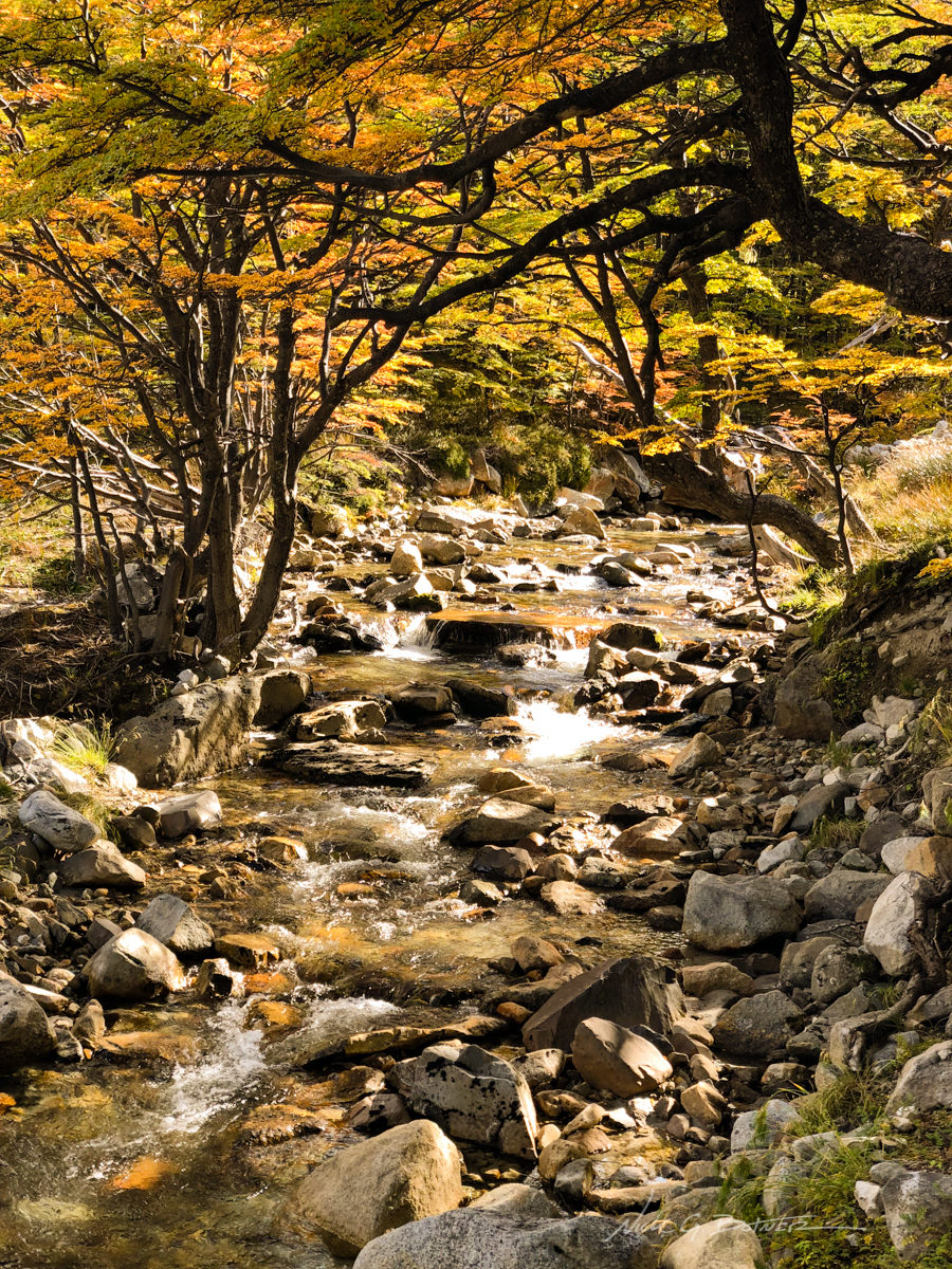
Fall colors on the river were something else.
![]()
Almost missed this little shot as I was so excited to get up to the next mirador. Thankfully Jen stopped and caught my attention.
![]()
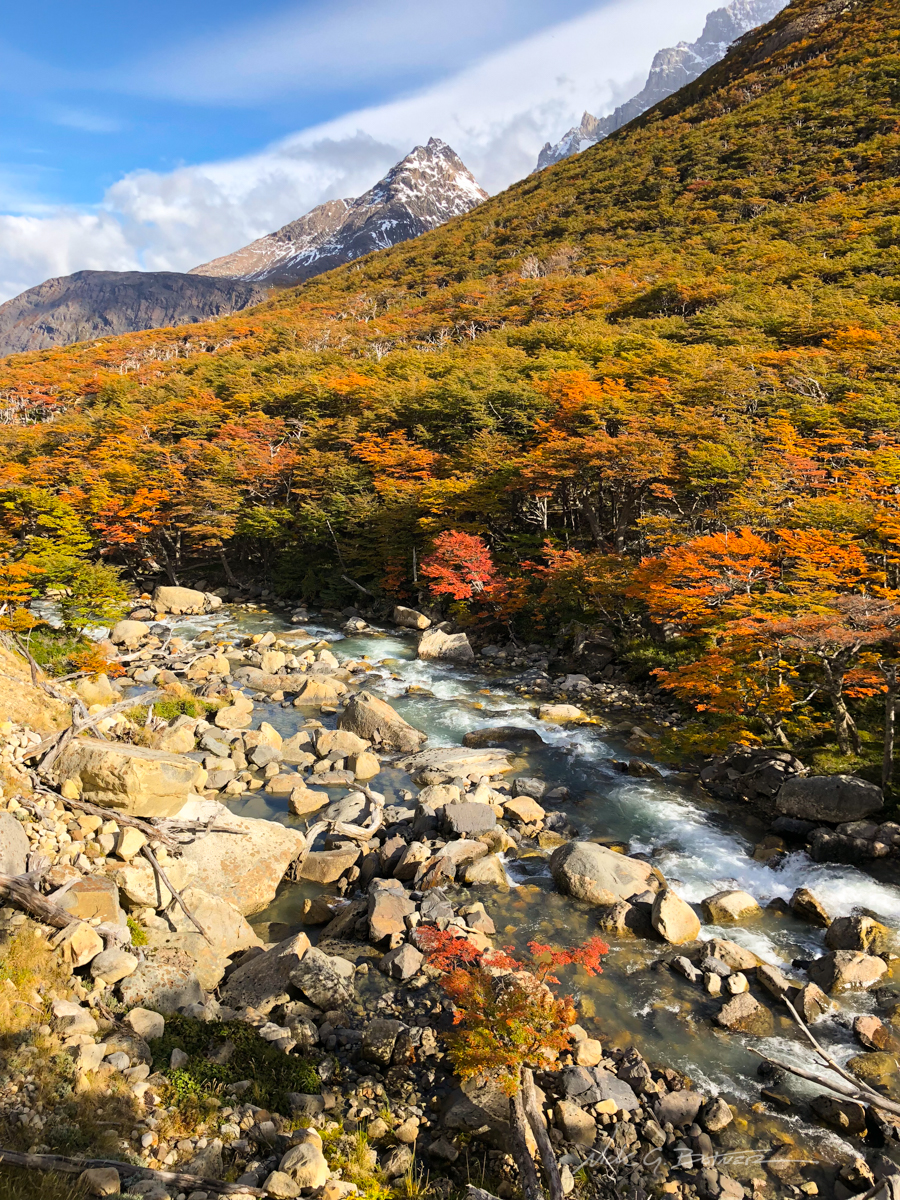
Rio Frances.
![]()
Backside of Los Cuernos.
![]()
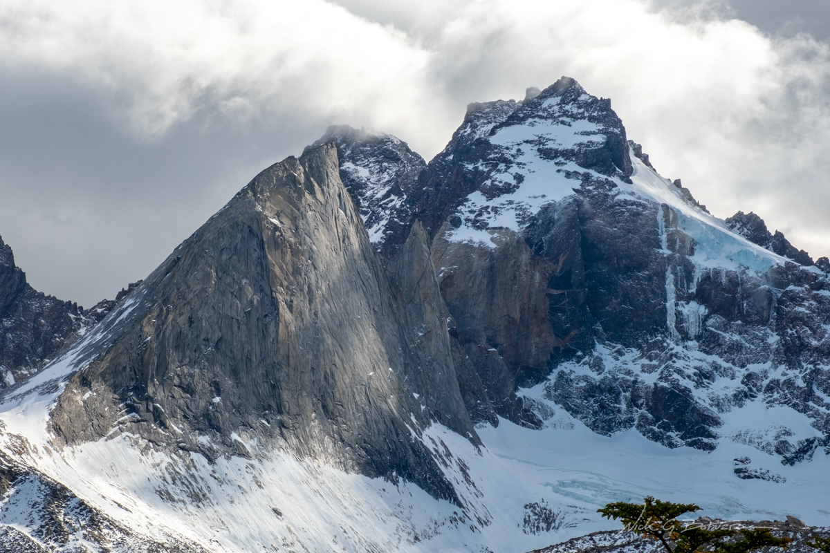
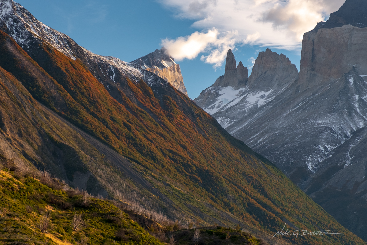
The “Shark Fin”.
![]()
The fin like ridge on the backside of Los Cuernos as seen from Mirador Britanico.
![]()
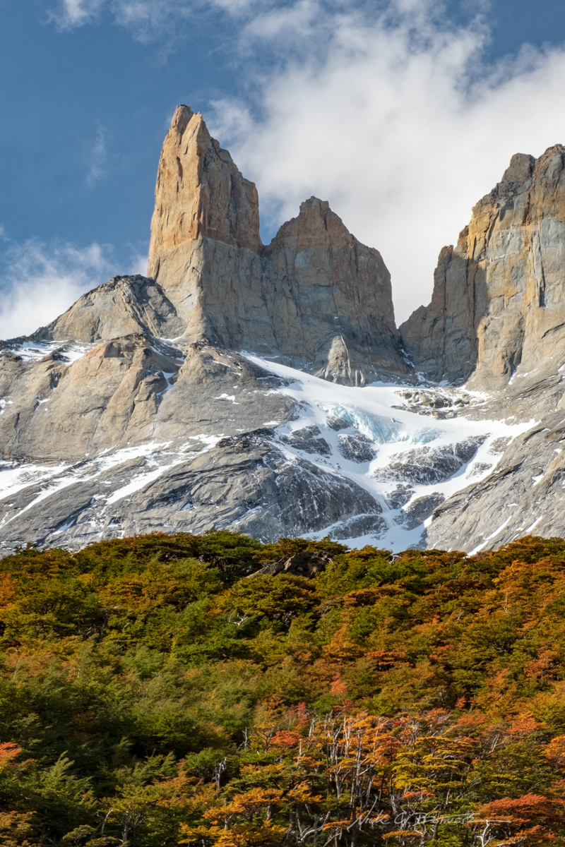
Love the two-tone tower.
![]()
Enjoying lunch at Mirador Britanico in the French Valley.
![]()
Heading back down the French Valley, the sun flipped positions to give us some afternoon light on Los Cuernos.
![]()
![]()
Time to drop out of the French Valley and make camp at Italiano.
![]()
Early morning we need to hike 11mi to our last stop. Enjoying the lakeside hike before the rain comes.
![]()
Passing by the base of Los Cuernos.
![]()
From here we endured 6mi of moderate rain and made camp at our final stop, Chileno. The weather was looking a bit iffy, so we opted out of the sunrize hike, had breakfast, broke down our tent, stashed our large bags and headed up for the grand finale at Mirador Las Torres, hoping the clouds will part and give us a view.
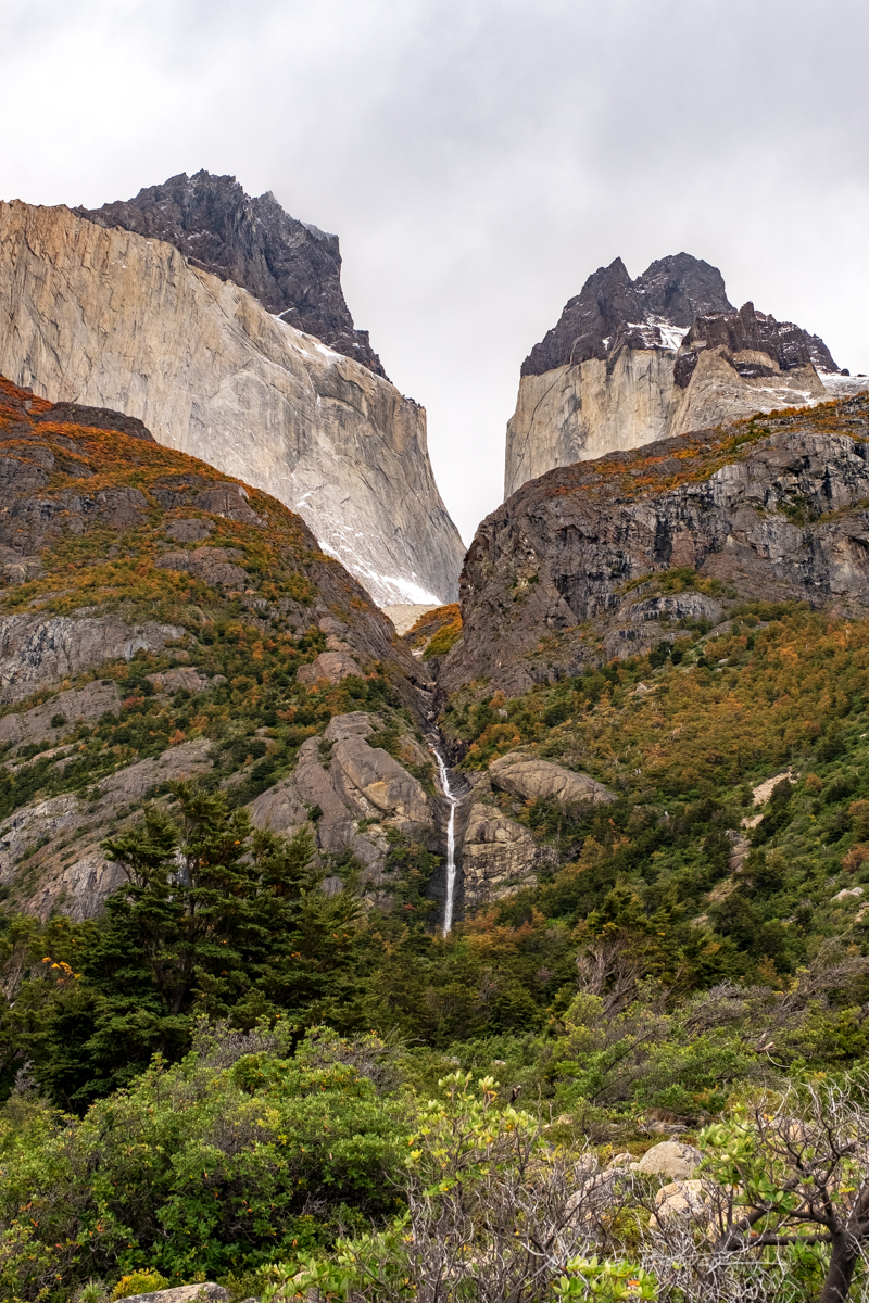
Black rock with waterfalls reminded me of scenes from Iceland.
![]()
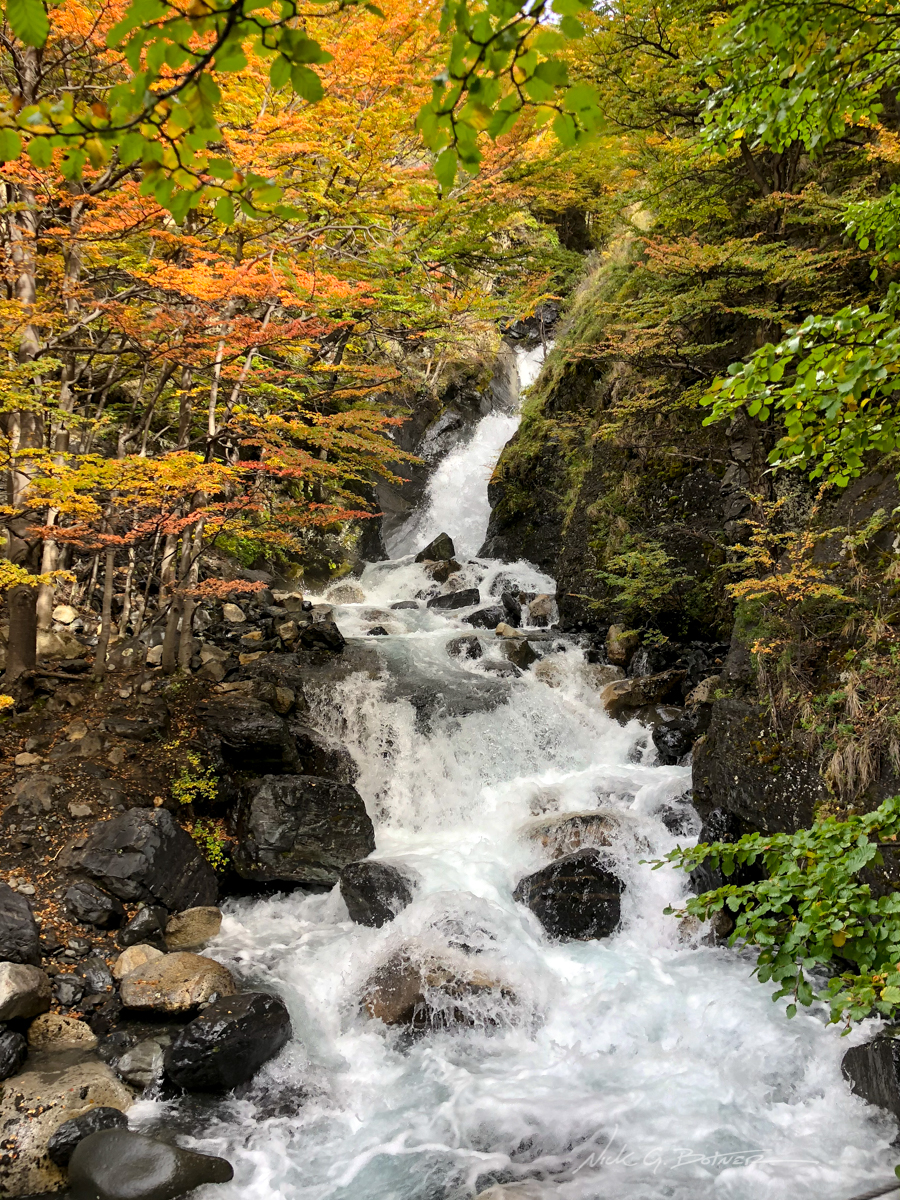
Another no-name beautiful waterfall.
![]()
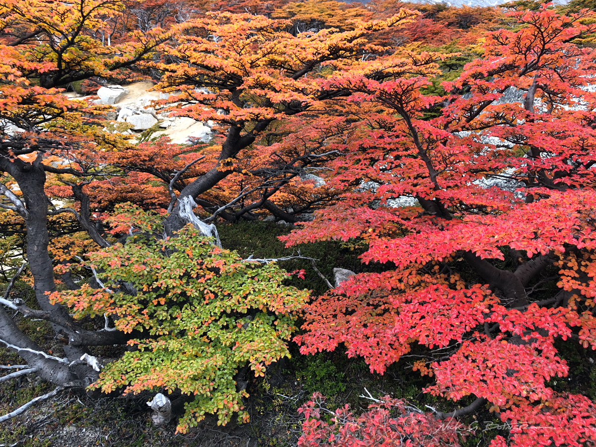
Lenga’s were really putting on a show in the higher elevations.
![]()
We made it to the Mirador and the rain had stopped just before we arrived!
![]()
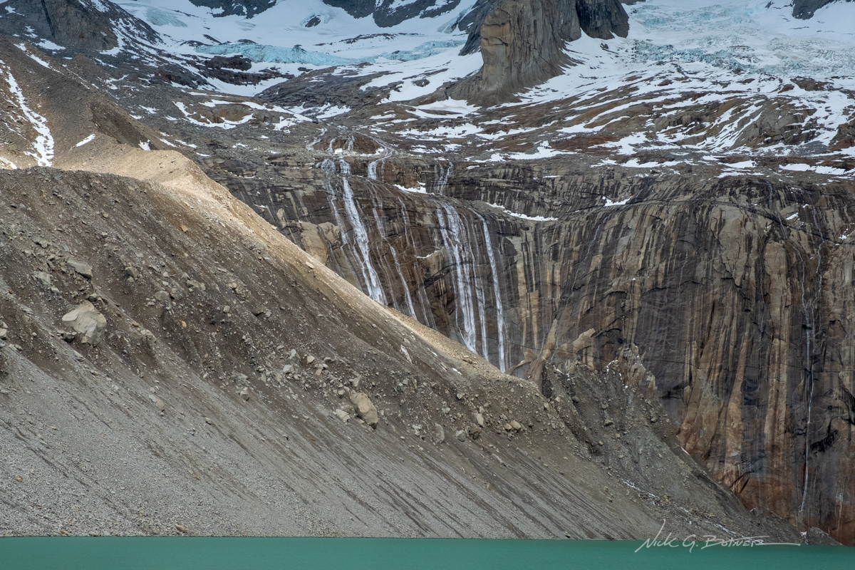
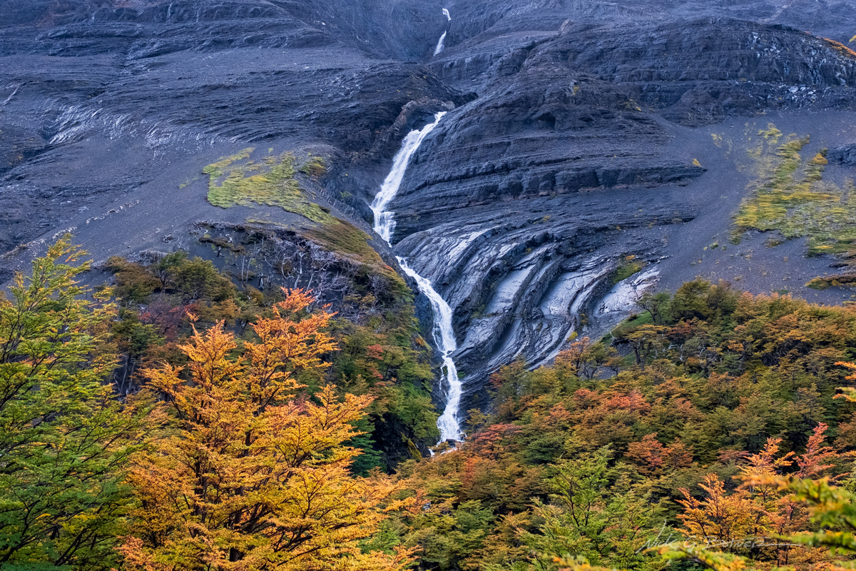
Waterfalls from the hanging glaciers.
![]()
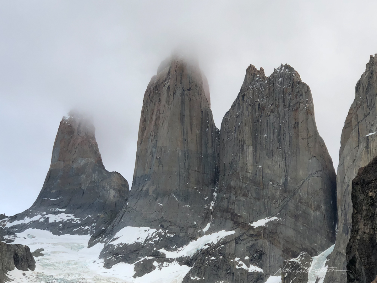
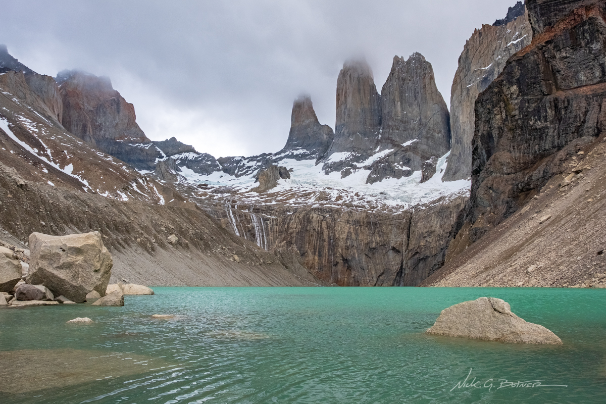
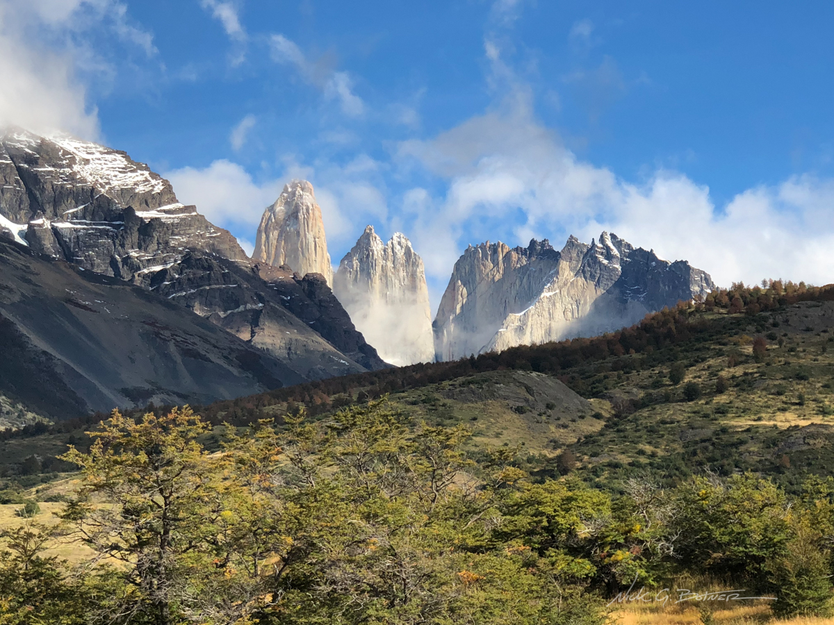
Las Torres, or the Towers. Photos definitely don’t do these things justice.
![]()
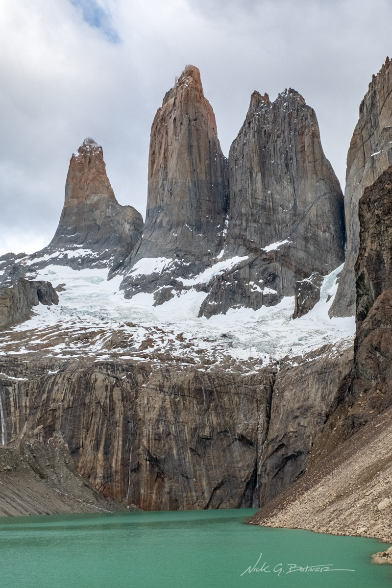
Almost a bit of sun on the towers!
![]()
Feeling very blessed to be able to even see the towers with the weather we had been having.
![]()
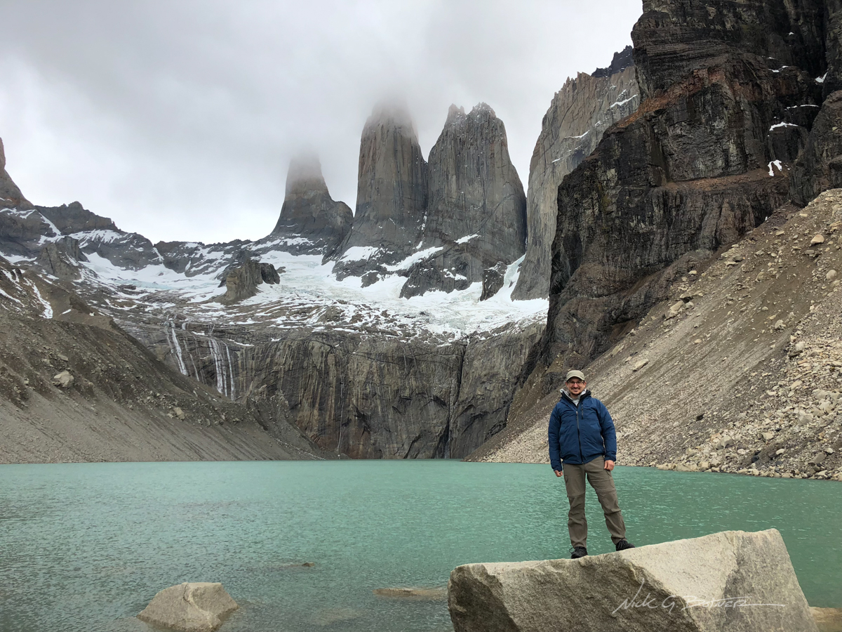
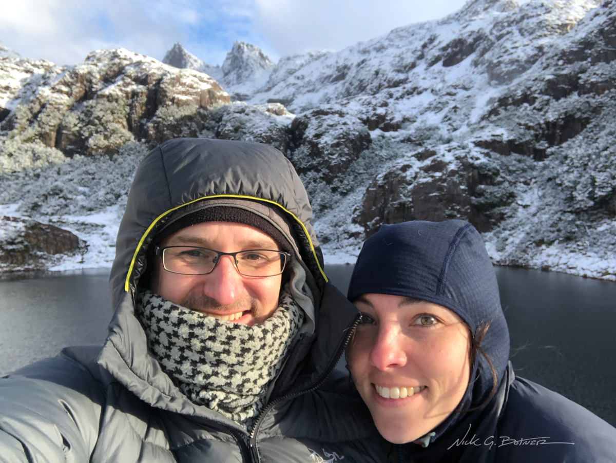
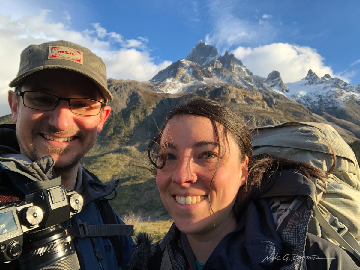
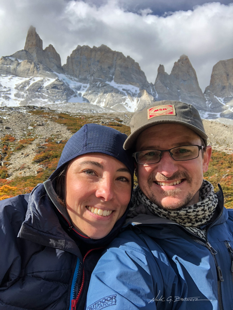
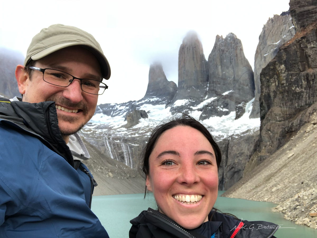
Mandatory posed photo. Jen declined the shot. 😉
![]()
After visiting Mirador Las Torres, it was time to pack out and head to our luxury hotel “Las Torres” where we would pamper ourselves for a job well done.
But first we need to dry a few things from the rainstorm.
![]()
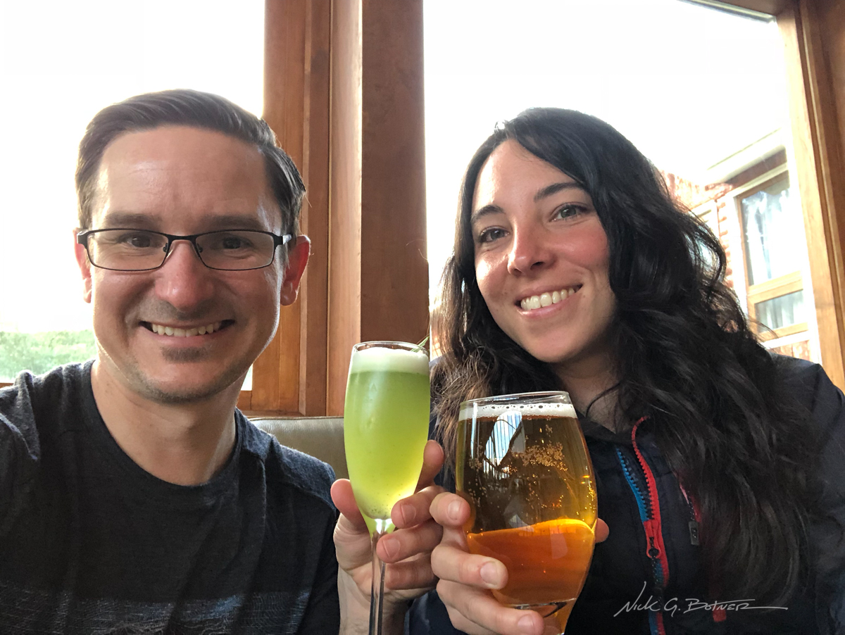
Pisco Sour and Beer. Smiles all around.
![]()
Parting photo of the towers as we waited for the start of a long journey home.
![]()
The End.
We hope you enjoyed these slivers of excitement from our three and a half weeks in Chile Patagonia. So much more happened then what I could take photos of. Sometimes you are so caught up in the moment that you forget to pull out the camera, and that’s ok.
As far as my opinion of the trip, there is something about Patagonia that keeps dragging you back. Jen and I had figured this second trip would finalize a few chapters in our lives. But turns out there’s just too much more to see down there. I think we will be going back in two years time.
Thanks for reading and stay tuned for the videos.