Volcano Pacaya lies 19 mi southwest of Guatemala City, which is about an hours bus ride from Antigua. The volcano sits inside the Pacaya National Park and touts an elevation of 8,373 feet.
So far, the last activity reported has been the eruption that peaked on May 27, 2010, causing ash to rain down in Guatemala City, Antigua and Escuintla. Since the last eruption, there have been visible lava flows where hikers can get close enough to cook a marshmallow.
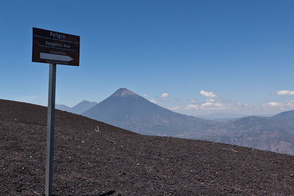
In order to protect the volcano and better control its visitors, there is only one main access road to the volcano. The park builds funding by charging visitors a small fee to enter at the base of the volcano road.

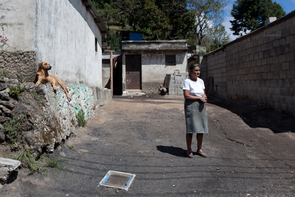
As you make your way into the park, there are small little homes on the sides of the road. This one has a dead animal draped over the roof. Or so I hope.
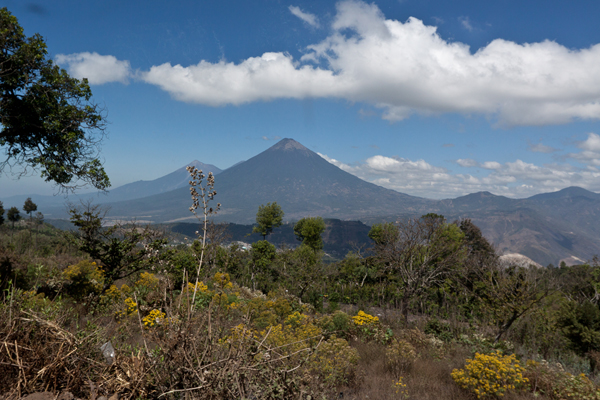
Still on the bus, you can see things are getting a bit higher now. That’s Volcano Agua to the north.
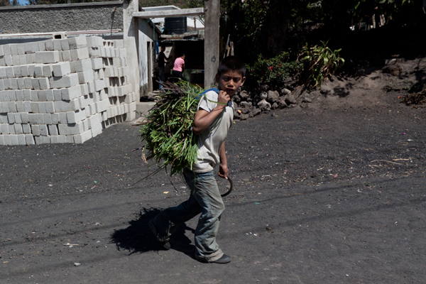
The kids carry bundles of grass, and the men carry bundles of sticks.
Looking onward.
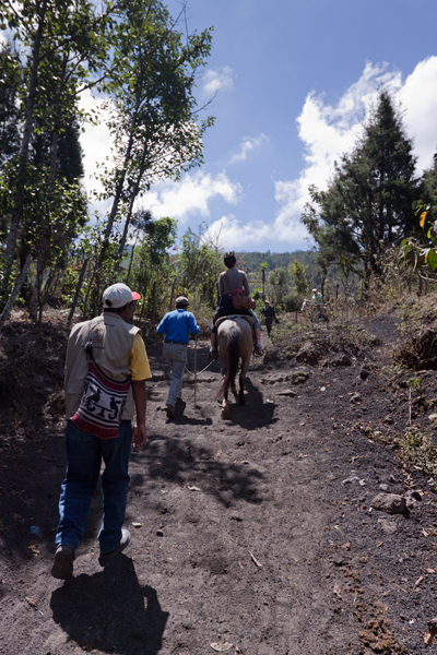
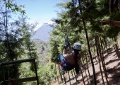
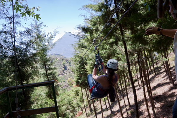
When you get to the beginning of the trail, you are given the option to purchase a walking stick and/or the ability to ride a Guatemalan horse up/down the Volcano. If you don’t want the horse at first, no problem. They will just follow behind you with the horses waiting for those that give up on the hike. The first person to bail always feels the worst.
This maize (corn) field was devastated by the last eruption and is just now starting to be planted for new growth.
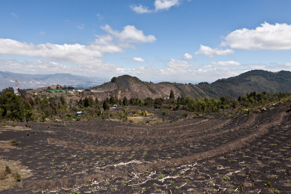
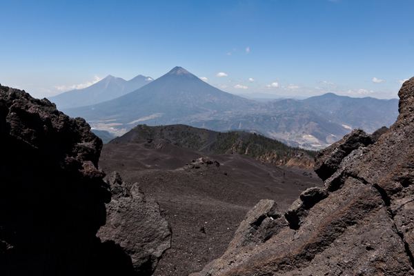
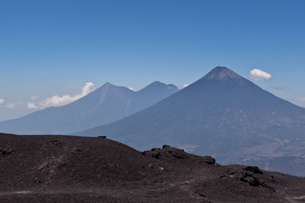
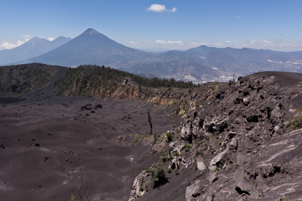
This gives you a better view of the volcanic field.
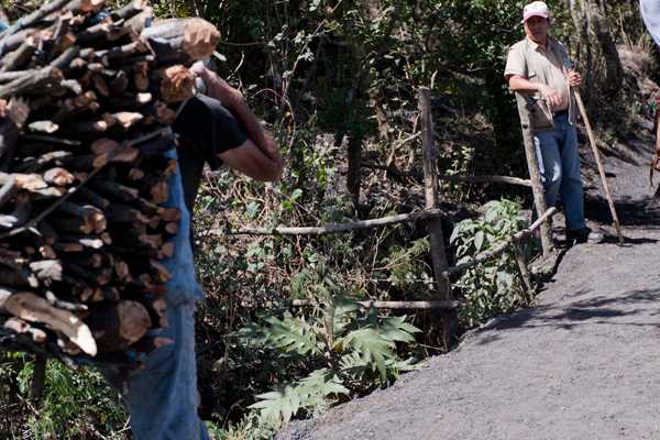
Our trail guide waits for the stick bundler to pass.
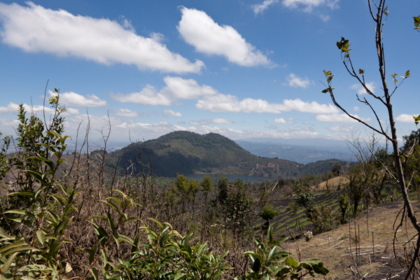
A little further up the Volcano, you can start to see the small lakes below.
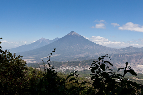
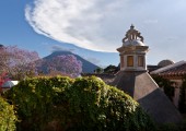
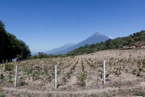
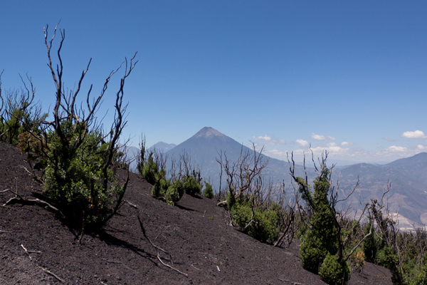
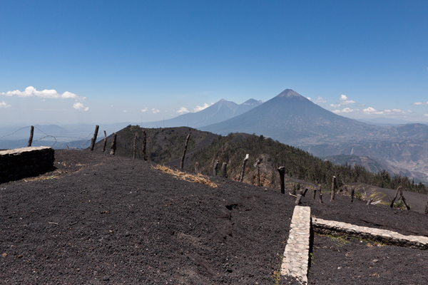
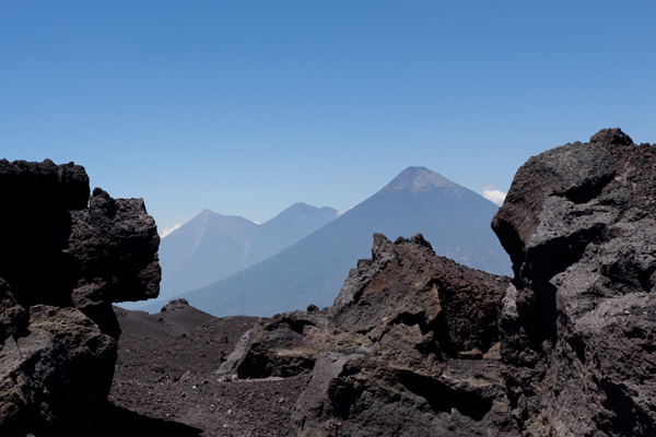
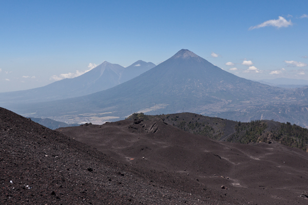
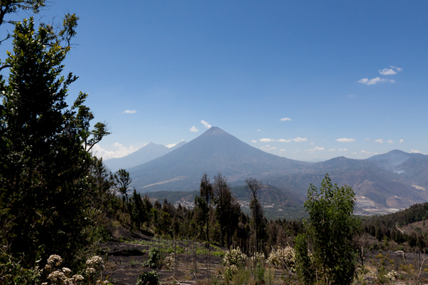
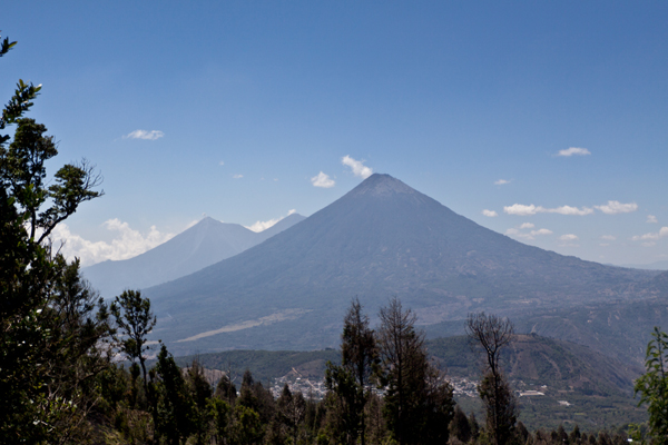
Another shot of the three Volcanoes that surround Antigua, just on the other side.
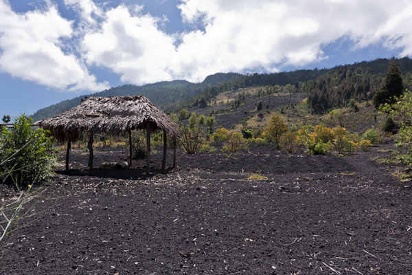
You can see how the trees here are just now starting to grow back from the scorching they received. Also, in the lower left is a blast hut still covered in Volcanic ash/rocks.
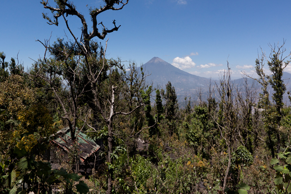
Finally a view of our destination, about half way up the trail.
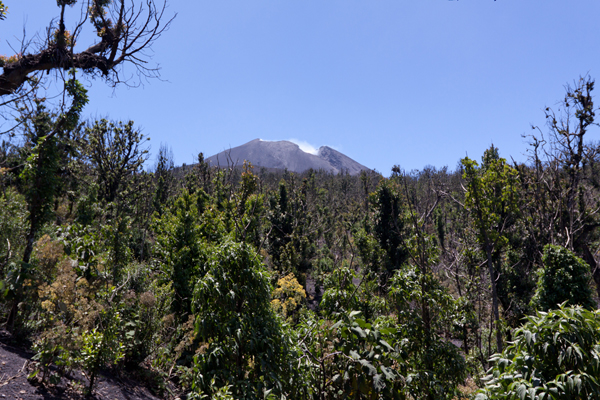
Almost though the treeline now.
And finally past the trees, onto the little plateau.
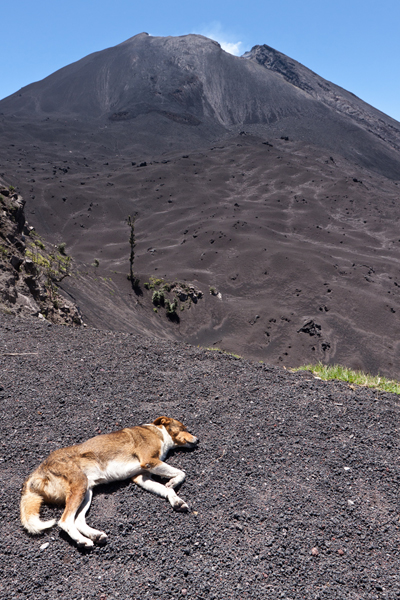
One of the stray dogs followed us all the way up. He would go into sleep mode when we stopped to take photos and talk about the Volcano.
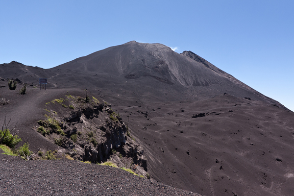
A view of the peak from the plateau.
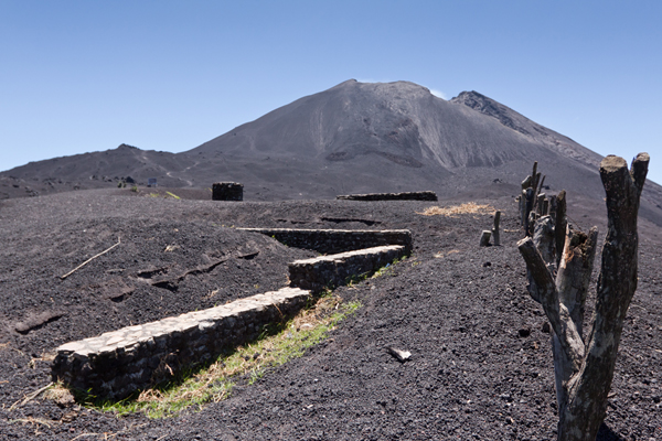
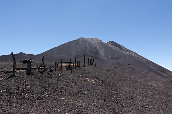
Never asked what these structures used to be. But they were heavily buried in rock.
One the left of the shot you can see the little trail we are going to take to get up around the edge.
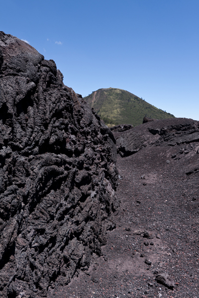
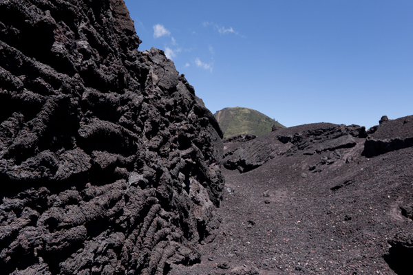
It’s really hard to take photos and show just how massive this thing was.
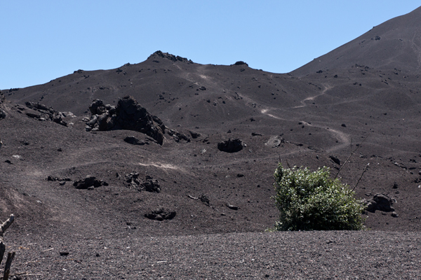
Here is more of the trail. You can see where people have walked before. Anything off the compressed trail and you were digging in and kicking up some serious ash.
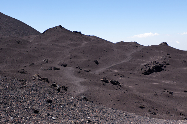
The view felt like a lunar landscape at times.
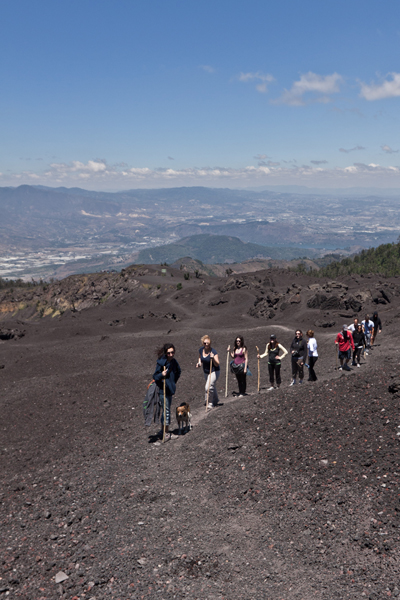
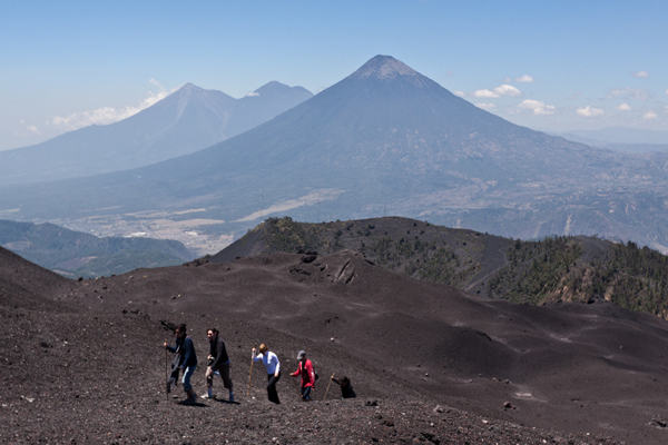
Here is a shot of the group we hiked up with. All horse rides stopped back at the plateau. And everyone was a lot happier they purchased the walking sticks back at the base.
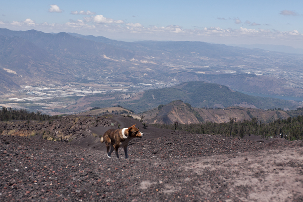
The dog travels on.
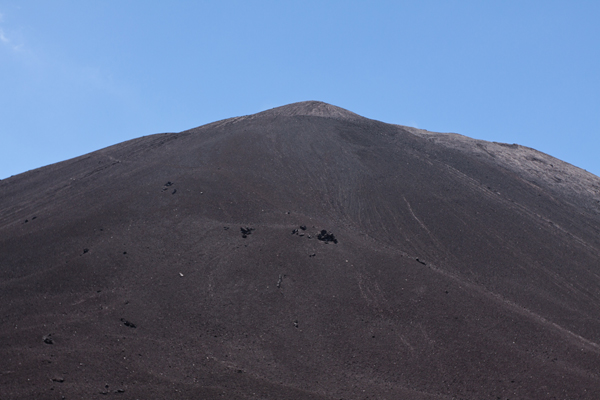
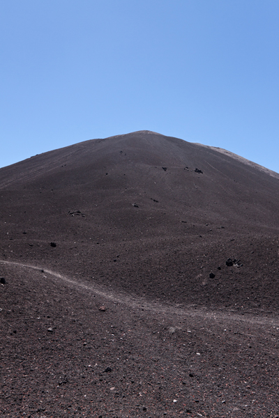
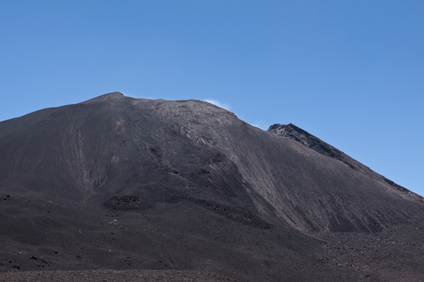
We are so close to the top that it is now just a giant black mound.
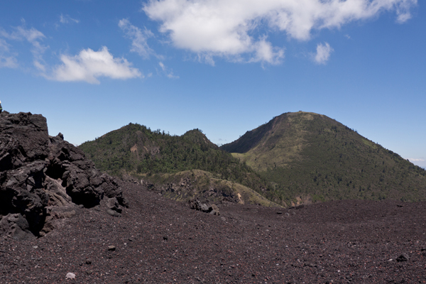
There are a few green mountains to the East of Pacaya.
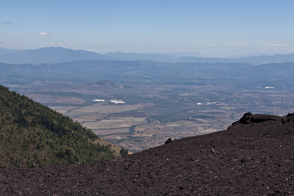
Looking over the Southern edge, you can see more Guatemalan farm land.
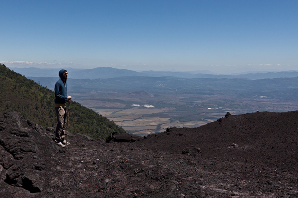
One of the travelers in our group surveys the land.
Unfortunately on our trip, there was no hot lava to be seen.
So without any hot lava poking to be had, we turned around and headed back down the Volcano.
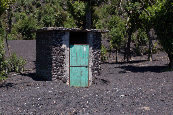
One of the blast shelters back in the tree line. You can see that there was over a foot of ash in front of the door which had to be dug out in order for it to open.
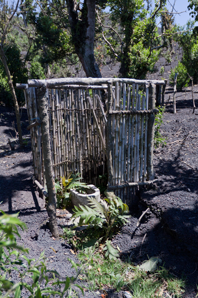
And for those who needed it, there were some of the finest facilities available for use.
Headed back down the Volcano, it’s hard to not snap more shots of the amazing views.
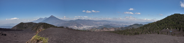
And here is a little panorama of the view from the plateau.
All in all, this was an amazing hike. About 2 hours to get to the plateau and about 35 minutes to get down. The views were breathtaking and the guides were as friendly as ever.
If you are into a bit of mountain hiking want a little bit of a challenge, then give this a shot. If you don’t think you are up to it physically, then you can just take one of the little horses up and down the volcano. It really doesnt get any easier than that. Just plan to do some heavy shoe cleaning afterwards, that volcanic dust gets everywhere!